India assigns standard names to 28 Ladakh places, move counters Chinese claims in the region

&imwidth=600&imheight=450&format=webp&quality=medium "India assigns standard names to 28 Ladakh places, move counters Chinese claims in the region")
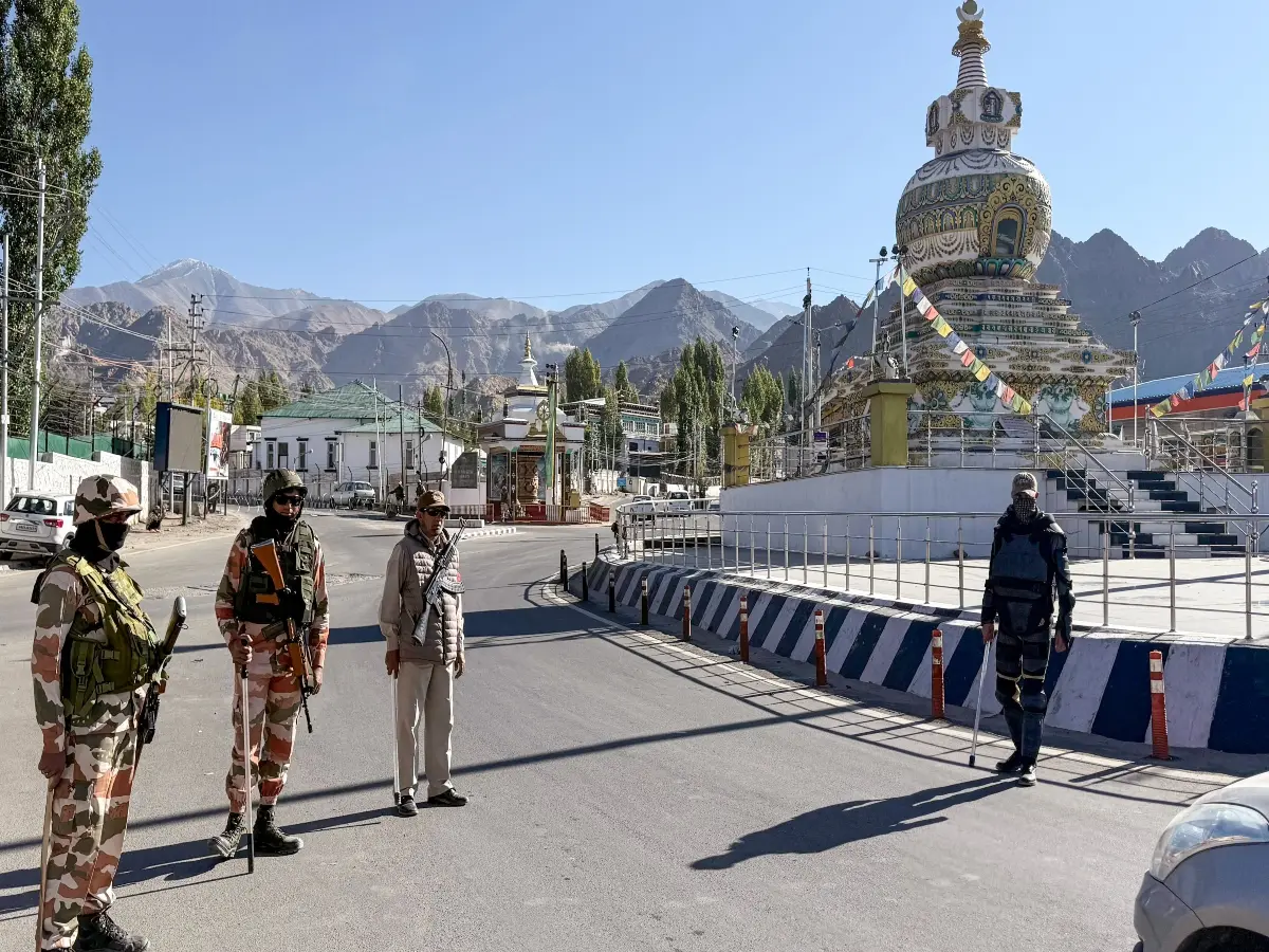
Representative Image
Among the land areas are Gogra and Hot Spring, both sites of friction between Indian and Chinese troops after the deadly clash in the Galwan Valley in June 2020.
India has formally assigned standard names to 28 places and geographical features in Ladakh on official Survey of India maps. The Ministry of Home Affairs said the government, in consultation with the Union Territory of Ladakh administration, had identified the locations so they could be recognised accurately and made better known to the public.
The list covers peaks, mountains, passes, glaciers, a valley, a river, a lake, a water body and several land areas. Named peaks include Atisha Giri, Kanishka Peak, Martand Giri, Zorawar Peak, Rinchen Zangpo, Sakyasri Giri, Marpa Lotsava Ri, Milarepa Kangri, Shiva Ri and Maheshvara Ri. Mountains listed are Karun Pir, Drak Karpo and Jolmori. Passes include Chapchingal Pass and Shachmirk Pass; glaciers include Parpik and Skamri; and other features include Shkorga Valley, Yangpa River, Guru Rinpoche lake and Hot Spring.
Among the land areas are Gogra and Hot Spring, both sites of friction between Indian and Chinese troops after the deadly clash in the Galwan Valley in June 2020. Indian and Chinese forces remain deployed in large numbers along the Line of Actual Control in eastern Ladakh, though partial disengagement has taken place at some points after multiple rounds of military and diplomatic talks.
The official statement does not mention China or the border dispute. It says only that formal identification on the Survey of India map is intended to aid accurate recognition and public awareness. The move reinforces New Delhi’s cartographic position in Eastern Ladakh, part of which is in Chinese occupation-Aksai Chin.
China has, in recent years, published standardised Chinese names for places in Arunachal Pradesh, claiming the Indian territory. India has rejected Beijing's renaming, claims and restated that the eastern state is an "integral part of its territory".
Trending Stories
)
)
)
)
)
)
)
)
)
)
)
)
)
)
)
)
)
)
)
)
)
)
)
)
)
)
)
)
)
)
)
)
)
)
&im=FitAndFill=(700,400))
)
)
)
)
Several of the names now formalised draw on Buddhist, historical or local references common in Ladakh, including figures such as the scholar Rinchen Zangpo. Others, such as Zorawar Peak, recall the 19th-century Dogra general associated with campaigns in the region.
The Survey of India is the national mapping agency. Its maps are treated as the official depiction of India’s territory for administrative and legal purposes.
