Tropical Storm Lee could transform into Category-3 hurricane by this date


Tropical Storm Lee has developed into a hurricane, according to forecasters
The US National Hurricane Centre on Tuesday said newly formed Tropical Storm Lee might rapidly intensify into an "extremely dangerous" hurricane in the Atlantic Ocean by this weekend. The storm could metamorphose into a major category 3 or stronger hurricane by Friday (September 8) with leeward Caribbean islands expected to feel its impact.
"There are no coastal watches or warnings in effect. Interests in the Leeward Islands should monitor the progress of this system," the centre said in its public advisory.

According to a CNN report, anyone in the eastern Caribbean – including the leeward islands such asPuerto Rico and Hispaniola – as well as the Bahamas will need to keep a close eye on the forecast.
The forecasters said the wind speed could easily reach 150 mph on Sunday evening. Currently, the tropical storm is mustering maximum sustained winds of 50 mph and moving about 1,230 miles east of the Leeward Islands, which include the Virgin Islands, Saint Martin, and Antigua and Barbuda.
Also read | Hurricane Idalia: US President Biden visits Florida to survey destruction, meets victims
)
India ‘deeply concerned’ as Houthi strikes hit Saudi civilian & energy sites
)
Three labourers killed as DU student loses control of his car, rams into them on Dwarka Expressway
)
Pentagon revives mandatory testosterone testing for male troops aged 30 and above
)
FACT CHECK: Why did PM Modi ask Xi ‘is it okay’ at BRICS Summit? New video reveals...
)
India seeks to build a full semiconductor supply chain
)
North Korea's last nuclear test in 2017 set off 1,399 earthquakes over 8 years, each stronger than previous
&im=FitAndFill=(700,400))
From Abhishek Sharma to Sahil Chauhan, 5 batters with fastest T20I hundreds
)
Indian activist-lawyer Prashant Bhushan's post brings focus on ‘conflict of interest’ appointments of ex-govt officials at Reliance, Adani groups
)
US And Denmark reach Greenland deal, Trump announces expanded military presence
)
Former India player Diana Edulji wants Smriti Mandhana to replace Harman as skipper at the earliest
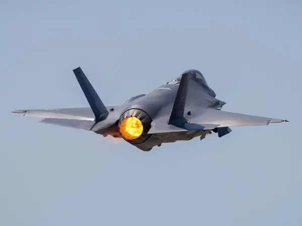)
China may have gained access to US's classified F-35 jets; parts meant for repairs diverted to Hong Kong, sparking Pentagon inquiry
&im=FitAndFill=(700,400))
Meet top 5 batters in the latest ICC T20I Rankings
)
Godfather of AI Geoffrey Hinton gives US lawmakers a one-year warning on AI
)
US F-16 fighter jet crashes in Michigan during training mission, pilot ejects safely
)
Shivakumar attends 79th Kalyana Karnataka Utsav in Kalaburagi
)
Trump signs Russia sanctions law: India faces fresh 100% tariff threat over Russian oil
)
Why Ranveer Singh’s Dhurandhar missed India’s Oscar entry; FFI jury member reveals what happened
)
Hong Kong extends newborn cash support scheme by three years
)
‘Will go to any extent’: Pakistan vows to defend Saudi Arabia amid Houthi attacks
)
'He will always be ahead': India coach Gambhir says Sooryavanshi won't walk into team ahead of Samson
)
The Verdict | When precision fails: US commits war crime in Minab school strike, UN finds
)
Trump signs Russia sanctions bill into law, targets Moscow’s energy sector
&im=FitAndFill=(700,400))
New Friday OTT releases (September 18, 2026): Lust Stories 3, You+Me, Best of the Best- 8 new titles coming on Netflix, Prime Video and more
&im=FitAndFill=(700,400))
Which country has the most F-35s outside America?
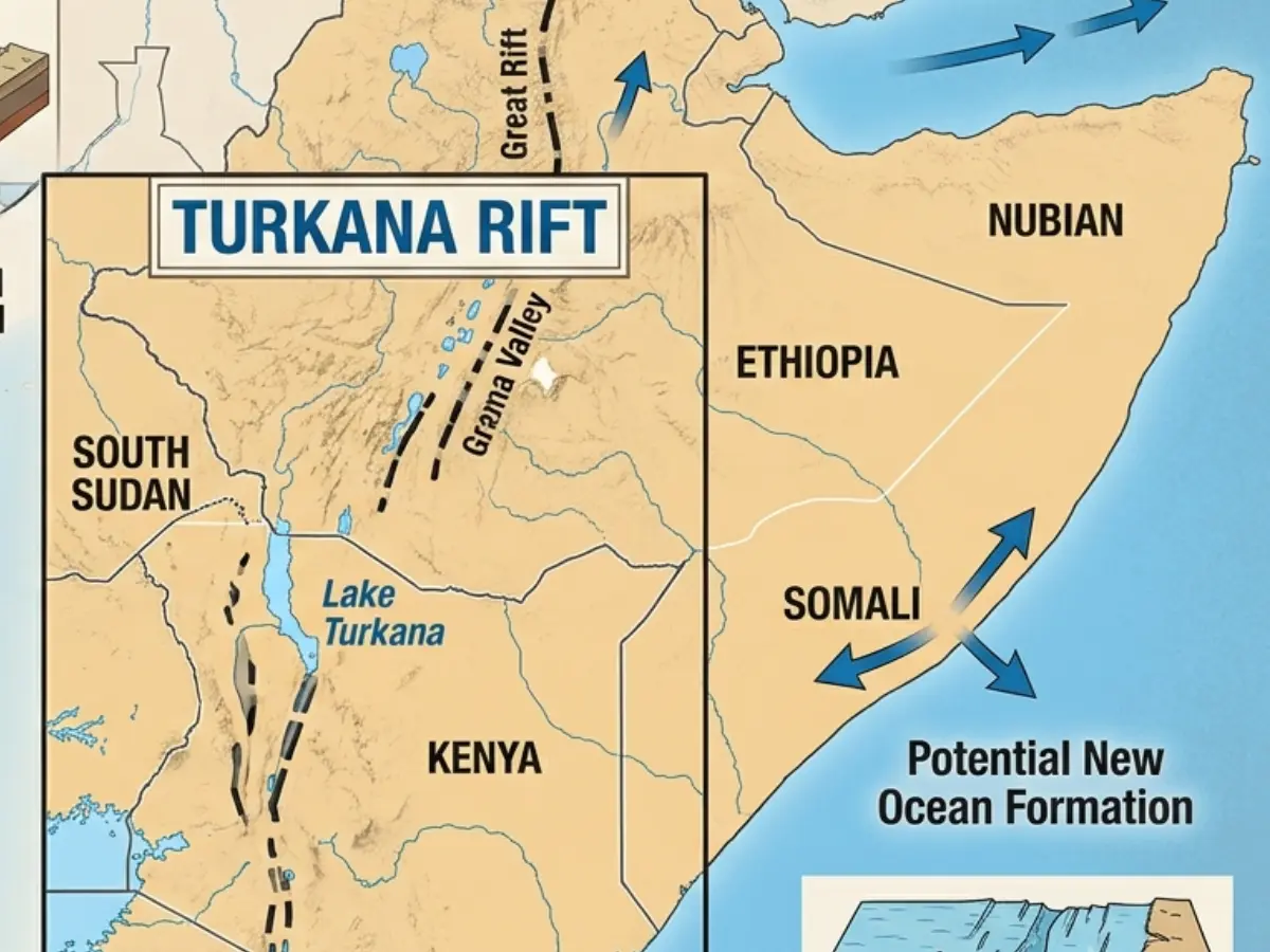)
Africa is splitting, and a lot sooner than estimated, giving way to a new ocean
)
'Gangsta' crab shoves knife blade at man and his dog in Florida - Watch
)
Trump bans CNN, MS NOW and Politico from White House over ‘FAKE NEWS’
)
Trump 2.0: Dark days ahead for America’s ‘imperial presidency’
)
Laura Wolvaardt sets new world record for most WT20I runs in a year
)
Trump's Greenland dream comes true? POTUS announces 'Infinite Life' deal with Denmark, claims permanent US control
)
Drone strikes cooling tower at Russia's Kursk Nuclear Plant, IAEA confirms
)
Who is Khalilur Rahman? All you need to know about 81st UN General Assembly President
&im=FitAndFill=(700,400))
Meet top 5 bowlers in latest ICC T20I rankings
)
Cristiano Ronaldo returns to Portugal squad for Nations League under new coach
&im=FitAndFill=(700,400))
Meet top 5 Indian batters with fastest T20I centuries
)
Ukraine plans record $109 bn defence spending, nearly two thirds of budget amid Russia war
Will it hit the US mainland?
The hurricane centre said it is too soon to call if the storm-turned-hurricane will impact the mainland US. However, the agency warned that even if the hurricane stays out, dangerous surf and rip currents could once again threaten the East Coast.
The storm might bringstrong gusts, heavy rain, dangerous surf and extremely large waves. Experts say because Lee is expected to only hug the Caribbean islands and stay in the open waters, cruise lines might feel more of the impact.
Notably, Lee transformed into a tropical storm on Tuesday after forming in the morning, whilst moving through extremely warm waters of the Atlantic. According to scientists, rapid intensification takes place when a storm's winds increase quickly over a short period of time. The phenomenon is usually aided by warm ocean waters.
Watch |Idalia: Florida assesses storm damage amid sense of relief
Moving ahead, the storm has nearly all the ingredients required to become menacing in nature: Plenty of moisture, low wind shear and abnormally warm water along the entire stretch of the cyclone's projected path.
Lee comes just a week after Hurricane Idalia smashed Haiti and parts of Florida.It was the largest hurricane to hit the US state in more than a century, with wind speeds hovering around 125 mph, leaving 500,000 residents without any power for days on stretch.
(With inputs from agencies)
WATCH WION LIVE HERE: