&imwidth=800&imheight=600&format=webp&quality=medium "India floods: How are states faring? From Kerala's AI-assisted alert systems to tackling Assam's mighty Brahmaputra, it's complicated")
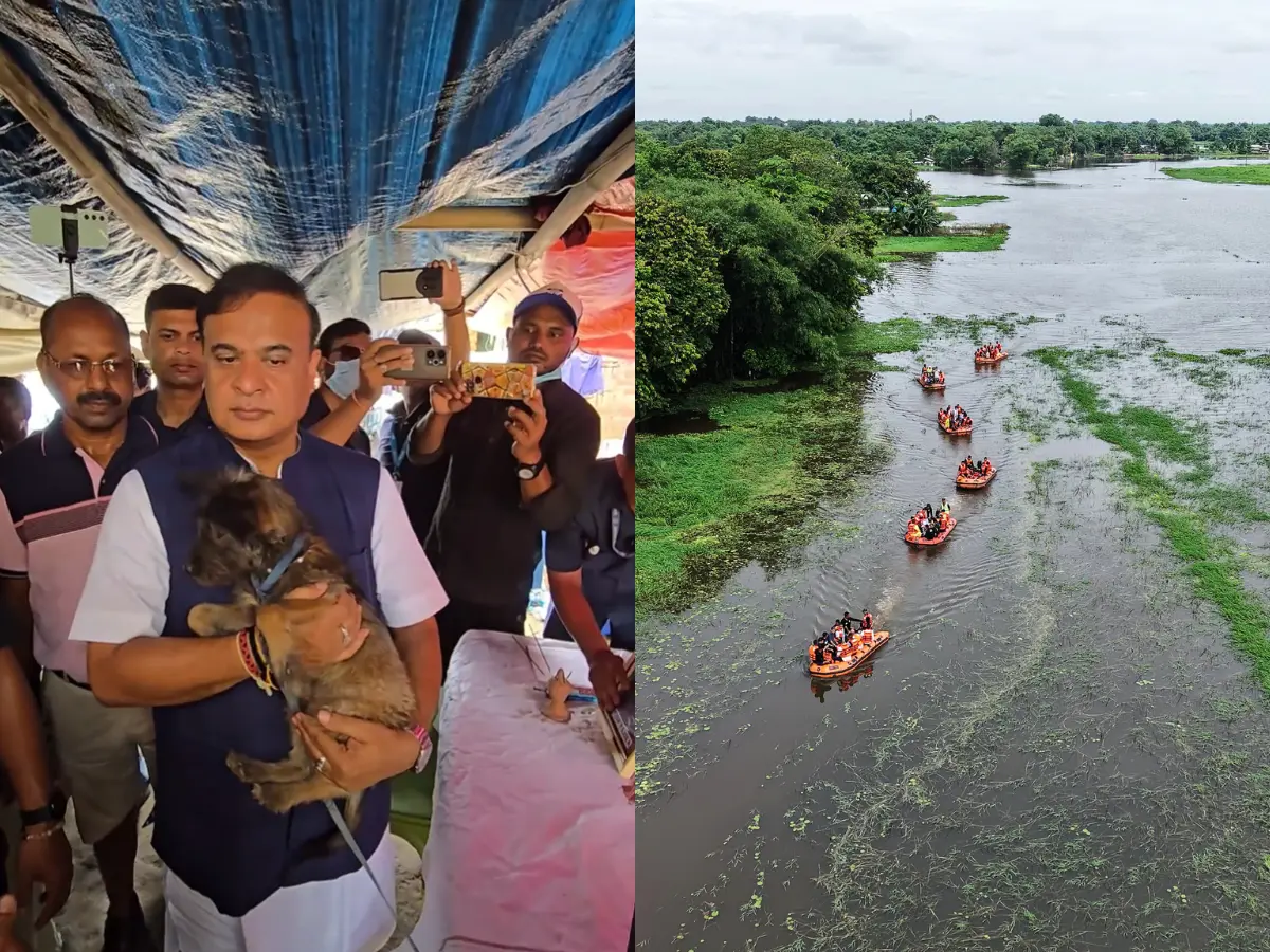
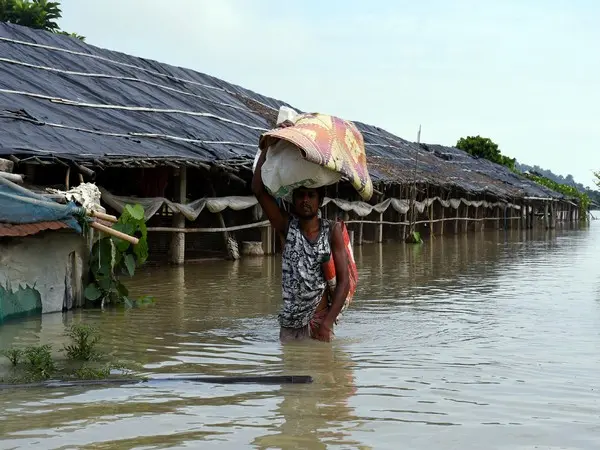
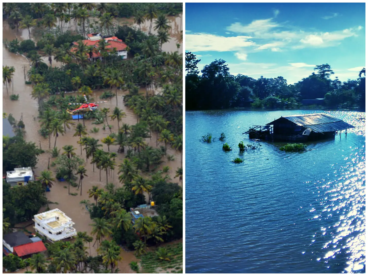
Dozens of people have died across India, from Kerala in the south to Assam in the north-east, due to monsoon floods. The heavy seasonal rains, resulting floods, and inundation of large areas are nothing new. But nearly 80 years into Independence, why are India's states still unable to address the flood situation effectively? Here is what states like Kerala and Assam are doing, and why the situation is more complicated than you might think.
Kerala's AI-assisted flood alert systems build on years of experience
Kerala, the first state where the Monsoon reaches India, has developed layered, technology-enabled flood management systems, especially after the devastating floods of 2018. This year, the state government announced broader Artificial Intelligence-backed disaster management initiatives.

These include real-time monitoring through Internet of Things (IoT) sensors, river gauges, as well as automated and manual rain gauges. Sensors to track soil moisture, along with continuous data on water levels and river flow, are also part of the system.
AI and machine learning models analyse rainfall, water levels, historical data, and weather inputs for predictive forecasting from hours to days in advance. This helps reduce false alarms and enables more accurate, impact-based warnings.
Also read: Assam Floods 2026: Randeep Hooda joins relief drive and distributes essential supplies in Sivasagar
Trending Stories
)
US vs China over South China Sea: Washington backs Philippines, Beijing hits back
)
Election Commission on 'damage control' : What do nine new decisions mean?
)
UK police arrest several under explosives act near air base used by US forces
)
LPU students go on rampage, vandalise campus amid widespread protest: What's happening
)
OpenAI AI Agents hacked 4 websites before Hugging Face, researchers reveal
)
US Treasury Secretary Scott Bessent hails global crackdown on Iranian banks and airlines
&im=FitAndFill=(700,400))
New Friday OTT releases (September 25, 2026): Don’t Be Shy, Hunkkaar: The Roar, Mango Pachcha- 6 movies and TV shows on Netflix, Prime Video and more
)
Asian Games 2026: India face Afghanistan in quarterfinal on Sep 28; Pakistan clash with Hong Kong
)
‘Attack on Mecca a red line for Pakistan’: Shehbaz Sharif warns Houthis at UN
)
WATCH | Delhi minister Parvesh Verma slaps man during road inspection – Here’s what happened
)
'Countries far from conflict are penalised': Jaishankar calls for Gulf peace, seafarer safety at UN
)
Bigg Boss 20: Salman Khan schools Rhiti Tiwari over Qazi Touqeer clash, compares her to Dolly Bindra
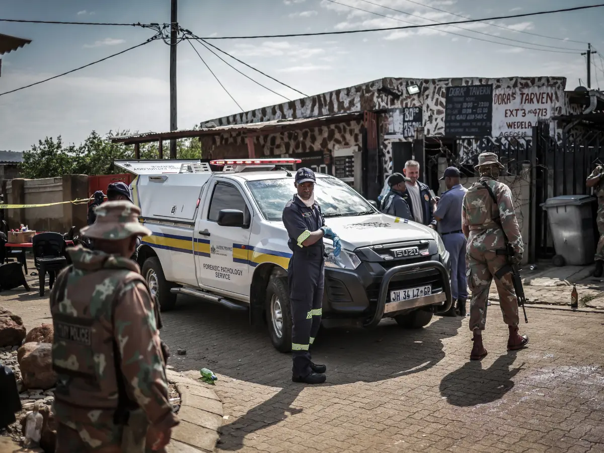)
Gunmen kill 27 in two separate mass shootings in South Africa
&im=FitAndFill=(700,400))
Humanoid robots to virtual worlds! Korean sci-fi dramas to watch: Are You Human Too?, Memories of the Alhambra and more
)
IND vs WI 1st ODI: Naman Dhir debuts as India bowl first in Trivandrum; check playing XIs
)
Nations League: Spain sink England at Wembley; Modric shines for Croatia
)
Two men die of suspected chemical exposure inside public toilet in Mumbai
)
Trump-Xi summit wrap: Big pageantry, Iran talks, few major developments and more meetings planned
)
‘Could kill billions...’: Bill Gates backs calls to slow AI development amid fears of catastrophe
)
Bollywood x K-pop crossover! LE SSERAFIM’s Kazuha charms fans with Shah Rukh Khan’s ‘Chammak Challo’ steps
)
US-Iran war: Trump rejects Iran's Hormuz proposal, reports suggest talks expected next week
)
Jaishankar at UNGA: Goodwill and friendship can't coexist with terrorism
)
Sri Lankan Tamil migrant worker gets death sentence in Saudi Arabia, help sought from India
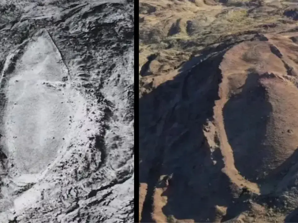)
'FIRST LOOK from inside Noah’s Ark': Researchers share video from inside mysterious mound in Turkey
)
UNSC reform momentum grows: Russia, Portugal, Mauritius push for India's permanent seat bid
)
Man arrested after his 22-year-old girlfriend dies at homestay in Guwahati; police suspect murder over suicide claim
)
SIR row: RTI response raises questions over EC’s claim of unanimous approval
)
WATCH | As Shehbaz Sharif claims Pakistan’s ‘victory’ during 2025 conflict, Indian diplomat R Srinivas laughs at UN
)
Ceuta migrant crisis: Protesters take to streets as Spain grapples with migrant challenge
)
Ramayana: Yash’s Ravana gets first official poster from Nitesh Tiwari’s epic
)
'A terrorist country is asking me that question?': Jaishankar hits back at Pakistani journalist at UN; flags attacks on commercial shipping
)
Russia will achieve Ukraine war aims; Europe doing everything to block peace talks: Lavrov at UN
Data collection is the key in addressing floods
The early warning systems in Kerala integrate data from the India Meteorological Department, satellite imagery, Geographic Information System (GIS) mapping, and community-collected hyper-local rainfall and weather data. The CoSiT-FloWS project in the Periyar and Chalakudy river basins is an example of community-based rain gauge monitoring.
Alerts are disseminated through a mobile apps, SMS, social media, sirens, and strobe lights. The KaWaCHaM (Kerala Warnings, Crisis and Hazard Management) system uses colour-coded alerts and voice messages to reach residents quickly.
The Idukki Disaster Resilience and Information System (IDRIS), a piot project, seeks to combine AI, sensors, and satellite data to provide flood and landslide alerts. There are also plans for AI-driven dam management and denser rain gauge networks.
Community-first approach to flood management in Kerala
The most effective disaster alert systems are those that actively involve local communities. In Kerala, warnings are communicated in multiple languages, including tribal languages, to ensure wider reach. Community-based monitoring of rainfall, soil conditions, and river water levels is linked to emergency operations centres for a coordinated response.
These systems have been credited with helping protect large numbers of people during recent floods, landslides, and other rain-related disasters.
Assam and eastern India's flood management is complicated due to the fury of mighty Brahmaputra river
Assam, the rest of the North-East, and parts of eastern India face severe flooding every year as rivers swell during the monsoon. Assam's situation is worsened by the overflowing of the mighty Brahmaputra and its numerous tributaries. The region's challenges are structural and longstanding, rather than simply the result of a lack of effort.
The Brahmaputra is a massive, sediment-laden, and constantly shifting river originating in Tibet, with major tributaries flowing from Arunachal Pradesh, Nagaland and Meghalaya. Intense monsoon rainfall in the upstream hills causes rapid runoff and sudden rises in river water levels.
Heavy sediment loads gradually raise riverbeds, reducing the river's carrying capacity and increasing the risk of floods.
Deforestation and land-use changes in the hills reduce water absorption
Deforestation in upstream areas increases soil erosion and landslides, sending even more water and silt downstream. Much of the Brahmaputra's embankment network, stretching for around 5,000 kilometres, is ageing and has exceeded its intended design life. Hundreds of breaches occur regularly during the monsoon.
A false sense of security created by these embankments has encouraged human settlements in floodplains. Living close to the river becomes a trap for many people during the floods.
These human settlements, combined with poor drainage planning, have led to the loss of natural flood buffers such as wetlands, floodplains, and spill channels. The Brahmaputra Board has limited implementation powers, restricting its ability to carry out large-scale flood management measures.
Forecasting and early warning systems are required
Early warning systems need to be strengthened, while available funds should be utilised more effectively for long-term, systemic change rather than only emergency responses. Human encroachments, inadequate desilting, and an increase in extreme weather events driven by climate change, along with phenomena such as El Nino, add to the challenges.
Modern forecasting, warning, and monitoring systems need to be integrated with indigenous knowledge and community-based practices, alongside nature-based solutions such as wetland restoration, floodplain conservation, and watershed management.