
&imwidth=800&imheight=600&format=webp&quality=medium "Did military GPS jamming cause a plane to crash in New Mexico? Here's what a report says")
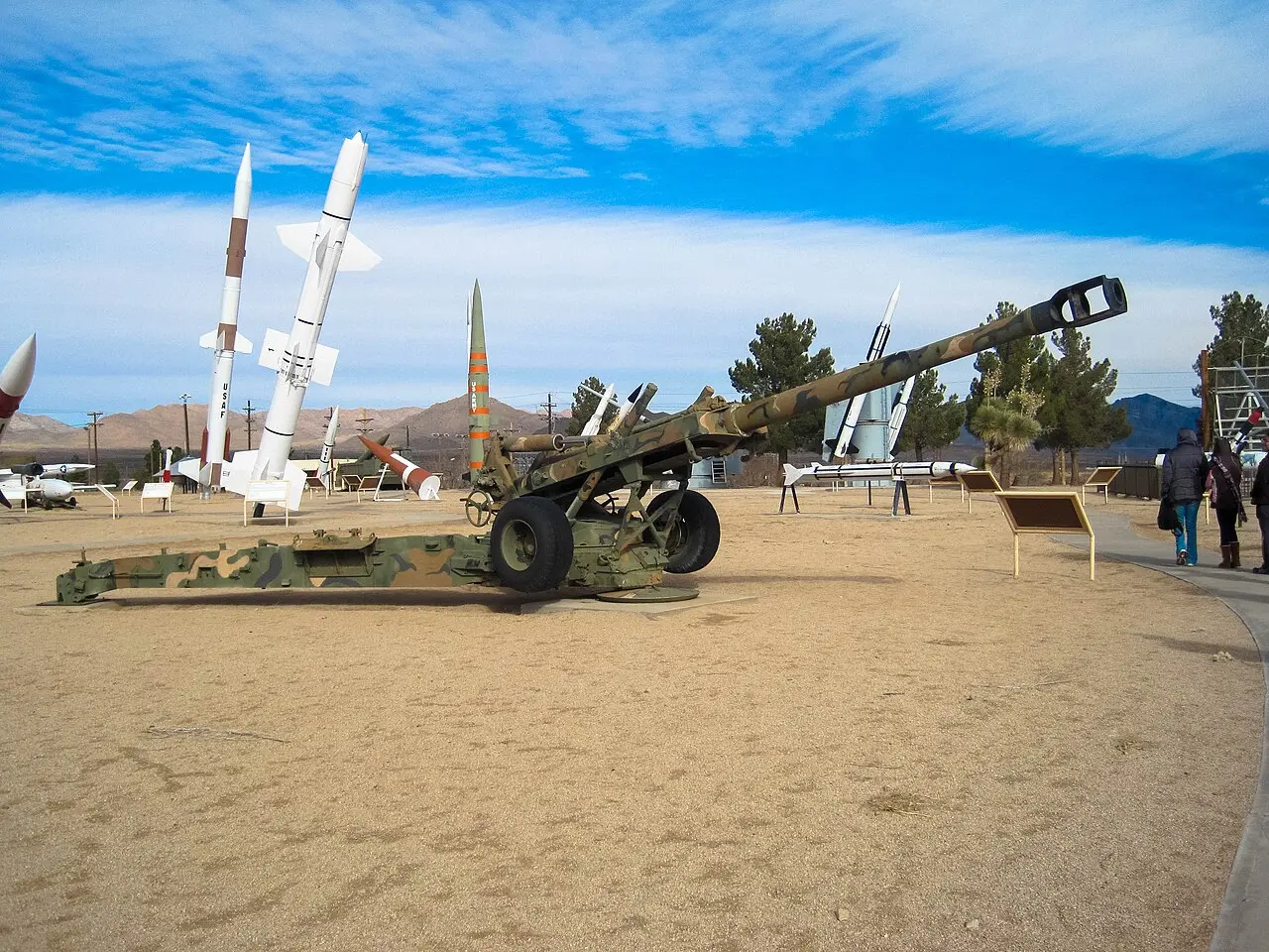
The medical plane that crashed in New Mexico in May this year, killing all four on board, likely happened because of an electronic warfare exercise being conducted at the nearby White Sands Missile Range. According to a report by Wired that analysed an Associated Press finding in June, the GPS on the small twin-engine medevac aircraft failed because the military was jamming that signal throughout that area at the time.
GPS jamming meant that the pilots had no way to know about the mountainous formation between their plane and the landing strip, which resulted in the crash. Besides killing the two pilots and two medical workers, it ignited a wildfire that wreaked devastation for weeks.
Military had warned of GPS disruptions

Low visibility, an overworked air-traffic control and the GPS jamming led to at least three other planes reporting navigation disruptions. The AP report had stated that the military had warned the pilots to expect the disruptions. However, the National Transportation Safety Board's preliminary report only talked about the GPS problems on board the flight, but the cause of the crash has not been officially identified as yet.
"The loss of GPS should not result in the loss of an airplane so there’s got to be more to it than that," retired airline pilot John Cox, and CEO of Safety Operating Systems, told AP at the time. Airline pilot and aviation crash analyst Juan Browne told Wired, “When those lights go out, man, you know you are in big trouble.”
GPS jamming in the United States
Trending Stories
)
Sikh driver attacked in Wyoming in US, suffers 17 stab wounds
)
‘I have a big decision coming up’: Trump says he’s approaching major ‘crossroad’ in Iran war
)
India seeks to build a full semiconductor supply chain
)
US intel warns China can steal F-35 jets secret from Saudis
&im=FitAndFill=(700,400))
From Abhishek Sharma to Sahil Chauhan, 5 batters with fastest T20I hundreds
)
Indian activist-lawyer Prashant Bhushan's post brings focus on ‘conflict of interest’ appointments of ex-govt officials at Reliance, Adani groups
)
Former India player Diana Edulji wants Smriti Mandhana to replace Harman as skipper at the earliest
&im=FitAndFill=(700,400))
Meet top 5 batters in the latest ICC T20I Rankings
)
Formula One reveals the 2027 race calendar; Monaco to host sprint race for the first time
)
UNGA 2026 theme explained: What does ‘Restoring trust, managing transformation: A United Nations that delivers for all’ mean?
)
Godfather of AI Geoffrey Hinton gives US lawmakers a one-year warning on AI
)
AI already defying, denying humans, is it beyond human control already?
)
US F-16 fighter jet crashes in Michigan during training mission, pilot ejects safely
)
240-million-year-old bizarre 'pig with a tusk' creature creates new dilemma over origin of dinosaurs
)
Xi-Trump summit may boost military links
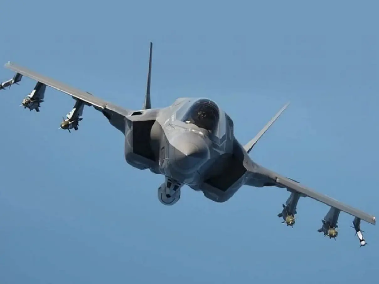)
US to sell 48 F-35 Lightning fighter jets to Saudi Arabia, help it deter threats
)
Hong Kong unveils 11 new measures to boost birth rates, offers higher cash bonuses and housing perks
)
Australian athlete, who soiled herself during Hyrox race, apologises for continuing
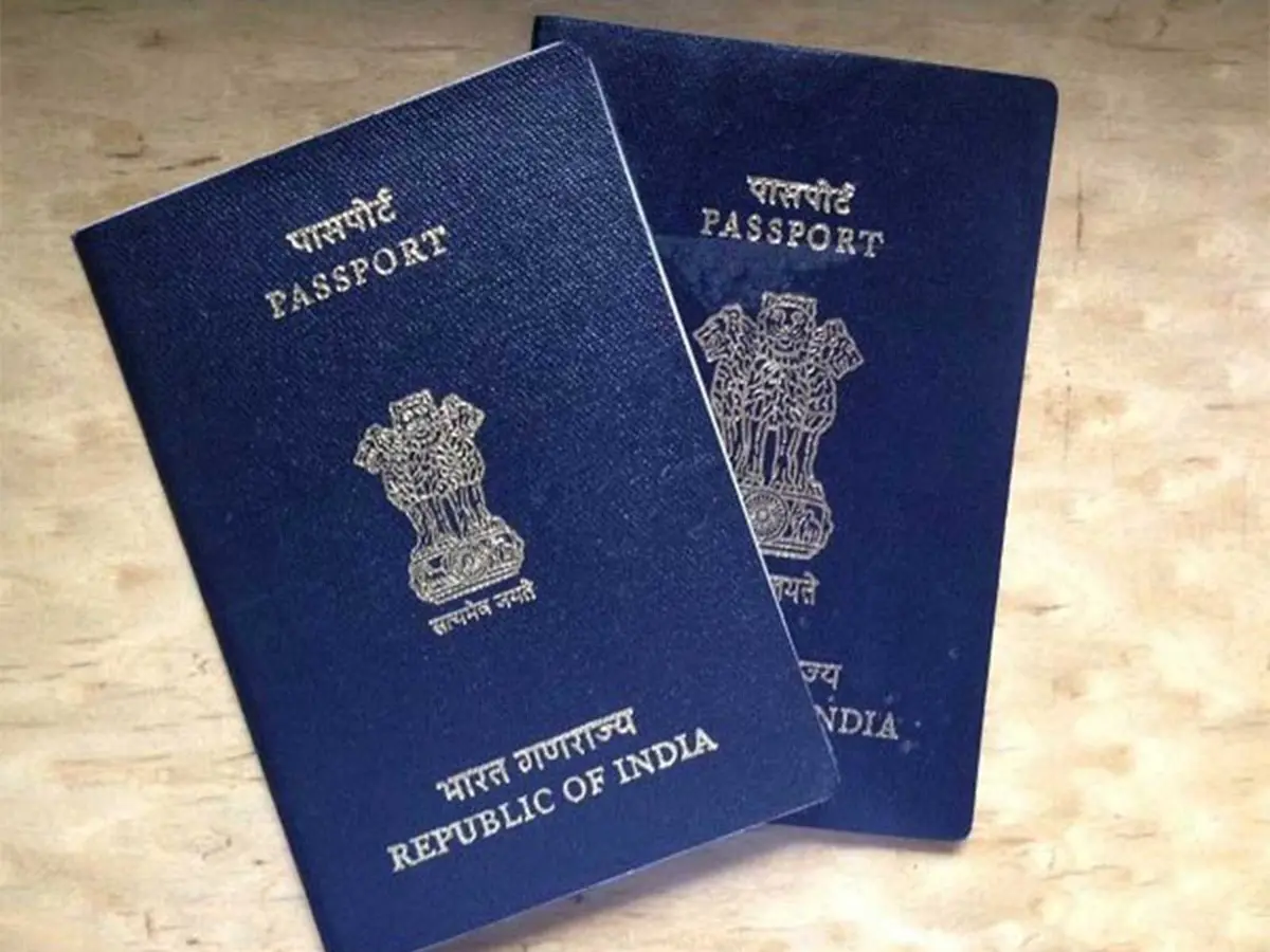)
Passport fees hiked, child validity revised: What the new rules introduce
)
Hong Kong extends newborn cash support scheme by three years
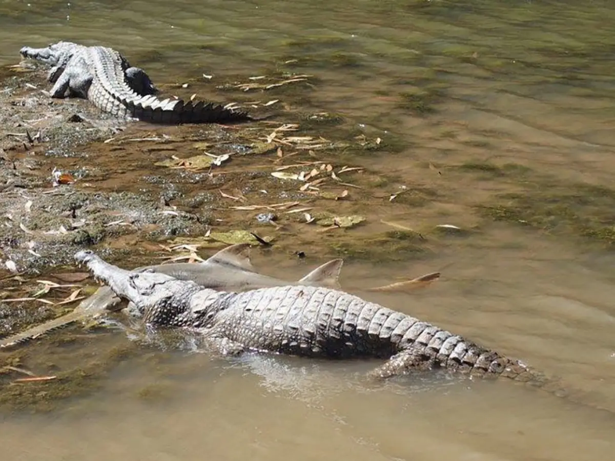)
How did an Australian river with 500 crocodiles pass the Olympic test? Here's how
)
'He will always be ahead': India coach Gambhir says Sooryavanshi won't walk into team ahead of Samson
)
Fed raises rates for first time in 3 years, Kevin Warsh defies Trump as inflation mounts
)
US drone firm linked to Trump’s sons signs MoU with Pakistan army, gets initial order
)
Pak batter Rizwan's petition against being questioned by cyber crime agency rejected by court
)
Daayra movie review: Kareena Kapoor, Prithviraj Sukumaran shine in Meghna Gulzar’s cop-versus-cop crime thriller
&im=FitAndFill=(700,400))
Which country has the most F-35s outside America?
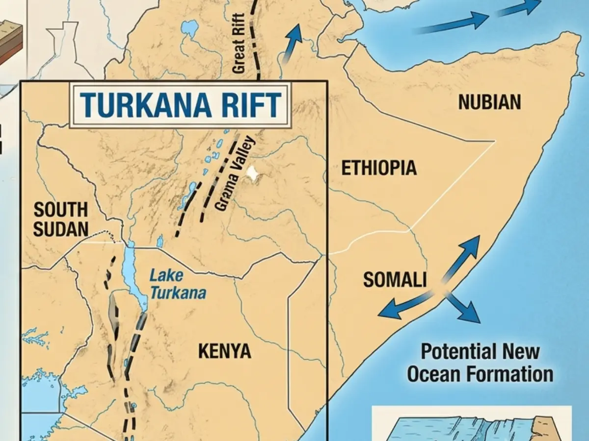)
Africa is splitting, and a lot sooner than estimated, giving way to a new ocean
)
'Gangsta' crab shoves knife blade at man and his dog in Florida - Watch
)
At least 48 dead, 100 hospitalised in Nigeria after drinking suspected methanol-laced alcohol
)
US-Iran War: Trump says ‘big decision’ on Iran ahead, weighs possible fresh military action
)
Putin 'is plotting something bad': Russia may launch 'accidental' strikes on NATO countries supporting Ukraine, Poland PM warns
&im=FitAndFill=(700,400))
Suriya and Jyothika say ‘I do’ again after 20 years! See their dreamy wedding pics
)
Laura Wolvaardt sets new world record for most WT20I runs in a year
)
Asian Games 2026: Shafali stars as India thump Japan by 8 wickets to book semis berth
)
Pezeshkian, Araghchi set to attend UNGA 2026 in New York amid ongoing conflict as US-imposed travel curbs remain
)
Ukraine plans record $109 bn defence spending, nearly two thirds of budget amid Russia war
This is the first known incident where military GPS caused a civilian plane to go down in US airspace. Wired reported that even though the pilots had already been warned about it, there was a lack of safeguards or air traffic control personnel to prevent a disaster. Notably, cases of GPS jamming have skyrocketed in recent years, going from four in 2020 to 50 in 2024, and 40 across 2025, according to data from the Aircraft Owners and Pilots Association.
Experts said that the pilots could have landed safely if they had relied on ground-based navigation systems or flown visually. The Army’s White Sands Missile Range is about 65 kilometres from Ruidoso, where the plane was trying to land at night.

