&imwidth=800&imheight=600&format=webp&quality=medium "9 days, every 90 seconds: Greenland megatsunamis that triggered global earthquake were real")
Scientists have successfully observed for the first time two megatsunamis that shook the world for nine days in 2023. The global seismic signal was recorded every 90 seconds. It was only after a year that the cause was revealed to be two megatsunamis in a remote East Greenland fjord. However, it was merely a theory till now, as no proof of the event had been found. Even a Danish vessel that visited Greenland three days after the first seismic signal did not see the megatsunami waves.
Now, using the new Surface Water Ocean Topography (SWOT) satellite, launched in December 2022, scientists have captured evidence of the Greenland megatsunamis, according to observations made using the SWOT satellite published in Nature Communications.
Waves got caught in a narrow inlet in Greenland

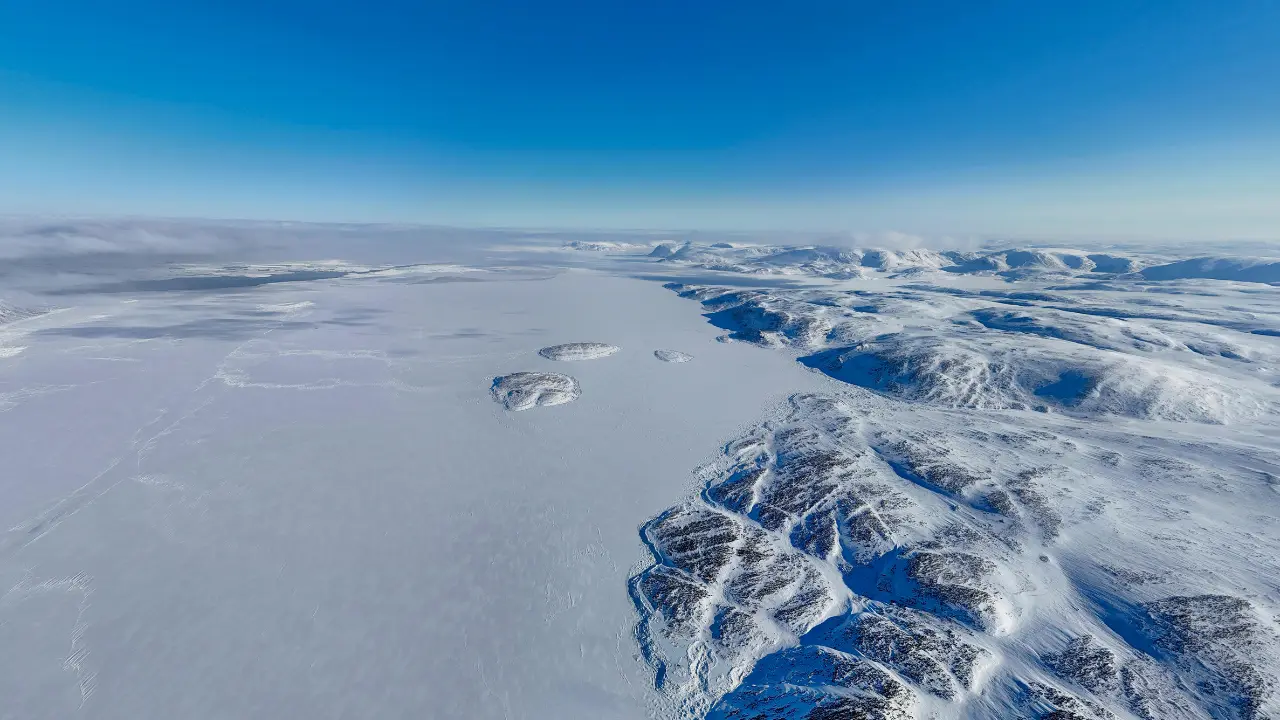
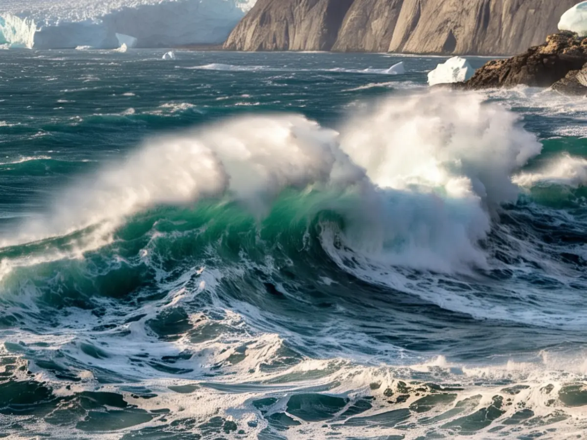
In September 2023, a glacier in Greenland, bearing the brunt of global warming, triggered two landslides. The waves that were unleashed got caught in between a fjord - a long, narrow sea inlet formed by a glacier and steep sides or cliffs.
The sky-high water swayed in this inlet, resulting in standing waves, also known as seiches. This movement resulted in mysterious seismic signals that were recorded across the world, every 90 seconds for nine days. They were again reported a month later.
Trending Stories
)
Trump-Xi Summit: Trade, Taiwan and the red lines shaping US-China talks | Race To Power
)
US judge questions Trump’s decision to ban CNN, MS NOW and Politico from White House
)
Afghan woman cyclist who disguised herself as a boy to escape Taliban, wins Asian Games medal
)
Trump signs Greenland security deal with Denmark, paving way for two new US military bases
)
IND vs JPN T20I: How an overturned wide became point of difference between India's win and a tie
)
IIT Bombay CCTV footage emerges: Sahil Wakode seen looking at phone in examination hall
)
Cyclone Arnab: Landfall expected before midnight tomorrow as IMD issues orange alerts across six states
)
NBA player Steven Adams shares hilarious GTA VI theory
)
TMC revives impeachment push against CEC Gyanesh Kumar after report of internal dissent
)
WION Iconic Tourism Summit 2026: Union Minister Shekhawat on 'experiential travel', peace diplomacy
)
ICC plans T20I expansion and fewer ODIs in 2027–2031 FTP cycle: Report
)
'AI got into my speech': Prince Harry jokes after teleprompter failure at event in New York
)
WION Iconic Tourism Summit: Seychelles envoy says India partnership is important for Seychelles
)
Scientists detect first radio signals directly from faraway planet
)
China to test supersonic jet that moves at Mach 2, double the speed of sound
)
WION Iconic Tourism Summit: 'Hanuman Ansh' Director on blockbuster success
)
Open AI, Anthropic CEO urges caution over rapid AI development at UN Security Council, call for 'extreme care'
)
Bomb scare in New York amid UNGA: Suspicious suitcase found near UN headquarters
)
Hours before Xi-Trump meeting, US announces visa curbs targeting birth tourism: What is it?
)
WION Iconic Tourism Summit: Is India's travel boom outrunning its airports, airlines and hotels?
)
WION Iconic Tourism Summit and Awards 2026: Key voices to discuss India’s tourism future
)
Trump-Xi state dinner 2026: Who is invited? Full guest list of tech CEOs, business leaders and officials
)
American manufacturing is reshoring faster than its factory floors can absorb
&im=FitAndFill=(700,400))
New OTT releases this week (September 21-27, 2026): Shaque: Trust No One, Hunkkaar, Don’t Be Shy- 5 new titles coming to Netflix, Prime Video and more
)
WATCH | China President Xi Jinping lands in US as Trump greets him ahead of high-stakes summit
)
Australian PM Anthony Albanese calls OpenAI AI incident 'unacceptable' after restricted data access
)
'What kind of confession is this?': Pakistan PM Shehbaz Sharif’s 'terrorists would be roaming New York' remark goes viral, raises alarm online. Watch
)
WION Iconic Tourism Summit: How local tourism MSMEs must upskill for AI integration
)
Elephants hide behind trees, stage surprise attack on poachers targeting rhinos in South Africa
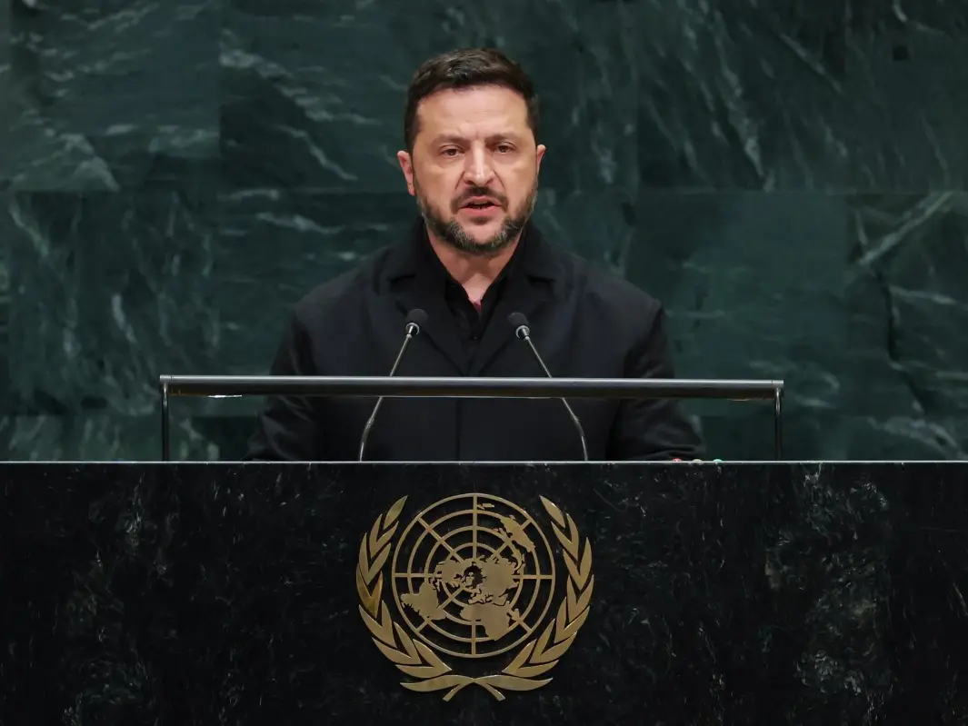)
'Putin is patient zero': Zelensky slams Russian president at UNGA, accuses him of using fighters from 47 countries
&im=FitAndFill=(700,400))
National Film Awards 2026: Kartik Aaryan, Mammootty, Yami Gautam, Randeep Hooda and other key winners
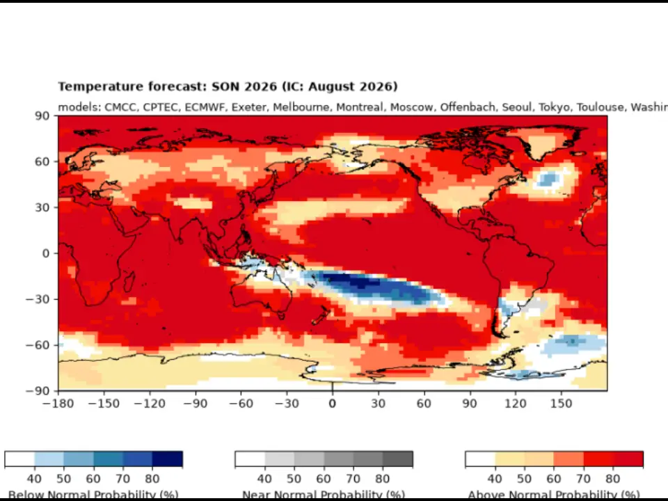)
El Niño 2026 heats up to become strongest in 1,000 years
)
Israeli envoy to US Yechiel Leiter’s son critically injured in West Bank ramming attack
&im=FitAndFill=(700,400))
Trump welcomes Xi Jinping in rare airport gesture: Photos from Chinese President's arrival in US
)
Anne Hathaway to run in supporting race for Nolan's epic
)
Xi-Trump meeting: China’s human rights red line and past protests explained
Oxford researchers interpreted satellite altimetry data using the new technique. They measured the time a radar pulse took to travel from a satellite to Earth's surface and back again to deduce the height of Earth's surface, including that of the ocean.
Also Read: One planet will trigger the death of everyone in the solar system. A star will aid and abet
Satellite captured the megatsunamis
Conventional satellite altimeters failed to capture any evidence of the megatsunami because their technology could not spot the differences in water height needed to spot the waves. However, the SWOT has two antennas mounted on a 10-meter boom on either side which enables it to measure ocean and surface water levels with great accuracy along a 50 kilometre wide area.
Elevation maps of the Greenland Fjord showed "cross-channel slopes with height differences of up to two meters" at the time the megatsunamis hit. They also moved in opposite directions, proving that the water caught there moved back and forth.
The study authors said that climate change is driving quick shifts in remote areas, like the Arctic. Satellites like SWOT can help them record these. Lead author Thomas Monahan of Oxford said, "Climate change is giving rise to new, unseen extremes.
These extremes are changing the fastest in remote areas, such as the Arctic, where our ability to measure them using physical sensors is limited."
"This study shows how we can leverage the next generation of satellite earth observation technologies to study these processes."