WION Decodes | China's Brahmaputra mega dam under scanner after study warns of active fault line

&imwidth=600&imheight=450&format=webp&quality=medium "WION Decodes | China's Brahmaputra mega dam under scanner after study warns of active fault line")
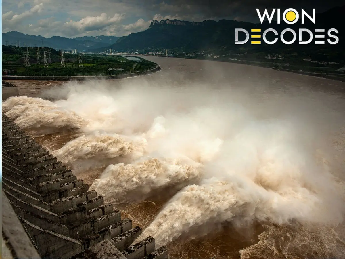
This photo taken on July 19, 2020 shows water being released from the Three Gorges Dam, a gigantic hydropower project on the Yangtze river, to relieve flood pressure in Yichang, central China's Hubei province. Photograph: (AFP | WION Combination image)
A Beijing-backed geological study has raised fresh safety concerns over China's mega dam on the Brahmaputra, warning that an active fault line beneath the project could threaten its long-term structural stability.
China's massive hydropower project on the Yarlung Tsangpo River in Tibet has already raised concerns in India and Bangladesh over its potential impact on downstream water flows and the environment. Now, a Beijing-backed geological study has turned the spotlight on another question: how safe is the world's largest hydropower project in one of the planet's most earthquake-prone regions?
The findings come as India continues to seek greater transparency from China over the project. New Delhi has repeatedly urged Beijing to ensure that upstream activities do not adversely affect downstream countries while protecting the interests of lower riparian states.
Why is the dam strategically important?
The project is being built on the lower reaches of the Yarlung Tsangpo River in Tibet, just before it enters India as the Brahmaputra. The river then flows through Arunachal Pradesh and Assam before reaching Bangladesh, supporting millions of people through agriculture, drinking water, fisheries and local ecosystems.
China has described the project as a key national infrastructure initiative aimed at boosting energy security, promoting regional development and helping meet its carbon reduction goals. Premier Li Qiang attended the groundbreaking ceremony in July 2025, with Chinese state media presenting it as a major milestone in the country's clean energy transition.
Also Read: Iran's Supreme Leader vows to 'avenge the blood' of his slain predecessor and father 'soon'
Trending Stories
&im=FitAndFill=(700,400))
)
)
)
)
)
)
)
)
)
)
)
)
)
)
&im=FitAndFill=(700,400))
)
)
)
)
)
)
)
)
)
)
)
)
)
&im=FitAndFill=(700,400))
Once completed, the project is expected to become the world's largest hydropower station, surpassing the Three Gorges Dam. However, its location inside the Yarlung Tsangpo Grand Canyon, where the river drops sharply over a short distance, offers huge power generation potential while creating significant engineering challenges.
What has the new geological study found?
According to a study supervised by the state-owned China Geological Survey, an active fault line runs directly beneath the reservoir area of the project, raising concerns over its long-term structural stability.
The findings, published last month in the Chinese-language journal Sedimentary Geology and Tethyan Geology, identify the Paizhen Fault as a major geological risk for the project.
Researchers said the fault has remained active, with evidence showing movement as recently as about 9,500 years ago and could affect the structural integrity of dams, bridges, roads, tunnels and other infrastructure built in the region.
The study found that continuous fault activity has fractured surrounding rocks and altered their mechanical properties, making the foundation and stability of engineering structures more vulnerable.
Researchers also warned that the reservoir area has loose terrain and weak cohesion. They said earthquakes, fault movement and prolonged water exposure could trigger slope failures on both sides of the reservoir.
Why are scientists concerned?
The researchers pointed to geological evidence showing that the Paizhen Fault remained active into the Holocene period, with signs of movement dating back about 9,500 years.
They also cited the magnitude 6.9 Milin earthquake that struck Tibet in 2017 near the northern end of the fault as evidence that the fault remains seismically active.
According to the study, future earthquakes could trigger landslides and collapses, posing risks to both infrastructure and personnel working around the project.