&imwidth=800&imheight=600&format=webp&quality=medium "Scientists detect signs that mammoth rivers flowed in Antarctica 80 million years ago")
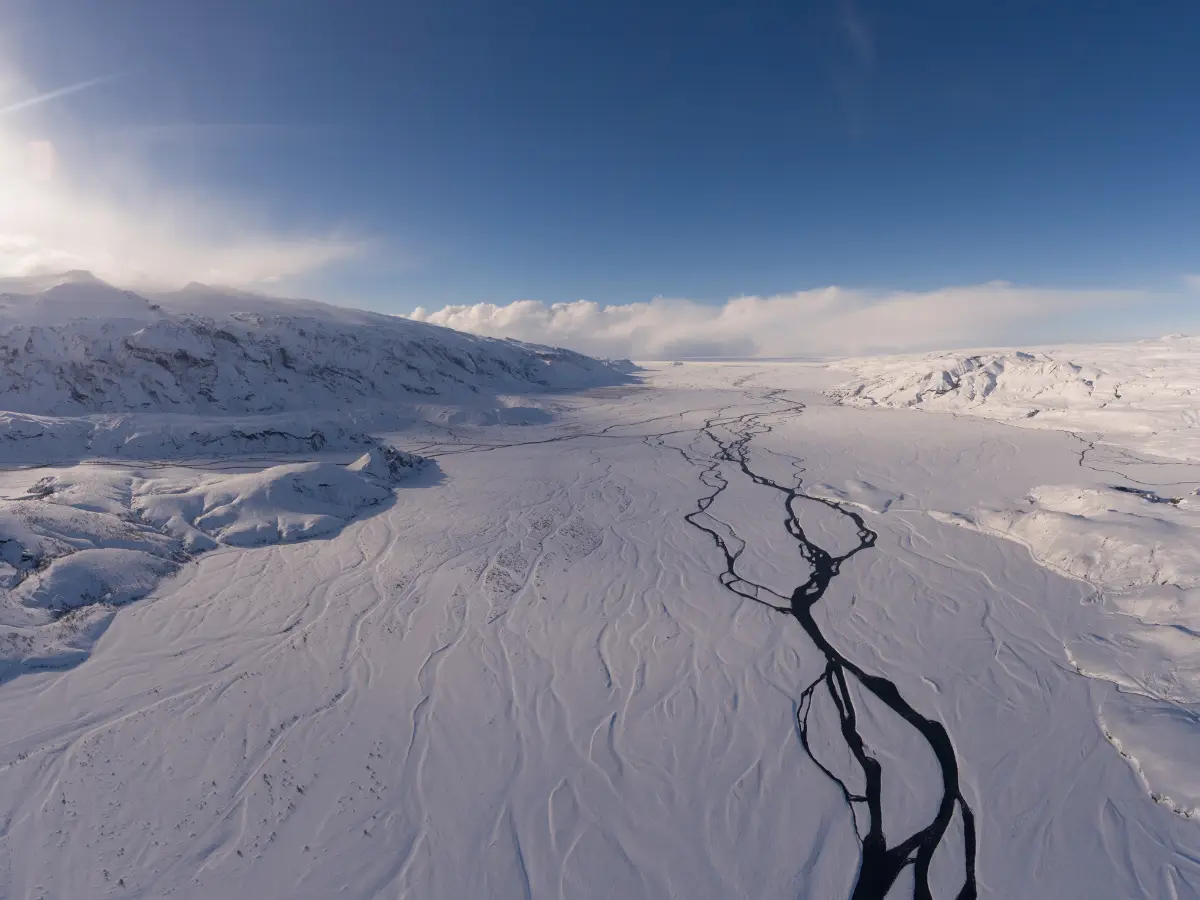
Scientists have discovered carvings left by ancient rivers millions of years ago under the Antarctic Ice Sheet. As these rivers eroded, large, flat surfaces were formed beneath the ice in East Antarctica between 80 million and 34 million years ago. The research was published on July 11 in the journal Nature Geoscience. Experts are now trying to understand what led to the creation of these features under the ice, as this could help make more accurate predictions about future ice loss. Neil Ross, a geophysicist at Newcastle University in the UK, said in a statement, "We've long been intrigued and puzzled about fragments of evidence for 'flat' landscapes beneath the Antarctic ice sheets." The researchers added that this reveals "how these ancient surfaces formed, their role in determining the present-day flow of the ice, and their possible influence on how the East Antarctic Ice Sheet will evolve in a warming world."
Also Read: Mysterious radio signals just tore through Antarctic ice. They could be coming from edge of universe

East Antarctic Ice Sheet at risk of collapse
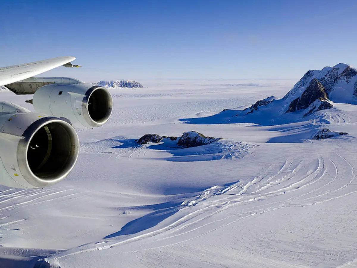
Climate change risks that global sea levels to rise by several feet in the coming decades. The East Antarctic Ice Sheet could also melt, triggering sea levels to rise by 160 feet. Scientists say that accurately predicting how much the ice sheet might melt in the coming years requires an understanding of past behaviour and the conditions at its base. Radar data from four previous surveys were used in the study to map the shape of the bedrock beneath the ice. "When we were examining the radar images of the sub-ice topography in this region, these remarkably flat surfaces started to pop out almost everywhere we looked," study co-author Guy Paxman, a polar geophysicist at Durham University in the UK, said in the statement. "The flat surfaces we have found have managed to survive relatively intact for over 30 million years, indicating that parts of the ice sheet have preserved rather than eroded the landscape." Also Read: Dinosaurs survived a freezing dark land in Australia-Antarctica 120 million years ago
Rivers under Antarctic ice
Trending Stories
)
'Lot of things to learn from experienced players': Jayasuriya backs Rohit, Virat for 2027 ODI World Cup
&im=FitAndFill=(700,400))
Kareena Kapoor birthday special: Inside her net worth, best movies, luxurious lifestyle and love story with Saif Ali Khan
)
Trump says he'll build an 'AI Force' and appoint a czar, for 'high IQ' people only
)
Punjab man consumes poison outside DC office; Congress, BJP target AAP government
)
SNL UK takes aim at Ed Sheeran with AI Princess Diana sketch
)
Iran sets 7 conditions to end war with US: What are Tehran’s demands?
)
AI actress Tilly Norwood glitches mid-interview, switches from English to Chinese | Watch
)
Mahabharat actor Saurav Gurjar arrested in Hyderabad, sent to 14-day judicial custody in sexual exploitation case
)
Chancellor Friedrich Merz vows to stay on as exit polls signal major poll setback
)
J&K Assembly Session begins amid chaos: BJP, ruling alliance clash as statehood demand dominates
)
Taylor Swift has a 'proud wife' moment as Travis Kelce scores first touchdown of season: 'That’s my husband!'
)
'Were you here to sell chickpeas?': Wasim Akram criticises Babar Azam's captaincy
&im=FitAndFill=(700,400))
New OTT releases this week (September 21-27, 2026): Shaque: Trust No One, Hunkkaar, Don’t Be Shy- 5 new titles coming to Netflix, Prime Video and more
)
Noel Tata challenges Chandrasekaran’s reappointment as Tata Sons chairman. What happened at the board meeting
)
Italy moves to ban face veils in schools as Meloni pushes new integration measures
)
TIFF 2026: Theja Rio’s Angh wins Platform Prize, puts Nagaland story on global stage
)
Delhi: Flagged voters remain on the draft roll but face hearings
)
Saudi Arabia exits China-led mBridge digital currency platform amid Saudi-Houthi conflict
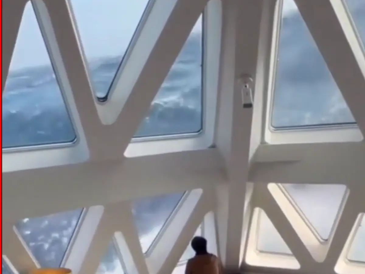)
40-foot waves crash into cruise ship in dangerous stretch near Antarctica. Watch
)
Jailer 2: Vidya Balan joins Rajinikanth's upcoming film as Kantha | Watch
)
‘0% chance’: Nvidia CEO Jensen Huang dismisses AI extinction fears by 2030
)
Samsung raises Galaxy S26 prices by Rs 20,000: Here’s what each model now costs
)
Bessent meets China’s He Lifeng to prepare for Trump-Xi summit
)
CDU suffers historic defeat in eastern Germany as AfD surges, Merz vows to stay on
)
China now makes advanced memory chips without the machines it was banned from buying
)
Arvind Kejriwal, family members, Delhi CM Rekha Gupta get SIR notices
)
Trump-Xi summit: US Treasury Secretary holds meeting with Chinese Vice Premier
)
Fleming's aspirations as England Test coach include WTC, top ranking and Ashes
)
Saudi vs Houthis: Houthis claim missiles & drones used in attack on key Saudi sites
)
Delhi Air pollution: Strict crackdown on waste burning
)
Apple reportedly building AI server with M8 Ultra chips, may use Nvidia technology
&im=FitAndFill=(700,400))
What TSMC's 2nm technology means for Apple
)
Glitch in the matrix caught on camera: Woman vanishes after talking to reporter
)
Several petrol pumps, other businesses to refuse UPI payments above Rs 2,000 from Oct 16: Is it legal?
)
AI kill switch explained: Why shutting down a dangerous AI may not be as simple as pressing a button
)
Microsoft executive called AI training the ‘largest theft of labour in human history’
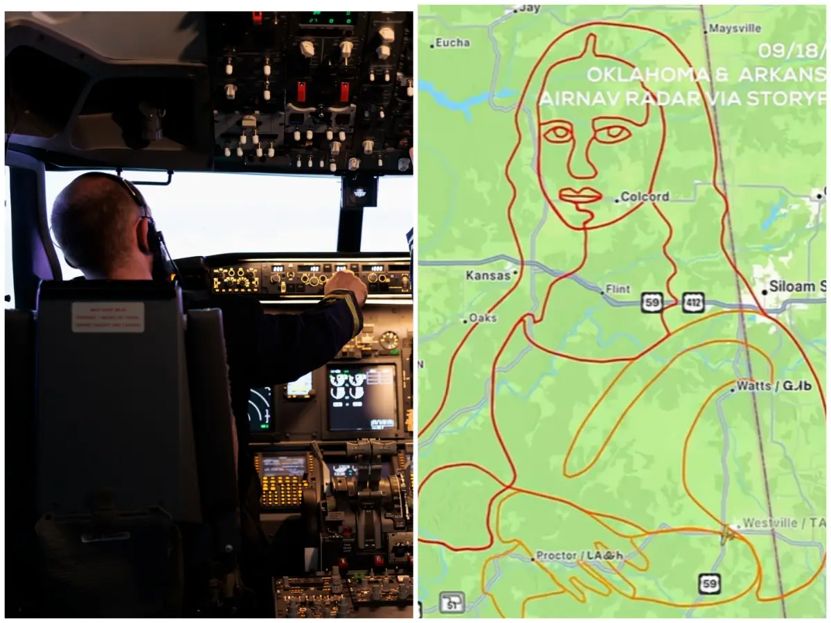)
Pilot recreates Mona Lisa in sky over Oklahoma and Arkansas in four-hour flight: VIDEO
)
US ships in Indian Ocean ‘will be attacked’ if war resumes, warns Iran
)
Samay Raina-Mukesh Chhabra controversy explained: What happened over girlfriend joke on India's Got Latent?
)
Putin's United Russia party wins 355 seats in Duma election; 4 other parties cross threshold to enter parliament
)
S Jaishankar, former Army chief among high-profile names issued Delhi SIR notices
The discovery includes a 3,500 kilometre section of the East Antarctic coastline, comprising flat expanses and deep troughs in some places. The troughs supposedly formed when meltwater dipped as the East Antarctic Ice Sheet expanded. Talking about the timing of the formation of the carvings, they are believed to have formed before the East Antarctic coastline existed, but some time after the supercontinent of Gondwana broke apart. This puts the timeline somewhere between 80 million and 34 million years ago. Ice also moves at different speeds in the two regions. Over the flat surfaces, it moves more slowly, while in the troughs between them, the ice flows much faster. Scientists say that retrieving rock samples from under the ice and analysing them will help with predictions about how much ice loss could occur in the future, triggering a rise in sea level.