Arctic blast to wreak havoc: Britain to be colder than Iceland with mercury dipping to -12ºC

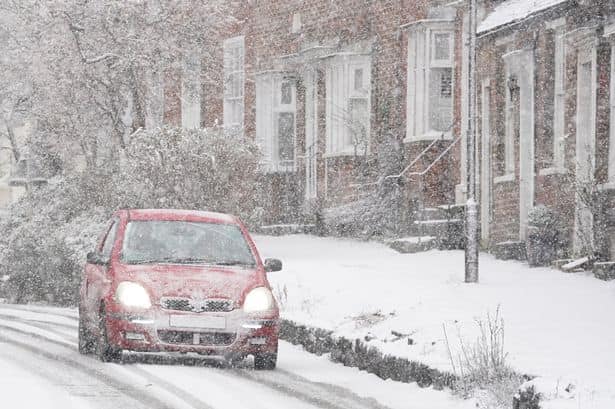
Britain all set for Arctic blast this week
An Arctic blast is poised to bring frigid nights to Britain next week, potentially colder than Iceland. A northerly wind is expected to bring in cold Arctic air across the UK, prompting the UK Health Security Agency to issue cold health warnings. The Met Office has also implemented yellow severe weather warnings.
While initial snow and ice accumulation will be concentrated in Scotland and Northern Ireland, with up to 10 centimetres in low-lying areas, the rest of the UK will also face freezing conditions and later, snow. Temperatures may drop significantly, potentially falling below those in Iceland.
The Met Office forecasts temperatures around -7ºC in Reykjavik on Wednesday (Jan 17), while WX Charts predict parts of northern Scotland could plummet as low as -12ºC.

Watch:UK PM Sunak announces $3.2 billion aid for Ukraine in Kyiv
A vast 756-mile-long weather warning covers the country, bringing snow and ice from Lewick in Shetland, Scotland, to Tenby in Wales. Yellow weather warnings are in place from Sunday through Thursday (Jan 18), initially covering northern Scotland and the Shetland Islands with snow, ice, and a wind warning.
)
Trump-Xi Summit: Trade, Taiwan and the red lines shaping US-China talks | Race To Power
)
US citizen injured in Illinois after ICE agents mistook him for fugitive, hospitalised
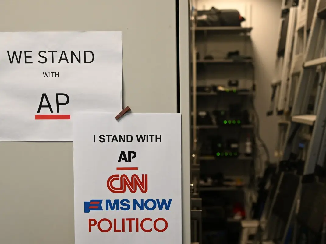)
US judge questions Trump’s decision to ban CNN, MS NOW and Politico from White House
)
Afghan woman cyclist who disguised herself as a boy to escape Taliban, wins Asian Games medal
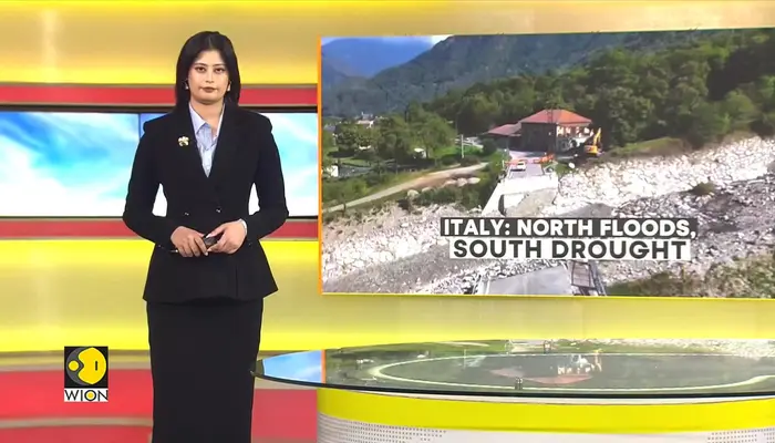)
Italy hit by floods in the north, drought in the south
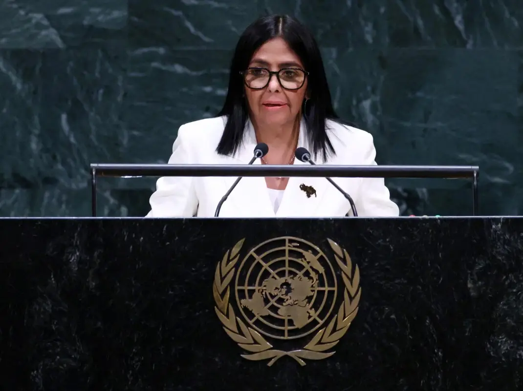)
'There will be elections': Venezuela's interim leader Delcy Rodriguez makes big announcement at UN
)
Would you date an AI? South Korea’s My AI Partner: Strange Love sparks buzz on relationship and intimacy
)
'Arrogant parasites': Milei blasts UN over Falklands dispute, warns Argentina will ‘take matters into our own hands’
)
IIT Bombay CCTV footage emerges: Sahil Wakode seen looking at phone in examination hall
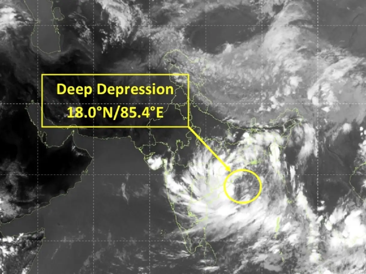)
Cyclone Arnab: Landfall expected before midnight tomorrow as IMD issues orange alerts across six states
)
9 killed, several injured as tourist bus catches fire on Yamuna Expressway
)
NBA player Steven Adams shares hilarious GTA VI theory
)
WION Iconic Tourism Summit 2026: Union Minister Shekhawat on 'experiential travel', peace diplomacy
)
'AI got into my speech': Prince Harry jokes after teleprompter failure at event in New York
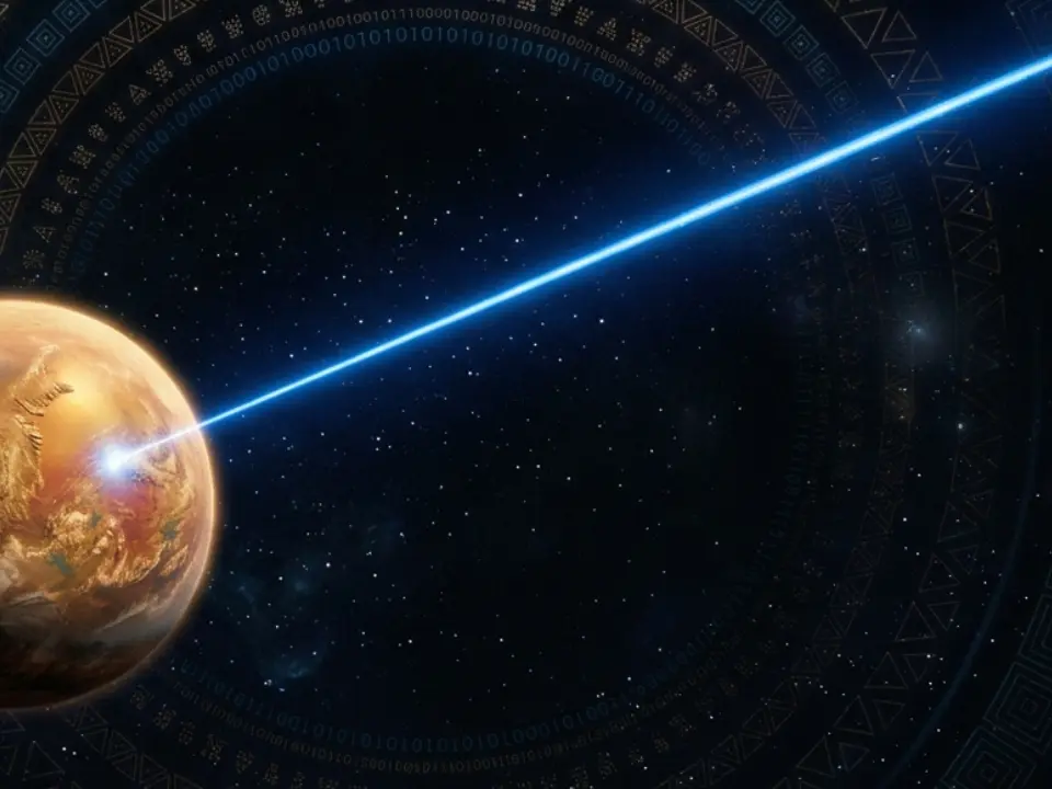)
Scientists detect first radio signals directly from faraway planet
)
China to test supersonic jet that moves at Mach 2, double the speed of sound
)
WION Iconic Tourism Summit: 'Hanuman Ansh' Director on blockbuster success
)
'Partners rather than rivals': Xi Jinping's first message after landing in US for Trump summit
)
WION Iconic Tourism Summit: Is India's travel boom outrunning its airports, airlines and hotels?
)
IIT Bombay student suicide case: CCTV from the exam hall hours before suicide
)
2,000-foot tube, laser tests and more: China builds towns to expand nuclear arsenal, satellite images show
)
French court upholds decision to send PSG and Morocco footballer Hakimi to rape trial
)
WION Iconic Tourism Summit and Awards 2026: Key voices to discuss India’s tourism future
&im=FitAndFill=(700,400))
New OTT releases this week (September 21-27, 2026): Shaque: Trust No One, Hunkkaar, Don’t Be Shy- 5 new titles coming to Netflix, Prime Video and more
)
WATCH | China President Xi Jinping lands in US as Trump greets him ahead of high-stakes summit
)
Australian PM Anthony Albanese calls OpenAI AI incident 'unacceptable' after restricted data access
)
Claude Opus 5.5 is here: Anthropic claims it can finish a 680,000-line code migration in less than a day
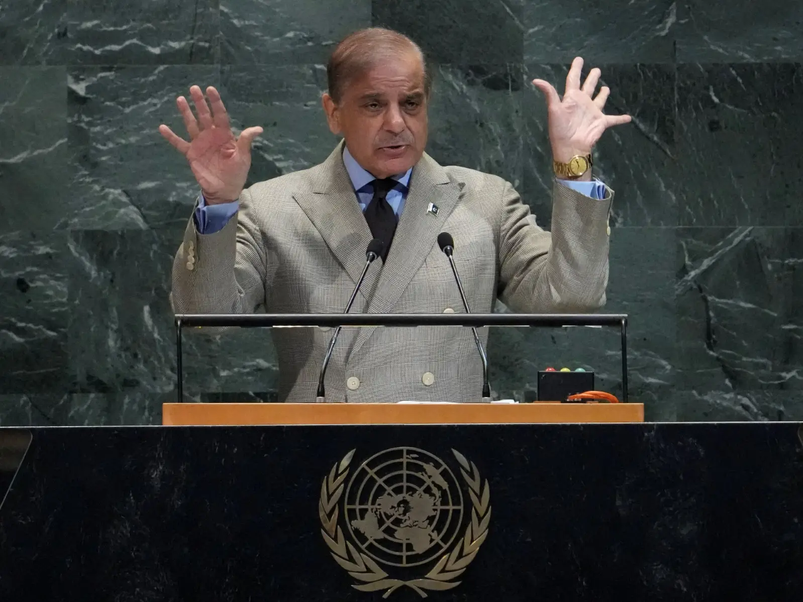)
'What kind of confession is this?': Pakistan PM Shehbaz Sharif’s 'terrorists would be roaming New York' remark goes viral, raises alarm online. Watch
)
WION Iconic Tourism Summit: How local tourism MSMEs must upskill for AI integration
)
Eight USS Abraham Lincoln sailors attempted suicide, Acting Navy Secretary says
)
Trump’s Board of Peace unveils $2.45bn Gaza plan,66 projects: But where’s the money?
)
EC appointment law: Why is the 2023 act controversial, and what happens next? WION explains
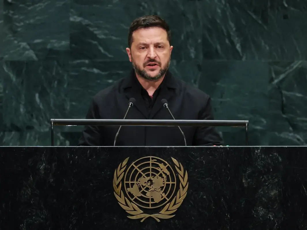)
'Putin is patient zero': Zelensky slams Russian president at UNGA, accuses him of using fighters from 47 countries
&im=FitAndFill=(700,400))
National Film Awards 2026: Kartik Aaryan, Mammootty, Yami Gautam, Randeep Hooda and other key winners
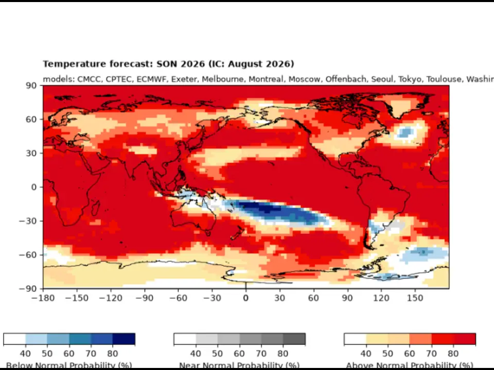)
El Niño 2026 heats up to become strongest in 1,000 years
)
Israeli envoy to US Yechiel Leiter’s son critically injured in West Bank ramming attack
&im=FitAndFill=(700,400))
Trump welcomes Xi Jinping in rare airport gesture: Photos from Chinese President's arrival in US
)
Xi-Trump meeting: China’s human rights red line and past protests explained
As the week progresses, the warning extends to Northern Ireland on Monday (Jan 15), followed by the Arctic air reaching parts of Wales and the Midlands on Tuesday (Jan 16). Wednesday and Thursday bring a 600-mile snow warning, encompassing extensive areas of the UK.
Met Office Deputy Chief Meteorologist Chris Bulmer explained: "Snow showers from Sunday onwards are most likely to move inland from coasts exposed to northerly winds. The focus of snow showers will be over northern Scotland, but parts of the North Sea and Irish Sea coasts may also see some snow at times.
"There are a couple of weather systems for Tuesday and Wednesday which we are keeping an eye on that bring the potential for disruptive snow for some regions. With cold air firmly in place, any weather systems that move across the country next week will bringing mainly snowfall inland. Models are currently showing us a variety of options for both systems and we’ll be able to add more details in the coming days," he adds.
(With inputs from agencies)