
&imwidth=800&imheight=600&format=webp&quality=medium "India’s 80th Independence Day: From 1947 to 2026 - How the country's map changed over 80 years")
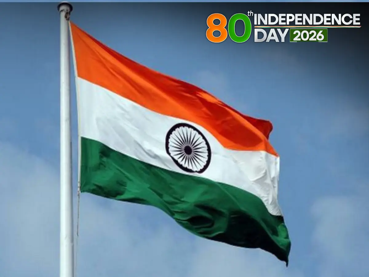
India is all set to celebrate its 80th Independence Day on August 15, 2026, marking eight decades since the country became independent from British rule in 1947. Since Independence, states have been divided, merged and renamed, new states and Union territories have been created, and former princely states and foreign-controlled territories have been integrated into the Indian Union. But the process began even before India became a republic. After Independence on 15 August 1947, the integration of hundreds of princely states, the Partition of British India and the eventual reorganisation of provinces and states transformed the country’s political map.
Some of the changes were driven by language and regional identity. Others were linked to administration, security, insurgency and demands for greater political autonomy. The biggest single overhaul came in 1956 with the States Reorganisation Act. But the process did not end there. India continued to redraw its internal boundaries through the creation of new states and Union territories, with the latest major change coming in 2019 when the erstwhile state of Jammu and Kashmir was reorganised into the Union territories of Jammu and Kashmir and Ladakh.
From princely states to a republic

At Independence, India inherited British-administered provinces alongside more than 500 princely states. The integration of these princely territories into the Indian Union was a gradual process. States including Hyderabad, Junagadh, Manipur, Tripura and Jammu and Kashmir joined the Union through different political and legal processes between 1947 and 1949.
By the time the Constitution came into force on 26 January 1950, India had moved from a dominion to a republic. Its political map was organised into Part A, Part B and Part C states, broadly reflecting former British provinces, former princely states and centrally administered territories.
Trending Stories
)
Mushtaq Khan dies at 56: When Welcome actor opened up about his salary for iconic role Ballu
)
US Supreme Court backs Trump administration's use of SAVE database to check voter citizenship
)
Heart of the Beast review: Brad Pitt leads a gripping tale of survival and loyalty
)
Outrage erupts after 3-year-old is married to 60-year-old man in Pakistan, link to her sister's murder being probed
)
Pakistan deploys over 20,000 security personnel as PTI vows march for Imran Khan's release
)
Asian Games: Shooting spree continues as India win silver in women’s 50m rifle 3P team event
)
‘Not just a local tragedy’: Nepal PM Shah warns UN of growing climate threat, says Nepal floods were 'a warning to the world'
)
OpenAI AI Agents hacked 4 websites before Hugging Face, researchers reveal
)
Pentagon quietly adds 37 wounded troops to Iran war tally without explaining when or how
)
Asian Games 2026: India women’s kabaddi team edge Iran 37-34 to clinch 3rd gold medal
)
Saudi Arabia still harbours intent to develop nuclear weapons, reveals US intelligence: Report
&im=FitAndFill=(700,400))
New Friday OTT releases (September 25, 2026): Don’t Be Shy, Hunkkaar: The Roar, Mango Pachcha- 6 movies and TV shows on Netflix, Prime Video and more
)
Yemen's war escalates: Saudi-backed leader calls for general mobilisation against the Houthis
)
‘Attack on Mecca a red line for Pakistan’: Shehbaz Sharif warns Houthis at UN
)
Tesla is preparing something big for Optimus: new Gen 3 models surface in app
)
Did Hitler kill his niece Geli Raubal? Newly found records reopen a 95-year-old mystery
)
Indian diplomat Petal Gahlot raises deteriorating situation in Pakistan-occupied Kashmir in right of reply at UN
)
Nigeria Navy moves to boost oil security, tackle crude theft and infrastructure threats
)
Scientists detect first radio signals directly from faraway planet
)
‘It is all possible’: Putin weighs next steps on Ukraine talks, rules out Europe conflict
)
10,000 gather in support of 87-year-old forcefully evicted from home of 71 years
)
India flags brutal violence in Pak-occupied Jammu Kashmir
)
Trump rejects Iran's 7-day ceasefire proposal as US weighs renewed bombing after midterms: Report
)
Gaza's war turned environmental damage into second crisis
)
Saudi oil exports surge despite Iran war
)
Trump-Xi summit wrap: Big pageantry, Iran talks, few major developments and more meetings planned
)
'Making history': Xi Jinping praises Trump as US-China leaders dine at White House
)
India's UN Envoy slams Pakistan: 'They claim security by day, terrorism by night'
)
Jay-Z rape case: Accuser says allegations were false, never met rapper
)
Myanmar training camp case: US national, 6 Ukrainians allowed to meet their families abroad
)
Trump-Xi summit: Xi wraps up us visit with 21-gun salute as Trump, Xi lock in 'strategic stability'
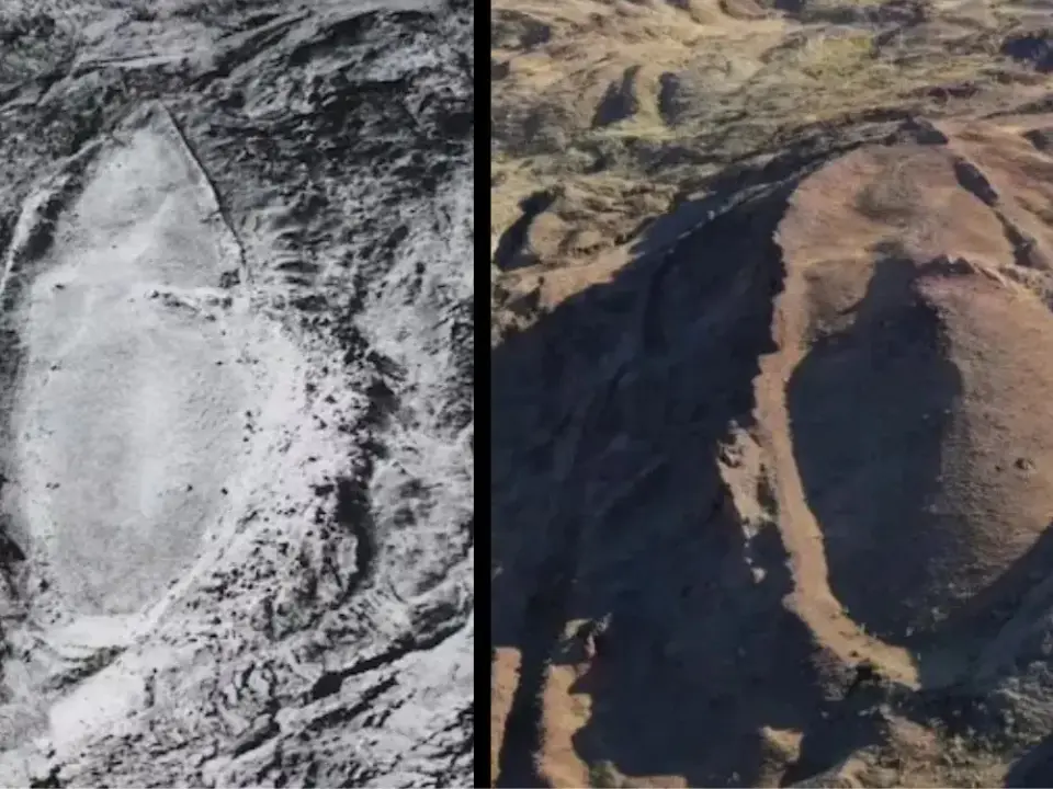)
'FIRST LOOK from inside Noah’s Ark': Researchers share video from inside mysterious mound in Turkey
)
Cindy Crawford’s son Presley Gerber cremated as death probe continues
)
India's insurance regulator overhauls policies
)
WATCH | As Shehbaz Sharif claims Pakistan’s ‘victory’ during 2025 conflict, Indian diplomat R Srinivas laughs at UN
)
‘Goal is to win it’: Virat Kohli confirms 2027 ODI World Cup will be his final tournament for India
)
'A terrorist country is asking me that question?': Jaishankar hits back at Pakistani journalist at UN; flags attacks on commercial shipping
)
US court backs Pentagon's decision to exclude Anthropic over Claude AI restrictions
The arrangement was not intended to remain permanent. Regional identities, particularly linguistic identities, soon became a major force behind demands for new states.
1953: Andhra becomes the turning point
The first major post-Independence linguistic reorganisation came with the creation of Andhra State in 1953. The Andhra State Act, 1953 provided for the formation of Andhra from Telugu-speaking areas of the former Madras State. It came into force on 1 October 1953.
1956: India’s biggest map redraw
The States Reorganisation Act, 1956 marked the most extensive restructuring of India’s internal boundaries. The Act, which came into force on 31 August 1956, reorganised states and territories and was accompanied by the Seventh Constitutional Amendment. The earlier Part A, Part B and Part C classification was effectively replaced by a new structure of states and Union territories.
1960: Bombay is divided
The next major linguistic reorganisation came with the Bombay Reorganisation Act, 1960. The former Bombay State was divided into Maharashtra and Gujarat, following prolonged political movements including the Samyukta Maharashtra movement and the Mahagujarat movement.
1963: Nagaland is carved out
The north-east followed a somewhat different path. The State of Nagaland Act, 1962 provided for the formation of Nagaland as a separate state. It came into force in 1963. The creation of Nagaland was part of efforts to address political demands and unrest in the Naga Hills and surrounding areas.
1966: Punjab is reorganised
Punjab was reorganised in 1966 after years of political mobilisation around the demand for a Punjabi-speaking state. The Punjab Reorganisation Act, 1966, created Haryana and the Union territory of Chandigarh. It also transferred the hill areas of Punjab to Himachal Pradesh.
1970s: The north-east is redrawn
The 1970s brought another major series of changes, particularly in the north-east. The North-Eastern Areas (Reorganisation) Act, 1971 provided for the establishment of Manipur and Tripura as states and the formation of Meghalaya as a state. It also created the Union territories of Mizoram and Arunachal Pradesh out of territories associated with Assam. The changes took effect on 21 January 1972.
The reorganisation was part of a wider effort to respond to the region’s distinct political, ethnic and administrative circumstances. Mizoram and Arunachal Pradesh would later become full-fledged states in 1987.
1975: Sikkim joins India
Sikkim’s place on India’s political map changed fundamentally in 1975. Until then, Sikkim had a special relationship with India as a protectorate. Following political developments and a referendum, it became a state of India in 1975.
1987: Three more states emerge
The next major wave of statehood came in 1987. Mizoram and Arunachal Pradesh, which had earlier been Union territories, became states. Goa also became a state, while Daman and Diu continued as a separate Union territory. The Goa, Daman and Diu Reorganisation Act, 1987 specifically provided for the formation of Goa as a state and Daman and Diu as a Union territory.
2000: Three states in one year
The map changed again at the turn of the millennium.
In 2000, three new states were created from existing states:
- Jharkhand was carved out of Bihar.
- Chhattisgarh was carved out of Madhya Pradesh.
- Uttarakhand was carved out of Uttar Pradesh.
Parliament passed separate reorganisation laws for Bihar, Madhya Pradesh and Uttar Pradesh in August 2000.
2014: Telangana becomes India’s newest state
The next state to be created was Telangana. The Andhra Pradesh Reorganisation Act, 2014 reorganised the existing state of Andhra Pradesh and provided for the formation of Telangana. The Act came into force on 2 June 2014.
2019: Jammu and Kashmir becomes two Union territories
The most consequential recent change came in 2019. The Jammu and Kashmir Reorganisation Act, 2019 reorganised the erstwhile state of Jammu and Kashmir into two Union territories, Jammu and Kashmir and Ladakh. The legislation received assent on 9 August 2019, with the reorganisation taking effect on 31 October 2019.
Unlike most earlier reorganisations, this change reduced a state to Union territory status while simultaneously creating two separate administrative units.
At present, India has 28 states and 8 union territories.

