&imwidth=800&imheight=600&format=webp&quality=medium "US freeze warning: Polar vortex is driving down temperatures in central and northern America. Predictions, warnings")
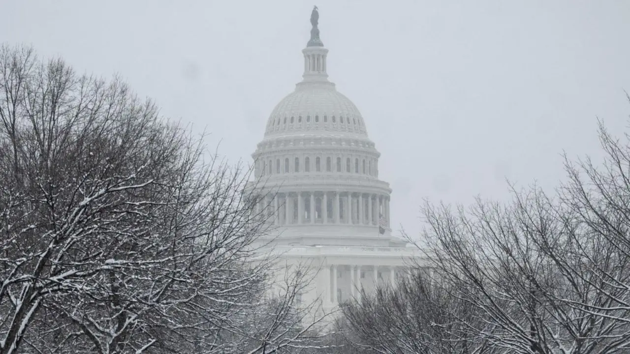
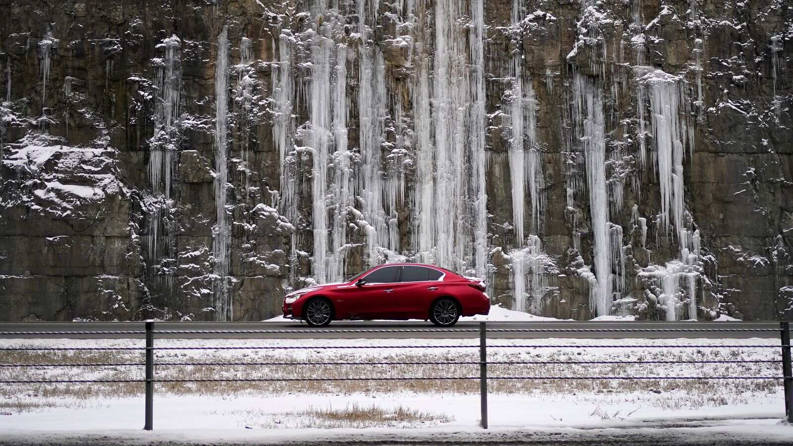
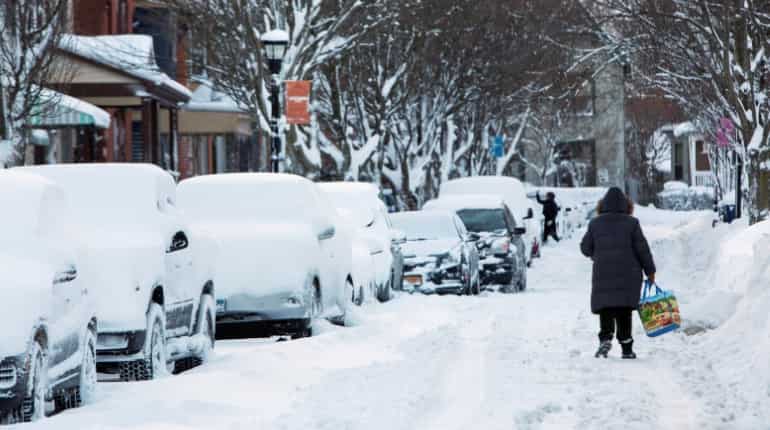
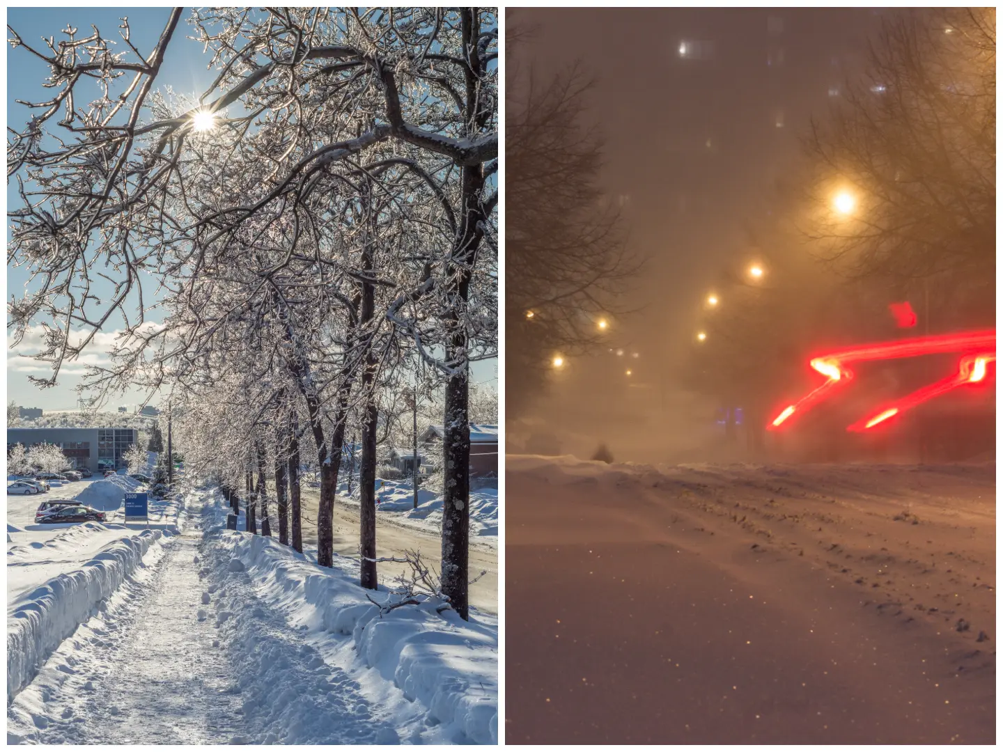
An ongoing Arctic blast caused by ruptures in the Polar Vortex is causing sub-freeze temperatures across the central and northeastern US. This is one of the most intense early‑winters in recent years. Millions of Americans could be affected in this cold snap, especially in areas unaccustomed to such early deep winter cold as Arctic air surges may push farther south than usual. Record low temperatures have been witnessed in Iowa, Michigan, and New York, with readings as low as –28°C in some northern areas.
US braces for early cold surge
The National Weather Service (NWS) forecasts another intense Arctic air influx in the Northeast, including New York, Pennsylvania, and New England, with daytime highs in the –6°C range (20s°F) from 12 to 17 December. Overnight temperatures could fall to –12°C (10°F) or below in some areas.

Southern US might see cold snap too
Frost or freeze conditions are expected to extend as far south as central Florida. Citrus growers and other farmers have been advised to protect their crops, including covering sensitive plants. This marks the second or third significant Arctic intrusion in the Midwest and eastern US this season.
Freeze warnings in California and Arizona
Trending Stories
)
Emmys 2026: Matthew Rhys wins Best Actor twice, sets historic 78-year record
)
3 Italians fly from Delhi to Munich without immigration clearance; Air India gets notice on major security lapse
)
Ex-CIA official David Rush nears plea deal in $40 million gold bar theft case
)
Pakistan puts Pak Rs 70 lakh bounty on UN terrorist Masood Azhar; move draws skepticism in Delhi
)
‘US ensuring global energy supplies’: Trump demands reimbursement for securing Strait of Hormuz
)
'She married her brother': Ilhan Omar faces criminal probe over immigration fraud claims
)
Ukraine strikes Syzran Oil Refinery deep inside Russia, fires erupt
)
Emmy Awards 2026: Widow's Bay and The Pitt win in lead categories- check out the complete list of winners
)
Indian-origin woman, Nepali-American friend crushed to death by subway train in New York
)
Emmys 2026: Michael J Fox honoured with Bob Hope Humanitarian Award for Parkinson’s advocacy
)
Emmys 2026 In Memoriam: Catherine O’Hara honoured by on-screen children Macaulay Culkin, Annie Murphy, Dan Levy; Dolly Parton, Rob Reiner remembered
)
Iran, India agree to deepen humanitarian and political ties, President Pezeshkian says
)
'Definitely feel bad for yourself': Kuldeep Yadav opens up on India Test snubs
&im=FitAndFill=(700,400))
Emmys 2026 Red Carpet: Zendaya, Nicole Kidman and Julia Garner lead the glamour peak
)
Turkish Airlines plane flies through a storm three times, triggering severe turbulence
)
China's property crisis deepens as investment plunges nearly 20%
)
What is Hyrox, in news for athlete who soiled herself, but kept running and using common equipment?
)
Russia proposes to build 360 kmph Ivolga FG trains in India: What happened on sidelines of BRICS
)
800 million years old - Scientists discover 'fingerprints' of supercontinent Gondwana in ancient rocks
)
Former Pak PM Imran Khan's ex-wife Jemima Goldsmith marries Australian financier: Who is Cameron O'Reilly
)
UPI payments up to Rs 2,000 to stays free, but bigger transactions may soon cost you: Govt
)
Gurugram hit and run case: Police arrest car driver Kalyan Bainsla, book him for attempt to murder
&im=FitAndFill=(700,400))
New OTT releases this week (September 14-20, 2026): Lust Stories 3, Waiting Hai, Irumudi- 5 new titles coming on Netflix, Prime Video and more
)
Sent home midway from UK tour, Pakistan's Salman Agha hits 300* in domestic return
)
Who is Kalyan Bainsla, accused in the Gurugram hit-and-run case involving woman biker?
)
Nigerian Navy seizes 10,000 litres of suspected illegal fuel in Rivers State crackdown
)
Saudi Arabia discovers 110 million tonnes of Uranium-rich ore in Madinah region
)
Dodgers beat Reds for playoff berth in bid for third consecutive World Series
)
Ecstasy tablets are rage in 'drug haven' Libya | Gravitas
)
'Now Trump is copying us': Shivakumar links US $5,000 plan to Congress guarantees
)
Video of Pakistani lawmaker struggling to read English tribute to Jinnah goes viral - WATCH
)
Trump downplays China's alleged 'help' to Iran in strike on Jordan base | Gravitas
)
Trump loses Supreme Court battle over mail ballots ahead of US midterms: What happened?
)
BCCI VP Rajeev Shukla says Mohsin Naqvi 'did not object' India refusing trophy from ACC chief
)
Legendary costume designer Bob Mackie dies at 87: A look back at his iconic legacy
)
Delhi govt to roll out ₹13,820 crore development projects under Seva Sankalp Abhiyan: CM Rekha Gupta
)
UK man admits drugging, raping wife for 20 years in shocking abuse case
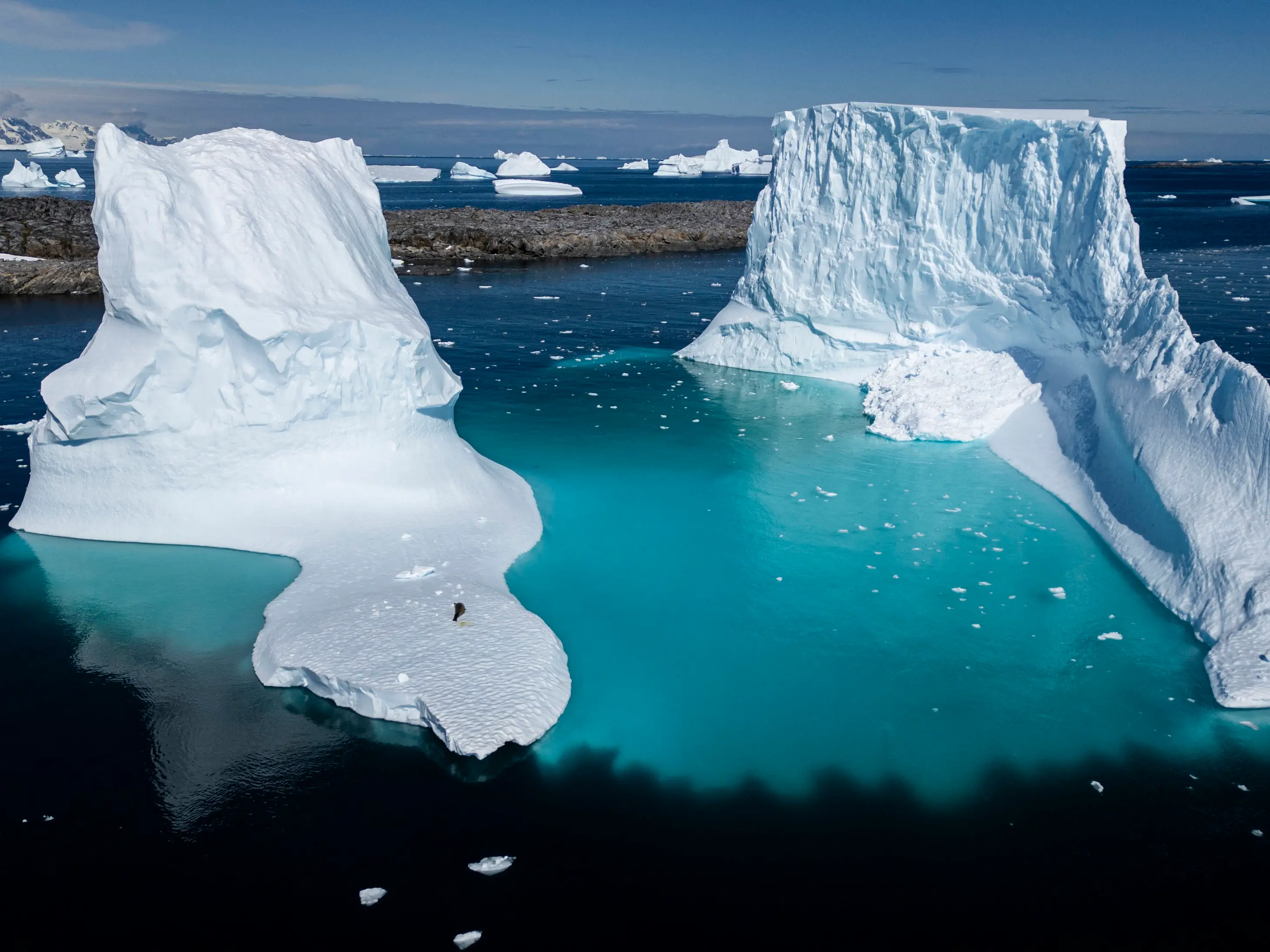)
Extreme warming in Indian Ocean added 695 billion tons of ice to Antarctica ice sheet
)
Shah Rukh Khan confirms release date of his next KING, reveals makers working on the asset
)
China thinned Himalayan troop presence in 2025, India defence report says; terms border situation 'stable'
Warnings in western states have been active since earlier in the week. Valleys of San Luis Obispo County have seen temperatures below –2°C (28°F), while areas east of Phoenix, Arizona experienced lows around –4°C (mid-20s°F).
Extreme Cold Alert in Alaska
Prolonged freeze could last several days, with freezing winds around –45°C (–50°F) expected in Skagway and higher elevations along the Klondike Highway. There's significant risks of frostbite, hypothermia, and frozen pipes.
Georgia braces for multi-day freezes
In the Southeast, Georgia officials have advised pipe insulation, sheltering pets, covering plants, and welfare checks on the elderly amid possible multi-day cold snap. Northern Florida may also face unusually cold conditions.
Snow risk in Midwest and East Coast
Snow and freezing rain are occurring from the Dakotas to the Great Lakes, with the NWS warning of travel disruptions and slippery untreated surfaces.
Polar vortex outlook: Why is it so cold in US?
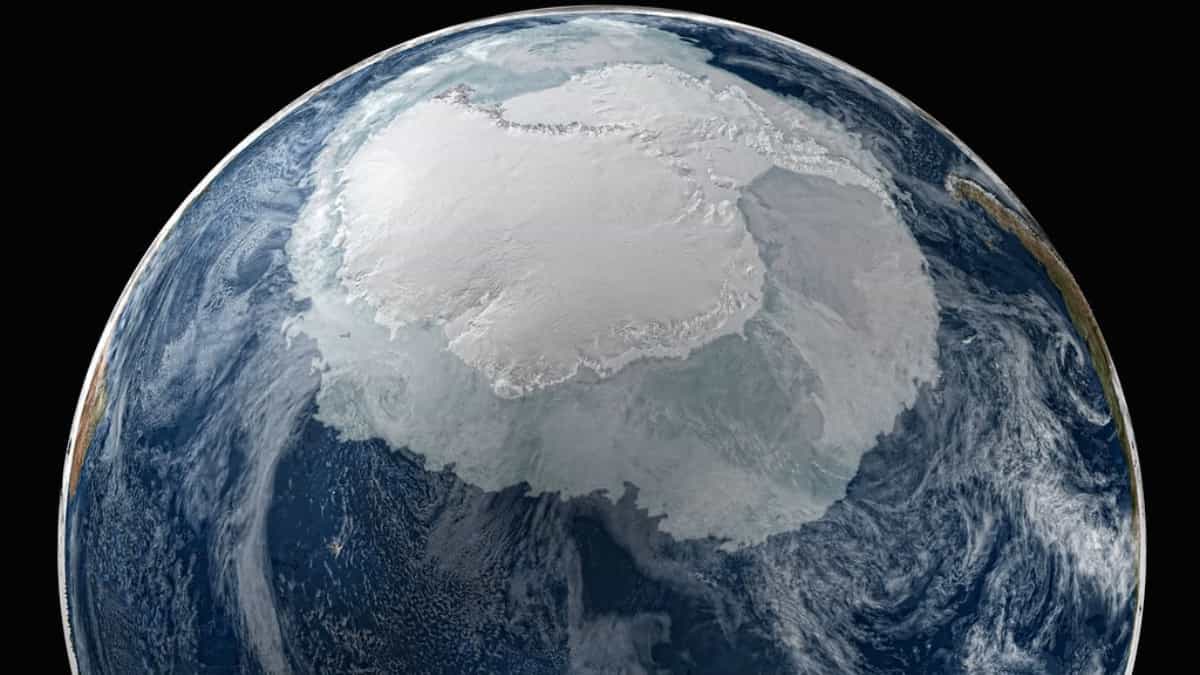
A split in, or weakening of, Polar Vortex - the large area of cold air that spins around Earth's pole and strengthens during winter - is leading frigid Arctic air, which is usually confined near the pole, to move into Canada and then into the US mid‑west, Great Lakes, Northeast and beyond.
Multiple waves of these Arctic blasts may continue through mid‑December, possibly pushing freeze/frost conditions even far southward.
The polar vortex disruption is expected to produce up to three or more rounds of bitter cold through 19 December, originating from central Canada. Each surge may bring widespread sub-zero temperatures, frost, and potential damage to crops and infrastructure across the central and eastern US.