
&imwidth=800&imheight=600&format=webp&quality=medium "Tropical Cyclone Narelle is Cat 5: Australia's Queensland coast braces for once-in-100-year event")
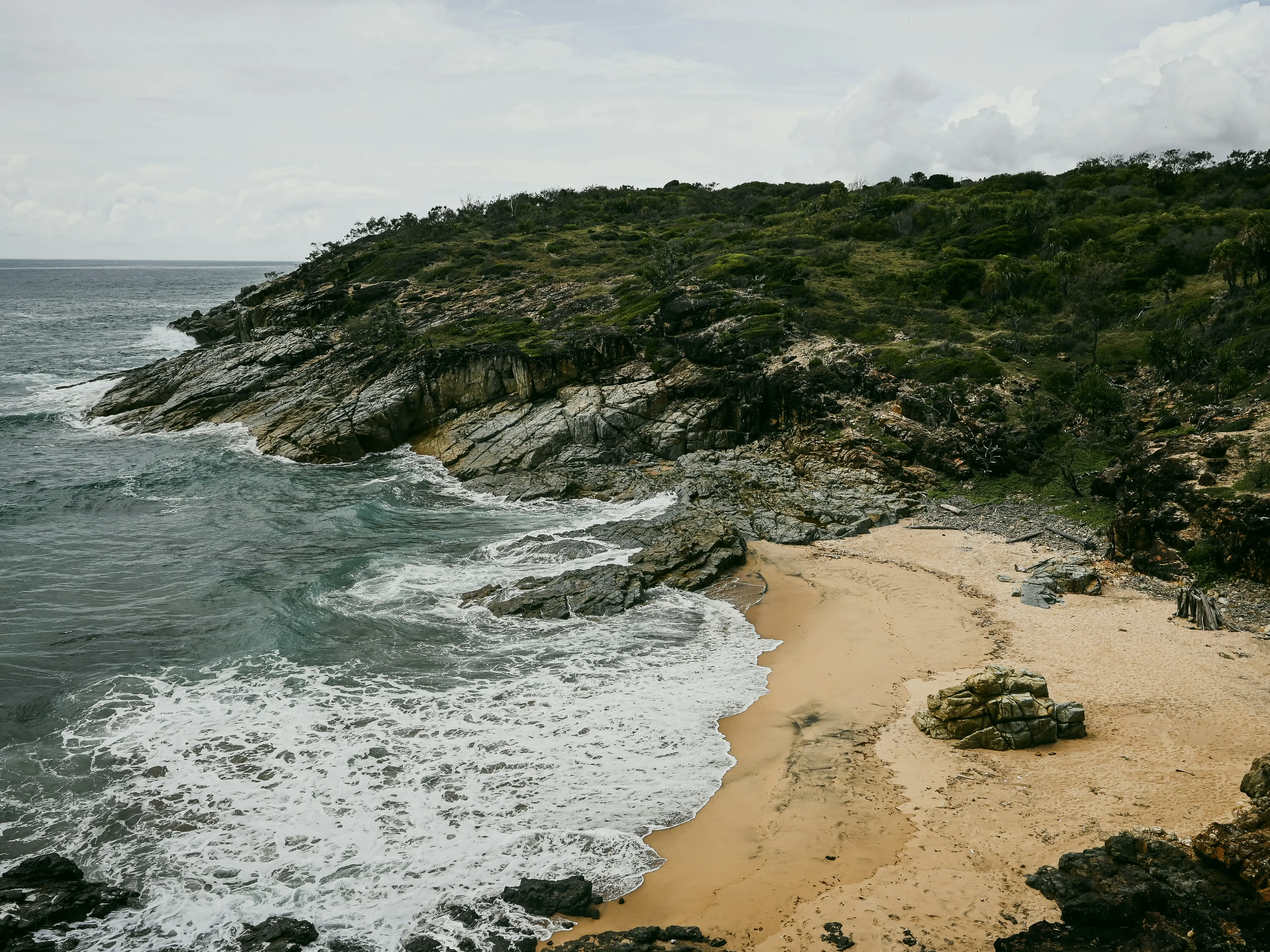
Tropical Cyclone Narelle has strengthened into a Category 5 storm and could lash the Queensland coast. Experts are calling it a "serious" event that has barely been witnessed in the past decades. If Narelle crosses the Queensland coast, it will only be the fourth time it has happened in 50 years. If the storm crosses over the coast between Lockhart River and Cooktown, it will be the first time in over 100 years, Queensland Premier David Crisafulli said. The Category 5 storm is expected to cross the coast Friday morning, with intense rainfall and strong winds lashing the coastal regions. This will create a risk of flash flooding in the region. Narelle has been tracked moving towards the coast between Lockhart River and Cooktown. Crisafulli said preparations are being made to weather the storm, and people have been warned to take precautions. "It's a serious event, a significant event, and we're asking people to take precautions and do the little things that make all the difference," Nine News quoted the Premier as saying.
Tropical Cyclone Narelle path
According to the Bureau of Meteorology, wind gusts will reach in excess of 225km/hr. Cape Tribulation to Lockhart River and inland to the western side of the Cape form the cyclone zone with warnings in place. Crisafulli said that the storm is expected to weaken as it crosses over. However, "it still has the potential to have some serious winds as it goes across those communities all the way across." After crossing over Cape York Peninsula as a tropical cyclone, it will move west across the Gulf of Carpentaria. It will then reach the eastern Northern Territory over the weekend, and is likely to once again strengthen into a severe tropical cyclone. Narelle is forecast to reintensify off the Kimberley coast next week and will then shift into the Indian Ocean.

About Tropical Cyclone Narelle - A very compact cyclone
Tropical Cyclone Narelle formed in the Coral Sea. The storm has been fuelled by the high sea surface temperatures in the northwest Coral Sea, which are currently 0.5–1.0°C above average. It is moving towards Cape York at a rapid speed of 26km per hour. Experts say Narelle is a very compact cyclone, meaning it has a small area of intense winds around its centre. Because of this, hurricane-force winds only extend 50km from its centre.
Trending Stories
)
Asian Games 2026: India face Afghanistan in quarterfinal on Sep 28; Pakistan clash with Hong Kong
)
Myanmar training camp case: US national, 6 Ukrainians allowed to meet their families abroad
)
Bigg Boss 20: Salman Khan schools Rhiti Tiwari over Qazi Touqeer clash, compares her to Dolly Bindra
)
Mushtaq Khan dies at 56: When Welcome actor opened up about his salary for iconic role Ballu
)
LPU students go on rampage, vandalise campus amid widespread protest: What's happening
)
'FIRST LOOK from inside Noah’s Ark': Researchers share video from inside mysterious mound in Turkey
)
‘Attack on Mecca a red line for Pakistan’: Shehbaz Sharif warns Houthis at UN
)
Pakistan deploys over 20,000 security personnel as PTI vows march for Imran Khan's release
)
OpenAI AI Agents hacked 4 websites before Hugging Face, researchers reveal
)
'A terrorist country is asking me that question?': Jaishankar hits back at Pakistani journalist at UN; flags attacks on commercial shipping
)
Trump-Xi summit wrap: Big pageantry, Iran talks, few major developments and more meetings planned
)
Did Hitler kill his niece Geli Raubal? Newly found records reopen a 95-year-old mystery
)
Hawaii braces for Hurricane Nolo: NOAA warns of flash flooding and mudslides
)
'What kind of confession is this?': Pakistan PM Shehbaz Sharif’s 'terrorists would be roaming New York' remark goes viral, raises alarm online. Watch
)
US-Iran war: Trump rejects Iran's Hormuz proposal, reports suggest talks expected next week
)
Bollywood x K-pop crossover! LE SSERAFIM’s Kazuha charms fans with Shah Rukh Khan’s ‘Chammak Challo’ steps
)
Gaza's war turned environmental damage into second crisis
)
‘Serial practitioner of terrorism’: Jaishankar calls out Pakistan’s ‘state-sponsored’ terror at UNGA
)
‘It is all possible’: Putin weighs next steps on Ukraine talks, rules out Europe conflict
)
Prince Harry offers rare glimpse into Archie and Lilibet’s life after UK move
)
Nigeria Navy moves to boost oil security, tackle crude theft and infrastructure threats
)
Donald Trump shares image of Xi's arrival in Washington, carries signs of AI
)
Pentagon quietly adds 37 wounded troops to Iran war tally without explaining when or how
)
US court backs Pentagon's decision to exclude Anthropic over Claude AI restrictions
)
US Supreme Court backs Trump administration's use of SAVE database to check voter citizenship
)
‘Could kill billions...’: Bill Gates backs calls to slow AI development amid fears of catastrophe
)
'Countries far from conflict are penalised': Jaishankar calls for Gulf peace, seafarer safety at UN
)
WATCH | As Shehbaz Sharif claims Pakistan’s ‘victory’ during 2025 conflict, Indian diplomat R Srinivas laughs at UN
)
Outrage erupts after 3-year-old is married to 60-year-old man in Pakistan, link to her sister's murder being probed
&im=FitAndFill=(700,400))
New Friday OTT releases (September 25, 2026): Don’t Be Shy, Hunkkaar: The Roar, Mango Pachcha- 6 movies and TV shows on Netflix, Prime Video and more
)
Global community 'absent' in Gulf crisis: Saudi at UN calls for freedom of navigation, pre war status for Hormuz
)
Farhan, who went viral for AK47 celebration vs India in Asia Cup, hopes to lead Pakistan beyond Asian Games
)
‘I rejected it’: Trump confirms turning down Iran’s proposal to reopen Hormuz, claims Tehran is losing ‘badly’
)
Russia will achieve Ukraine war aims; Europe doing everything to block peace talks: Lavrov at UN
The same area of Queensland was struck by Cyclone Mahina in March 1899, which is considered the deadliest tropical cyclone in the recorded history of the country. It is also considered potentially the most intense tropical cyclone ever recorded globally.

