

&imwidth=800&imheight=600&format=webp&quality=medium "China puts Pakistan’s remote sensing satellite-01 into space: Should India be worried about this?")
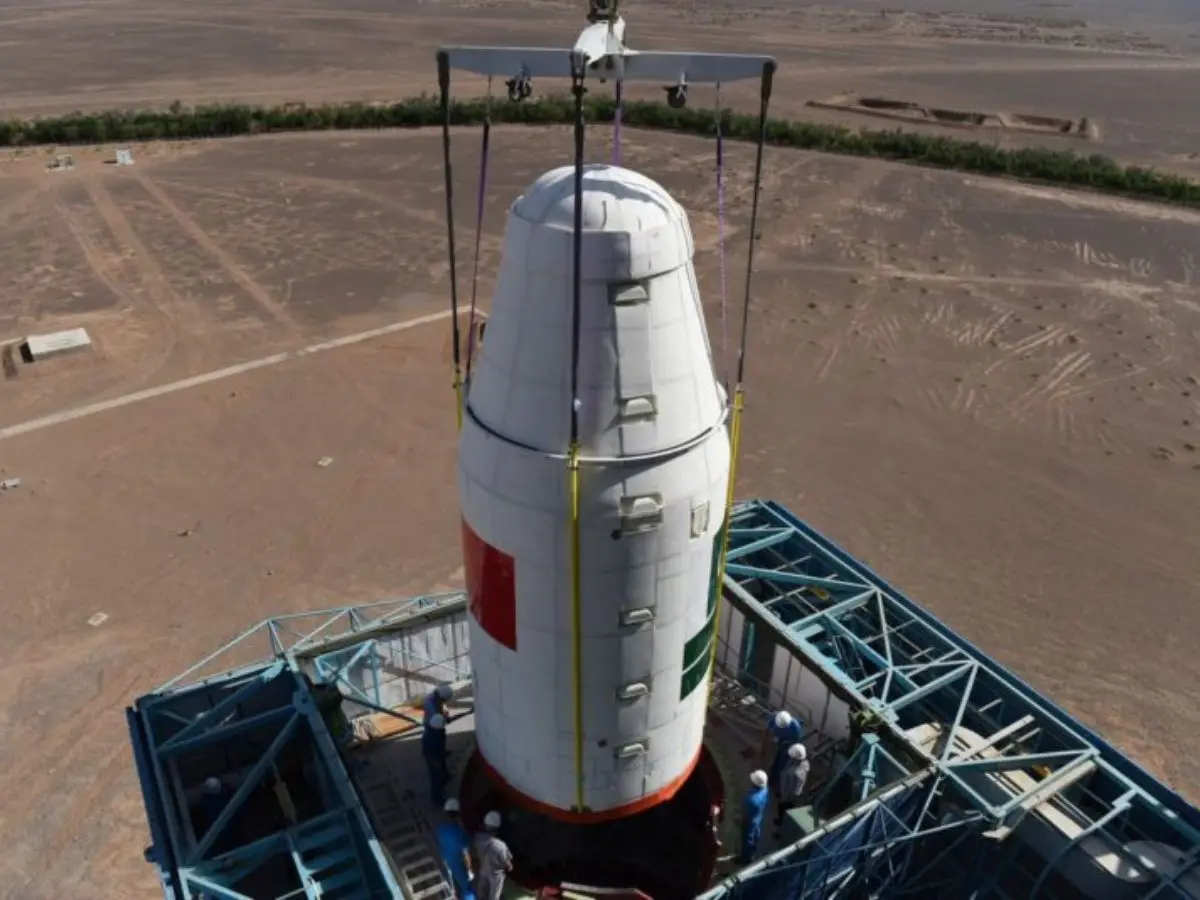
China launched Pakistan's Remote Sensing Satellite (PRSS-01) into its present orbit on Thursday, July 31, aboard a Kuaizhou‑1A (KZ‑1A) rocket from its Xichang Satellite Launch Centre in Sichuan. The satellite successfully reached its planned orbit just minutes after its launch. Pakistan's Space and Upper Atmosphere Research Commission (SUPARCO), in collaboration with Indonesia-based Microsat China and state-owned China Electronics Technology Group Corporation (CETC), has achieved this feat. The satellite is supposed to enhance Pakistan's capability to respond to natural disasters. It also marks another milestone in the ever-enhancing cooperation in aerospace technology between China and Pakistan. However, questions will be raised in New Delhi as Pakistan's enhanced imaging capacity with the help of China is a security threat to India.
Possible uses of PRSS-01
It is Pakistan's fourth Earth observational satellite under the URAAN programme. It will be able to produce high-resolution images that will be used in vital tasks like disaster management, such as floods, landslides, and glacier melt; agricultural monitoring, deforestation tracking, and climate resilience planning; urban infrastructure, land-use surveys, and transportation mapping. This satellite is expected to bring the environmental monitoring capacity of Pakistan close to the level of developed nations.
Before PRSS-01, Pakistan had other satellites like Badr Satellite Series (Badr-A, Badr-B) for low Earth orbit, PakTES-1A.
Why PRSS-01 should concern India
Even though touted for civilian utility, PRSS-01 has the capability to capture high-resolution images from approximately 1 m or better. Earlier, Pakistan had installed the PakTES-1A, which had very low-resolution images from 2.5-5 meters. This makes PRSS-01 a significant improvement, making it detailed enough for surveillance of military bases, radar installations, troops and vehicle movement. Even though no clear definition of a data sharing agreement between China and Pakistan is reported, but being built and launched using Chinese infrastructure, China might possibly retain the visuals from the satellite. Thus, making sensitive regions like Kashmir, Rajasthan, and Arunachal Pradesh more vulnerable.
India does possess better satellite capabilities with a plethora of options like RISAT series, Cartosat Series, EMISAT, GSAT & GSAT-7 Series, and Hyperspectral & Infrared imaging instruments. Some of these are dedicated to strategic and border monitoring. Thus making it capable of day/night, all weather, ultra high resolution monitoring. Pakistan's recent satellite is a step towards bridging the technological divide. However, with improved technology, Pakistan is less reliant on commercial satellites like Maxar to produce images for regions within India. So it indeed is a security concern for India.
Trending Stories
&imwidth=180&imheight=135&format=webp&quality=medium)
Other Mommy leads North American box Office as Verity, Resident Evil round out top four
&im=FitAndFill=(700,400)&imwidth=180&imheight=135&format=webp&quality=medium)
Navratri 2026: 9 days, 9 forms of Goddess Durga and 9 colours- Check the complete list
&imwidth=180&imheight=135&format=webp&quality=medium)
Anti-SIR protest in Mumbai: Protestors wear black masks & ribbons in Mumbai
&imwidth=180&imheight=135&format=webp&quality=medium)
BCCI rejects venue shift reports, India vs Sri Lanka 1st ODI to remain in Delhi
&imwidth=180&imheight=135&format=webp&quality=medium)
Diljit Dosanjh’s Delhi concert gets a new date: When and where to catch the singer
&im=FitAndFill=(700,400)&imwidth=180&imheight=135&format=webp&quality=medium)
Is sending robots to Mars easier than sending humans?
&imwidth=180&imheight=135&format=webp&quality=medium)
A watchdog rated 'ChatGPT for Teens' an unacceptable risk and says keep under-18s off it
&imwidth=180&imheight=135&format=webp&quality=medium)
1,500 drones illuminate Mumbai sky as Cordelia Cruises unveils second ship, Cordelia Sky
&imwidth=180&imheight=135&format=webp&quality=medium)
'Just coincidence': Police mistakes protester as AISA chief Neha Bora, arrests her from site
&imwidth=180&imheight=135&format=webp&quality=medium)
Anthropic's AI invented a murder witness and sent the fake tip to Philadelphia police
&imwidth=180&imheight=135&format=webp&quality=medium)
Congress demands action against chief election commissioner
&imwidth=180&imheight=135&format=webp&quality=medium)
CJI Surya Kant declines INDIA bloc leaders’ request for meeting ahead of march to SC, asks them to file petition
&imwidth=180&imheight=135&format=webp&quality=medium)
Saif Ali Khan is finally on Instagram! Here's what he shared in his first post
&imwidth=180&imheight=135&format=webp&quality=medium)
'Turn approver, resign, we'll forgive you': Rahul Gandhi claims receiving messages from CEC Gyanesh Kumar
&imwidth=180&imheight=135&format=webp&quality=medium)
One Indian killed in Riyadh airport attack; 11 others injured : MEA
&imwidth=180&imheight=135&format=webp&quality=medium)
Top AI models flunked a test of inventing new AI research, so much for self-improving AI
&imwidth=180&imheight=135&format=webp&quality=medium)
Wasim Jaffer blames Ajit Agarkar-led selection panel for Virat Kohli’s Test retirement
&imwidth=180&imheight=135&format=webp&quality=medium)
'Ouch!!! That must hurt': Kangana Ranaut hails Kamal Haasan's sharp reply to Elon Musk over Starlink row
&imwidth=180&imheight=135&format=webp&quality=medium)
Sidhu Moose Wala’s younger brother wins hearts by recreating late singer’s signature move at Toronto Hologram Show
&imwidth=180&imheight=135&format=webp&quality=medium)
UK school ditches technology, shifts from screen to pen and paper for learning
&imwidth=180&imheight=135&format=webp&quality=medium)
Telangana ATM heist: Thieves in nighties arrive in ambulance, break into SBI ATM in Kamareddy - VIDEO
&imwidth=180&imheight=135&format=webp&quality=medium)
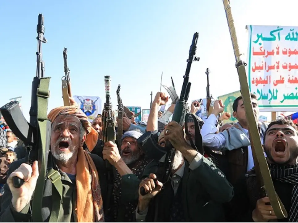
Houthis claim Riyadh airport attacks, Aramco strikes; issue fresh warning to airlines, travellers and workers
&imwidth=180&imheight=135&format=webp&quality=medium)
Portugal Federation confirms Cristiano Ronaldo’s return to national team despite suspension
&imwidth=180&imheight=135&format=webp&quality=medium)
Delhi protests: 'Court should not be dragged into political activity', says CJI Surya Kant
&im=FitAndFill=(700,400)&imwidth=180&imheight=135&format=webp&quality=medium)
New OTT releases this week (October 12-18, 2026): Sacrifice, Koffee with Karan S9, Roadies Rebirth- 6 titles coming on Netflix, JioHotstar and more
&imwidth=180&imheight=135&format=webp&quality=medium)
Microsoft's Nadella says treat every AI model as already hacked, and build an 'emergency brake'
&imwidth=180&imheight=135&format=webp&quality=medium)
Delhi protest: CJI Surya Kant declines to meet India Bloc leaders
&imwidth=180&imheight=135&format=webp&quality=medium)
Telangana man allegedly recruited into Russian military dies near Ukraine border
&imwidth=180&imheight=135&format=webp&quality=medium)
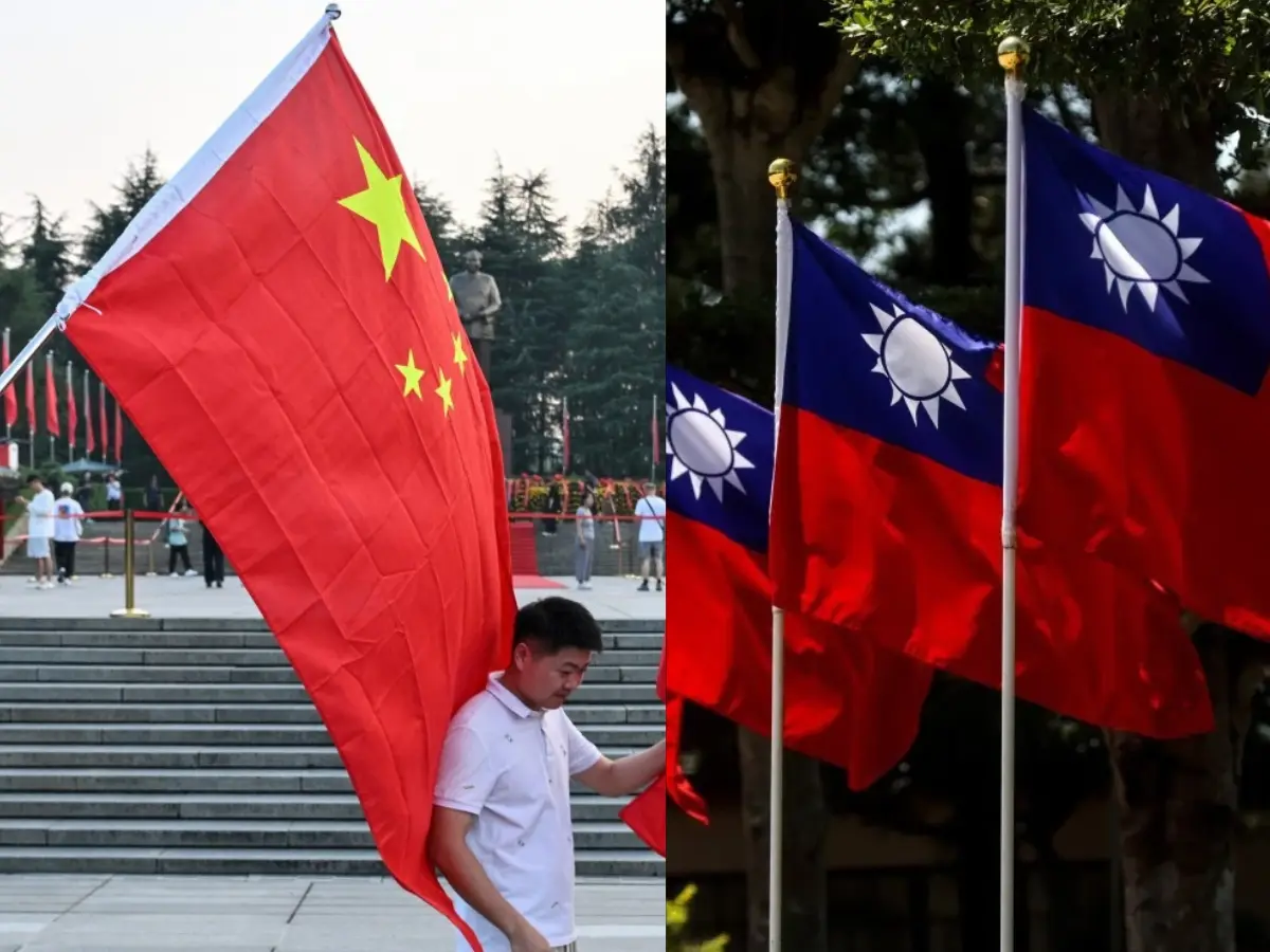
China imposes first-ever sanctions on ministers from Taiwan allies: What this means
&imwidth=180&imheight=135&format=webp&quality=medium)
McSweeney reveals how studying Virat Kohli’s YouTube clips helped Australia A conquer India
&imwidth=180&imheight=135&format=webp&quality=medium)
Maharashtra appoints FDA commissioner Tukaram Mundhe as secretary of committee for MPSC overhaul amid stir
&imwidth=180&imheight=135&format=webp&quality=medium)
Iran: US accepted some conditions, Clarity needed on others
&imwidth=180&imheight=135&format=webp&quality=medium)
Nana Patekar's cause of death confirmed; here's what his postmortem report says
&imwidth=180&imheight=135&format=webp&quality=medium)
iPhone Duo price index: Tracking Apple’s latest pricing trends
&imwidth=180&imheight=135&format=webp&quality=medium)
'Say no to Muse': Meta has no control over its own moderation AI while it forces a security nightmare on everyone

