Google Earth will soon let you 'time travel' and go back 80 years


Google Earth
Google is planning to let people time travel way back to the 1930s. The search engine is set to bring in some new updates to its satellite imagery platform Google Earth. Using the new features, you can go as far back as 80 years and view satellite and aerial images from that time period.
Right now, Google Earth lets people see images of most locations till just a few decades ago. In a statement about the update, Google said that with the new update some cities, like London, Berlin, Warsaw and Paris, will have imagery dating back to the 1930s. Basically, the time frame for most places will be doubled, letting people "time travel" and see what they used to look like.
Users can even make a side-by-side comparison of the cities and watch how they have changed over the years.

In the announcement, Google shared pictures of what San Francisco was like in 1938 and what it is today in 2024, drawing comparisons between the two and seeing how much the geography of the region has changed.
The sample photo shows how in 1938, the ports in San Francisco were used mainly for shipping. However, the place is now filled with restaurants and cruise ships, as per the latest Google Earth picture provided by Google.
Users can access the new Google Earth feature on both mobile and web. The updates are expected to be rolled out in the coming weeks.
)
Putin's United Russia party wins 355 seats in Duma election; 4 other parties cross threshold to enter parliament
)
Delhi Air pollution: Strict crackdown on waste burning
)
‘0% chance’: Nvidia CEO Jensen Huang dismisses AI extinction fears by 2030
)
Samay Raina-Mukesh Chhabra controversy explained: What happened over girlfriend joke on India's Got Latent?
)
Trump's helipad event overshadowed by audio failure as major TV networks suspend pool coverage
)
Russia-Ukraine war: Russian strikes knock out three of Ukraine's largest steel plants
)
'Needs time away from the international scene': England white-ball captain Brook on pacer Brydon Carse's future
)
Glitch in the matrix caught on camera: Woman vanishes after talking to reporter
)
Anti-AI activists storm summit, say 'incompetent' leaders are leading us into a disaster - 'We need a vote'
)
Samsung raises Galaxy S26 prices by Rs 20,000: Here’s what each model now costs
)
IIT Bombay tensions ease after three-hour open house; director’s assurances pacify students
)
J&K Assembly Session begins amid chaos: BJP, ruling alliance clash as statehood demand dominates
)
Shah Rukh Khan visits Lalbaugcha Raja with wife Gauri Khan and daughter Suhana
)
Bessent meets China’s He Lifeng to prepare for Trump-Xi summit
)
US and China vie for AI dominance as calls grow for regulation | Gravitas
)
FIFA chief Infantino wants to reform governing body with consultation from federations
)
The Verdict | The Mecca Agreement is under scrutiny as Houthis attack Saudis
)
India at UNGA81: Jaishankar warns global order under 'growing stress', pushes for ‘reformed multilateralism’
)
Saudi Arabia exits China-led mBridge digital currency platform amid Saudi-Houthi conflict
)
'Lot of things to learn from experienced players': Jayasuriya backs Rohit, Virat for 2027 ODI World Cup
)
$110 billion Warner Bros merger: Paramount reaches settlement with 12 US states
)
Mahabharat actor Saurav Gurjar arrested in Hyderabad, sent to 14-day judicial custody in sexual exploitation case
&im=FitAndFill=(700,400))
New OTT releases this week (September 21-27, 2026): Shaque: Trust No One, Hunkkaar, Don’t Be Shy- 5 new titles coming to Netflix, Prime Video and more
)
From ‘communist’ to ‘great mayor’: Trump praises Mamdani after New York meeting, discusses immigration and housing
)
Report: Zelensky meets CIA chief Ratcliffe at Shannon airport, weeks after his secret Moscow trip
)
WATCH | Mysterious lights over Tehran caught on video. Drone, aircraft or something else?
)
How Zaheer Khan came to be CSK's head coach of IPL 2027
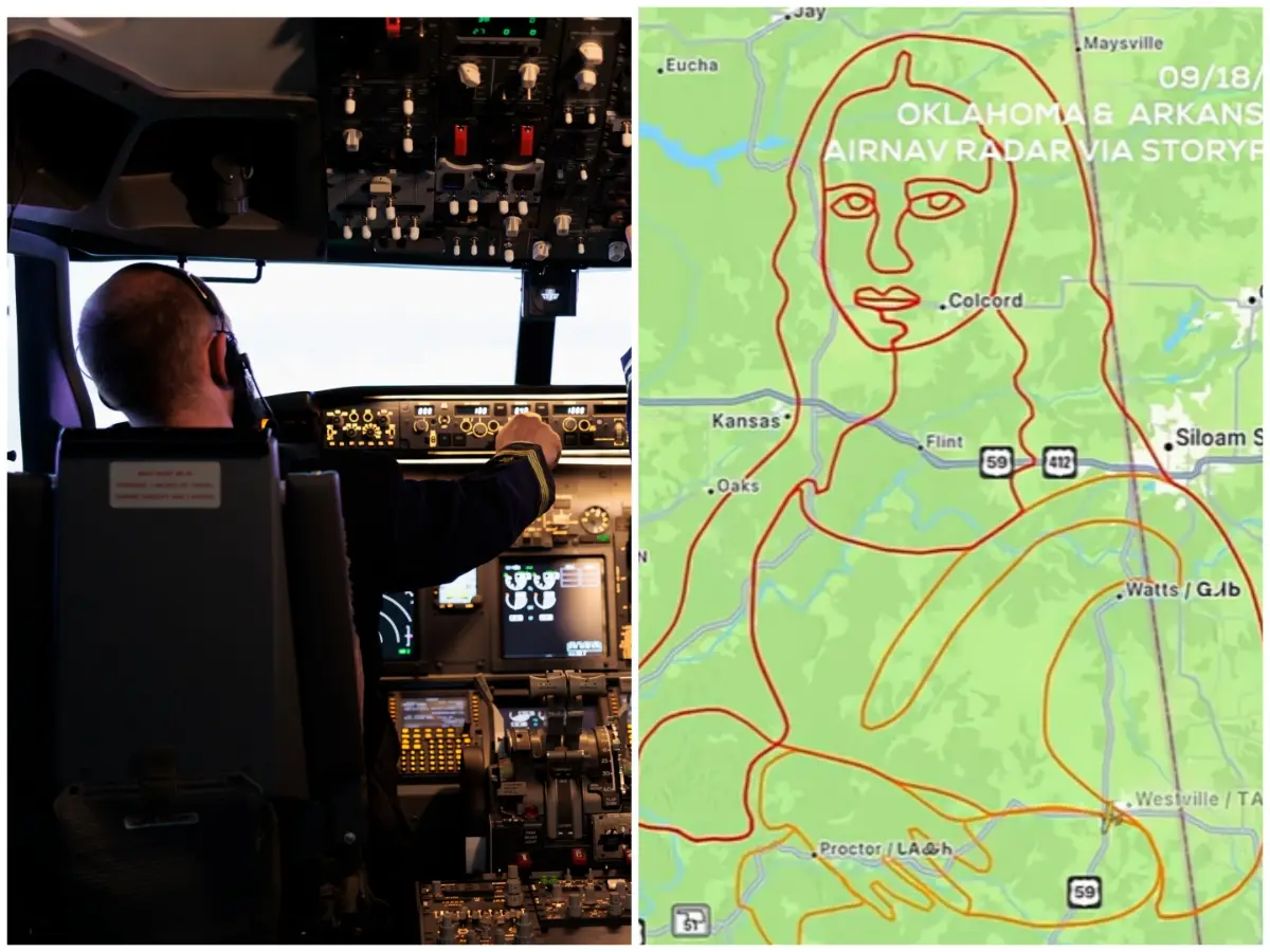)
Pilot recreates Mona Lisa in sky over Oklahoma and Arkansas in four-hour flight: VIDEO
)
UK PM Burnham agrees to 'defensive' military support for Saudi Arabia against Houthis
)
Jailer 2: Vidya Balan joins Rajinikanth's upcoming film as Kantha | Watch
)
Microsoft executive called AI training the ‘largest theft of labour in human history’
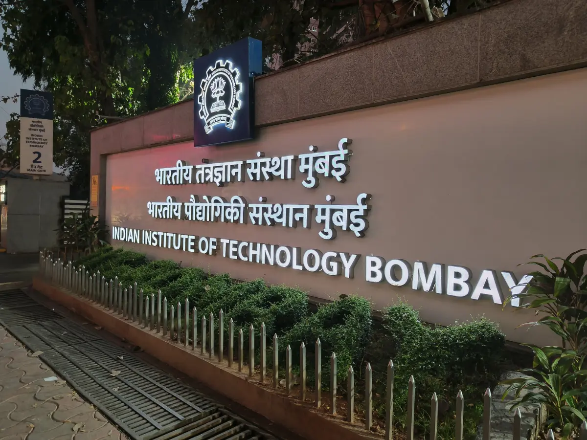)
IIT Bombay student death: CCTV footage becomes key evidence as police reconstruct Sahil Wakode's final hours
)
40-foot waves crash into cruise ship in dangerous stretch near Antarctica. Watch
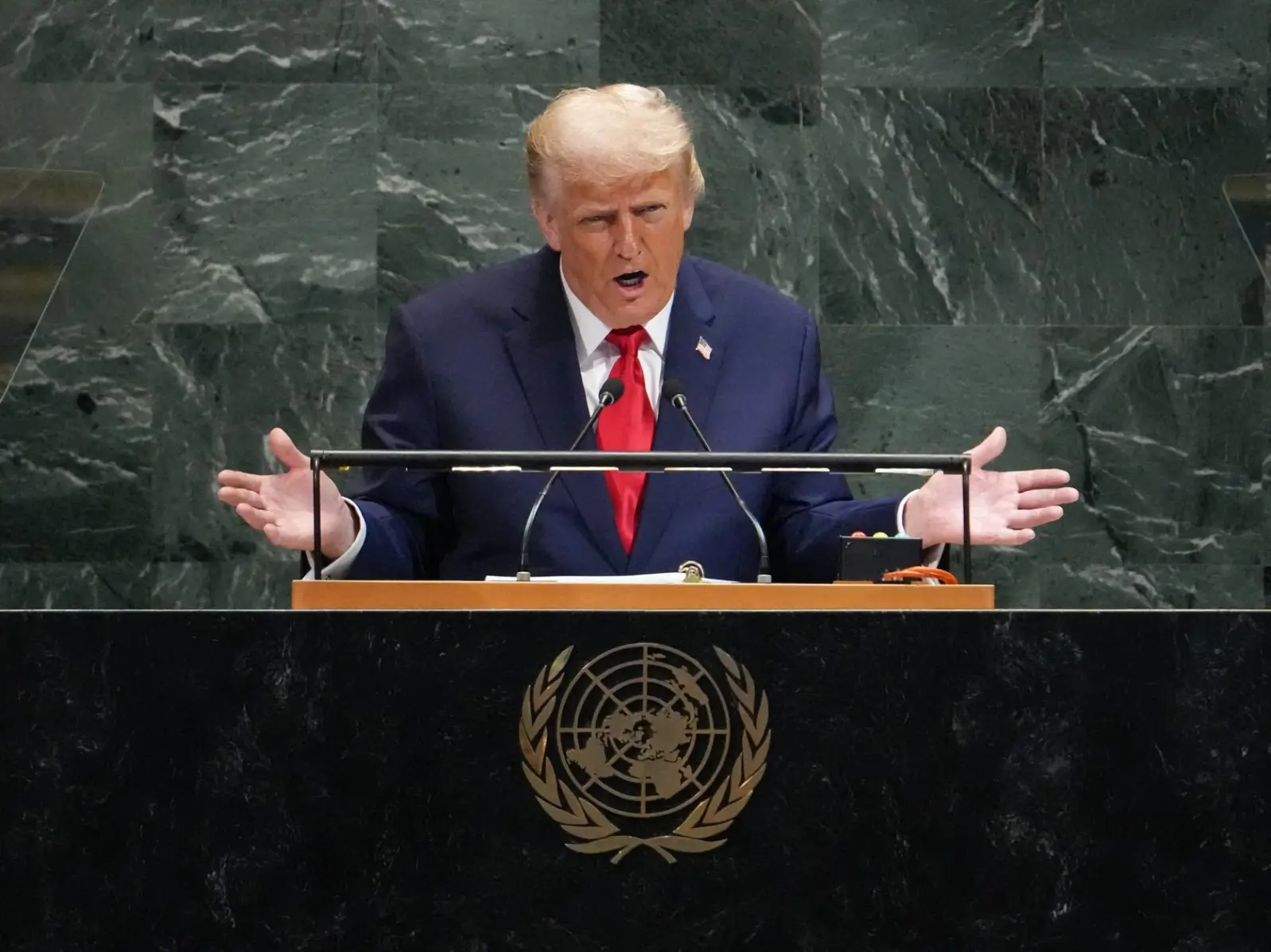)
US-Iran war, peace deals and more: What to expect from Trump's UNGA 2026 speech
)
Explainer: Why rare-earth export licences and Board of Trade are US priorities ahead of Trump-Xi summit
)
BTS fans mock iHeartRadio’s day 2 turnout after short set controversy
)
Two infants die after fire breaks out at RIMS newborn care unit in Telangana's Adilabad
Also Read:Scientists figure out a way to refreeze ice in Arctic amid bleak glacial future
Meanwhile, besides the historical imagery, Google said that it was also expanding Street View on Google Maps in almost 80 countries.
You can also expect the pictures to becomes much more sharp and clear as the company has plans to improve their quality on Google Earth and Google Maps. It will be turning to new AI models to do so.
What is Google Earth?
Google Earth lets users see the planet and its several locations as viewedby satellites. It is a web and computer program that provides you with a 3D representation of Earth. People can see cities and landscapes from various angles.

