&imwidth=800&imheight=600&format=webp&quality=medium "El Niño 2026 heats up to become strongest in 1,000 years")
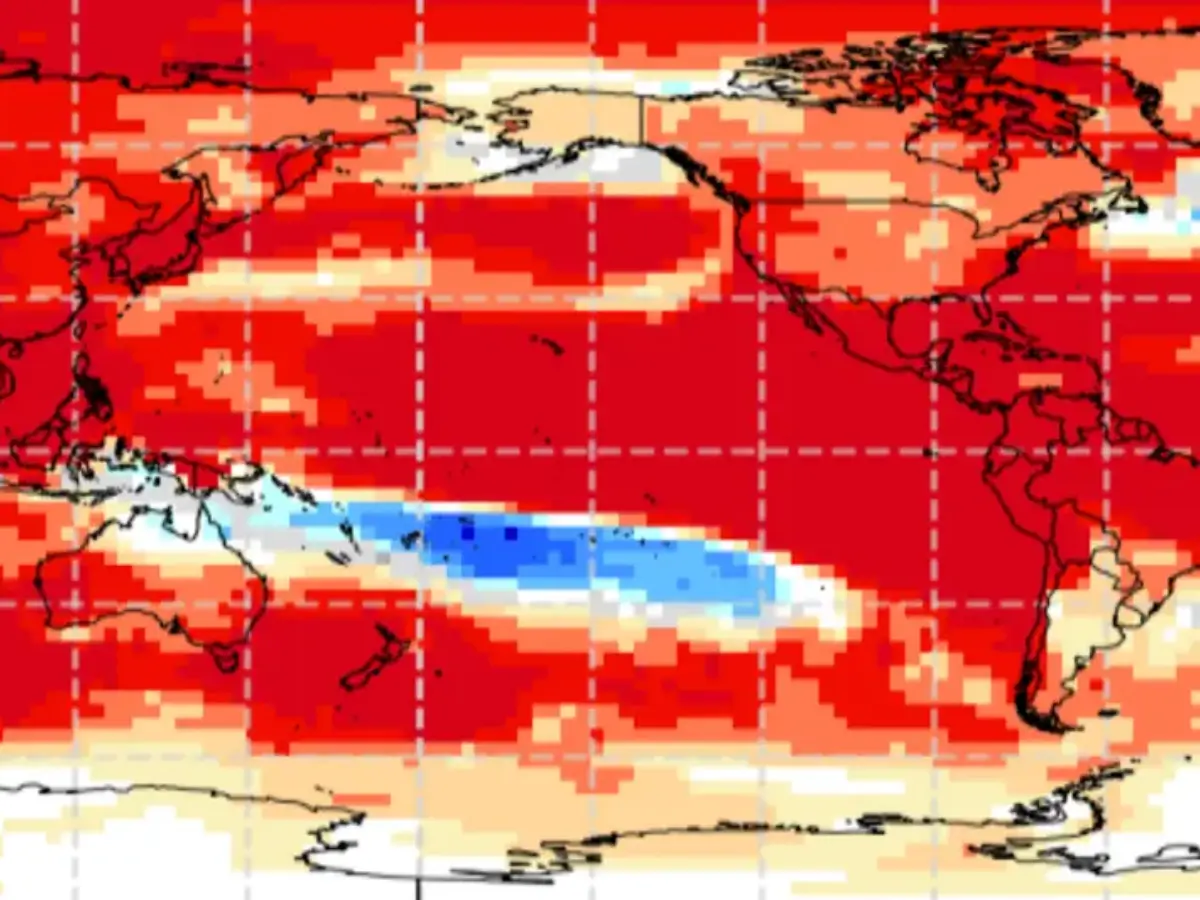
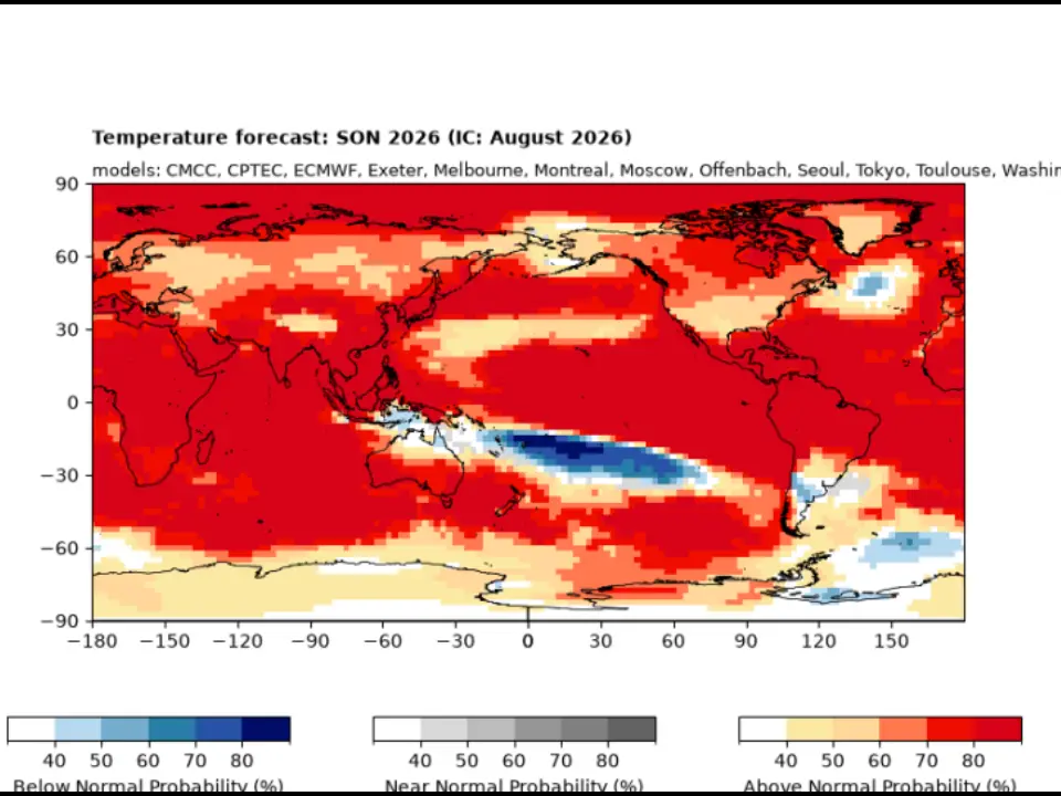
The El Niño in 2026 is on course to become the largest in at least 1,000 years. Scientists have found that even before its peak, it has already shattered temperature records, with a peak at what is yet to come. The latest data shows that the sea surface temperature at the centre of the phenomenon is 3.05 degrees Celsius above the average for 1991–2020. The previous record was 3.02 degrees Celsius set in November 2015. It is not far from a possible peak of 4.1 degrees Celsius in November and December.
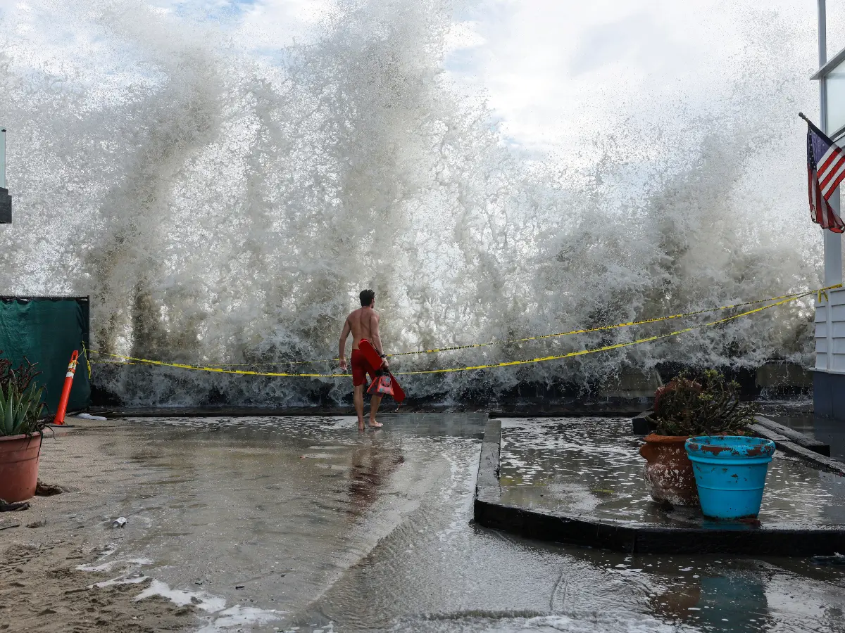
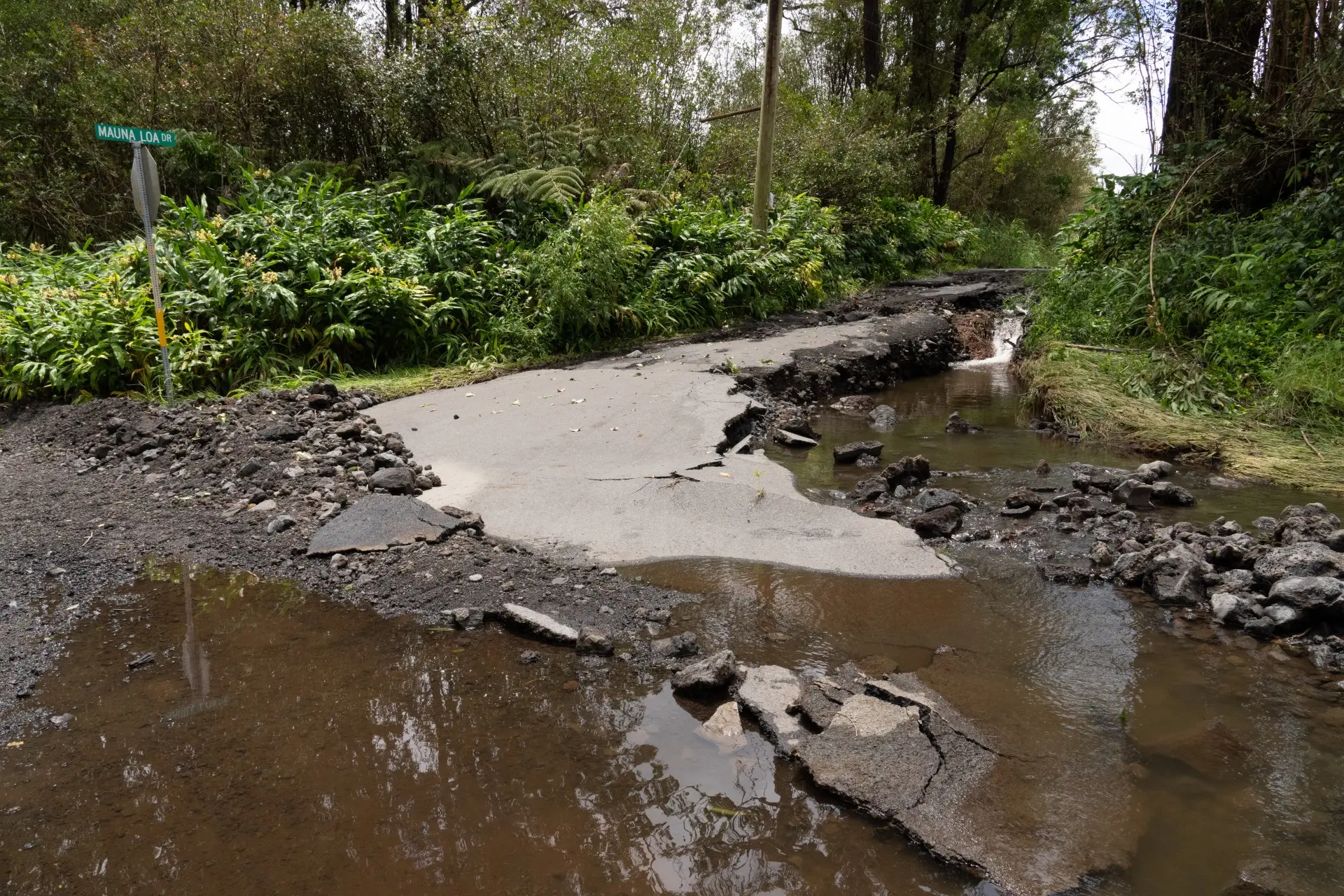
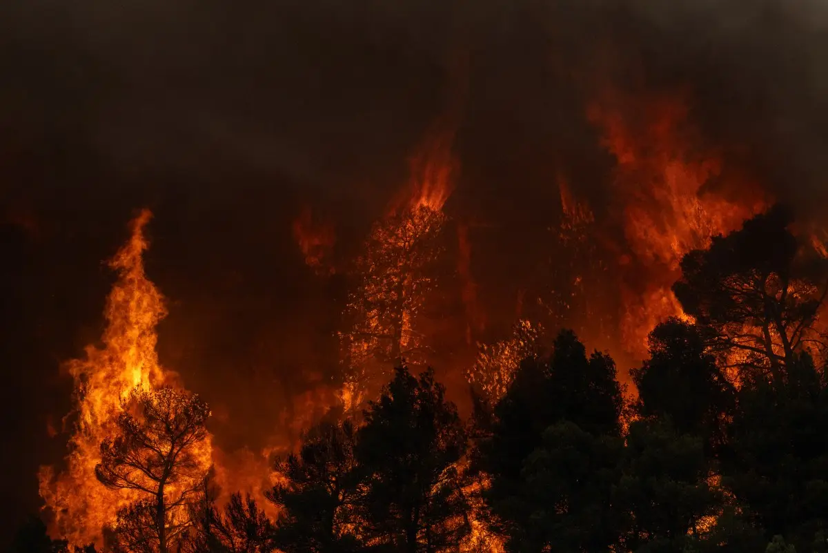
El Niño has wreaked havoc across the world this year. Heatwaves slammed Europe and the United States, the monsoon pattern in India was disrupted, wildfires engulfed large parts, and floods hit other places. Earlier in the year, scientists had warned that the El Niño this year would be the worst in 150 years. But now it looks set to shatter 1,000-year records.

Climate scientists say that every El Niño has continued to strengthen after mid-September, and the same can be expected this year as well. "El Niño typically peaks in the winter months, most commonly in November or December," climate scientist Zeke Hausfather wrote in a blog for Carbon Brief, calling it "remarkable" because of "how early in the calendar year it is occurring."
El Niño brought extreme heat, with temperatures touching 45 degrees Celsius in part of Europe. Copernicus Climate Change Service data shows that August 2026 was the warmest one since records started. Global average temperatures for the first eight months of 2026 are already 1.22 degrees Celsius above the average marker.
Trending Stories
)
Justice eludes Air India 1985 bombing victims as Canada probe goes 'inactive' | Gravitas
)
Erdogan again raises Kashmir issue at UNGA, calls for dialogue under UN Charter
)
'Our team opened the gate of gold medals': Harmanpreet Kaur on India’s Asian Games final win
)
'Needs time away from the international scene': England white-ball captain Brook on pacer Brydon Carse's future
)
Four decades after leaving Kolkata, the Birlas may be coming back for more
)
The Verdict | Moral policing isn’t culture or discipline, it’s crime
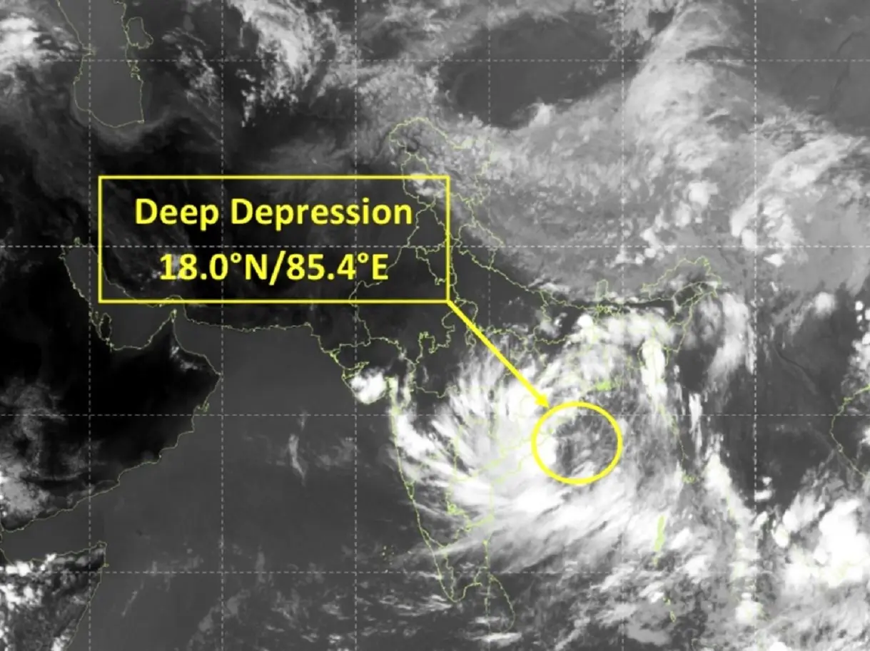)
Cyclone Arnab: Landfall expected before midnight tomorrow as IMD issues orange alerts across six states
)
Glitch in the matrix caught on camera: Woman vanishes after talking to reporter
)
Rani Mukerji's mother Krishna Mukerji passes away; Karan Johar, Jaideep Ahlawat visit actress
)
Asian Games 2026: India women's cricket team beats Sri Lanka by 147 runs for first gold
)
ICC plans T20I expansion and fewer ODIs in 2027–2031 FTP cycle: Report
)
Key accused in Bihar's Jamui molestation case, arrested after police shoot him in leg
)
'Mumma’s boy from Gwalior who dared to dream': Kartik Aaryan pens long note after first National Award win
)
Gravitas | Boosting NHS productivity could save 20,600 lives in UK annually: Report
)
US and China vie for AI dominance as calls grow for regulation | Gravitas
)
Yemen clashes kill 154 people in two days as cornered Saudi battles Houthi offensive | Gravitas
72nd National Film Awards: Kartik Aaryan receives Best Actor honour for Chandu Champion in Gujarat
)
Bomb scare in New York amid UNGA: Suspicious suitcase found near UN headquarters
)
IND vs JPN, one-off T20I: Japan captain Kendel on pushing India to the brink - ‘It was special’
)
Raaka creates history! Allu Arjun’s film secures Guinness World Record ahead of release
)
Saudi Arabia exits China-led mBridge digital currency platform amid Saudi-Houthi conflict
)
WION Iconic Tourism Summit and Awards 2026: Key voices to discuss India’s tourism future
)
National Film Awards 2026: Yami Gautam wins Best Actress for Article 370
)
World leaders repeatedly call Gaza crisis ‘genocide’ as Israel’s war dominates opening sessions of UNGA
)
WION Iconic Tourism Summit and Iconic Awards 2026: India's travel economy leaders gather in Delhi
)
American manufacturing is reshoring faster than its factory floors can absorb
&im=FitAndFill=(700,400))
New OTT releases this week (September 21-27, 2026): Shaque: Trust No One, Hunkkaar, Don’t Be Shy- 5 new titles coming to Netflix, Prime Video and more
)
Trump calls on nations to quit ‘rogue’ and ‘out-of-control’ International Criminal Court, rips UN
)
Who is Clavicular? The 20-year-old controversial 'Looksmaxxing' influencer charged with rape allegations
)
'This is normally what toddlers do': Why a psychiatrist is raising fresh questions about Trump’s recent behaviour
&im=FitAndFill=(700,400))
National Film Awards 2026: Kartik Aaryan, Mammootty, Yami Gautam, Randeep Hooda and other key winners
)
‘Strike a deal or drive Iran into hell’: Trump issues fresh warning to Tehran at UNGA
)
Trump calls Cuba a ‘failed state’ at UN, Cuban delegation walks out
)
Over 4,200 books withdrawn from circulation in J&K colleges, 94% from Kashmir
)
Trump’s China visa crackdown puts US universities, Chinese students in focus ahead of Trump- Xi summit
)
Explainer: Why rare-earth export licences and Board of Trade are US priorities ahead of Trump-Xi summit
)
Oil slips to $98 as Saudi Arabia restarts East-West oil pipeline
)
‘Shame on you’: Netanyahu vows to ‘tell the truth’ about Mamdani at UN ahead of New York visit
El Niño winter
NASA, the World Meteorological Organization (WMO) and climate experts across the world saw El Niño with all signs of becoming strong as the year progresses. It is also expected to bring a brutal winter to the United States, with at least six states expected to witness heavy snowfall. Meanwhile, a few other states will remain dry. California, Nevada, Utah, Colorado, New Mexico and Arizona are at risk of heavy snowfall triggered by El Niño.
No major Atlantic hurricanes
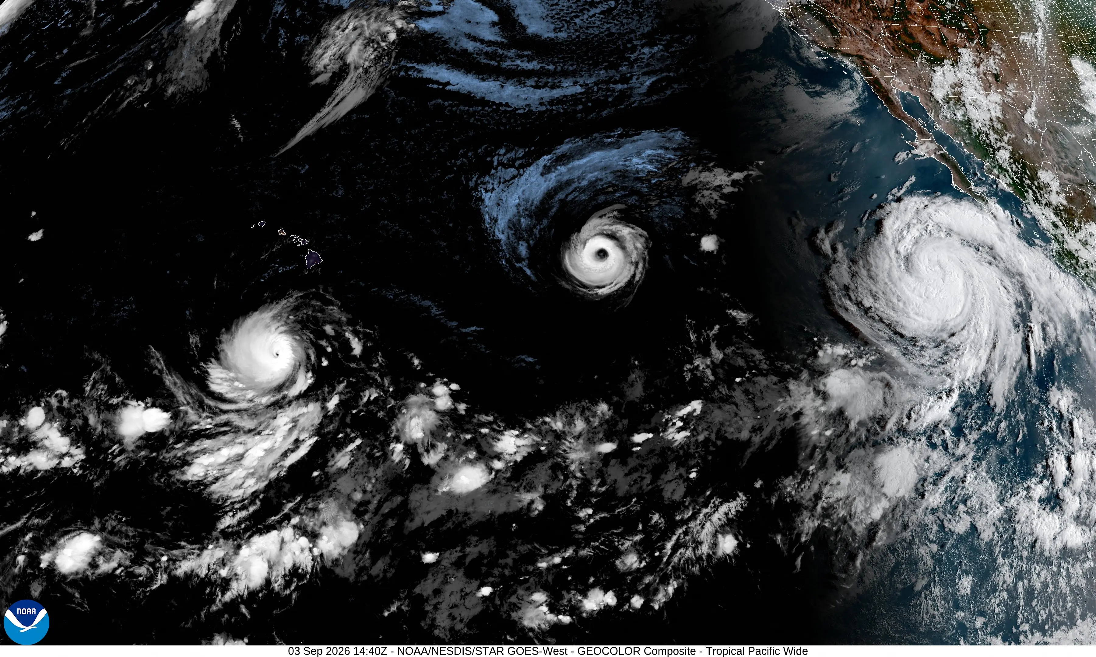
Meanwhile, the current hurricane season has seen no major developments. It is rare to have no hurricanes until September 15, and experts have also attributed this to this year's El Niño. According to the National Oceanic and Atmospheric Administration data, this is the longest stretch without an Atlantic hurricane since at least 1966.
WMO says El Niño will stay till Feb 2027
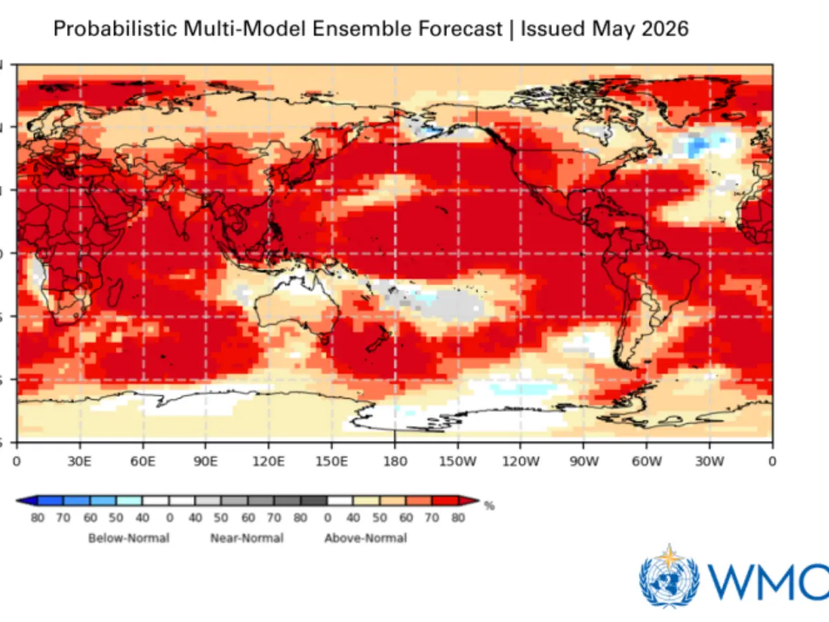
El Niño has been underway since June and will last into next year. The WMO warned earlier in September that it will intensify into a very strong event in the coming months, and impact rainfall and temperature patterns, and floods, drought and extreme heat. WMO Forecasts have given it a near 100 per cent chance of persisting through February 2027.