Explained | Four earthquakes in over 30 days: Why is Delhi experiencing tremors so often?


Delhi earthquake
Delhi, and its neighbouring areasexperienced strong tremors on November 6 at approximately 4:15 pm, making itthe fourth such occurrencein Delhi within a single month, raising questions about the capital's vulnerability to earthquakes.
When we ask the question "why," there are numerous factors that render the capital region prone to seismic activity. These factors encompass India's seismic zoning, the geological elements positioning Delhi within Zone IV, its susceptibility to earthquakes due to its proximity to the Himalayan ranges, the distinctive settlement patterns that amplify risk, and the potential ramifications of a significant earthquake in the region. Let's take a deeper look.
Seismic zoning in India

A fundamental understanding of Delhi's seismic vulnerability requires insight into India's seismic zoning. The Bureau of Indian Standards (BIS) classifies India into four primary seismic zones:
- Zone V (most active): Encompassing 11 per centof India.
- Zone IV: Covering 18 per centof the nation's territory.
- Zone III: Extending over 30 per centof the landmass.
- Zone II (least active): Occupying a significant 41 per cent of India.
Delhi and the National Capital Region (NCR) fall under Zone IV, which signifies a high seismic risk zone, indicating a higher likelihood of experiencing moderate to high-intensity earthquakes.
)
Trump-Xi Summit: Trade, Taiwan and the red lines shaping US-China talks | Race To Power
)
US citizen injured in Illinois after ICE agents mistook him for fugitive, hospitalised
)
US judge questions Trump’s decision to ban CNN, MS NOW and Politico from White House
)
Afghan woman cyclist who disguised herself as a boy to escape Taliban, wins Asian Games medal
)
Italy hit by floods in the north, drought in the south
)
'There will be elections': Venezuela's interim leader Delcy Rodriguez makes big announcement at UN
)
Would you date an AI? South Korea’s My AI Partner: Strange Love sparks buzz on relationship and intimacy
)
'Arrogant parasites': Milei blasts UN over Falklands dispute, warns Argentina will ‘take matters into our own hands’
)
IIT Bombay CCTV footage emerges: Sahil Wakode seen looking at phone in examination hall
)
Cyclone Arnab: Landfall expected before midnight tomorrow as IMD issues orange alerts across six states
)
9 killed, several injured as tourist bus catches fire on Yamuna Expressway
)
NBA player Steven Adams shares hilarious GTA VI theory
)
WION Iconic Tourism Summit 2026: Union Minister Shekhawat on 'experiential travel', peace diplomacy
)
'AI got into my speech': Prince Harry jokes after teleprompter failure at event in New York
)
Scientists detect first radio signals directly from faraway planet
)
China to test supersonic jet that moves at Mach 2, double the speed of sound
)
WION Iconic Tourism Summit: 'Hanuman Ansh' Director on blockbuster success
)
'Partners rather than rivals': Xi Jinping's first message after landing in US for Trump summit
)
WION Iconic Tourism Summit: Is India's travel boom outrunning its airports, airlines and hotels?
)
IIT Bombay student suicide case: CCTV from the exam hall hours before suicide
)
2,000-foot tube, laser tests and more: China builds towns to expand nuclear arsenal, satellite images show
)
French court upholds decision to send PSG and Morocco footballer Hakimi to rape trial
)
WION Iconic Tourism Summit and Awards 2026: Key voices to discuss India’s tourism future
&im=FitAndFill=(700,400))
New OTT releases this week (September 21-27, 2026): Shaque: Trust No One, Hunkkaar, Don’t Be Shy- 5 new titles coming to Netflix, Prime Video and more
)
WATCH | China President Xi Jinping lands in US as Trump greets him ahead of high-stakes summit
)
Australian PM Anthony Albanese calls OpenAI AI incident 'unacceptable' after restricted data access
)
Claude Opus 5.5 is here: Anthropic claims it can finish a 680,000-line code migration in less than a day
)
'What kind of confession is this?': Pakistan PM Shehbaz Sharif’s 'terrorists would be roaming New York' remark goes viral, raises alarm online. Watch
)
WION Iconic Tourism Summit: How local tourism MSMEs must upskill for AI integration
)
Eight USS Abraham Lincoln sailors attempted suicide, Acting Navy Secretary says
)
Trump’s Board of Peace unveils $2.45bn Gaza plan,66 projects: But where’s the money?
)
EC appointment law: Why is the 2023 act controversial, and what happens next? WION explains
)
'Putin is patient zero': Zelensky slams Russian president at UNGA, accuses him of using fighters from 47 countries
&im=FitAndFill=(700,400))
National Film Awards 2026: Kartik Aaryan, Mammootty, Yami Gautam, Randeep Hooda and other key winners
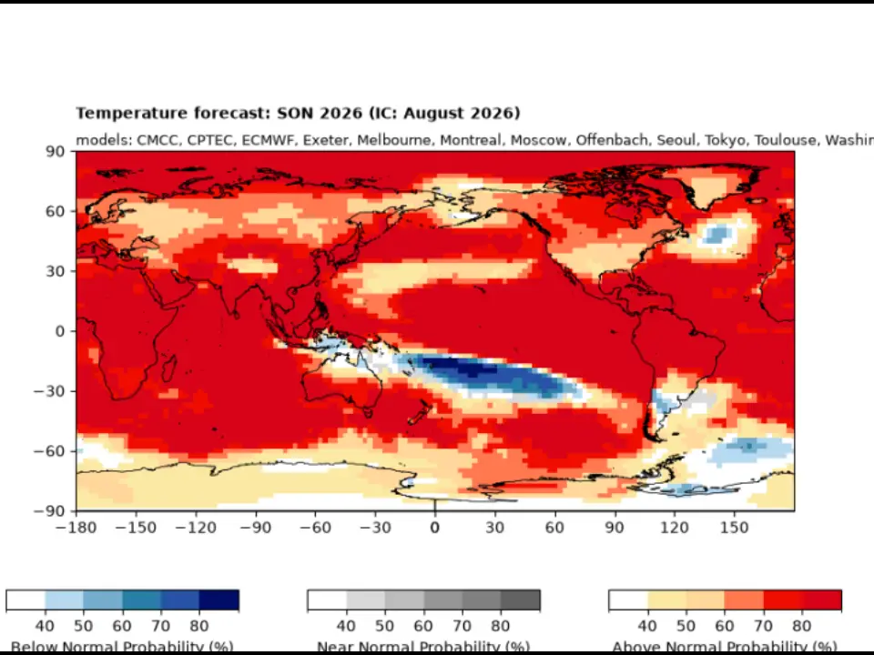)
El Niño 2026 heats up to become strongest in 1,000 years
)
Israeli envoy to US Yechiel Leiter’s son critically injured in West Bank ramming attack
&im=FitAndFill=(700,400))
Trump welcomes Xi Jinping in rare airport gesture: Photos from Chinese President's arrival in US
)
Xi-Trump meeting: China’s human rights red line and past protests explained
Delhi's in zone IV: Geological factors
The placement of Delhi in Zone IV is primarily attributed to its geographical location and the geological activities in the region.
Delhi is situated in close proximity to the Himalayan ranges, approximately 200-300 kilometresaway.
The Himalayas, one of the world's youngest mountain ranges, formed due to the continual collision between the Indian and Eurasian tectonic plates.
This perpetual tectonic activity leads to regular tremors, making the region a hotspot for natural calamities such as earthquakes and landslides.
Earthquakes are predominantly triggered by the movement of tectonic plates in the uppermost layer of the Earth's crust.
Consequently, the more activity in this layer, the higher the likelihood of an earthquake occurring. Although Delhi is not directly situated on a major fault line, its location in a seismically active region can be attributed to its proximity to the Himalayas.
This proximity to the Himalayan tectonic plate boundary, where the Indian plate collides with the Eurasian plate, is the primary reason for the heightened seismic risk in the region.
Proximity to the Himalayas
The Himalayan region, including Nepal, Uttarakhand, and adjoining areas, is particularly susceptible to devastating earthquakes, often surpassing 8.5 on the Richter Scale.
This proximity to the Himalayas is a significant factor in why Delhi is categorized under Zone IV, denoting a high-risk zone, while the Himalayan region itself falls under Zone V, signifying the highest risk of damaging earthquakes.
Unique settlement pattern
In addition to geological factors, the unique settlement pattern of Delhi and the NCR contributes to the region's vulnerability.
The area is characterised by extensive high-rise constructions and sprawling informal settlements.
Notably, areas along the banks of the Yamuna and Hindon rivers, housing numerous multi-story buildings, are situated in the most seismic-prone zones.
Sections of Old Delhi and unauthorised colonies along the riverbanks further compound the vulnerability.
What could be the potential consequence of a major earthquake in Delhi?
Experts have issued warnings about the potential for a significant earthquake in the region in the future. The consequences of such an event could be severe, given the densely populated urban area, ageing infrastructure, and inadequate building standards in some parts of the national capital.
Delhi's dense and rapidly growing urban landscape presents a complex challenge for disaster preparedness. In the event of a substantial earthquake, the city's infrastructure, housing, and transportation networks could be severely affected. The potential for casualties and extensive damage to property is a cause for concern.
It is also importantto acknowledge that earthquakes are complex, unpredictable natural events.
While experts can assess the seismic hazard in a region and provide warnings and recommendations, the precise timing and magnitude of future earthquakes remain uncertain.
The accurate prediction of earthquakes remains a perennialchallenge in the field of seismology.
Also watch |Nepal Earthquake: India sends medicines, and other humanitarian aid to Nepal
What is the government doing?
Recognising the seismic risk, the government and local authorities have been working diligently to enhance earthquake preparedness.
Their efforts include updating building codes to ensure that new constructions are earthquake-resistant, retrofitting critical infrastructure to withstand seismic shocks, and raising awareness among the population about earthquake safety measures.
Additionally, emergency response plans are in place to manage any potential disaster.
How is Nepal dealing with the devastation of the Fridayearthquake?
Officials in Nepal have recorded153deaths so far from the Friday (Nov 5) earthquake.
They also expressed concerns that the death toll from the earthquake in Jajarkot might rise, as they were unable to establish contact in the hilly area near the epicentre.
The epicentre was located approximately 500 km (300 miles) west of the capital, Kathmandu, where tremors were also felt. Jajarkot district, with a population of 190,000, comprises villages scattered in remote hills.
The search and rescue efforts were hindered by landslides triggered by the earthquake, blocking the roads leading to the affected areas, according to a Nepal police officer.
Since the earthquake, numerous buildings in Jajarkot and the neighbouring Rukum West district have either collapsed or developed severe cracks, rendering them uninhabitable. Survivors reported hearing the loud noises of buildings collapsing shortly after the earthquake struck, as reported by PTI.
Local media footage show the facades of multi-storied brick houses in ruins, with substantial pieces of furniture scattered about. Videos showed people evacuating buildings and running into the streets.
This earthquake marked the deadliest since the devastating events of 2015 when approximately 9,000 people lost their lives in two earthquakes in Nepal. Those earthquakes reduced entire towns, centuries-old temples, and historic sites to rubble, resulting in the destruction of more than a million houses and incurring an economic cost of $6 billion.
(With inputs from agencies)