Sioux Falls weather forecast: South Dakota and Minnesota brace for New Year’s deadly snowstorm

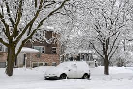
South Dakota and Minnesota brace for snow
The New Year 2023 might start with potential blizzard conditions across counties in South Dakota and Minnesota. According to the National Weather Service of Sioux Falls, From Monday afternoon to Tuesday evening, Minnehaha County and surrounding areas will be under a winter storm warning as a "significant winter storm" moves through the area. The storm may bring a total snow accumulation of 5 to 14 inches. As per the warning, the storm can cause power outages in some areas, and people should avoid travelling outside. Some areas can expect 1 to 2 inches of snow per hour Monday night and Tuesday morning.
Sioux Falls forecast
Within four weeks, the fourth winter storm of the season may hit Sioux Falls. In December only, a total of 19.4 inches of snow has fallen in the area, making it the snowiest December so far. The winter storm will hit Sioux Falls Monday noon, and no respite should be expected before Monday 6 PM local time. A wintery mix of snow and freezing rain is expected to last until 3 PM Monday, before returning to snow from midnight to 9 PM Tuesday. The heaviest snowfall is expected between 6 PM Monday and 6 AM Tuesday local time.

Complete weather forecast Sioux Falls
Wednesday will be partly cloudy with a high near 17. Winds from the north at 10 to 15 mph, with gusts up to 20 mph.
Wednesday night will be partly cloudy with a low around 2.
Thursday will be mostly sunny, with a high around 16.
Thursday night will be partly cloudy with a low around 7.
Friday will be partly sunny with a high near 25 degrees.
On Friday night, it will be mostly cloudy with a low around 16.
Saturday will be mostly cloudy with a high near 25 degrees.
Saturday night: Mostly cloudy with a low of around 15 degrees.
Sunday will be partly sunny with a high near 25 degrees.
Minnesota also braces for snow
&im=FitAndFill=(700,400))
National Handloom Day 2026: From Alia Bhatt to Samantha Ruth Prabhu; Actresses who celebrated India's textile heritage as brides
)
The Royals enter the Doctor Who universe: King Charles and Queen Camilla beam into Commonwealth Games in TARDIS
)
Unitree Robotics targets $9 billion valuation in landmark IPO backed by DeepSeek and Tencent
)
India names 27 sites in Arunachal Pradesh
)
Bharat Bhhagya Viddhaata OTT: When will Kangana Ranaut's film stream online?
&im=FitAndFill=(700,400))
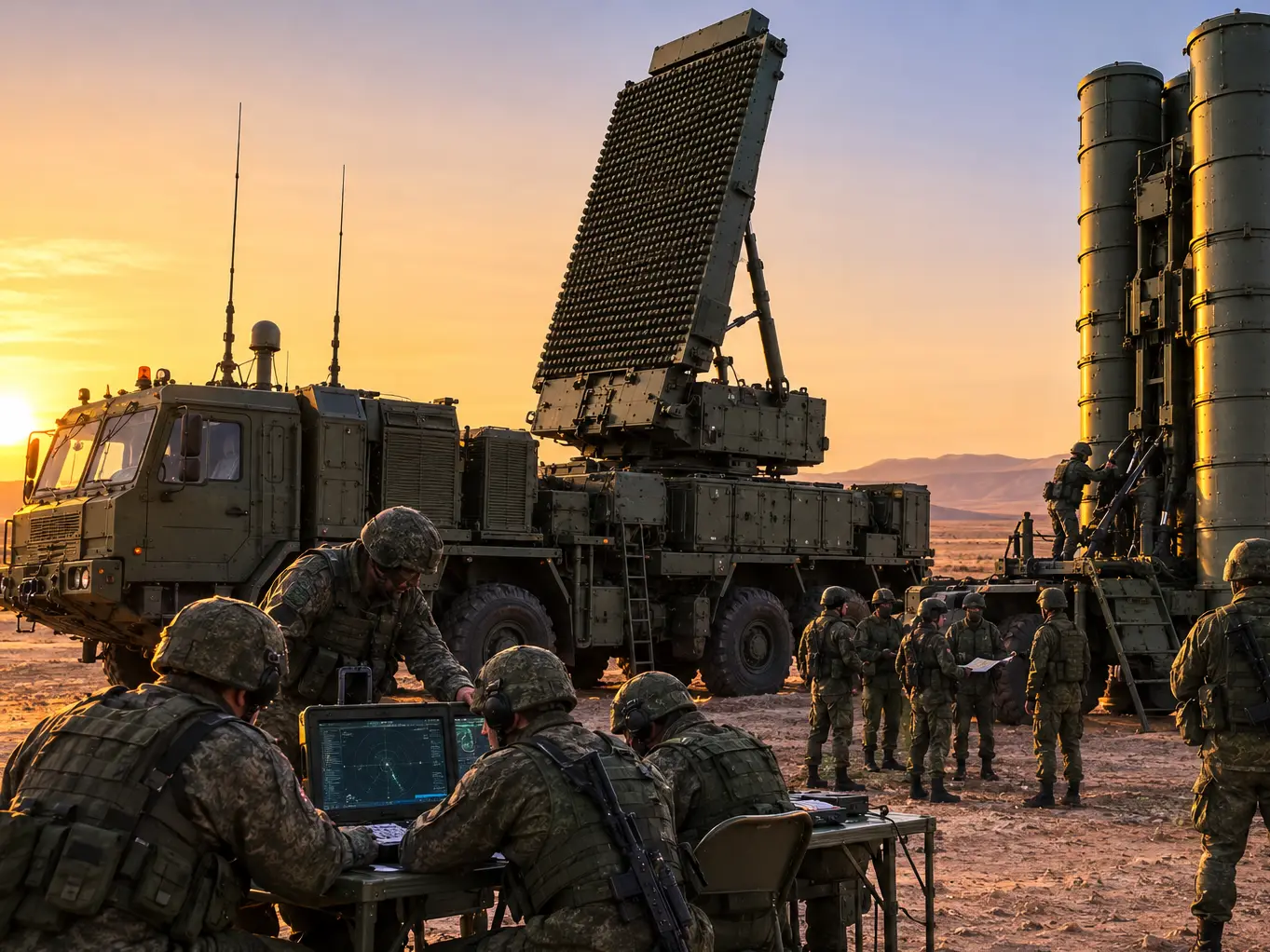
How many soldiers operate one S-400 battery?
)
Shakib Al Hasan ready to return to Bangladesh—under one condition
)
‘Fake news’: MEA rejects report claiming India sought defence pact with Israel after Pakistan, Saudi Arabia, Turkey deal
)
Rockstar to unveil GTA 6 extended look ahead of November launch
)
Russia forms Ukrainian Volunteer Spetsnaz Brigade to fight Ukraine
)
Drug-resistant fungus that hides in hair and enters bloodstream reported in 23 US states
)
Technology transfer deal boosts India's defence manufacturing ambitions
)
Border row erupts in Europe after Ceuta crossings, Spain imposes border controls on Italy
)
Morale plummets on USS Abraham Lincoln: Are US sailors reaching a breaking point? | GRAVITAS
)
'Security can't be bought with Pakistan, Turkey deal': Iran tells Saudi Arabia
)
Baba Vanga's 2026 prophecy: 2 predictions 'already came true', 3 terrifying ones remain. Details inside
)
Colombia’s new president Abelardo de la Espriella vows to ‘defeat narco-terrorists’, signals hardline shift
&im=FitAndFill=(700,400))
New Friday OTT releases (August 7, 2026): Operation Safed Sagar, Vadhandhi, Main Vaapis Aaunga- 6 movies and TV shows on Netflix, Prime Video and more
)
Squadron Leader Bhawana Kanth scripts history as Indian Air Force gets its first woman ‘Top Gun’ pilot
)
RSS says Gen Z protests reflect genuine distress
)
Trump says Iranian school bombing photos could be AI-generated - 'I don’t think...'
)
IAF officer held for sharing sensitive information in 'honey trap' case, booked under Official Secrets Act
)
Stray Kids under scrutiny? Fans react to Grammy submission silence after BTS boycott
&im=FitAndFill=(700,400))
Why the Su-30MKI doesn't need external fuel tanks to fly vast distances
)
Jugal Hansraj reunites with Shekhar Kapur after 40 years for Masoom: The Next Generation
)
New speed limits, automatic challans: Big traffic change coming to Delhi-Meerut Expressway. All you need to know
)
India officially names 27 places in Arunachal to counter China's renaming claims
)
Trump calls White House ballroom ruling a 'national disgrace' as court says Congress approval needed
)
US sanctions Iran’s crypto network after Strait of Hormuz attacks, offers $15m bounty for intel on IRGC finance
&im=FitAndFill=(700,400))
Why the Su-30MKI is one of the heaviest fighters ever built
)
Uttarakhand young innovator builds India's own flying vehicle, conducts first test flight: WATCH
)
Chilling video shows students take cover as teen opens fire at Thai school
)
Reese Witherspoon's father hospitalised after poolside incident in Nashville: Report
Snow is expected in the Twin Cities on Monday night and Tuesday. Ice accumulations are expected south of the metro along I-90. A Winter Weather Advisory is in effect for a few counties in central Minnesota and western Wisconsin from Monday evening to Tuesday evening. On Monday afternoon, scattered snow showers are possible, primarily from the Twin Cities to the south. There may be some freezing drizzle mixed in with the snow in southern Minnesota. Any precipitation would be light until around 6:00 p.m. Monday. The heaviest snowfall is expected to fall from southwest Minnesota into the west metro. In these areas, 8 to 12 inches of snow accumulation is possible. The totals in the south and east metro areas could range from 4 to 8 inches.