1,000-kilometre 'wall of rain' in UK? Met department says country could face Hurricane Erin after-effects

&imwidth=600&imheight=450&format=webp&quality=medium "1,000-kilometre 'wall of rain' in UK? Met department says country could face Hurricane Erin after-effects")
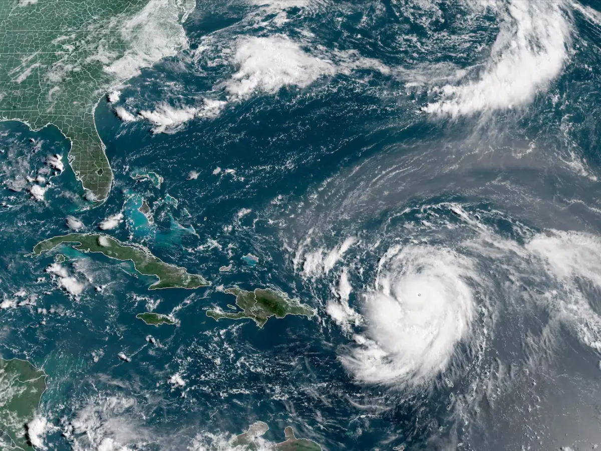
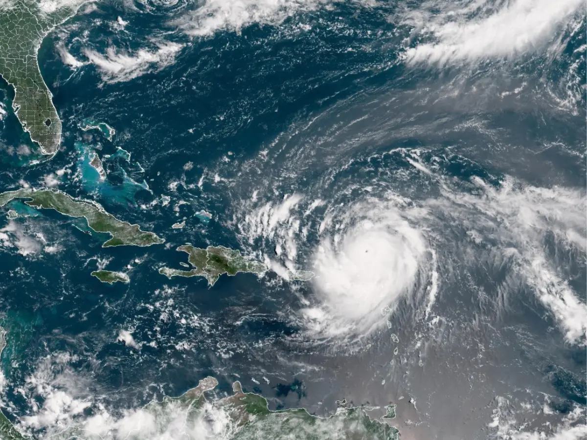
This satellite image provided by the National Oceanic and Atmospheric Administration (NOAA) shows Hurricane Erin forming in the Atlantic Ocean. Photograph: (AFP)
Hurricane Erin, a Category 4 storm, is expected to bring devastating winds and rain not only to North Carolina in the US but also to the UK. As it moves across the North Atlantic, a “wall of rain” could form over the western portion of the country, according to the Met department.
Hurricane Erin could bring a nearly 1,000-kilometre-long “wall of rain” to the UK, according to reports circulating in the country. The storm has strengthened to a Category four hurricane, triggering a state of emergency in parts of North Carolina in the United States. However, remnants of the storm are expected to reach the western UK, bringing strong winds and heavy rain to the region. Waves of up to 20 feet are expected on the beaches of the Outer Banks on Tuesday. The hurricane could also bring life-threatening conditions to the US East Coast. The effects of the hurricane are already being felt in the south-eastern Bahamas, alongside the Turks and Caicos Islands, where rain is pouring. The UK Met Office has predicted wet and windy conditions in "southern and western areas" in the coming days, even though Erin is nearly 5,000 kilometres away. Also Read: Erin becomes 'catastrophic' Category 5 hurricane: Here’s what we know so far
Hurricane Erin is on a trajectory through the North Atlantic. Officials have predicted that there is a high possibility of "stronger winds and rain, some of which could be heavy and thundery, especially for southern and western areas". They added that the forecast for Erin will be affected by how the storm behaves as it moves through the Atlantic. Currently, the country is witnessing extreme heat, with temperatures reaching 30 degrees Celsius in London. However, this is set to change because of Hurricane Erin. Reports circulating in the country mention that a 600-mile (1,000-kilometre) "wall of rain" will form moving across the west of the UK. Also Read: Dramatic video captures ‘stadium effect’ inside Hurricane Erin that can result in life-threatening 100-foot waves
A 600-mile “wall of rain” in the UK
Meteorologist Simon King told the BBC that the so-called "wall of rain" is "any low pressure containing remains of the strong storm", which would be 600 miles wide. So, it's not a literal wall, but an effect that would be felt for the given length of area. The weakening of Hurricane Erin as it "moves across the North Atlantic and arrives to the west of the UK", would change the current weather conditions and bring rain and wind to the country. A Met official told Daily Mail, "A deep area of low pressure linked to Erin is likely to develop in the North Atlantic, with the final week of August possibly seeing Atlantic systems progress over the UK, especially in the North and West."
Hurricane Erin in the United States
Trending Stories
)
)
)
)
)
)
)
)
)
)
)
)
)
)
)
)
)
)
)
)
)
)
)
)
)
)
)
)
)
)
)
)
)
)
&im=FitAndFill=(700,400))
)
)
)
)
Hurricane Erin is not on track to make direct landfall, but has led to choppy seas and has led to nearly 38,000 people being evacuated in North Carolina. "Erin's already large size and intensity are acting like a giant plunger on the sea surface," AccuWeather senior meteorologist Alex Sosnowski said in a report. He added that Erin was among the fastest-strengthening storms on record. It earlier intensified from a tropical storm to a Category 5 hurricane in just over 27 hours. It later dropped to a Category 4 hurricane.