Chinese spacecraft acquires images of entire planet of Mars

Mars
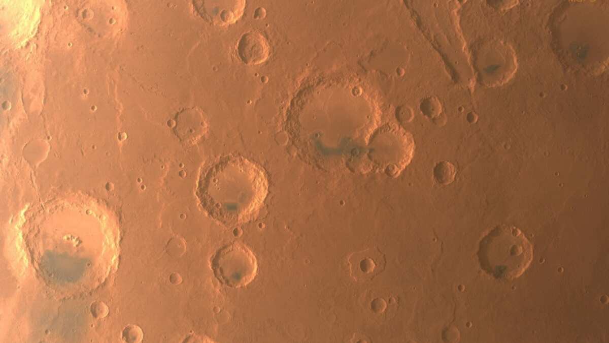
An uncrewed Chinese spacecraft has acquired imagery data covering all of Mars, including visuals of its south pole, after circling the planet more than 1,300 times since early last year, state media reported on Wednesday.
China's Tianwen-1 successfully reached the Red Planet in February 2021 on the country's inaugural mission there. A robotic rover has since been deployed on the surface as an orbiter surveyed the planet from space.

Among the images taken from space were China's first photographs of the Martian south pole, where almost all of the planet's water resources are locked.
In 2018, an orbiting probe operated by the European Space Agency had discovered water under the ice of the planet's south pole.
Watch |Gravitas: Mysterious rocks to reveal secrets of Mars?
)
Justice eludes Air India 1985 bombing victims as Canada probe goes 'inactive' | Gravitas
)
Trump revives India-Middle East-Europe economic corridor as India emerges central to West Asia’s future: What is it?
)
Erdogan again raises Kashmir issue at UNGA, calls for dialogue under UN Charter
)
Major League Soccer referee sacked for sexist comment about female match referee
)
Trump signs Greenland security deal with Denmark, paving way for two new US military bases
)
IND vs JPN T20I: How an overturned wide became point of difference between India's win and a tie
)
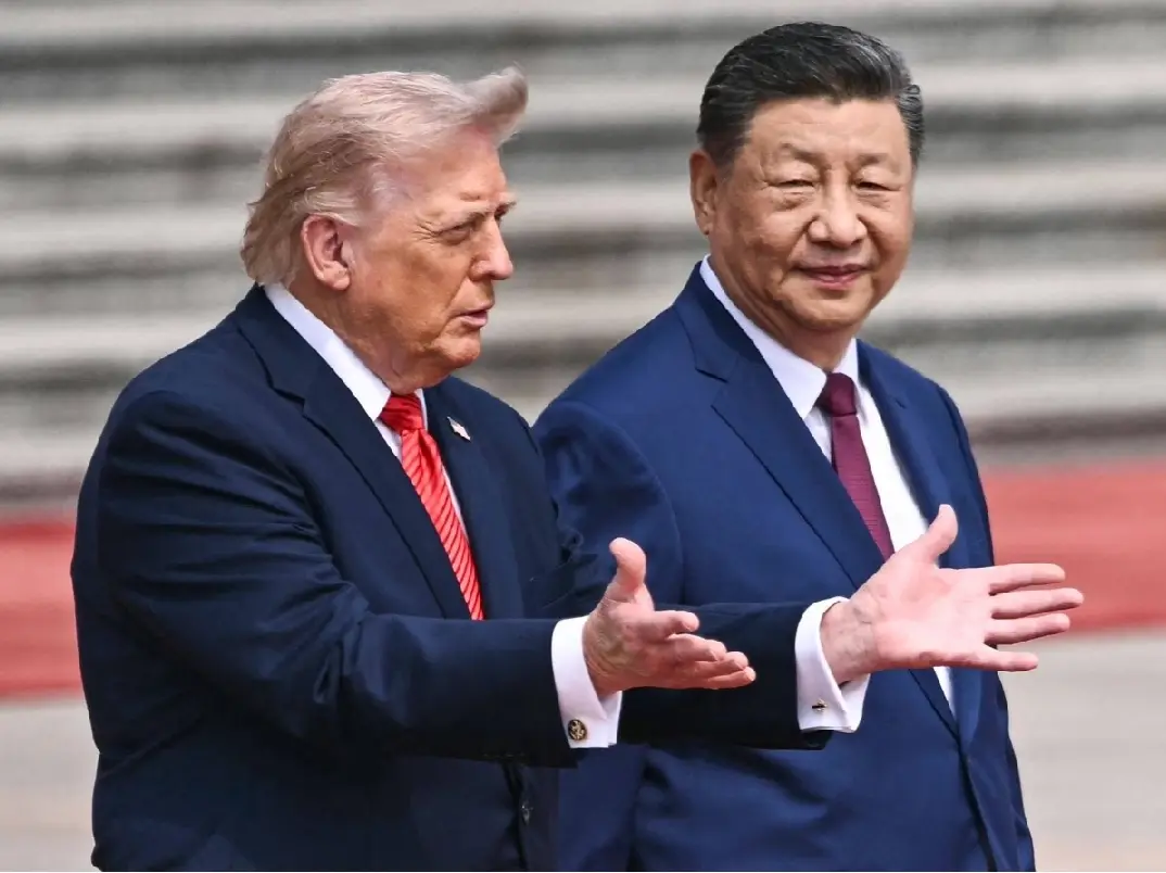
Trump-Xi summit: From trade to Taiwan, what will the US and Chinese presidents discuss in Washington?
)
Cyclone Arnab: Landfall expected before midnight tomorrow as IMD issues orange alerts across six states
)
ICC plans T20I expansion and fewer ODIs in 2027–2031 FTP cycle: Report
)
US-China tech war: Businesses in the front line
)
Gravitas | Boosting NHS productivity could save 20,600 lives in UK annually: Report
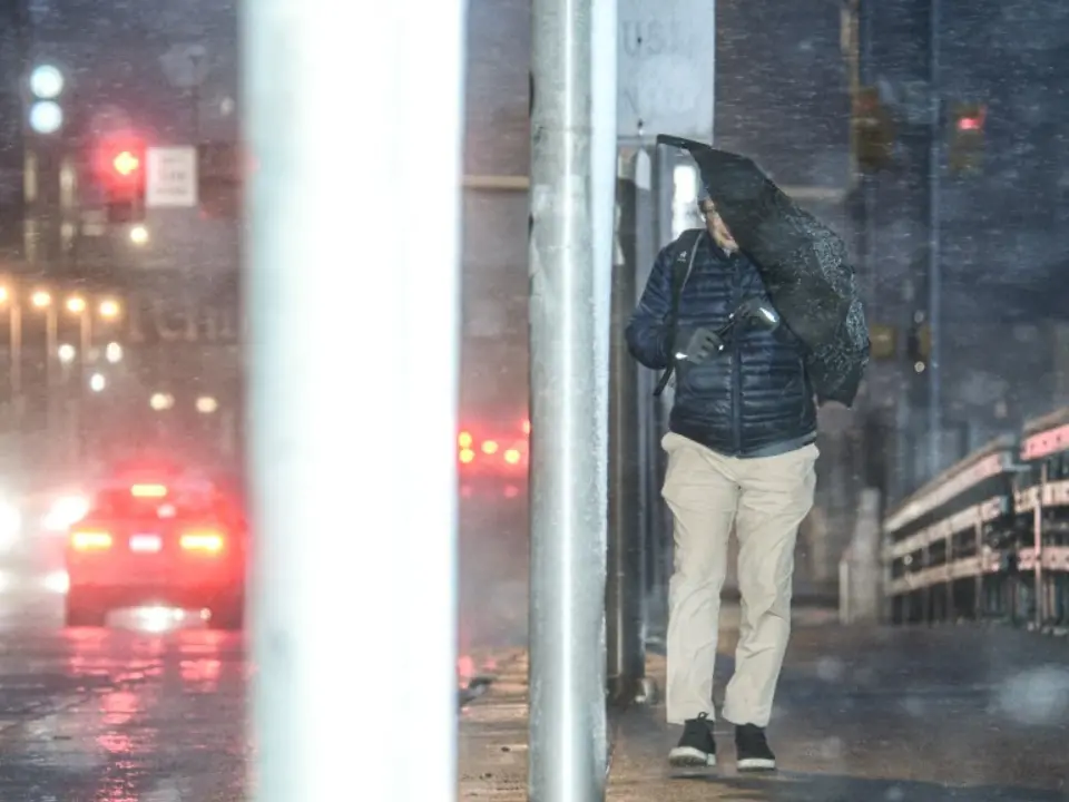)
Nor'easter could batter 13 US states this week. What you should know
)
WION Iconic Tourism Summit: Seychelles envoy says India partnership is important for Seychelles
)
US and China vie for AI dominance as calls grow for regulation | Gravitas
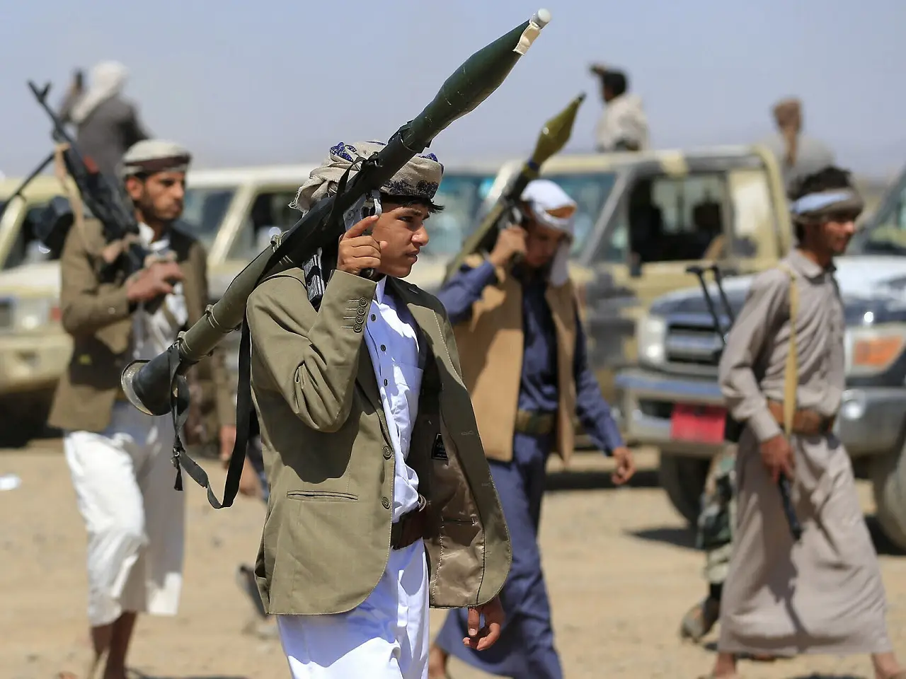)
Yemen clashes kill 154 people in two days as cornered Saudi battles Houthi offensive | Gravitas
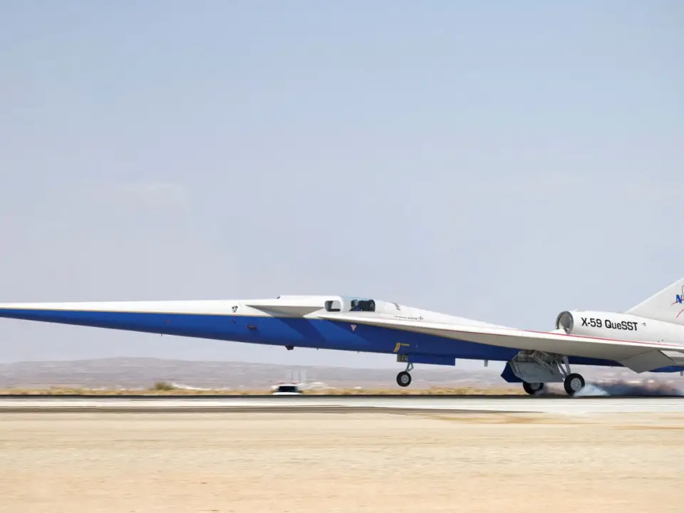)
China to test supersonic jet that moves at Mach 2, double the speed of sound
)
Bomb scare in New York amid UNGA: Suspicious suitcase found near UN headquarters
)
IND vs JPN, one-off T20I: Japan captain Kendel on pushing India to the brink - ‘It was special’
)
Mikel Arteta verbally agrees to three-year extension with Arsenal after title-winning Premier League season
)
WION Iconic Tourism Summit and Awards 2026: Key voices to discuss India’s tourism future
)
WION Iconic Tourism Summit and Iconic Awards 2026: India's travel economy leaders gather in Delhi
&im=FitAndFill=(700,400))
New OTT releases this week (September 21-27, 2026): Shaque: Trust No One, Hunkkaar, Don’t Be Shy- 5 new titles coming to Netflix, Prime Video and more
)
81st UN General Assembly: Burnham announces UK-US AI defence tie-up
)
Trump calls on nations to quit ‘rogue’ and ‘out-of-control’ International Criminal Court, rips UN
)
Infections transmitted from pregnant woman linked to autism risk
)
'What kind of confession is this?': Pakistan PM Shehbaz Sharif’s 'terrorists would be roaming New York' remark goes viral, raises alarm online. Watch
)
Elephants hide behind trees, stage surprise attack on poachers targeting rhinos in South Africa
)
IIT Bombay professor Suryanarayana Doolla sent on leave amid Sahil Wakode death probe
&im=FitAndFill=(700,400))
National Film Awards 2026: Kartik Aaryan, Mammootty, Yami Gautam, Randeep Hooda and other key winners
)
El Niño 2026 heats up to become strongest in 1,000 years
)
Anne Hathaway to run in supporting race for Nolan's epic
)
Over 4,200 books withdrawn from circulation in J&K colleges, 94% from Kashmir
)
From Gaddafi tearing up UN Charter to Trump’s ‘escalatorgate’: Most unforgettable UNGA moments
)
Explainer: Why rare-earth export licences and Board of Trade are US priorities ahead of Trump-Xi summit
)
Asia prepares for record El Nino, food shock
)
Forget apps: Qualcomm CEO says AI agents will change how we use smartphones
)
Four female students raped during 'Red Zone' at California university. What we know
Locating subsurface water is key to determining the planet's potential for life, as well as providing a permanent resource for any human exploration there.
Other Tianwen-1 images include photographs of the 4,000 kilometres (2,485-mile) long canyon Valles Marineris, and impact craters of highlands in the north of Mars known as Arabia Terra.
Also read |NASA to test 3 nuclear fission plant designs on the Moon to power Martian and deep space exploration
Tianwen-1 also sent back high-resolution imagery of the edge of the vast Maunder crater, as well as a top-down view of the 18,000 metres (59,055-foot) Ascraeus Mons, a large shield volcano first detected by NASA's Mariner 9 spacecraft more than five decades ago.
WATCH WION LIVE HERE
You can now write for wionews.com and be a part of the community. Share your stories and opinions with us here.