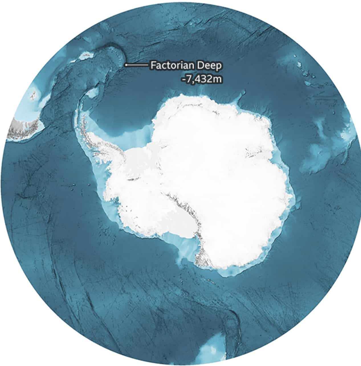
Scientists map Antarctic ocean, reveal never-before-seen visuals

Seabed 2030
Scientists have made a bathymetric chart mapping the ocean floor of Antarctica’s encircling southern ocean covering 48 million sq km.
Knowing the depth and shape of the seafloor is fundamental for understanding ocean circulation, tides, tsunami forecasting, fishing resources, sediment transport, environmental change, underwater geo-hazards, infrastructure construction and maintenance, cable and pipeline routing and much more.


The Southern Ocean surrounding Antarctica is a region that is key to a range of climatic and oceanographic processes with worldwide effects and is characterised by high biological productivity and biodiversity. Since 2013, the International Bathymetric Chart of the Southern Ocean (IBCSO) has represented the most comprehensive compilation of bathymetry for the Southern Ocean south of 60°S. Recently, the IBCSO Project has combined its efforts with the Nippon Foundation -GEBCO Seabed 2030 Project supporting the goal of mapping the world's oceans by 2030.
Seabed 2030 is a collaborative project between the Nippon Foundation, a Japanese non-profit philanthropic organisation and the General Bathymetric Chart of the Oceans(GEBCO), an international group of mapping experts. It aims to bring together all available bathymetric data to produce the definitive map of the world ocean floor by 2030 and make it available to all.
The project was launched at the United Nations (UN) Ocean Conference in June 2017 and is aligned with the UN's Sustainable Development Goal #14 to conserve and sustainably use the oceans, seas and marine resources.
)
What’s in a name? Trump’s 'Lake America' move gets a tit-for-tat response from Canada
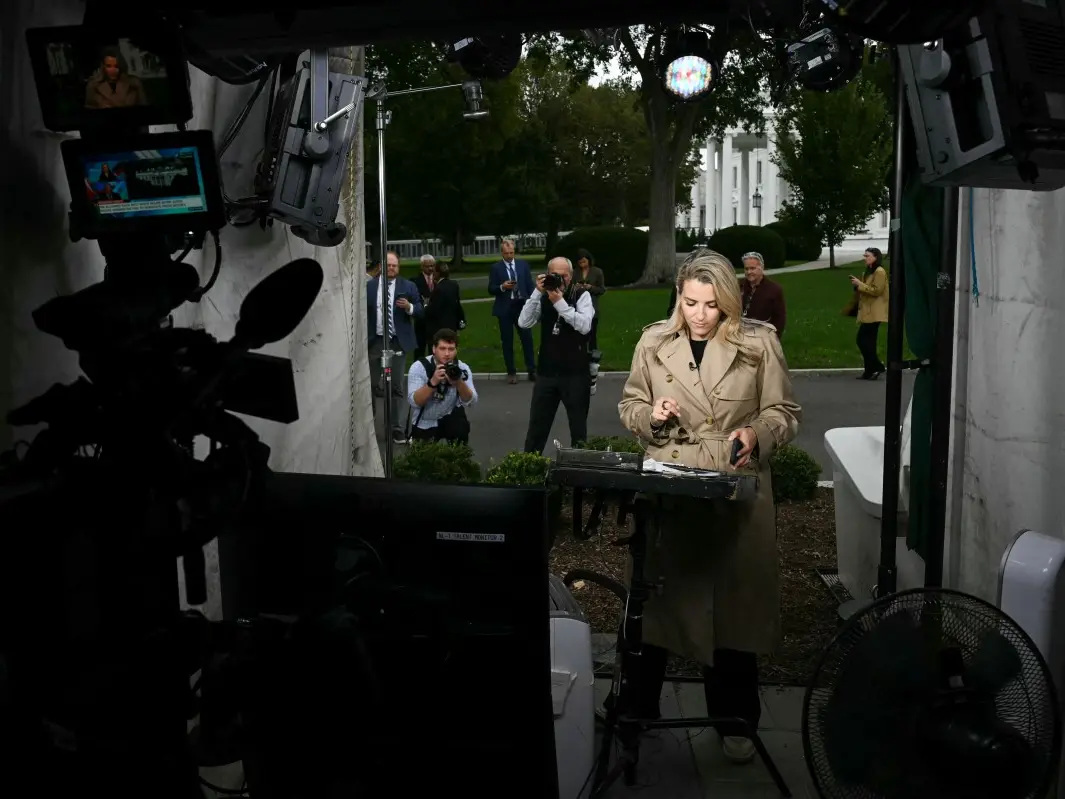)
CNN, Politico and MS NOW back in White House after judge blocks Trump’s media ban
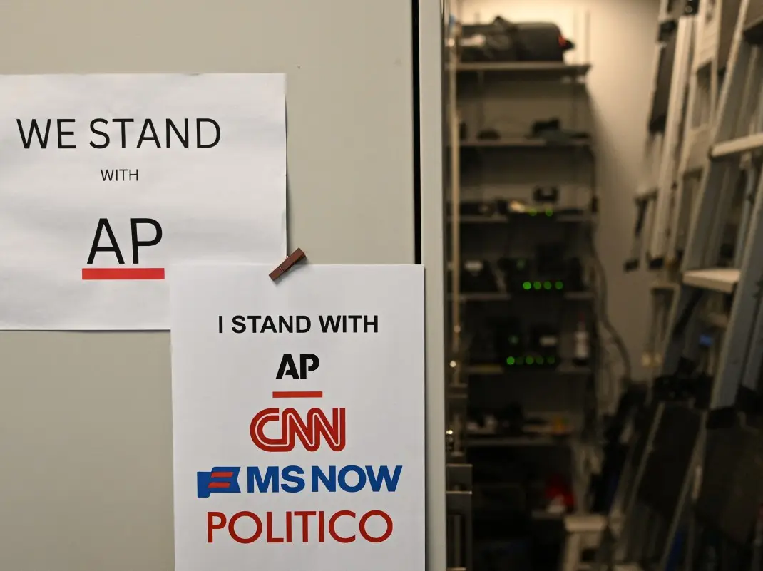)
US judge questions Trump’s decision to ban CNN, MS NOW and Politico from White House
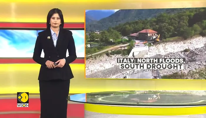)
Italy hit by floods in the north, drought in the south
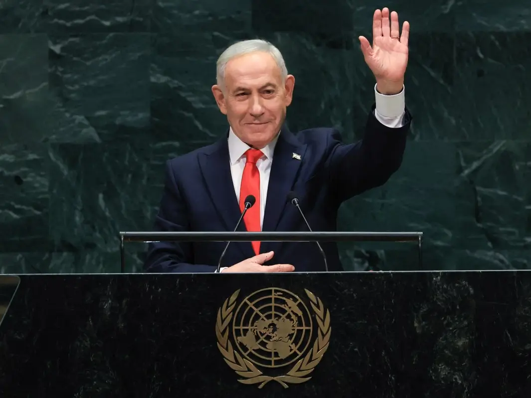)
'We would all be dead': Netanyahu defends decision to strike Iran's nuclear facilities in his UN speech
)
Mumbai Indians appoint Luke Williams as head coach for Women’s Premier League
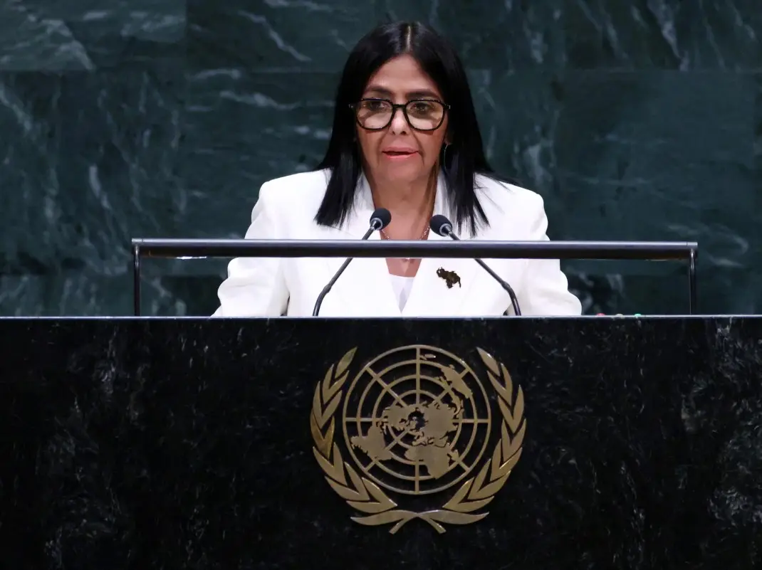)
'There will be elections': Venezuela's interim leader Delcy Rodriguez makes big announcement at UN
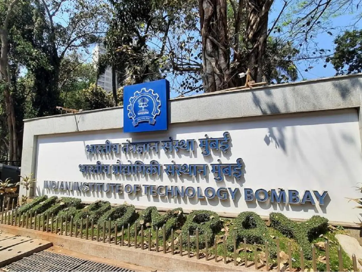)
IIT Bombay CCTV footage emerges: Sahil Wakode seen looking at phone in examination hall
)
Welcome actor Mushtaq Khan dies at 56 after battling cancer
)
Shah Rukh Khan is India's richest actor, Amitabh Bachchan is second: Hurun List 2026
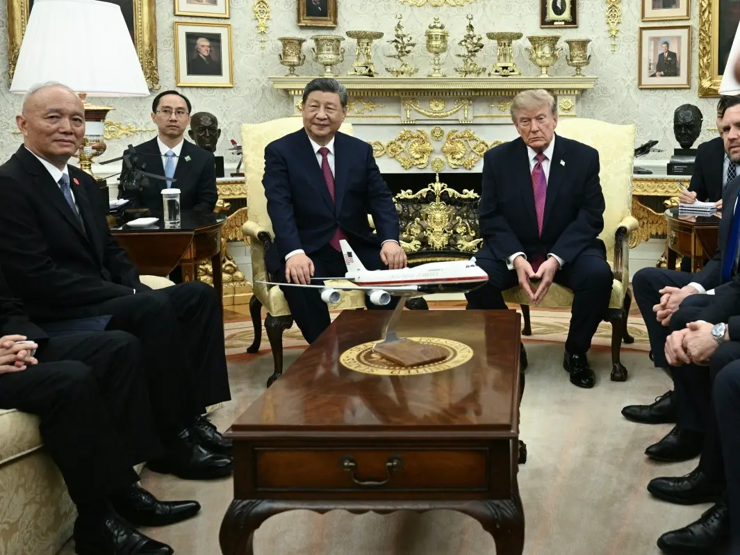)
Trump's welcome to Xi demonstrates 'attraction' to dictators: Chuck Schumer
)
WION Iconic Tourism Summit 2026: Union Minister Shekhawat on 'experiential travel', peace diplomacy
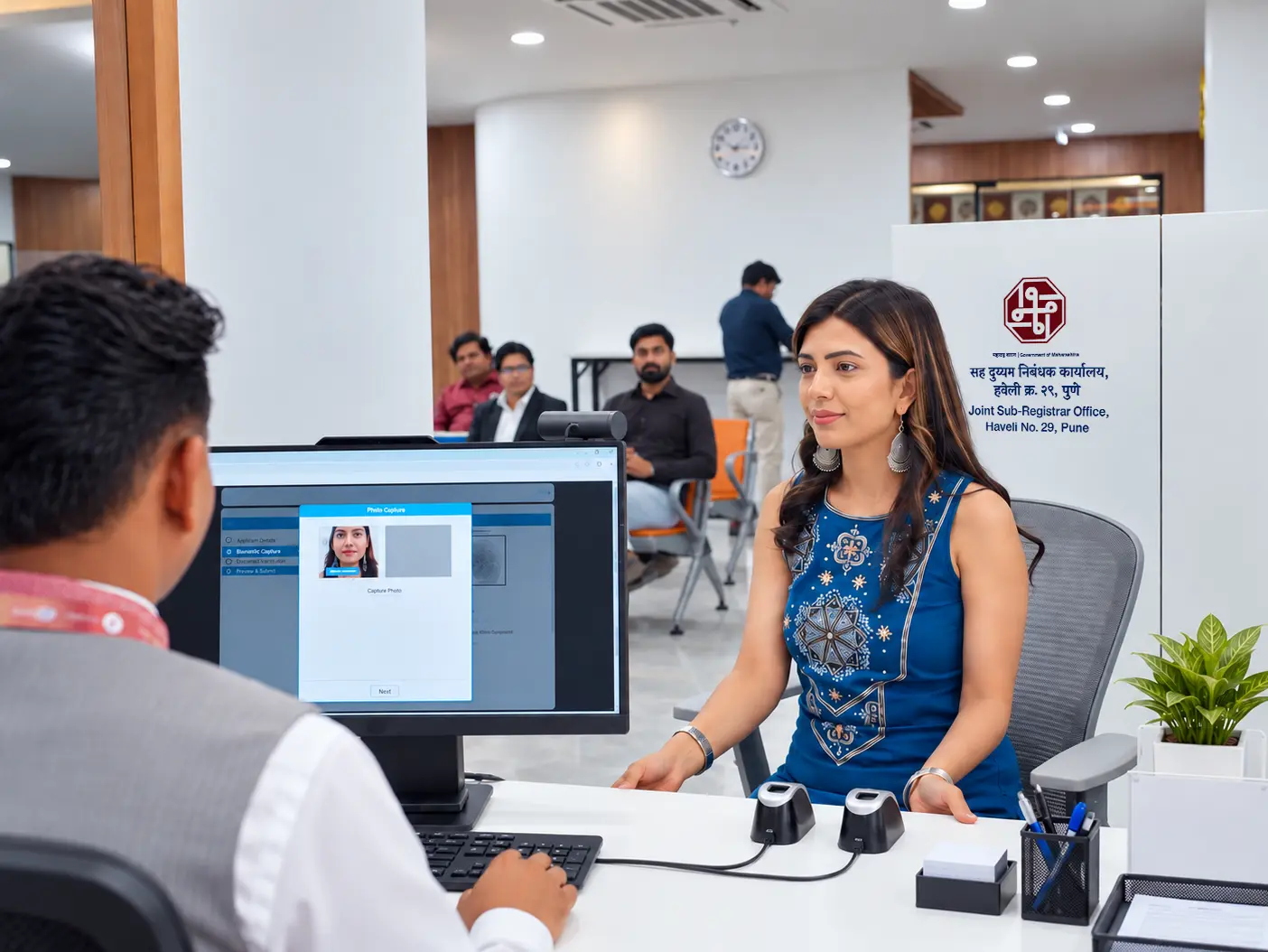)
Property registration becomes faster, convenient as model sub-registrar offices open in Maharashtra
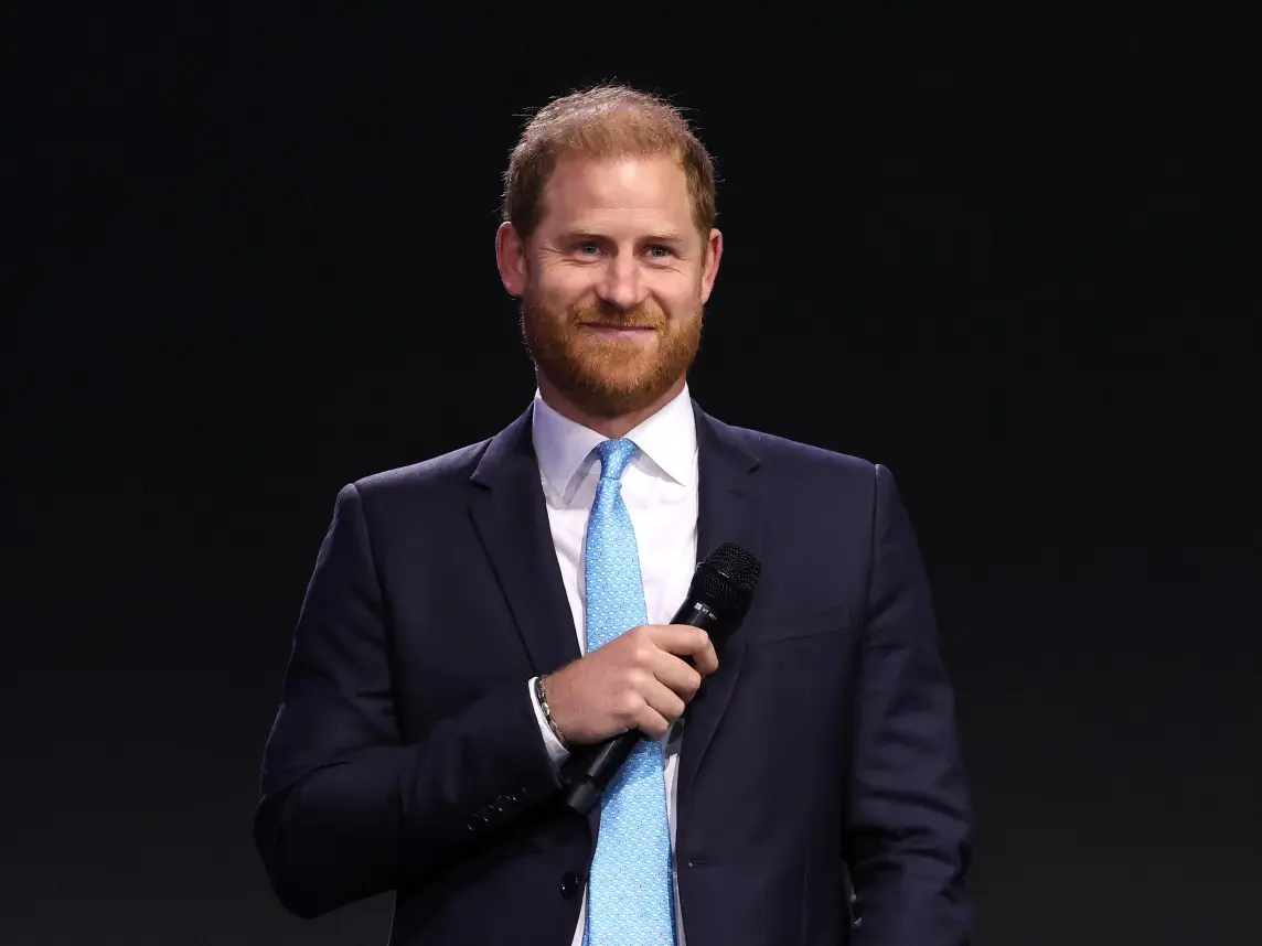)
'AI got into my speech': Prince Harry jokes after teleprompter failure at event in New York
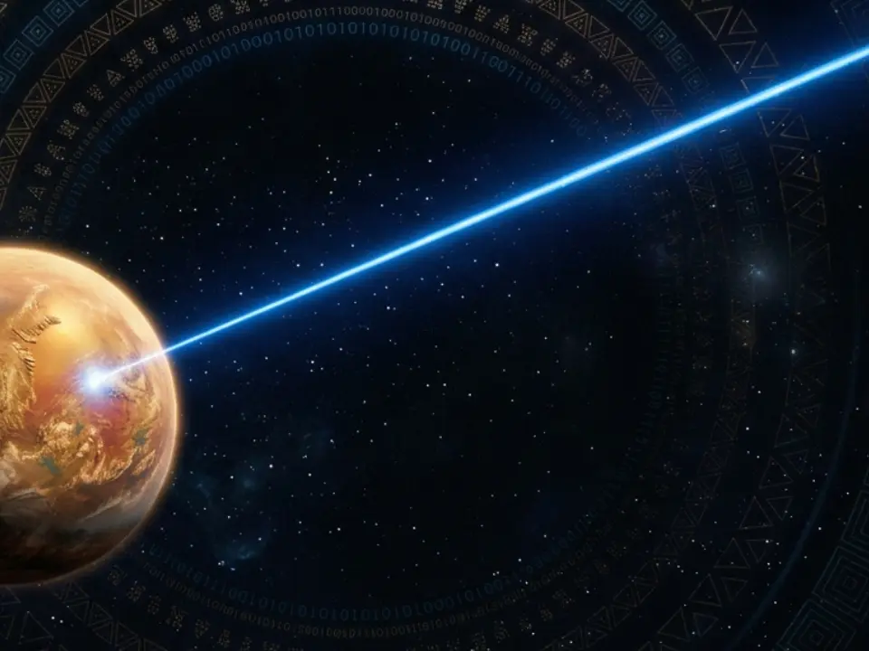)
Scientists detect first radio signals directly from faraway planet
)
What’s on the menu? Inside Trump’s lavish White House state dinner for Xi
)
China to test supersonic jet that moves at Mach 2, double the speed of sound
)
Xi Jinping's 'special plane' vs Trump's Air Force One: What's the difference?
)
Forget the smartphone: This tiny gadget could be Meta’s answer to the post-smartphone era
)
'Partners rather than rivals': Xi Jinping's first message after landing in US for Trump summit
)
Yemen called Trump for US military support in fight against Houthis: Official
)
WION Iconic Tourism Summit: Is India's travel boom outrunning its airports, airlines and hotels?
)
2,000-foot tube, laser tests and more: China builds towns to expand nuclear arsenal, satellite images show
)
Meet Adrian Abraham: 9-year-old Indian-origin guitar prodigy aiming for a Guinness World Record
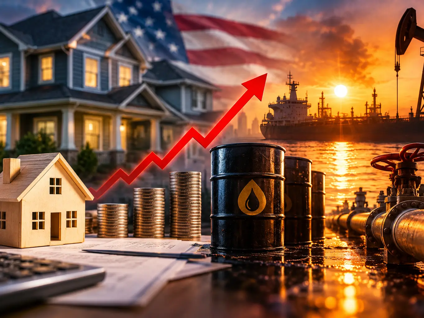)
US faces fresh cost crunch as mortgage rates hit 7%, oil tops $107 and gas prices surge
)
Trump-Xi state dinner 2026: Who is invited? Full guest list of tech CEOs, business leaders and officials
)
Australian PM Anthony Albanese calls OpenAI AI incident 'unacceptable' after restricted data access
)
'What kind of confession is this?': Pakistan PM Shehbaz Sharif’s 'terrorists would be roaming New York' remark goes viral, raises alarm online. Watch
&im=FitAndFill=(700,400))
Netanyahu at UN: Mass walkout, attack on Mamdani and Iran threats | In Pics
)
Russia likely to target Spain, France and Italy in drone attacks, warns CIA: Report
)
WION Iconic Tourism Summit: How local tourism MSMEs must upskill for AI integration
)
Trump’s Board of Peace unveils $2.45bn Gaza plan,66 projects: But where’s the money?
)
‘Both will lose in confrontation’: Xi says US and China should ‘coexist in peace’
)
For the first time, the UN Security Council sat US and Chinese AI makers at the same table
)
EC appointment law: Why is the 2023 act controversial, and what happens next? WION explains
)
Israeli envoy to US Yechiel Leiter’s son critically injured in West Bank ramming attack
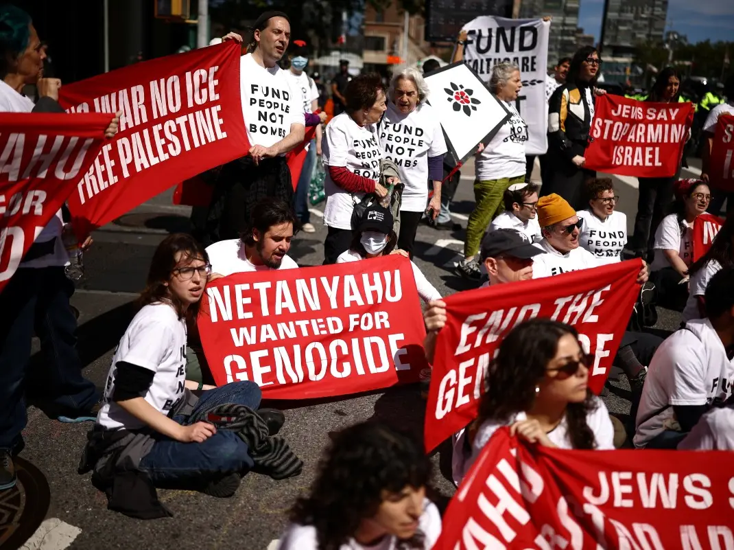)
'Fund people, not bombs': Hundreds take to New York streets as Netanyahu delivers speech at UN; dozens arrested
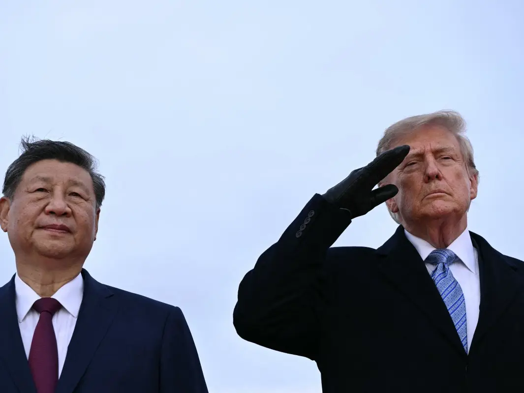)
WATCH | China President Xi Jinping lands in US as Trump greets him ahead of high-stakes summit
)
Hamilton wants to race in Middle East despite not knowing 'what risk levels are'
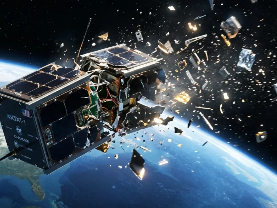)
US spy satellite from Cold War shatters 775 km above Earth
Despite many years of effort, less than 20 per cent of the world’s ocean seafloor has been mapped. A coordinated international effort is needed to bring together all existing data sets and to identify areas for future surveys - to help 'map the gaps'.
The Southern Ocean is a major component of the coupled ocean-atmosphere climate system and includes the largest ocean current on earth, the Antarctic Circumpolar Current (ACC). It is furthermore the most important ocean region for the uptake of anthropogenic carbon dioxide and heat from the atmosphere and cold and dense bottom waters form on the shelves surrounding Antarctica.
Interactions of the Southern Ocean with Antarctic glaciers and ice shelves are the main drivers of present, past, and future Antarctic ice sheet mass balance and thus global sea-level change. Biologically, the Southern Ocean is a high-productivity area with high biodiversity. The Southern Ocean is also one of the most remote and harshest areas of the world with extensive sea-ice cover and year-round severe weather conditions. Despite its remoteness and hostility, human activities are increasingly extending into this distant part of the world, examples including research, fisheries, and tourism.
Precise bathymetric information as e.g. provided by the International Bathymetric Chart of the Southern Ocean (IBCSO) and the Digital Bathymetric Model of the Drake Passage (DBM-BATDRAKE) is paramount to better understand the Southern Ocean and its processes as well as for human activities and conservation and management measures. IBCSO aims to provide the most comprehensive compilation of bathymetric data for this region.
[ with inputs fromInternational Bathymetric Chart of the Southern Ocean andNippon Foundation -GEBCO Seabed 2030 Project]
WATCH WION LIVE HERE
You can now write for wionews.com and be a part of the community. Share your stories and opinions with us here.