
&imwidth=800&imheight=600&format=webp&quality=medium "Weather system in Bay of Bengal to intensify, heavy-very heavy rainfall warning issued")
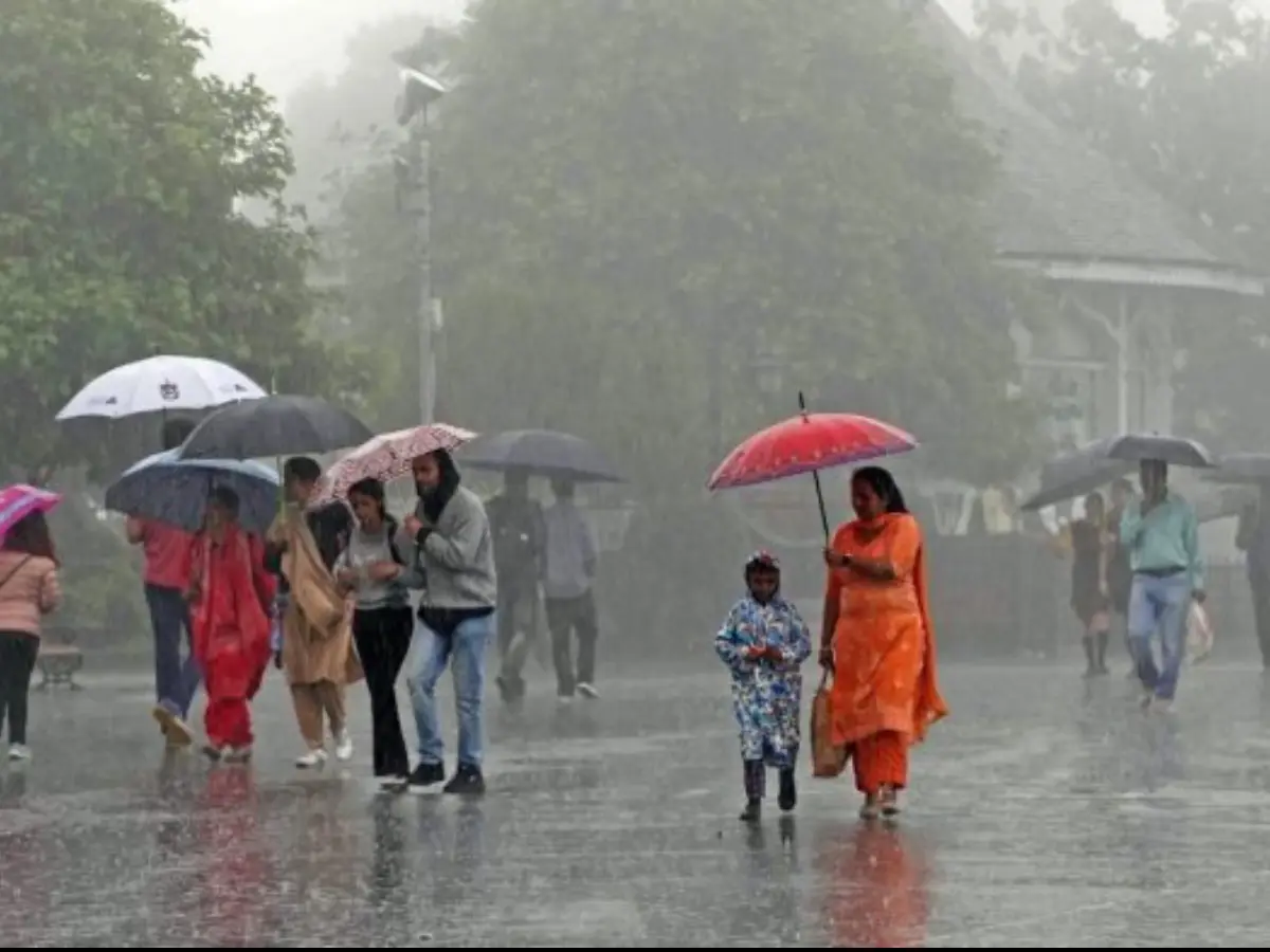
According to the Indian Meteorological Department (IMD), the Low Pressure area off India's southeast coast has intensified into a well-marked low pressure area on Tuesday, 21stOctober. By Wednesday afternoon, it s expected to further intensify into a depression off the North Tamil Nadu and South Andhra Pradesh coasts, and is likely to intensify further into a deep depression in the subsequent 24hours. Owing to this weather system, heavy to very heavy rainfall has been forecast for large parts of coastal Tamil Nadu, including Chennai and adjoining districts.
In meteorology, a low-pressure area is one where the atmospheric pressure is lower than the surrounding areas. It is associated with cloud formation, increased, humidity and rainfall. It causes moderate rain, cloudy skies. A depression is an intense low-pressure area that brings moderate to heavy rainfall, thunderstorms, gusty winds.
Already, locations in Tamil Nadu’s Ramanathapuram district have recorded upto 17cms of rainfall over the last 24 hours, and 22 locations across the state have witnessed 7-11cms of rainfall.

The rainfall warning for several districts across Tamil Nadu spans from 21stOctober, Tuesday to 24thOctober, Friday. The most intense spells of rainfall are forecast on Tuesday and Wednesday, as the forecast indicates there could be
7-21cms or more rainfall during a 24-hour period in several districts.
Owing to the evolving weather system, fishermen have been advised to not venture out at sea through this week, as winds would be gusting at 55-70kmph along the Tamil Nadu coast and the South Andhra Pradesh coast. Fishermen who are out at sea have also been advised to return to shores.
Trending Stories
)
Nigeria: Protesters take to the streets, police fire shots
)
US-Iran war: Tehran draws red lines — seven demands before any peace talks
)
Russia-Europe tensions: Polish PM warns Russian attacks could test NATO's unity
&im=FitAndFill=(700,400))
‘Not the US or China’: These are the countries leading the world in arable land
)
EXCLUSIVE | Singer Hanita Bhambri on her Toxic debut, working with Vishal Mishra and more
)
Sikh bus driver assaulted, bus stolen and rammed into cars in England; video surfaces
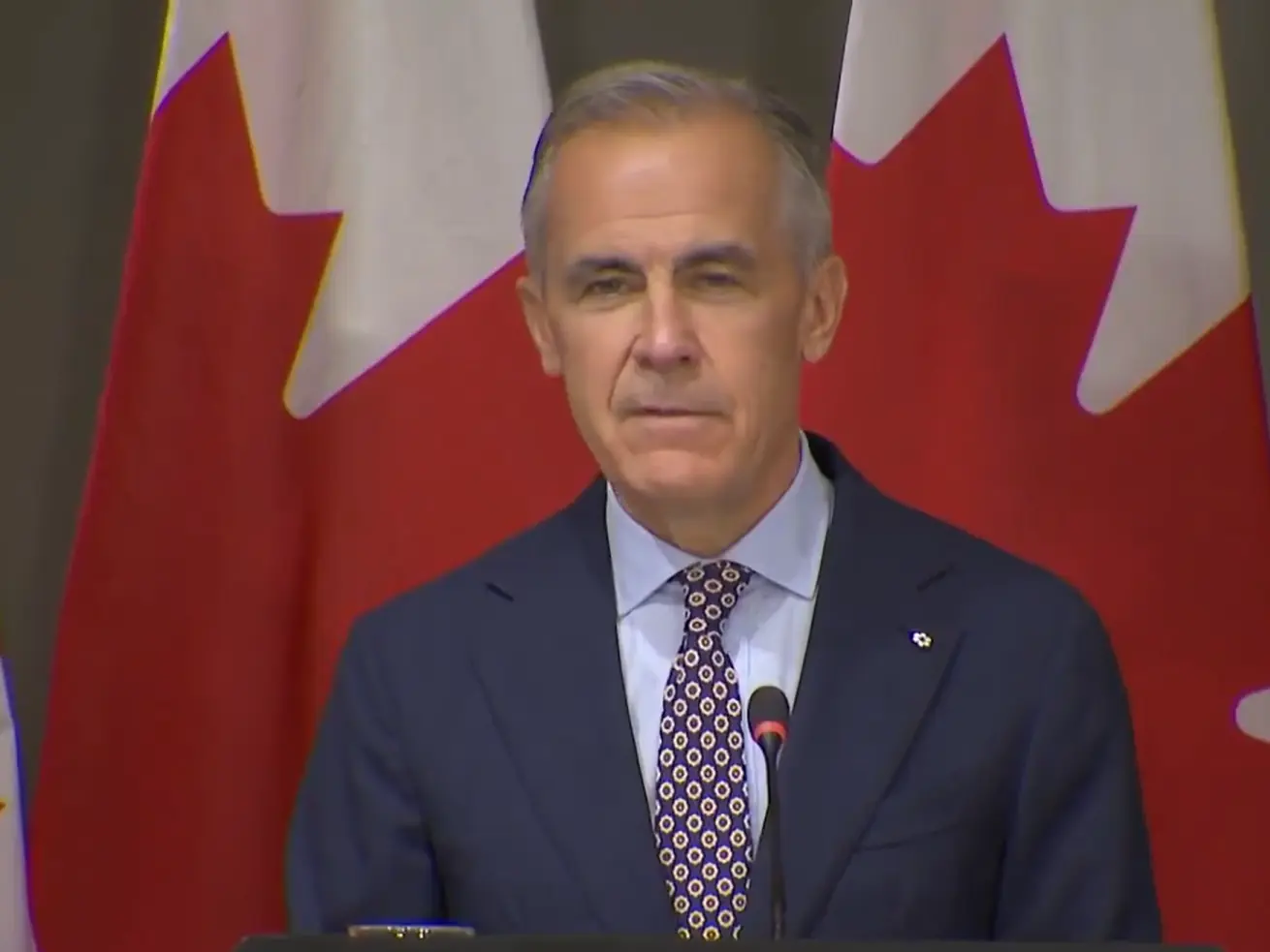)
Mark Carney mimics Trump in hilarious moment over C$70 billion clean-energy investment; room erupts in laughter
&im=FitAndFill=(700,400))
Before Extraordinary Minami Minami, these popular K-dramas got Japanese versions
)
'Were you here to sell chickpeas?': Wasim Akram criticises Babar Azam's captaincy
)
Aravana prasadam shortage at Sabarimala temple in Kerala triggers protests, TDB questioned
)
‘End of my career...’: NSA Doval recalls tense Sikkim mission when China captured Indian intelligence team
)
Report: Iran rebuilding Taleghan 2, nuclear site tied to past weapons research, hit twice by Israel
)
Trump defends AI amid growing alarm, announces new 'AI force' and promises an 'AI czar'
)
Iran sets 7 conditions to end war with US: What are Tehran’s demands?
)
Trump announces ‘AI Force’ as debate grows over AI risks and regulation
)
China may have gained access to US's classified F-35 jets; parts meant for repairs diverted to Hong Kong, sparking Pentagon inquiry
)
Man breaks open wall hiding hundreds of books since 15 years
)
Gaza under attack: Health chief's son killed in IDF strikes
)
S Jaishankar, former Army chief among high-profile names issued Delhi SIR notices
)
Arvind Kejriwal, family members, Delhi CM Rekha Gupta get SIR notices
)
AI actress Tilly Norwood glitches mid-interview, switches from English to Chinese | Watch
)
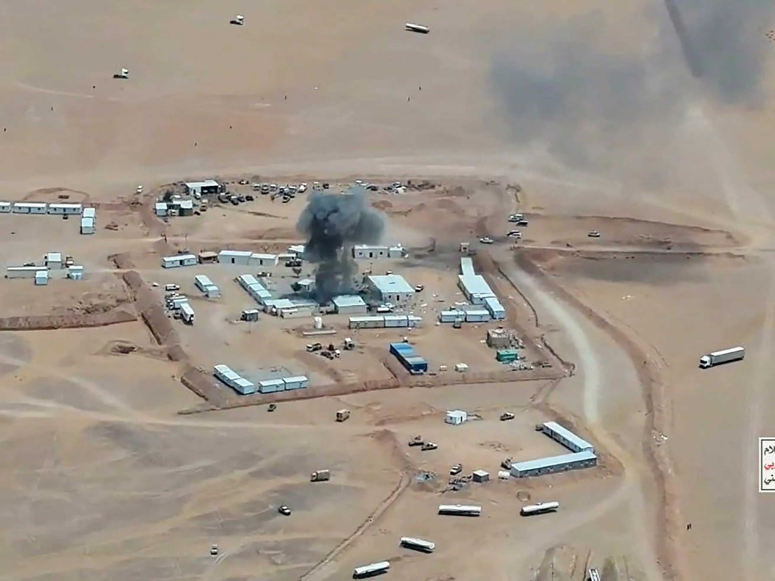
Saudi vs Houthis: Houthis claim missiles & drones used in attack on key Saudi sites
)
Ed Sheeran addresses Macklemore's removal, Gaza conflict during Philadelphia concert: 'I cannot hide how I feel'
)
‘Will go to any extent’: Pakistan vows to defend Saudi Arabia amid Houthi attacks
66 years of the Indus Waters Treaty: How India and Pakistan settled a bitter river dispute
)
The Verdict | When precision fails: US commits war crime in Minab school strike, UN finds
)
9 women found dead near Johannesburg: South Africans rally, demand 'enough' to femicide
)
Kampala-Ankara rift deepens: Uganda suspends military ties, seeks Fred Lumbuye's extradition
)
Several petrol pumps, other businesses to refuse UPI payments above Rs 2,000 from Oct 16: Is it legal?
)
US-Iran war: Tehran sets seven conditions to re-engage in talks with US
)
Reacher star Alan Ritchson opens up about alleged blackmail, suicide attempt during difficult period
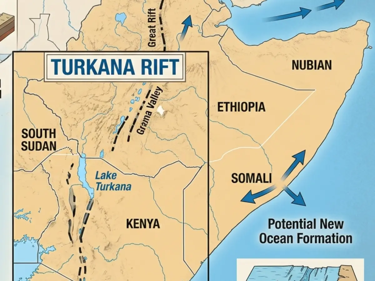)
Africa is splitting, and a lot sooner than estimated, giving way to a new ocean
)
West Indies Squad for India Series: Hetmyer included for T20Is, Holder rested
)
Trump bans CNN, MS NOW and Politico from White House over ‘FAKE NEWS’
&im=FitAndFill=(700,400))
How many F-35s does Britain, Japan and Israel have?
)
Harry Brook targets long reign at top of T20I rankings after Sri Lanka sweep
)
Russia's deadly Ukraine strikes kill 2 in Sumy, hit Dnipro mall
)
Russia holds first parliamentary elections since the beginning of the Ukraine war
&im=FitAndFill=(700,400))
Meet top 5 Indian batters with fastest T20I centuries
)
Raphinha hat-trick powers Barcelona to 3-1 win over Sevilla in La Liga
)
Meanwhile, the well-marked low pressure area off India's southwest coast is likely to intensify into a depression by Wednesday. Owing to this, rough sea conditions and gusty winds are to prevail along the Kerala-Karnataka coasts, through this week. Fishermen in that region have also been advised not to venture out.
It is on Thursday, 16thOctober that the IMD announced the start of Northeast Monsoon rainfall activity over India's Southeastern coastal region including Tamil Nadu, Puducherry & Karaikal, Coastal Andhra Pradesh, Rayalaseema, and Southwestern regions such as South Interior Karnataka and Kerala-Mahe.
Active between June and September, the southwest monsoon brings in the vast majority of India's annual rainfall. Likewise, the Northeast monsoon brings rains across parts of southeastern coast of India, in the final three months of the year. Also known as the retreating monsoon, the Northeast monsoon is the second major rainfall season in India, and is crucial for large parts of Tamil Nadu, Andhra Pradesh, Puducherry.
The two are related in such a way that the Northeast monsoon occurs when the southwest monsoon withdrawal, and the wind direction reverses. The Northeast monsoon sets in around mid-October and goes on till mid-December.
The Northeast monsoon caters for about 50% or more of the annual rainfall in Tamil Nadu and coastal Andhra Pradesh. This season is known for cyclonic storms or weather systems that form in the Bay of Bengal, which can lead to very heavy rainfall and potential flooding in parts of Tamil Nadu and coastal Andhra Pradesh. These rains are also crucial for recharging the water table and the reservoirs.

