New Nepal map goes to Upper House today as India dismisses Kathmandu's claims

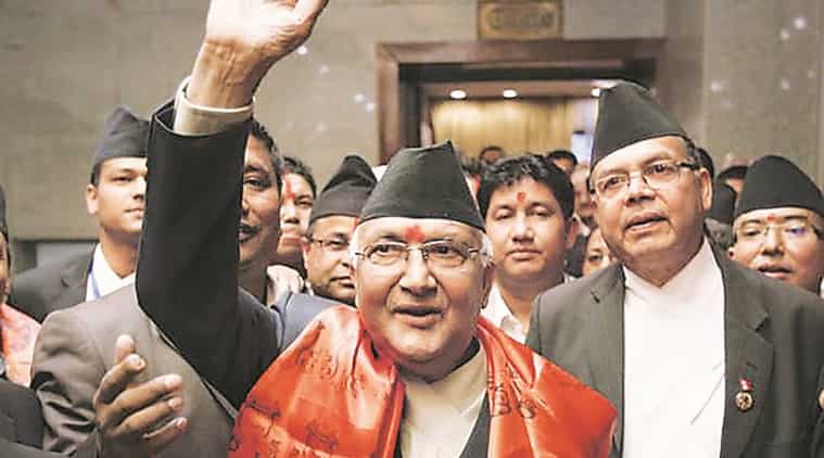
Nepal PM Oli
The controversial Nepal map will go to the Upper House of Nepal Parliament today for a discussion and later voting even as India said that Nepal has politicised the boundary issue after the lower house of Nepali parliament passed the Constitutional Amendment Bill revising the Coat of Arms with New Nepal map.
The new Nepal map issued by the Nepali government shows Indian territories of Lipulekh, Kalapani, Limpiyadhura as its own.

Sources in the Indian government said that the actions by Nepal "do not reflect any seriousness" on part of Nepalese government to resolve the issue via dialogue but are "myopic and self-serving to further a limited political agenda."
While reiterating that New Delhi has always stressed on the "resolution of the boundary issue through diplomatic dialogue" sources pointed out that India responded positively to the Nepalese side and conveyed its willingness to hold the talks in a "conducive environment and at a mutually convenient date" and reaffirmed commitment for the talk when "Nepal objected to the inauguration of Kailash Mansarovar road by Government of India."
Highlighting the haste in the passage of the constitutional amendment, government sources said Nepal has no historical facts or evidence to back its claim.
)
Mushtaq Khan dies at 56: When Welcome actor opened up about his salary for iconic role Ballu
)
US Supreme Court backs Trump administration's use of SAVE database to check voter citizenship
)
Heart of the Beast review: Brad Pitt leads a gripping tale of survival and loyalty
)
Outrage erupts after 3-year-old is married to 60-year-old man in Pakistan, link to her sister's murder being probed
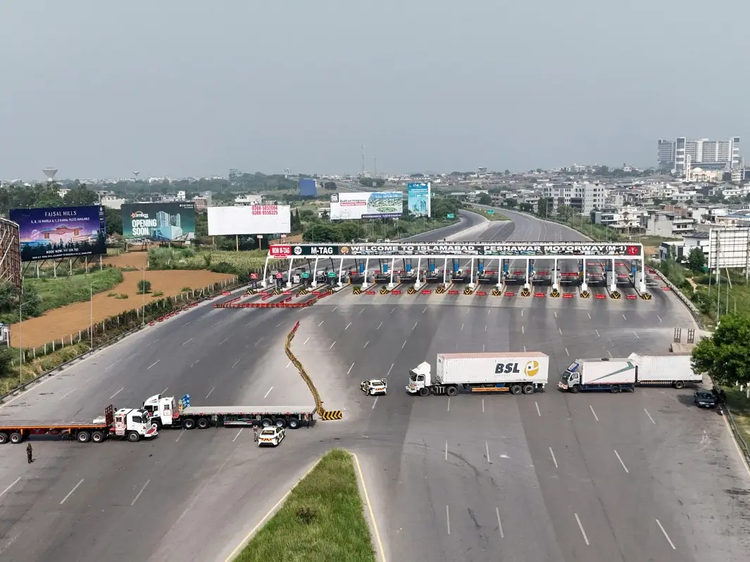)
Pakistan deploys over 20,000 security personnel as PTI vows march for Imran Khan's release
)
Asian Games: Shooting spree continues as India win silver in women’s 50m rifle 3P team event
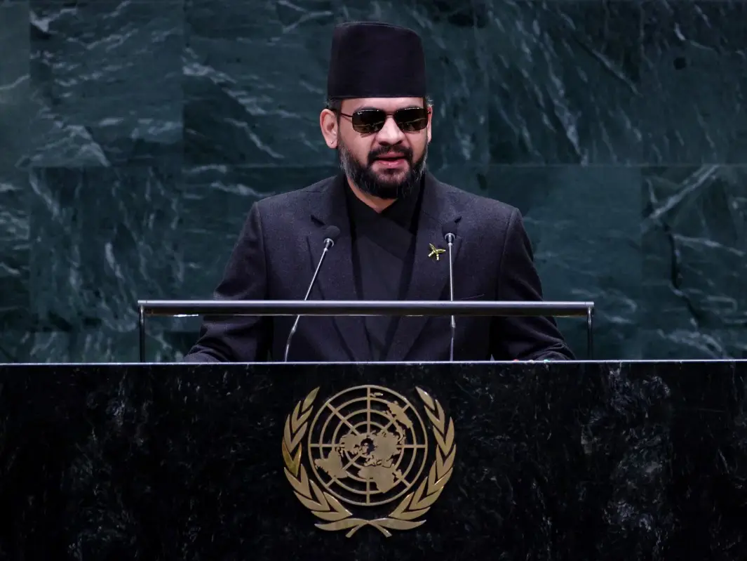)
‘Not just a local tragedy’: Nepal PM Shah warns UN of growing climate threat, says Nepal floods were 'a warning to the world'
)
OpenAI AI Agents hacked 4 websites before Hugging Face, researchers reveal
)
Pentagon quietly adds 37 wounded troops to Iran war tally without explaining when or how
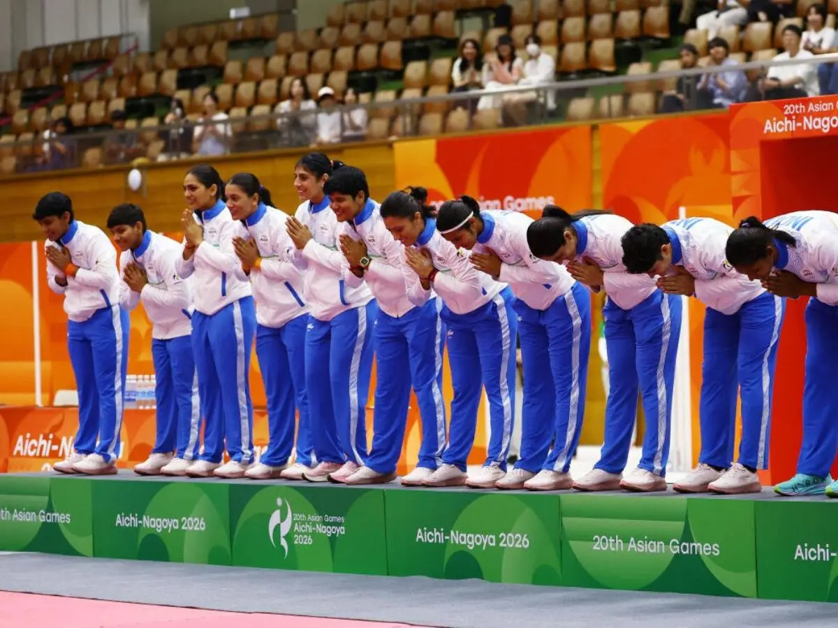)
Asian Games 2026: India women’s kabaddi team edge Iran 37-34 to clinch 3rd gold medal
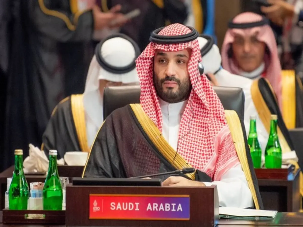)
Saudi Arabia still harbours intent to develop nuclear weapons, reveals US intelligence: Report
&im=FitAndFill=(700,400))
New Friday OTT releases (September 25, 2026): Don’t Be Shy, Hunkkaar: The Roar, Mango Pachcha- 6 movies and TV shows on Netflix, Prime Video and more
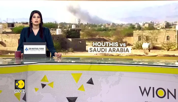)
Yemen's war escalates: Saudi-backed leader calls for general mobilisation against the Houthis
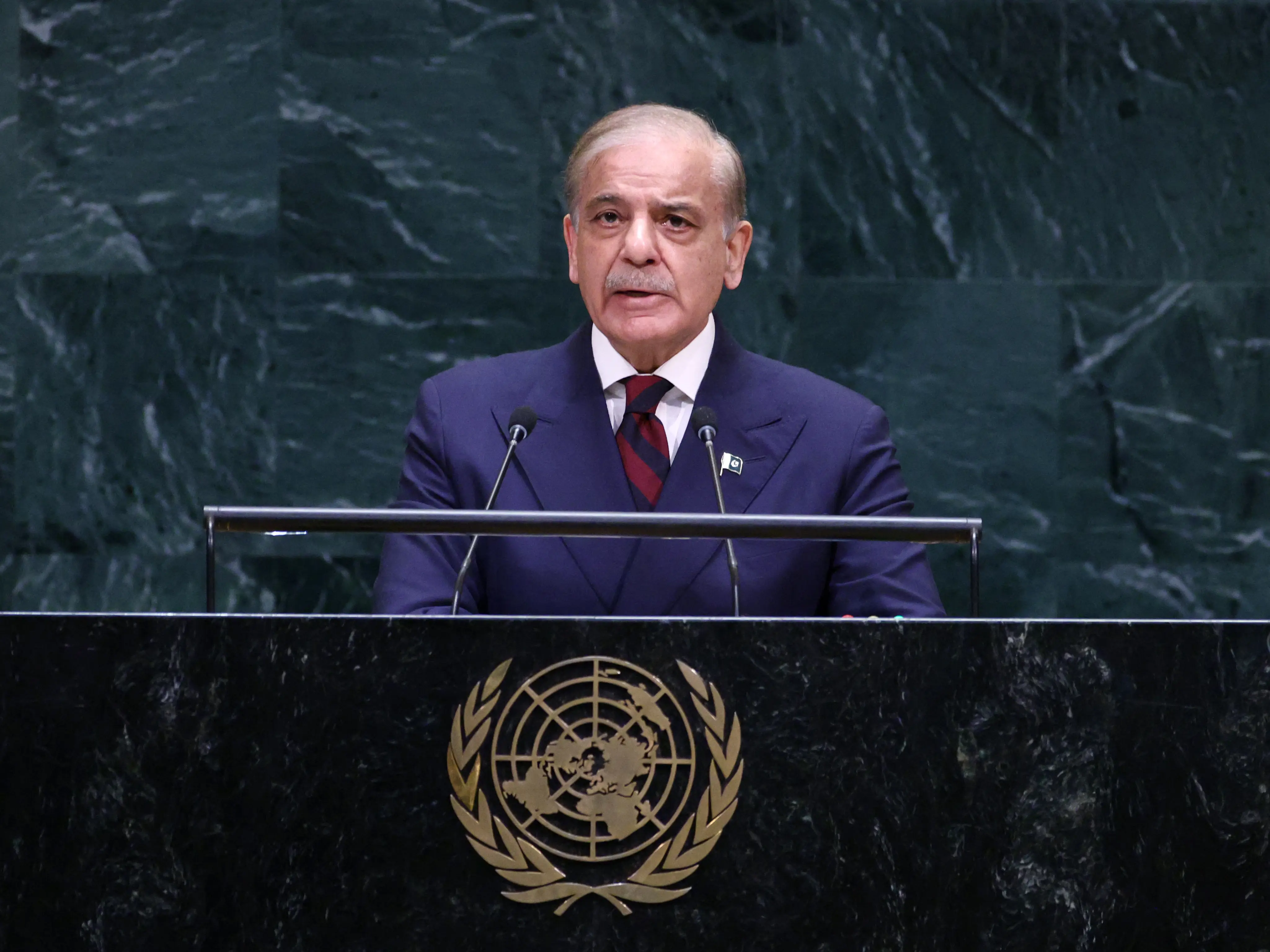)
‘Attack on Mecca a red line for Pakistan’: Shehbaz Sharif warns Houthis at UN
)
Tesla is preparing something big for Optimus: new Gen 3 models surface in app
)
Did Hitler kill his niece Geli Raubal? Newly found records reopen a 95-year-old mystery
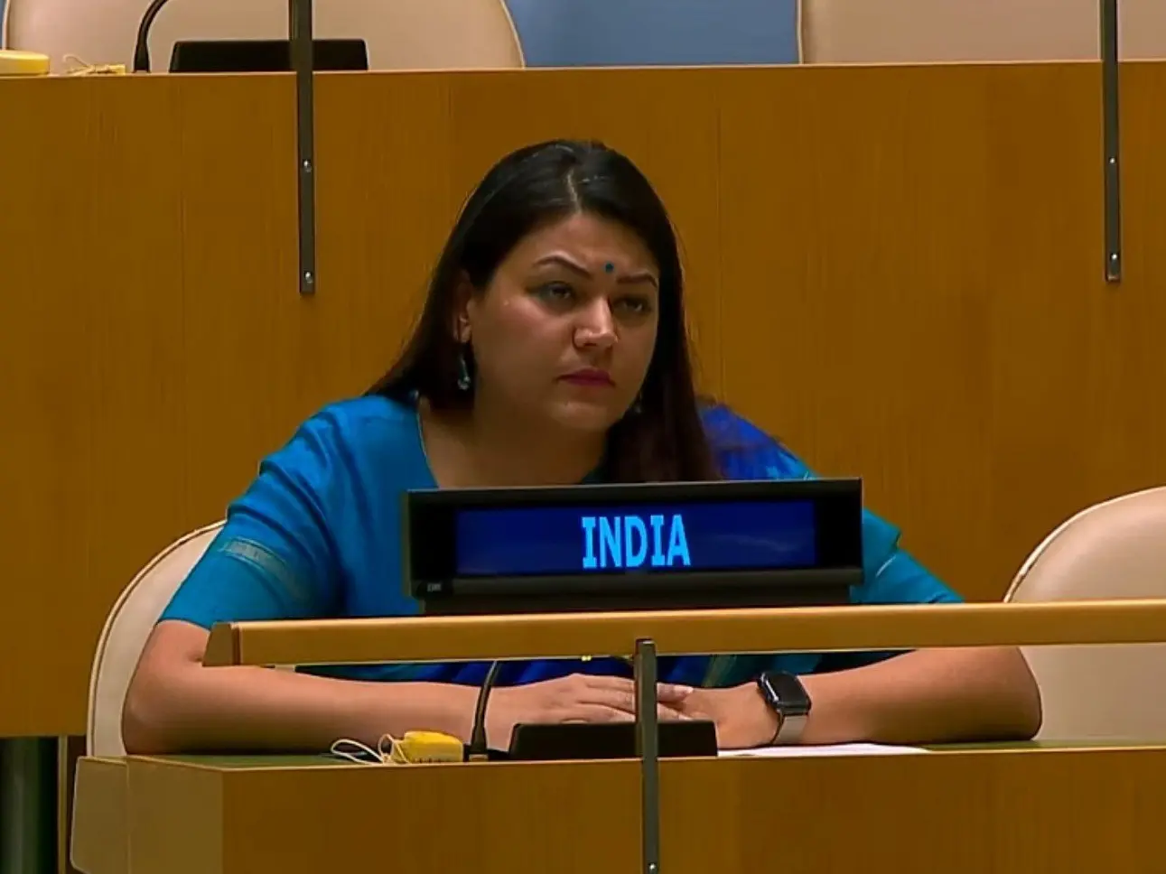)
Indian diplomat Petal Gahlot raises deteriorating situation in Pakistan-occupied Kashmir in right of reply at UN
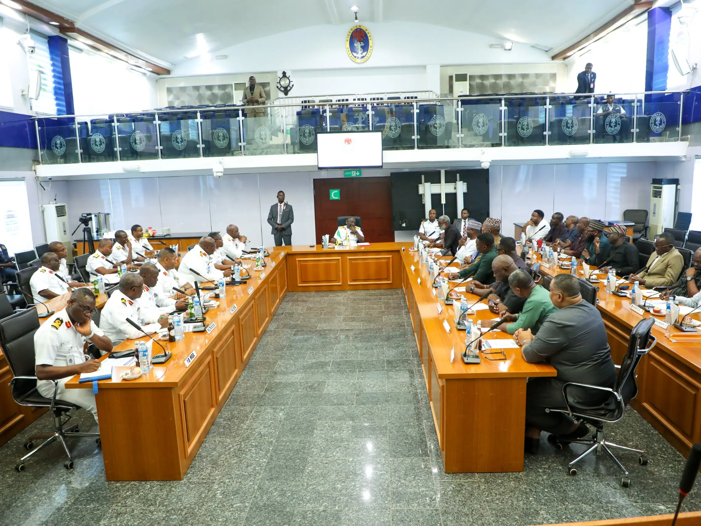)
Nigeria Navy moves to boost oil security, tackle crude theft and infrastructure threats
)
Scientists detect first radio signals directly from faraway planet
)
‘It is all possible’: Putin weighs next steps on Ukraine talks, rules out Europe conflict
)
10,000 gather in support of 87-year-old forcefully evicted from home of 71 years
)
India flags brutal violence in Pak-occupied Jammu Kashmir
)
Trump rejects Iran's 7-day ceasefire proposal as US weighs renewed bombing after midterms: Report
)
Red Sea crisis: Houthis promise not to target European ships; UNSC condemns Saudi attacks
)
Gaza's war turned environmental damage into second crisis
)
Saudi oil exports surge despite Iran war
)
Trump-Xi summit wrap: Big pageantry, Iran talks, few major developments and more meetings planned
)
'Making history': Xi Jinping praises Trump as US-China leaders dine at White House
)
India's UN Envoy slams Pakistan: 'They claim security by day, terrorism by night'
)
Jay-Z rape case: Accuser says allegations were false, never met rapper
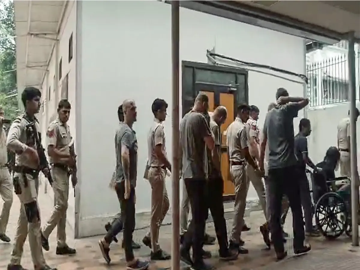)
Myanmar training camp case: US national, 6 Ukrainians allowed to meet their families abroad
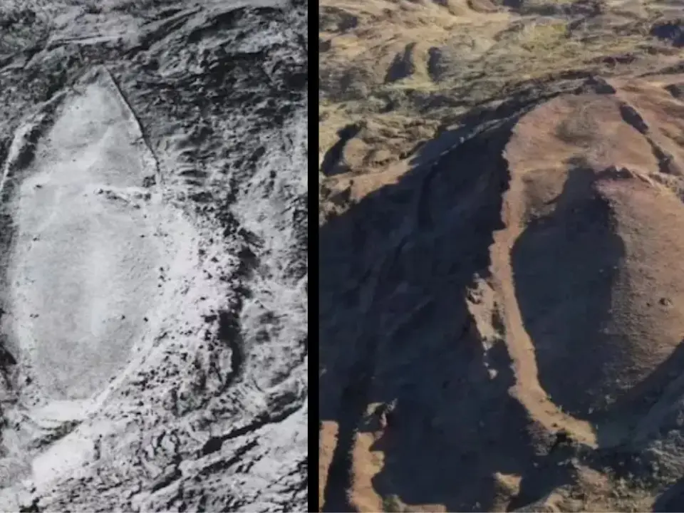)
'FIRST LOOK from inside Noah’s Ark': Researchers share video from inside mysterious mound in Turkey
)
Cindy Crawford’s son Presley Gerber cremated as death probe continues
)
India's insurance regulator overhauls policies
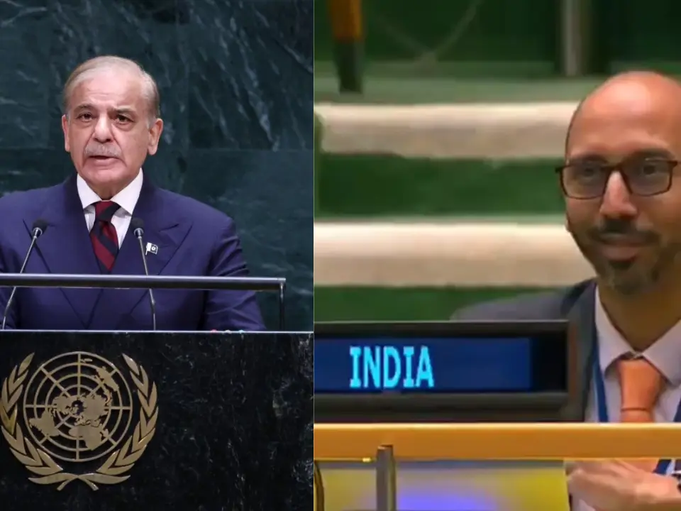)
WATCH | As Shehbaz Sharif claims Pakistan’s ‘victory’ during 2025 conflict, Indian diplomat R Srinivas laughs at UN
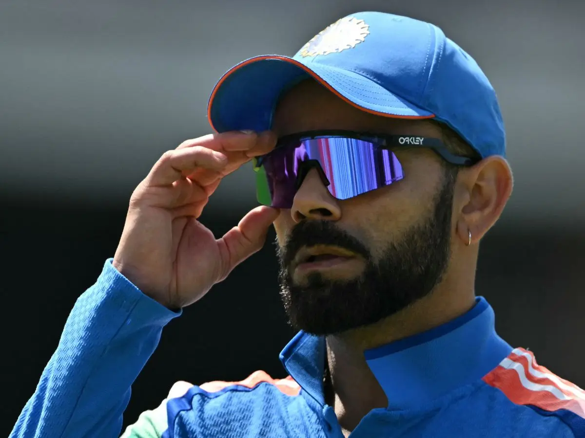)
‘Goal is to win it’: Virat Kohli confirms 2027 ODI World Cup will be his final tournament for India
)
'A terrorist country is asking me that question?': Jaishankar hits back at Pakistani journalist at UN; flags attacks on commercial shipping
)
US court backs Pentagon's decision to exclude Anthropic over Claude AI restrictions
The MEA was quick to react on the developments in Nepali parliament saying, "This artificial enlargement of claims is not based on historical fact or evidence and is not tenable. It is also violative of our current understanding to hold talks on outstanding boundary issues."
Referring to the 1815 treaty of Sugauli between the British Raj and the then Royal government in Nepal that, sources said Nepal renounced all claims to territories lying west of the Kali river under Article V of the treaty. Treaty of Sugauli defined the current borders of Nepal and according to it Nepal's border with India in the east runs according to the flow of river Kali.
While in 1817, Nepal made claim to the area and demanded the return of Tinkar, Chhangru, Nabhi and Kuthi villages, the first two were returned since they were east of Kali river. As for Nabhi and Kuthi, the then Governor-General of India had rejected Nepal's claim on it.
Nepal has been claiming its right on Indian territories on the basis of Kuthi Yankti and Lipugadh streams which flow into river Kali. Indian sources said it is incompatible with the Treaty of Sugauli and the 1817 decision of Governor-General of India, elaborating that when it comes to the source of the Kali river, which is one of the causes of the current dispute was also settled during that judgement by the Governor-General.
Sources explained that the current claim of the Nepali government is contrary to its own boundary treaty & protocols signed with China.
India, Nepal boundary issue was discussed at Joint Working Group level in 1997 and 1998 and In 2014 Foreign Secretaries for both the countries were mandated to work on the issues of Kalapani and Narsahi-Sustaand with technical inputs from Boundary Working Group as and when required.