Washington, Vancouver Island epicentres of future Cascadian earthquakes: Study

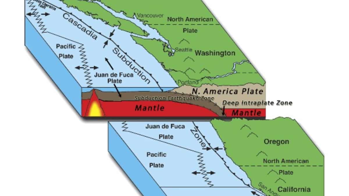
Cascadia Subduction Zone (Representative image)
The Cascadia megathrust, a formidable fault system capable of producing catastrophic magnitude 9 earthquakes, is poised to unleash its most severe impacts offshore of Washington state and Vancouver Island, according to recent data.
Cascadia megathrust is a major geological feature located off the Pacific Northwest coast of North America. It is a convergent plate boundary, or subduction zone, where the Juan de Fuca Plate is being forced, or subducted, beneath the North American Plate. This tectonic interaction has a potential for large earthquakes and tsunamis.
This revelation from the study emerged from the most extensive survey of the fault to date, published in the June 7 issue of Science Advances.

Unlike previous assumptions that portrayed the megathrust as a single, continuous fracture, the new data revealed that it comprises at least four distinct segments. Researchers identified the segment stretching from southern Vancouver Island through Washington state as the most perilous.
Also Read |Scientists find remains of smallest known great ape in Germany
Seismologist Edwin Nissen of the University of Victoria in British Columbia, who was associated with the study, said, “The Cascadia megathrust is a huge risk to people living in the Pacific Northwest," reported Science News.
)
Trump-Xi Summit: Trade, Taiwan and the red lines shaping US-China talks | Race To Power
)
US citizen injured in Illinois after ICE agents mistook him for fugitive, hospitalised
)
US judge questions Trump’s decision to ban CNN, MS NOW and Politico from White House
)
Afghan woman cyclist who disguised herself as a boy to escape Taliban, wins Asian Games medal
)
Italy hit by floods in the north, drought in the south
)
'There will be elections': Venezuela's interim leader Delcy Rodriguez makes big announcement at UN
)
Would you date an AI? South Korea’s My AI Partner: Strange Love sparks buzz on relationship and intimacy
)
'Arrogant parasites': Milei blasts UN over Falklands dispute, warns Argentina will ‘take matters into our own hands’
)
IIT Bombay CCTV footage emerges: Sahil Wakode seen looking at phone in examination hall
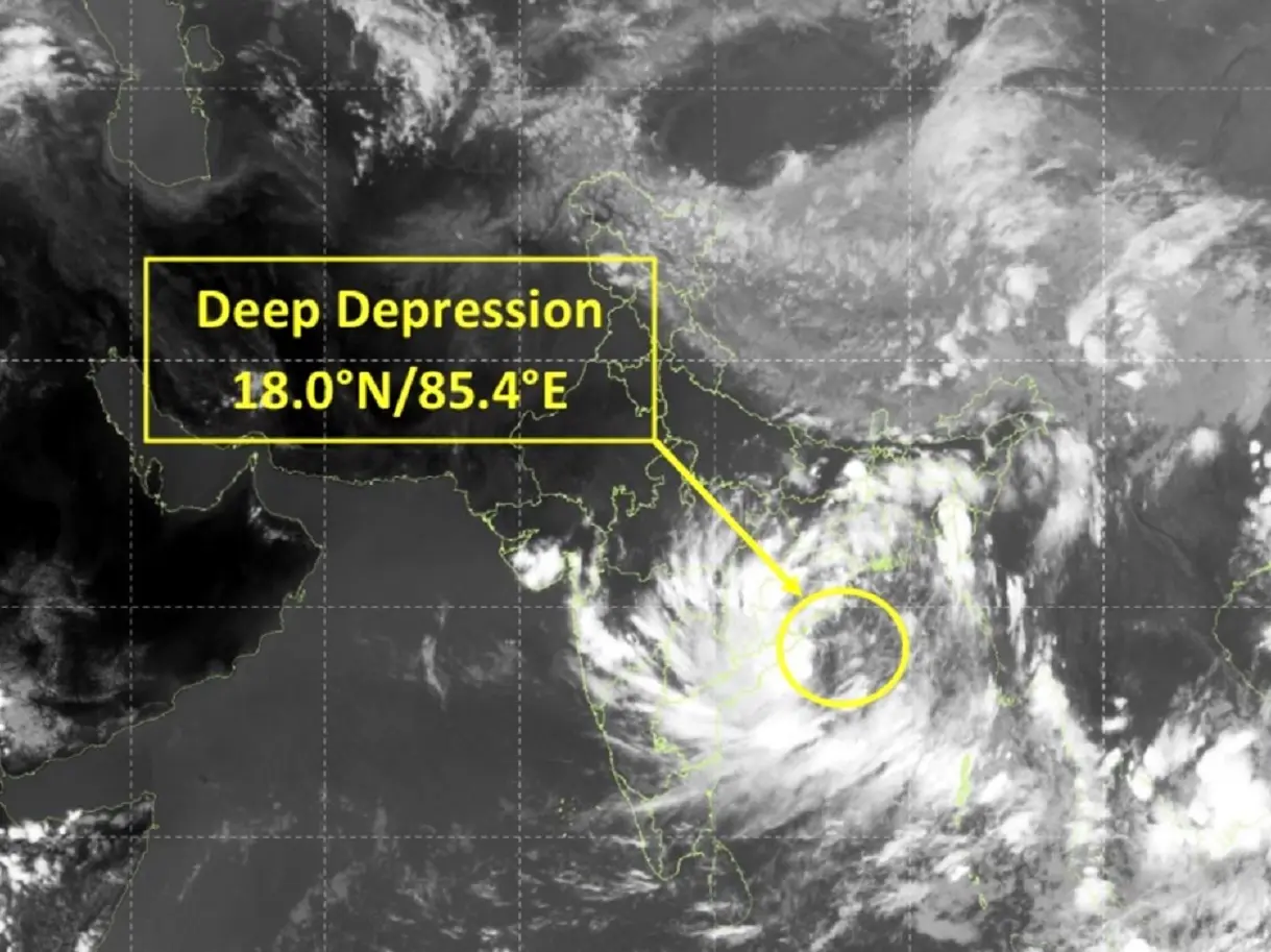)
Cyclone Arnab: Landfall expected before midnight tomorrow as IMD issues orange alerts across six states
)
9 killed, several injured as tourist bus catches fire on Yamuna Expressway
)
NBA player Steven Adams shares hilarious GTA VI theory
)
WION Iconic Tourism Summit 2026: Union Minister Shekhawat on 'experiential travel', peace diplomacy
)
'AI got into my speech': Prince Harry jokes after teleprompter failure at event in New York
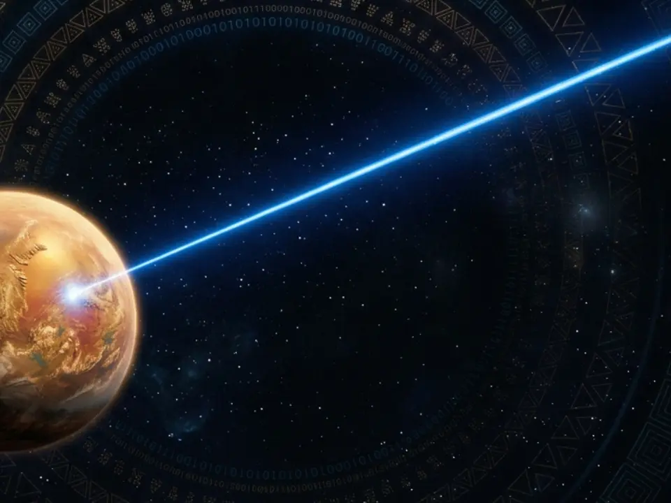)
Scientists detect first radio signals directly from faraway planet
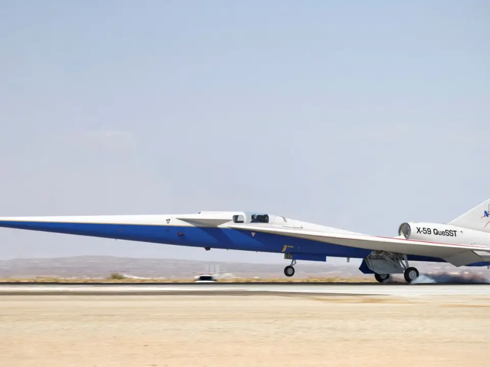)
China to test supersonic jet that moves at Mach 2, double the speed of sound
)
WION Iconic Tourism Summit: 'Hanuman Ansh' Director on blockbuster success
)
'Partners rather than rivals': Xi Jinping's first message after landing in US for Trump summit
)
WION Iconic Tourism Summit: Is India's travel boom outrunning its airports, airlines and hotels?
)
IIT Bombay student suicide case: CCTV from the exam hall hours before suicide
)
2,000-foot tube, laser tests and more: China builds towns to expand nuclear arsenal, satellite images show
)
French court upholds decision to send PSG and Morocco footballer Hakimi to rape trial
)
WION Iconic Tourism Summit and Awards 2026: Key voices to discuss India’s tourism future
&im=FitAndFill=(700,400))
New OTT releases this week (September 21-27, 2026): Shaque: Trust No One, Hunkkaar, Don’t Be Shy- 5 new titles coming to Netflix, Prime Video and more
)
WATCH | China President Xi Jinping lands in US as Trump greets him ahead of high-stakes summit
)
Australian PM Anthony Albanese calls OpenAI AI incident 'unacceptable' after restricted data access
)
Claude Opus 5.5 is here: Anthropic claims it can finish a 680,000-line code migration in less than a day
)
'What kind of confession is this?': Pakistan PM Shehbaz Sharif’s 'terrorists would be roaming New York' remark goes viral, raises alarm online. Watch
)
WION Iconic Tourism Summit: How local tourism MSMEs must upskill for AI integration
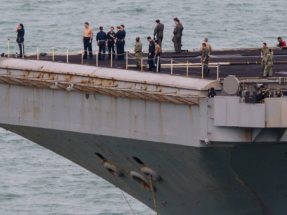)
Eight USS Abraham Lincoln sailors attempted suicide, Acting Navy Secretary says
)
Trump’s Board of Peace unveils $2.45bn Gaza plan,66 projects: But where’s the money?
)
EC appointment law: Why is the 2023 act controversial, and what happens next? WION explains
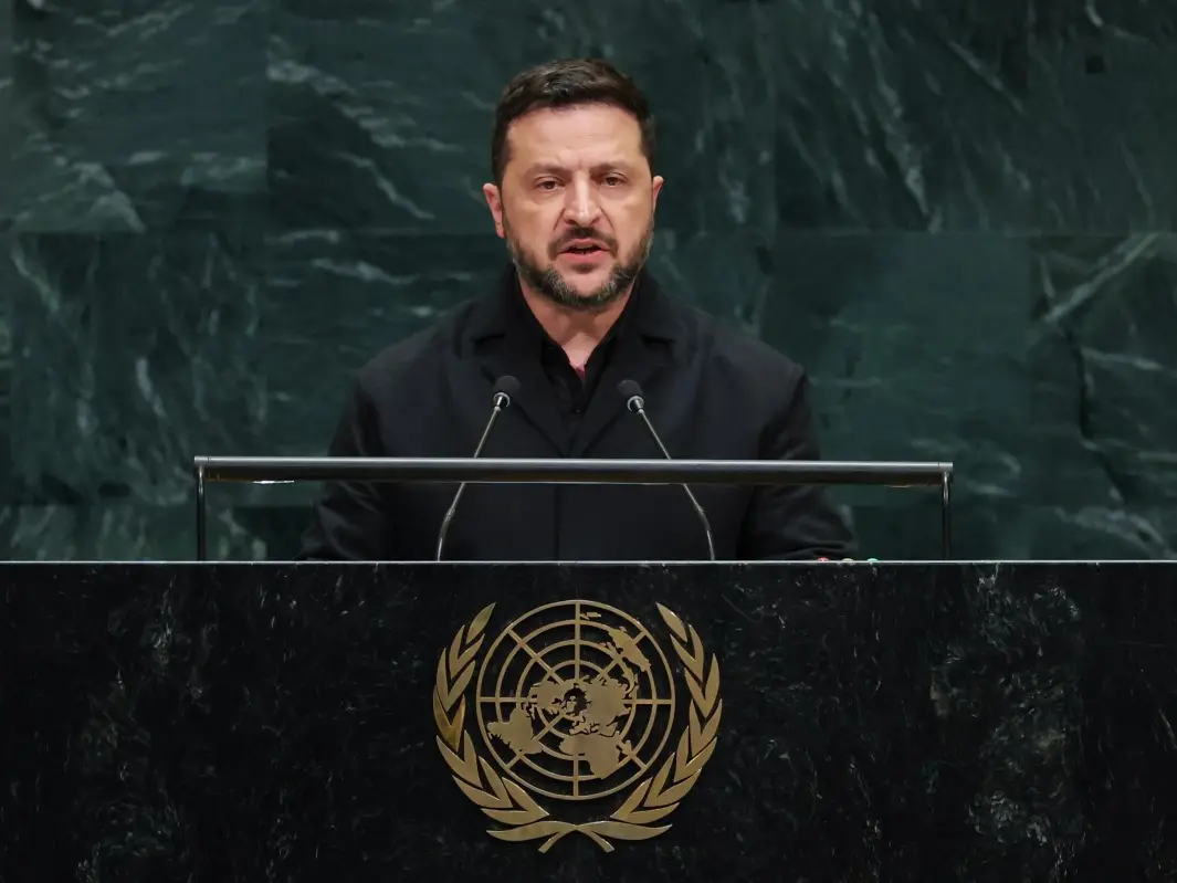)
'Putin is patient zero': Zelensky slams Russian president at UNGA, accuses him of using fighters from 47 countries
&im=FitAndFill=(700,400))
National Film Awards 2026: Kartik Aaryan, Mammootty, Yami Gautam, Randeep Hooda and other key winners
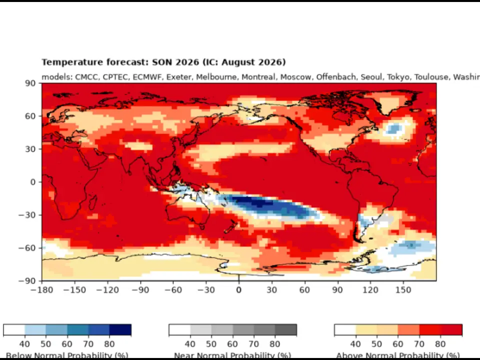)
El Niño 2026 heats up to become strongest in 1,000 years
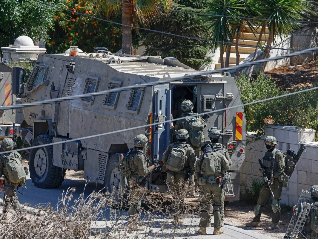)
Israeli envoy to US Yechiel Leiter’s son critically injured in West Bank ramming attack
&im=FitAndFill=(700,400))
Trump welcomes Xi Jinping in rare airport gesture: Photos from Chinese President's arrival in US
)
Xi-Trump meeting: China’s human rights red line and past protests explained
He noted that while the segment near Vancouver Island’s southwest coastline might get the largest earthquakes, southern segments along Oregon’s coast could experience smaller but more often quakes.
The Cascadia megathrust spans roughly 1000 kilometres from British Columbia to northern California.
Also Read |Astronaut William Anders, who captured 'Earthrise' photo from Moon, dies in plane crash
Cascadia has been rocked by 19 quakes in the past 10,000 years. These quakes exceeded magnitude 9. The most recent, in 1700, triggered a tsunami that reached Japan. Even as there is a major threat, the fault has been less understood compared to similar faults in Japan and New Zealand.
Survey findings
The seismic survey along a 900-kilometrestretch of the zone was done by using underwater air guns. With the help of the underwater air guns, sound waves were sent into the seafloor. They mapped the fault and rock layers beneath. This method provided unprecedented insight into the fault’s structure.
Watch | Cancer rate in younger people rising sharply as per new research
The data revealed that the Juan de Fuca plate, as it moves under the North American plate, breaks into segments due to the uneven distribution of rigid rocks above. One particularly concerning finding is that the segment extending from southern Vancouver Island is relatively smooth and shallow-dipping which makes it easier for quakes to propagate towards the coast.
(With inputs from agencies)