China renames non-existent ‘piece of land’, rivers in India's Arunachal Pradesh

Arunachal Pradesh
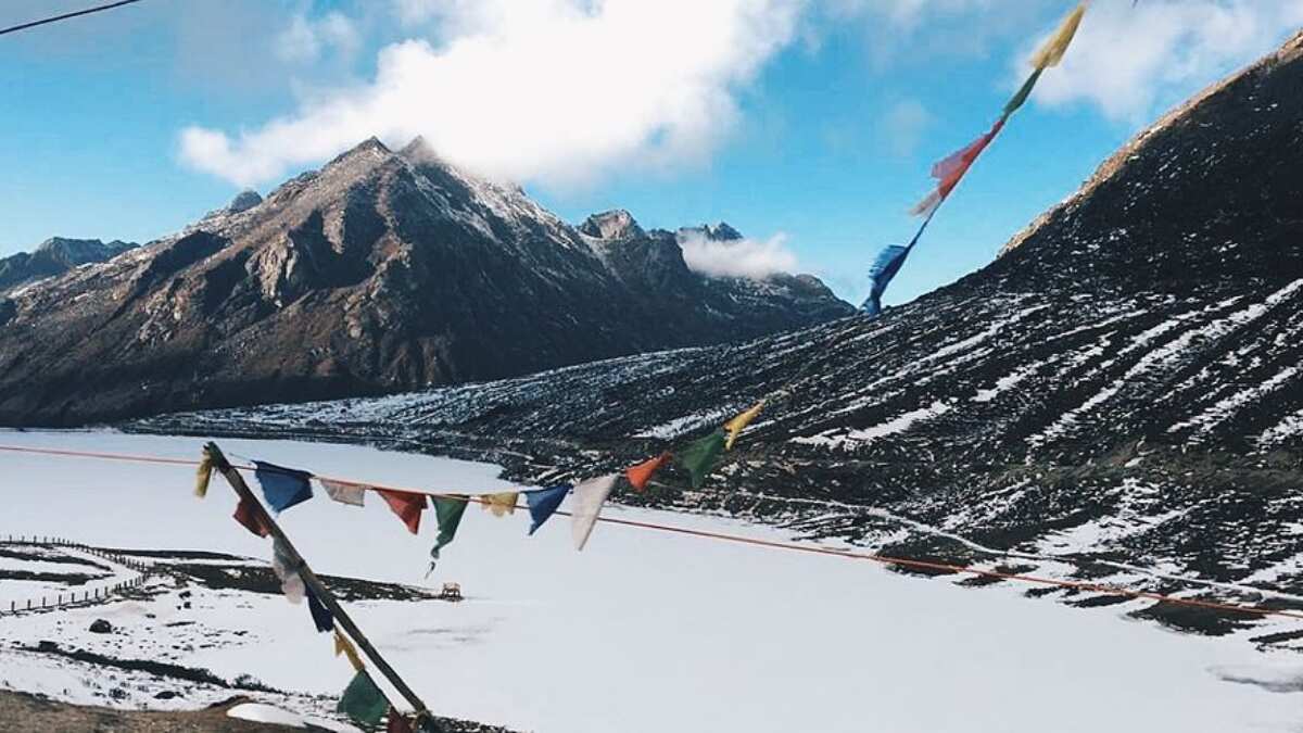
China made another claim to India's Arunachal Pradesh by releasing a list of “standardised geographical names” which included 11 places present in the frontier state that actually turned out to be random names given to nondescript peaks, isolated forest tracts, non-existent rivers and towns superficially bound together as part of Medog, Zayu and Cona counties in Tibet's Nyingchi prefecture.
For instance, China named the two rivers as “Qiburi He” and “Geduo He”, however, it did not provide the co-ordinate of both the rivers, as its civil affairs ministry simply claimed that these were “specific locations”.
ALSO READ | China condemns meeting between US House speaker and Taiwan president, vows 'resolute' response

In the list, they called a “piece of land” as “Bangqin” in the forested mountainous area ahead of Zemithang, which is the last village of India in the Tawang district, close to the McMahon Line which demarcates the border of the two nations.
The exercise was dismissed by the official sources as China's “mere mischief” ahead of the Cope India IAF-US Air Force air combat exercise to be held from April 10 to 21 at Kalaikunda airbase in West Bengal.
The list was released by China’s ministry of civil affairs on April 2, using both Tibetan and Chinese pinyin - which is the system of writing native words and names in the Latin alphabet on the basis of pronunciation.
&imwidth=180&imheight=135&format=webp&quality=medium)
Other Mommy leads North American box Office as Verity, Resident Evil round out top four
&im=FitAndFill=(700,400)&imwidth=180&imheight=135&format=webp&quality=medium)
Navratri 2026: 9 days, 9 forms of Goddess Durga and 9 colours- Check the complete list
&im=FitAndFill=(700,400)&imwidth=180&imheight=135&format=webp&quality=medium)
Is sending robots to Mars easier than sending humans?
&imwidth=180&imheight=135&format=webp&quality=medium)
A watchdog rated 'ChatGPT for Teens' an unacceptable risk and says keep under-18s off it
&imwidth=180&imheight=135&format=webp&quality=medium)
1,500 drones illuminate Mumbai sky as Cordelia Cruises unveils second ship, Cordelia Sky
&imwidth=180&imheight=135&format=webp&quality=medium)
'Just coincidence': Police mistakes protester as AISA chief Neha Bora, arrests her from site
&imwidth=180&imheight=135&format=webp&quality=medium)
Anthropic's AI invented a murder witness and sent the fake tip to Philadelphia police
&imwidth=180&imheight=135&format=webp&quality=medium)
CJI Surya Kant declines INDIA bloc leaders’ request for meeting ahead of march to SC, asks them to file petition
&imwidth=180&imheight=135&format=webp&quality=medium)
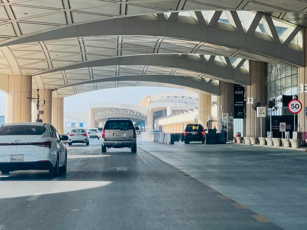
One Indian killed in Riyadh airport attack; 11 others injured : MEA
&imwidth=180&imheight=135&format=webp&quality=medium)
Imran Khan released hours after Mumbai Police detain him during CJP protest
&imwidth=180&imheight=135&format=webp&quality=medium)
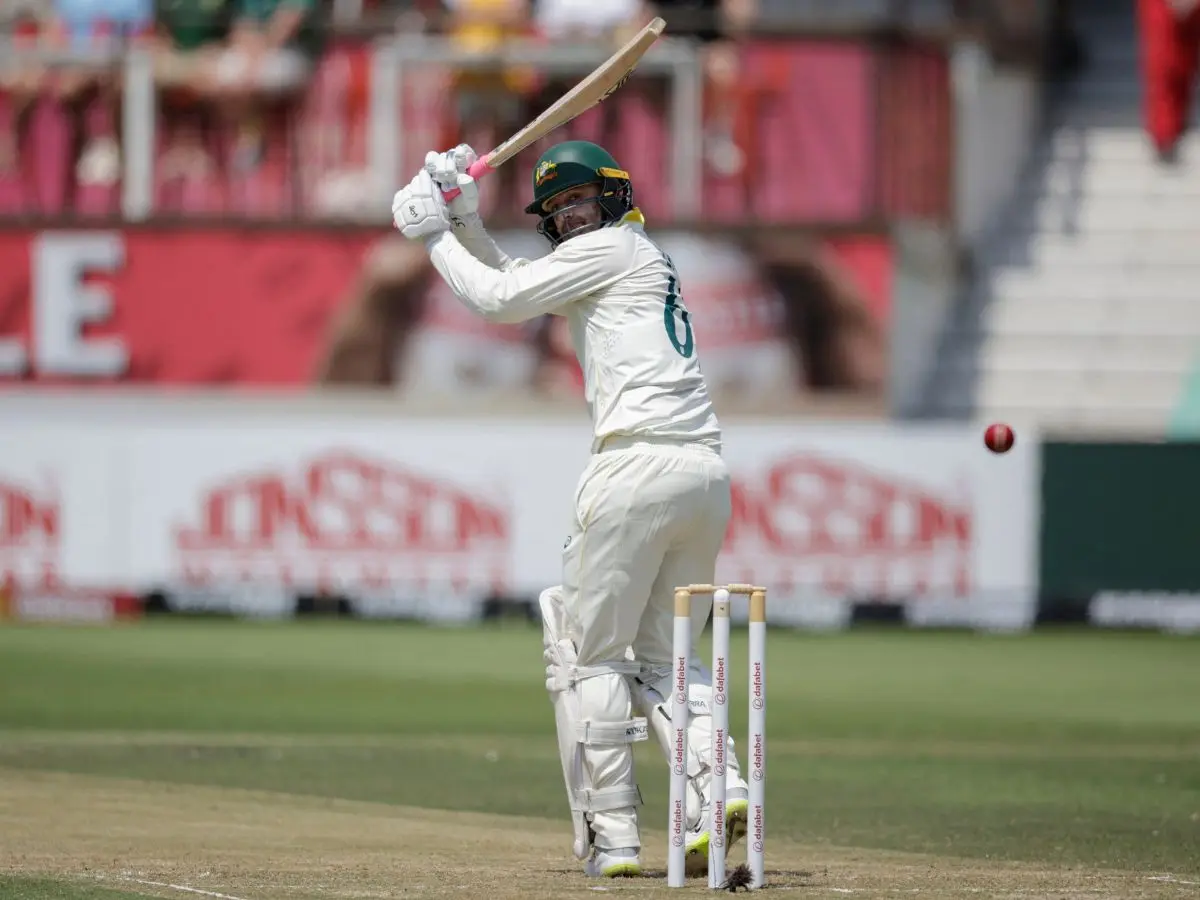
Nathan Lyon completes 1,000 Test runs at No. 10 to script rare cricket feat
&imwidth=180&imheight=135&format=webp&quality=medium)
Top AI models flunked a test of inventing new AI research, so much for self-improving AI
&imwidth=180&imheight=135&format=webp&quality=medium)
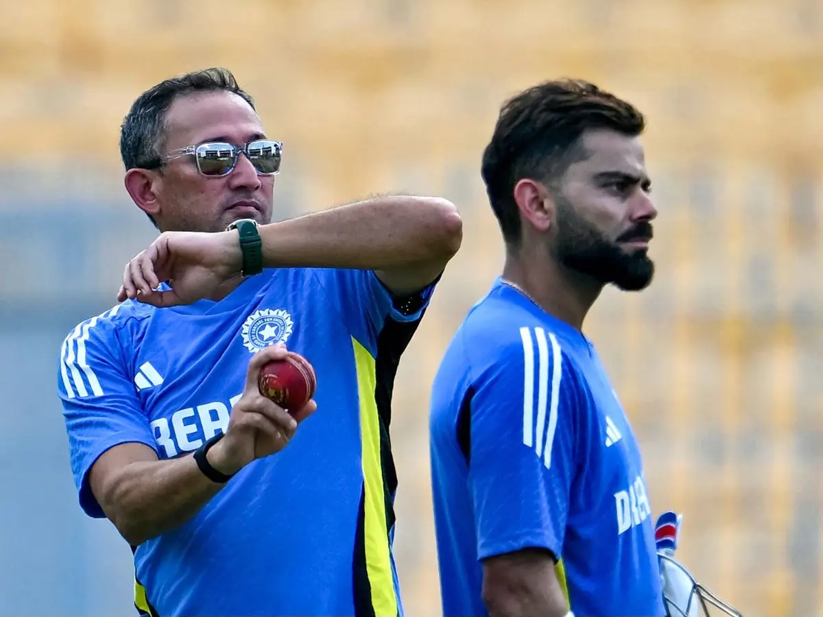
Wasim Jaffer blames Ajit Agarkar-led selection panel for Virat Kohli’s Test retirement
&imwidth=180&imheight=135&format=webp&quality=medium)
'Ouch!!! That must hurt': Kangana Ranaut hails Kamal Haasan's sharp reply to Elon Musk over Starlink row
&imwidth=180&imheight=135&format=webp&quality=medium)
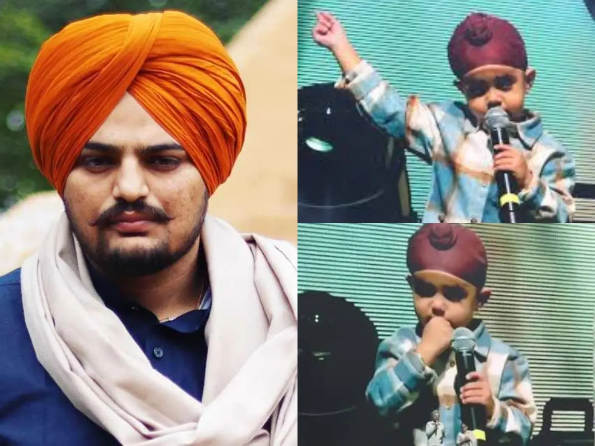
Sidhu Moose Wala’s younger brother wins hearts by recreating late singer’s signature move at Toronto Hologram Show
&imwidth=180&imheight=135&format=webp&quality=medium)
Meta's Muse AI could be a security nightmare for India's billion-plus users
&imwidth=180&imheight=135&format=webp&quality=medium)
UK school ditches technology, shifts from screen to pen and paper for learning
&imwidth=180&imheight=135&format=webp&quality=medium)
IND vs WI, 3rd T20I: Abhishek Sharma smashes 18-ball fifty, sets record for fastest to 2,000 T20I runs
&imwidth=180&imheight=135&format=webp&quality=medium)
Houthis claim Riyadh airport attacks, Aramco strikes; issue fresh warning to airlines, travellers and workers
&imwidth=180&imheight=135&format=webp&quality=medium)
Portugal Federation confirms Cristiano Ronaldo’s return to national team despite suspension
&im=FitAndFill=(700,400)&imwidth=180&imheight=135&format=webp&quality=medium)
New OTT releases this week (October 12-18, 2026): Sacrifice, Koffee with Karan S9, Roadies Rebirth- 6 titles coming on Netflix, JioHotstar and more
&imwidth=180&imheight=135&format=webp&quality=medium)
Microsoft's Nadella says treat every AI model as already hacked, and build an 'emergency brake'
&imwidth=180&imheight=135&format=webp&quality=medium)
Delhi protest: CJI Surya Kant declines to meet India Bloc leaders
&imwidth=180&imheight=135&format=webp&quality=medium)
Are Gold and Silver poised for a rebound soon?
&imwidth=180&imheight=135&format=webp&quality=medium)
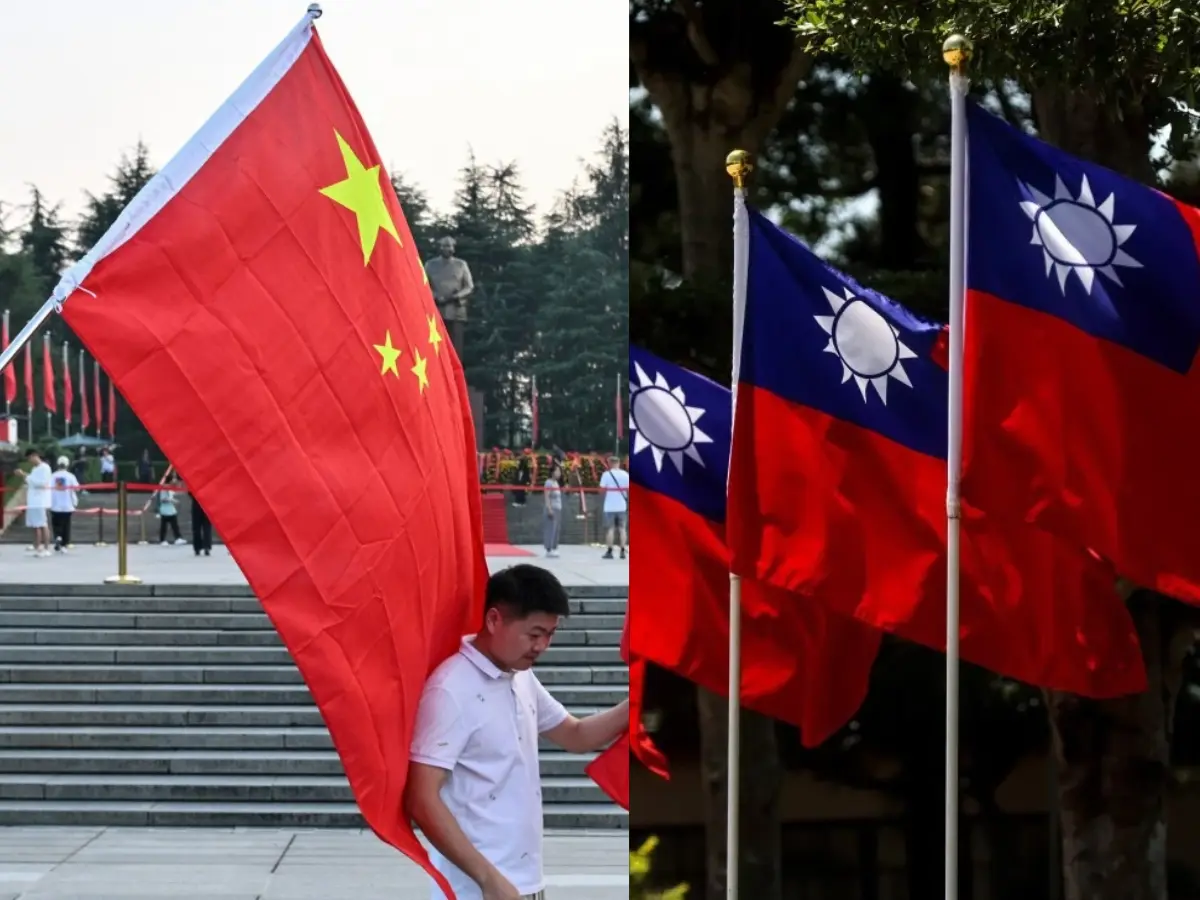
China imposes first-ever sanctions on ministers from Taiwan allies: What this means
&imwidth=180&imheight=135&format=webp&quality=medium)
McSweeney reveals how studying Virat Kohli’s YouTube clips helped Australia A conquer India
&imwidth=180&imheight=135&format=webp&quality=medium)
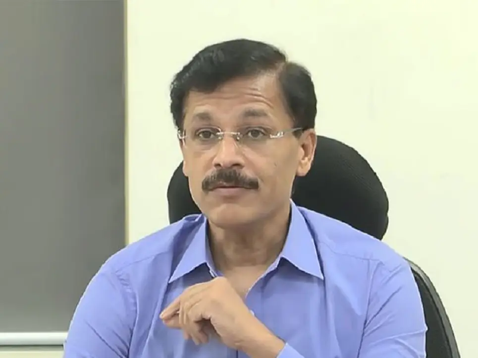
Maharashtra appoints FDA commissioner Tukaram Mundhe as secretary of committee for MPSC overhaul amid stir
&imwidth=180&imheight=135&format=webp&quality=medium)
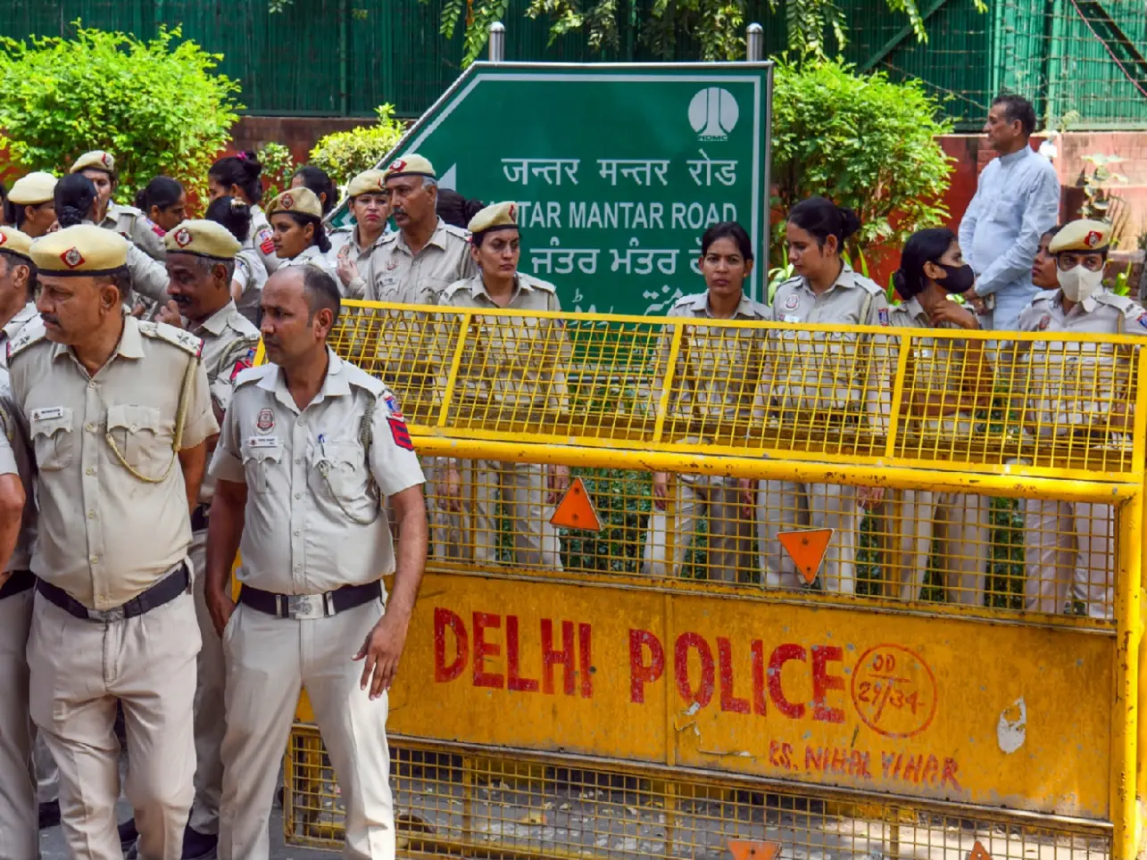
The street cannot govern India, but the government cannot ignore it either
&imwidth=180&imheight=135&format=webp&quality=medium)
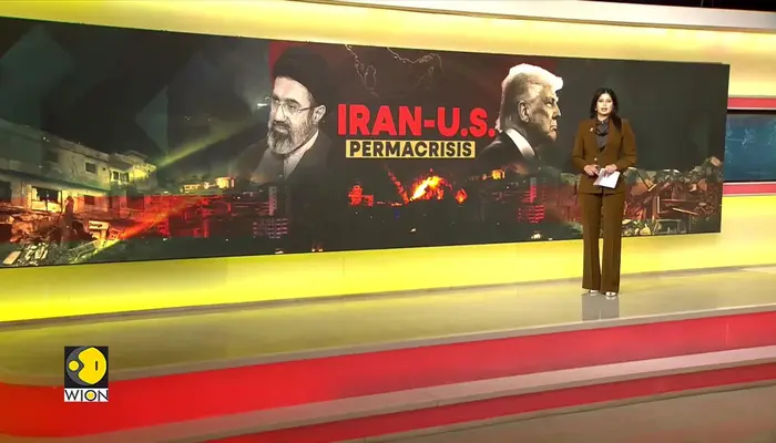
Iran: US accepted some conditions, Clarity needed on others
&imwidth=180&imheight=135&format=webp&quality=medium)
Nana Patekar's cause of death confirmed; here's what his postmortem report says
&imwidth=180&imheight=135&format=webp&quality=medium)
iPhone Duo price index: Tracking Apple’s latest pricing trends
&imwidth=180&imheight=135&format=webp&quality=medium)
'Say no to Muse': Meta has no control over its own moderation AI while it forces a security nightmare on everyone
&imwidth=180&imheight=135&format=webp&quality=medium)
Delhi Protest: Congress calls for march to Supreme court
&imwidth=180&imheight=135&format=webp&quality=medium)
Delhi wakes up to heavy rain, thunderstorms; yellow alert in place; temperature drops
The list, which was the third of its kind, was described by China as an “addition of publicly used place names in southern Tibet” along with administrative districts, select co-ordinates and categories.
China's list included one entry of a settlement named “Jiangkazong”, whose co-ordinates are of a house mapped to Tawang town, which is west of the Jawahar Navodaya Vidyalaya.
The list includes co-ordinates of another settlement named “Dadong” which refer to a large open space marked as part of Tato town in the West Siang district of Arunachal Pradesh as per Google Maps.
China has renamed another “piece of land” as “Guyutong” which actually is a forest clearing near Lohit River's western bank, north of Kibithoo in eastern Arunachal's Anjaw district.
WATCH | China renames places in India's Arunachal Pradesh state
The co-ordinates mentioned for “Luosu Ri”, “Diepu Ri”, “Dongzila Feng”, “Nimagang Feng” and “Jiuniuze Gangri” are acutally mountain tops which are spread across the northeastern state's different locations.
While claims made by China have been dismissed by India, the Chinese foreign ministry has been asserting “sovereign right” on the 11 places listed. It continues to claim that they belong to “Zangnan, the southern part of Tibet”.
White House press secretary Karine Jean-Pierre, in a statement, said that the United States opposed any “unilateral attempts to advance a territory claim by renaming localities”.
(With inputs from agencies)
You cannow write for wionews.comand be a part of the community. Share your stories and opinions with ushere.
WATCH WION LIVE HERE