

&imwidth=800&imheight=600&format=webp&quality=medium "UN 'Correct the Map' labels Arunachal Pradesh, Aksai Chin as 'claimed lines'")
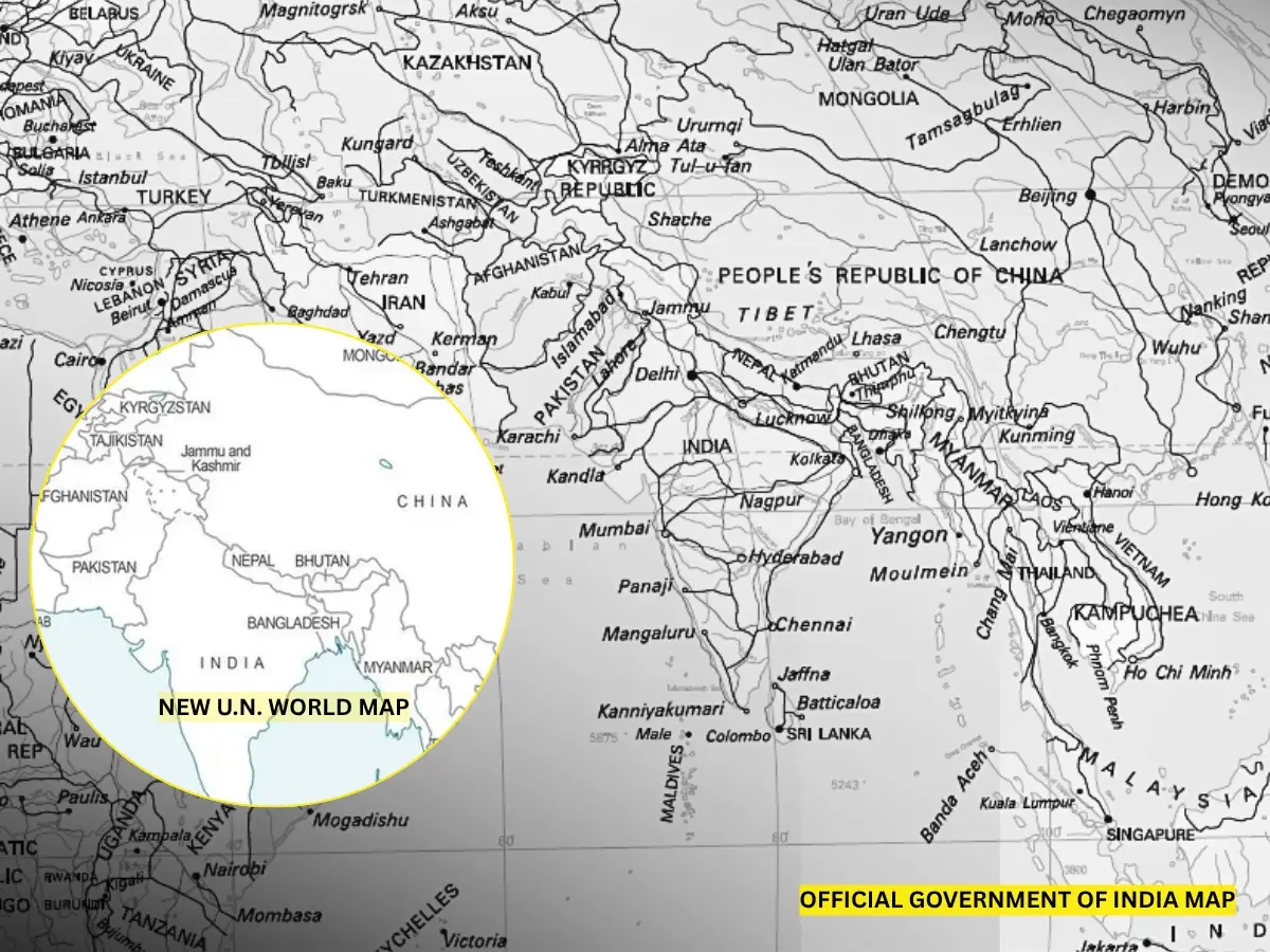
The new world map endorsed under “Correct the map” resolution on September 4, shows Arunachal Pradesh and Aksai Chin both of which India maintains are its soverign territory, as region unspecified "Indian" and "Chinese" claim lines.
The map was originally compiled on July 1 and surfaced following the adoption of the “Correct the map” resolution. The map eliminates Arunachal Pradesh's border with Nagaland, while showing the border with Assam as the “Chinese line”, and the map's Northern boundary is shown as the “Indian line”. A similar pattern appears with Aksai Chin, where the map shows the "Indian Line" to its east and a "Chinese Line" to its west.
The map also shows Jammu and Kashmir separated by a dotted line for the Line of Control between India and Pakistan. It also contains a footnote: “The dotted line represents approximately the LoC in Jammu and Kashmir, agreed upon by India and Pakistan,” indicating that the final status between the two sides has not been mutually settled. No such footnotes were available for Aksai Chin and Arunachal Pradesh.
India has voted in favour of a UN resolution titled "Correct the Map" but has drawn red lines on international boundaries. It said that any particular map must strictly adhere to its international boundaries projected in India's official territorial maps.
“India’s sovereign territory, including the Union Territories of Jammu and Kashmir and Ladakh, must be depicted in accordance with India’s official map. Any inaccurate or misleading depiction is unacceptable. Our position on India’s sovereignty and territorial integrity is clear, consistent and non-negotiable,” said the MEA spokesperson in a statement on Sunday, September 6, after India backed the " Correct the map" resolution in the United Nations
Trending Stories
&imwidth=180&imheight=135&format=webp&quality=medium)
BCCI’s CoE cautious over Hardik Pandya’s fitness, sets expected comeback timeline
&imwidth=180&imheight=135&format=webp&quality=medium)
India-China face-off continues near Arunachal’s Taksing, reveals ITBP chief in first official confirmation of tensions
&imwidth=180&imheight=135&format=webp&quality=medium)
Horrific video shows the moment 18-year-old fell to her death from Mexico amusement park ride
&imwidth=180&imheight=135&format=webp&quality=medium)
IND-W vs ZIM-W, 1st ODI: Rawal, Charani star in India’s nine-wicket win over Zimbabwe
&imwidth=180&imheight=135&format=webp&quality=medium)
Netanyahu dials PM Modi, invites him and Capt Smit Machchhar to light torch on Israel’s Independence Day
&imwidth=180&imheight=135&format=webp&quality=medium)
Putin says Russia is ready to resume Ukraine-US peace talks but rejects 'short ceasefire' amid deadly attacks
&imwidth=180&imheight=135&format=webp&quality=medium)
Ilhan Omar breaks silence over alleged marriage to her brother; Trump thinks it's 'really good answer'
&imwidth=180&imheight=135&format=webp&quality=medium)
Finance influencer dies by suicide in Chennai; father accuses tech CEO, who denies charge
&imwidth=180&imheight=135&format=webp&quality=medium)
Meghan Markle’s father Thomas under investigation over alleged child abuse images: Report
&imwidth=180&imheight=135&format=webp&quality=medium)
'It's a crime not to see this scene': Tehran puts Trump 'behind bars'
&imwidth=180&imheight=135&format=webp&quality=medium)
WATCH: Trump demands Ilhan Omar removal from Congress for 'using fake name to be sworn in'. So what is her real name?
&imwidth=180&imheight=135&format=webp&quality=medium)
GRAVITAS | Putin fires nuclear-capable hypersonic missiles, Zelensky ready to surrender 25% territory
&imwidth=180&imheight=135&format=webp&quality=medium)
Watch: India rejects ‘imprecise and unsupported’ references in UN migrant rights report
&im=FitAndFill=(700,400)&imwidth=180&imheight=135&format=webp&quality=medium)
Serbia elections: Nearly 150,000 people take to streets in massive rally against Aleksandar Vucic | In pics
&imwidth=180&imheight=135&format=webp&quality=medium)
Pakistan airline PIA unveils new crew uniforms, faces online criticism
&imwidth=180&imheight=135&format=webp&quality=medium)
First Lady Melania Trump secures ceasefire between Russia, Ukraine in Oleshky: White House
&imwidth=180&imheight=135&format=webp&quality=medium)
India’s 2022 CWG silver medallist Sabbhineni Meghana announces international retirement
&imwidth=180&imheight=135&format=webp&quality=medium)
US midterms 2026: Elon Musk’s political spending hits $445 million as Republicans battle to retain Senate control
&imwidth=180&imheight=135&format=webp&quality=medium)
Did Neha Bora call for Bangladesh-like GenZ protest, 'anarchy' in India? WION Fact-checks viral claim
&imwidth=180&imheight=135&format=webp&quality=medium)
AI slop or smart strategy? South African author Coral Hart defends Her 370 AI- assisted books in 20 months
&imwidth=180&imheight=135&format=webp&quality=medium)
'Vivek should keep it up': Trump defends Ramaswamy's controversial campaign ad targeting Amy Acton
&imwidth=180&imheight=135&format=webp&quality=medium)
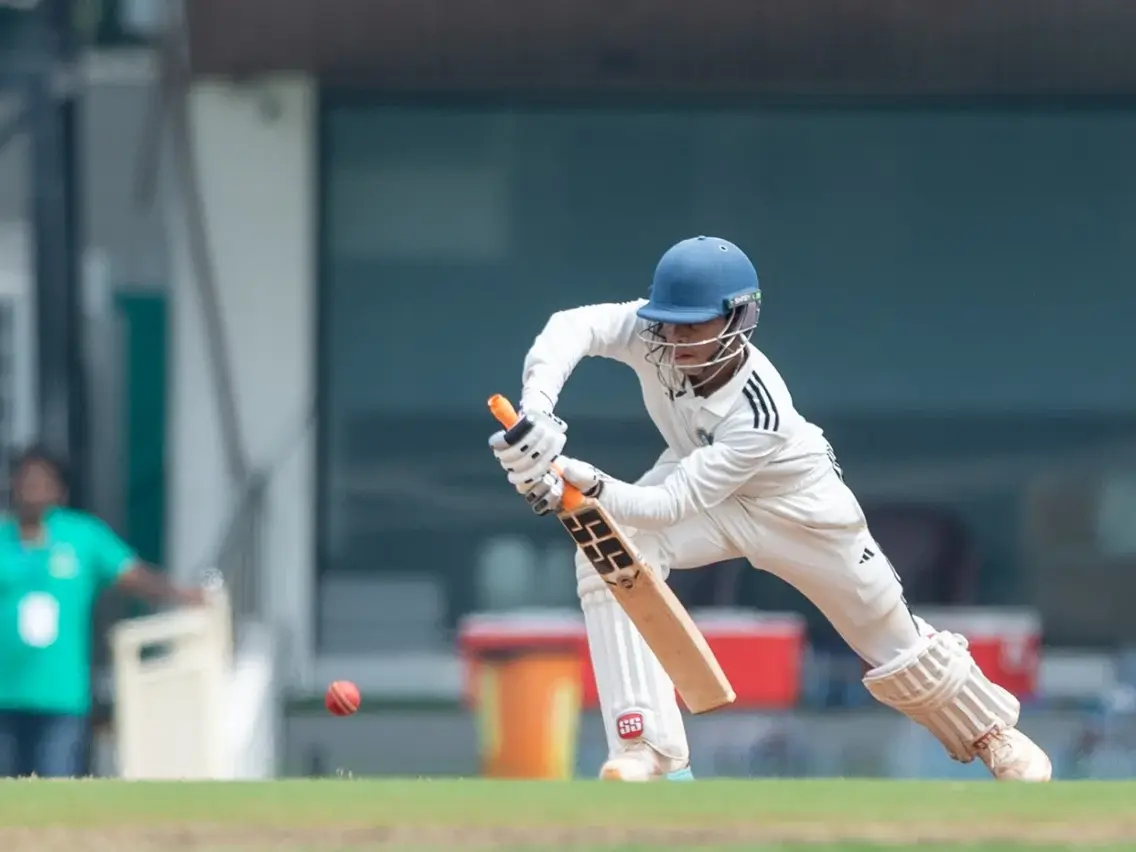
Shikhar Mohan earns maiden India A call-up, replaces KL Rahul
&imwidth=180&imheight=135&format=webp&quality=medium)
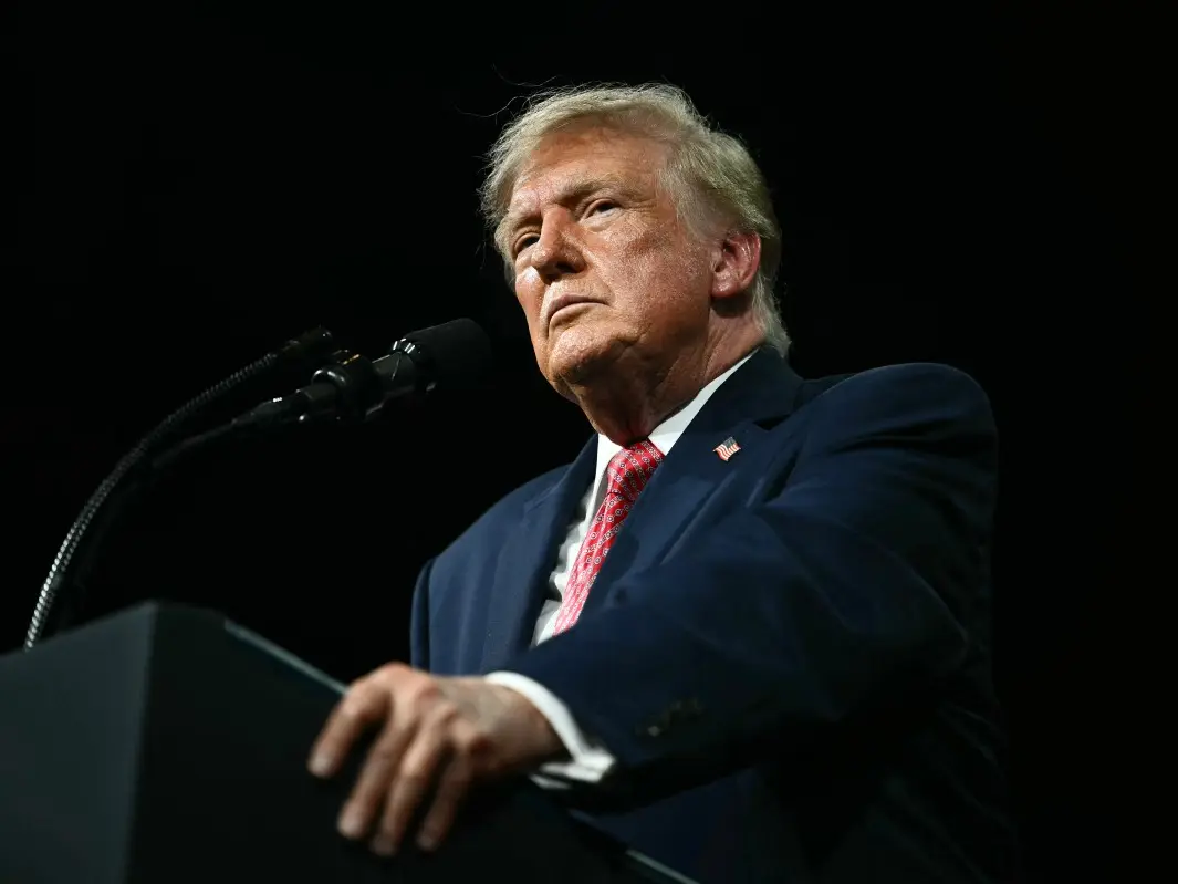
Trump ordered to answer questions under oath in BBC defamation lawsuit by December 11
&imwidth=180&imheight=135&format=webp&quality=medium)
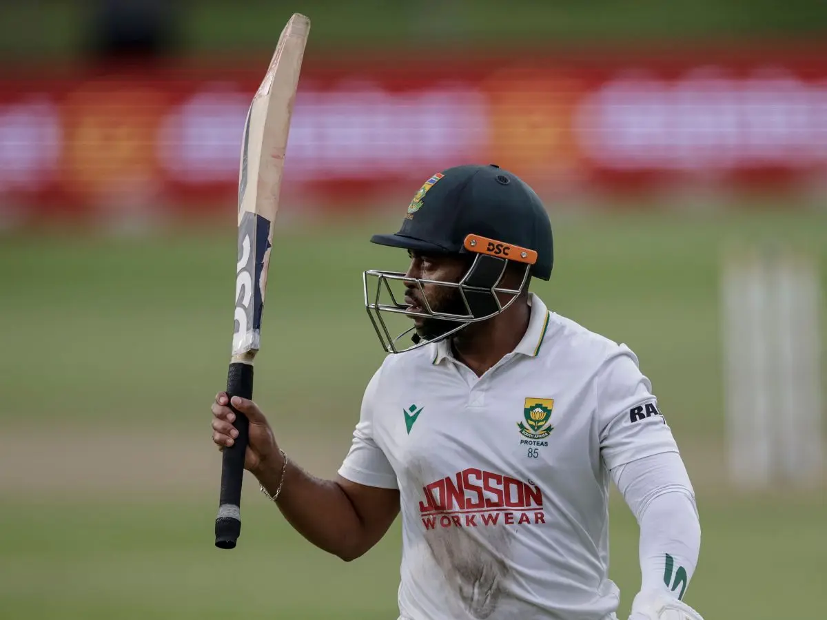
SA vs AUS 2nd Test: Temba Bavuma reveals 'Tendulkar inspiration' behind career-best 179
&imwidth=180&imheight=135&format=webp&quality=medium)
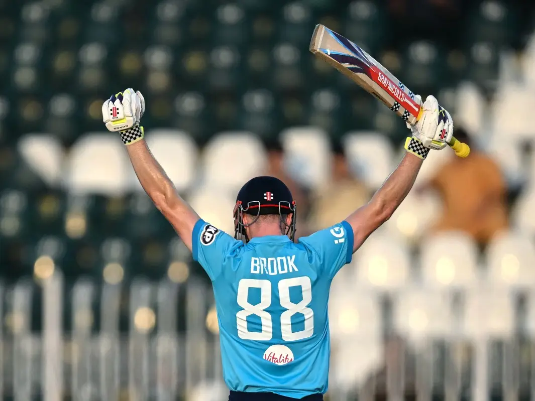
ENG vs SL: Harry Brook breaks Shubman Gill’s record for fastest ODI double century
&imwidth=180&imheight=135&format=webp&quality=medium)
450 villagers in UP rush to take anti-rabies shots after consuming 'charnamrit'
&imwidth=180&imheight=135&format=webp&quality=medium)
US midterms 2026: US Supreme Court allows New Hampshire to restrict student IDs for voting
&imwidth=180&imheight=135&format=webp&quality=medium)
One man, 8 months of work, and a river dirty again: Why Bittu Tabahi may quit
&imwidth=180&imheight=135&format=webp&quality=medium)
'This is humiliation': Vijay Deverakonda under fire over controversial marriage proposal remark on Koffee With Karan 9
&im=FitAndFill=(700,400)&imwidth=180&imheight=135&format=webp&quality=medium)
New Friday OTT releases (October 23, 2026): Gajab Raat, Dorothy, Chaar Yaar- Watch these 6 new movies and TV shows on Netflix, Prime Video and more
&imwidth=180&imheight=135&format=webp&quality=medium)
Two BrahMos missiles on Tejas, triple the range and 100% indigenisation, says former BrahMos CEO
&imwidth=180&imheight=135&format=webp&quality=medium)
A secret code, a midnight escape and 300 deaths: The Russian officer who turned on Putin
&imwidth=180&imheight=135&format=webp&quality=medium)
Christa Pike's failed execution: Tennessee team struggled to insert IV lines, lawyer says
&imwidth=180&imheight=135&format=webp&quality=medium)
US to get 850 F-35 stealth fighter jets under 10-year Pentagon-Lockheed deal
&imwidth=180&imheight=135&format=webp&quality=medium)
China's dancing robot turns violent bodyguard, lifts cars and fights intruders - Watch
India maintains that Aksai Chin and Pakistan-occupied Kashmir are part of Indian territory. Arunachal Pradesh is already integrated with the Indian administrative system. The Government of India maintains that its official UN map must display the entire area of Jammu and Kashmir and Ladakh, including the areas currently administered by Pakistan and China. However, it has yet to comment on the labelling of Aksai Chin and Arunachal Pradesh with “claimed lines”.

