Can NASA's night-time maps depict economic inequality for real?


Night time maps
NASA describes their newest 'Night-time Maps' (2016) as 'the clearest yet composite view of the patterns of human settlement across our planet'
When economists Praveen Chakravarty and Vivek Dehejia got hold of NASA images exhibiting the night-time view of Earth, they concluded that some of the regions in the country are not reflected as 'lit-up'due to lack of economic activity. In a report published by the BBC, Chakravarty and Dehejia studied night-time satellite images of the planet obtained from US Air Force Defence Meteorological Satellite Programme and analysed 387 of 640 districts in 12 Indian states.
The research stated the inequality "between and within various"Indian states as metropolitan cities like Mumbai, Delhi shone brightest and some 380 districts in 12 states were, on average, only fifth as bright as the big cities.
But, can the lit-up map of regions be an appropriate marker of economic activity and prosperity?

NASA describes their newest 'Night-time Maps' (2016) as "the clearest yet composite view of the patterns of human settlement across our planet".
“City lights provide a fairly straightforward means to map urban versus rural areas and to show where the major population centres are and where they are not,” William Stefanov, senior remote sensing scientist for the International Space Station program office was quoted on NASA's Earth Observatory website.
"They are also an excellent means to track urban and suburban growth, which feeds into planning for energy use and urban hazards, for studying urban heat islands, and for initializing climate models,” adds Stefanov.
)
‘Will go to any extent’: Pakistan vows to defend Saudi Arabia amid Houthi attacks
)
Pentagon revives mandatory testosterone testing for male troops aged 30 and above
)
Trump extends H-1B visa's $100,000 fee until September 2027: What it means for Indians?
&im=FitAndFill=(700,400))
‘Not the US or China’: These are the countries leading the world in arable land
)
Trump announces ‘AI Force’ as debate grows over AI risks and regulation
)
Why Ranveer Singh’s Dhurandhar missed India’s Oscar entry; FFI jury member reveals what happened
)
Trump bans CNN, MS NOW and Politico from White House over ‘FAKE NEWS’
)
Flying cars in UAE: Ras Al Khaimah signs deal with Chinese company to test new transport
&im=FitAndFill=(700,400))
Meet top 5 Indian batters with fastest T20I centuries
66 years of the Indus Waters Treaty: How India and Pakistan settled a bitter river dispute
)
Reacher star Alan Ritchson opens up about alleged blackmail, suicide attempt during difficult period
)
Russia extends ban on Western food imports for two more years in extended sanctions countermeasure
&im=FitAndFill=(700,400))
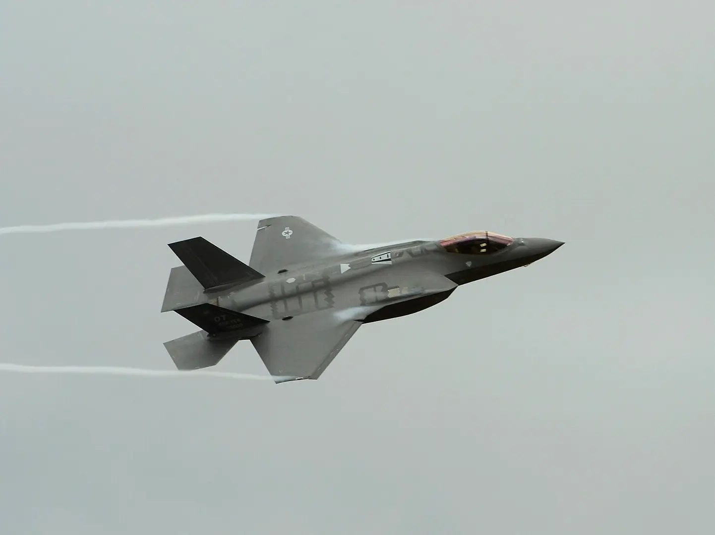
How many F-35s does Britain, Japan and Israel have?
)
Putin: European leaders using war rhetoric to save falling ratings
Russia attacks Ukraine with 174 drones, kills 8; 2 vessels hit in Black Sea
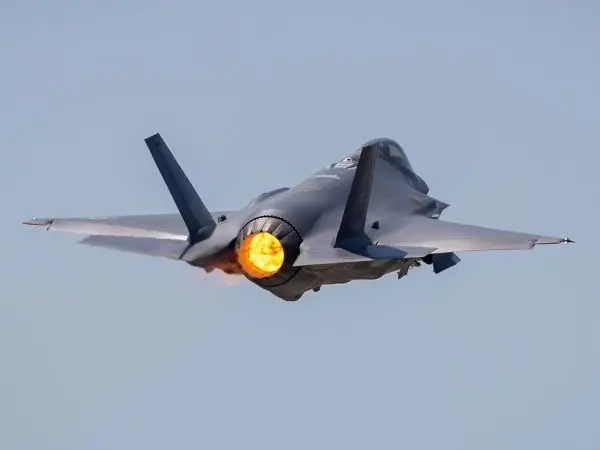)
China may have gained access to US's classified F-35 jets; parts meant for repairs diverted to Hong Kong, sparking Pentagon inquiry
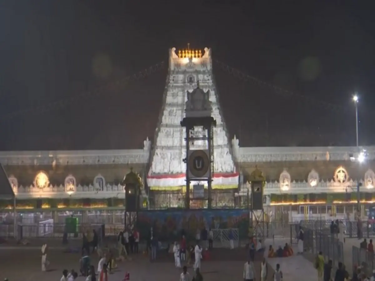)
Tirupati Laddu ghee adulterated with chemicals, says ED, supplier arrested
)
‘System run by six individuals’: Rahul Gandhi targets PM Modi, Amit Shah, NSA Doval
)
Arvind Kejriwal, family members, Delhi CM Rekha Gupta get SIR notices
)
Africa is splitting, and a lot sooner than estimated, giving way to a new ocean
)
Trump 2.0: Dark days ahead for America’s ‘imperial presidency’
)
The Verdict | When precision fails: US commits war crime in Minab school strike, UN finds
)
Oxford United's new clothing line featured 'United 93' phase
)
Ajit Agarkar’s future as chief selector to be decided at right time, says BCCI secretary
)
How did an Australian river with 500 crocodiles pass the Olympic test? Here's how
&im=FitAndFill=(700,400))
Ananya Panday to Sharvari: 5 actresses serving major princess vibes
)
Trump signs Russia sanctions bill into law, targets Moscow’s energy sector
)
Pak: A series of counter terrorism operations in Khyber Pakhtunkhwa
)
Cochin shipyard starts building Indian Navy's next-gen missile vessels
)
Russia holds first parliamentary elections since the beginning of the Ukraine war
)
Iran rebuilding nuclear facilities? New satellite images show Tehran may be rapidly restoring bombed Parchin base
)
FACT CHECK: Why did PM Modi ask Xi ‘is it okay’ at BRICS Summit? New video reveals...
)
Mark Carney mimics Trump in hilarious moment over C$70 billion clean-energy investment; room erupts in laughter
)
Brigitte Bardot’s private collection set for Paris auction; key items and prices revealed
)
)
But, if city lights are a marker of economic equality, and if the night-time map of India is to be compared with other countries, one would expect completely lit up maps of highly developed countries like the US or Australia, but that is not quite the case.
As per NASA's latest night-time maps released in the year 2016, the world at night lights up like this.

This how the continental United States looks like at night (2016). Notice the remarkable pool of light that shines on the east coast and nearby areas of the United States and spurts of brightspots on the west coast in and around California.

As suggested by the map, American states like North and South Dakota, Colorado, Montana, Wyoming, among other central states are depicted as poorly lit. Does that suggest economic inequality among American states too?
And here is the composite (2016) image of Europe at night.
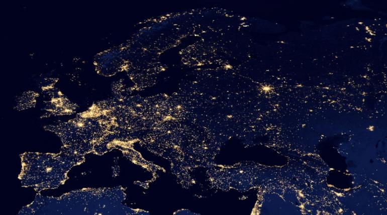
Coming back to India, a comparison between country's night map in 2012 and 2016 shows a remarkable increase in 'lit-up areas'.
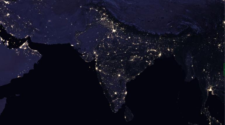
India, 2012
The 2016 night-time map also shows more evenly distributed bright spots across the country with slightly dull patches along states like Odisha, West Bengal, parts of Chattisgarh, Uttar Pradesh and Bihar.
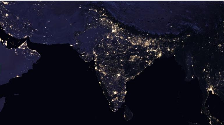
India, 2016
NASA's night-time maps have been igniting curiosity for nearly 25 years. "They have provided a broad, beautiful picture, showing how humans have shaped the planet and lit up the darkness. Produced every decade or so, such maps have spawned hundreds of pop-culture uses and dozens of economic, social science and environmental research projects," states the website.
"The Visible Infrared Imaging Radiometer Suite (VIIRS) on Suomi NPP can observe dim light down to the scale of an isolated highway lamp or fishing boat. It can even detect faint, nocturnal atmospheric light — known as airglow — and observe clouds lit by it. Through the use of its “day-night band,” VIIRS can make the first quantitative measurements of light emissions and reflections, distinguishing the intensity and the sources of night light. The sum of these measurements gives us a global view of the human footprint on the Earth," it adds.
And there will continue to be several similar studies in the future till the timeNASA doesn't tire out bettering its technology and keep coming up with more advanced data. Until then, experts will continue to gauge at the vast pool data provided by NASA with different lenses to arrive at a range of interpretations.
(Images via NASA)