What if GPS dies? Why USS Abraham Lincoln's crew still uses 18th-century system to steer a warship

If a cyber-attack blinds the US satellite network, how does a $4 billion nuclear supercarrier navigate? Discover the analog paradox of the USS Abraham Lincoln's 18th-century backup plan.
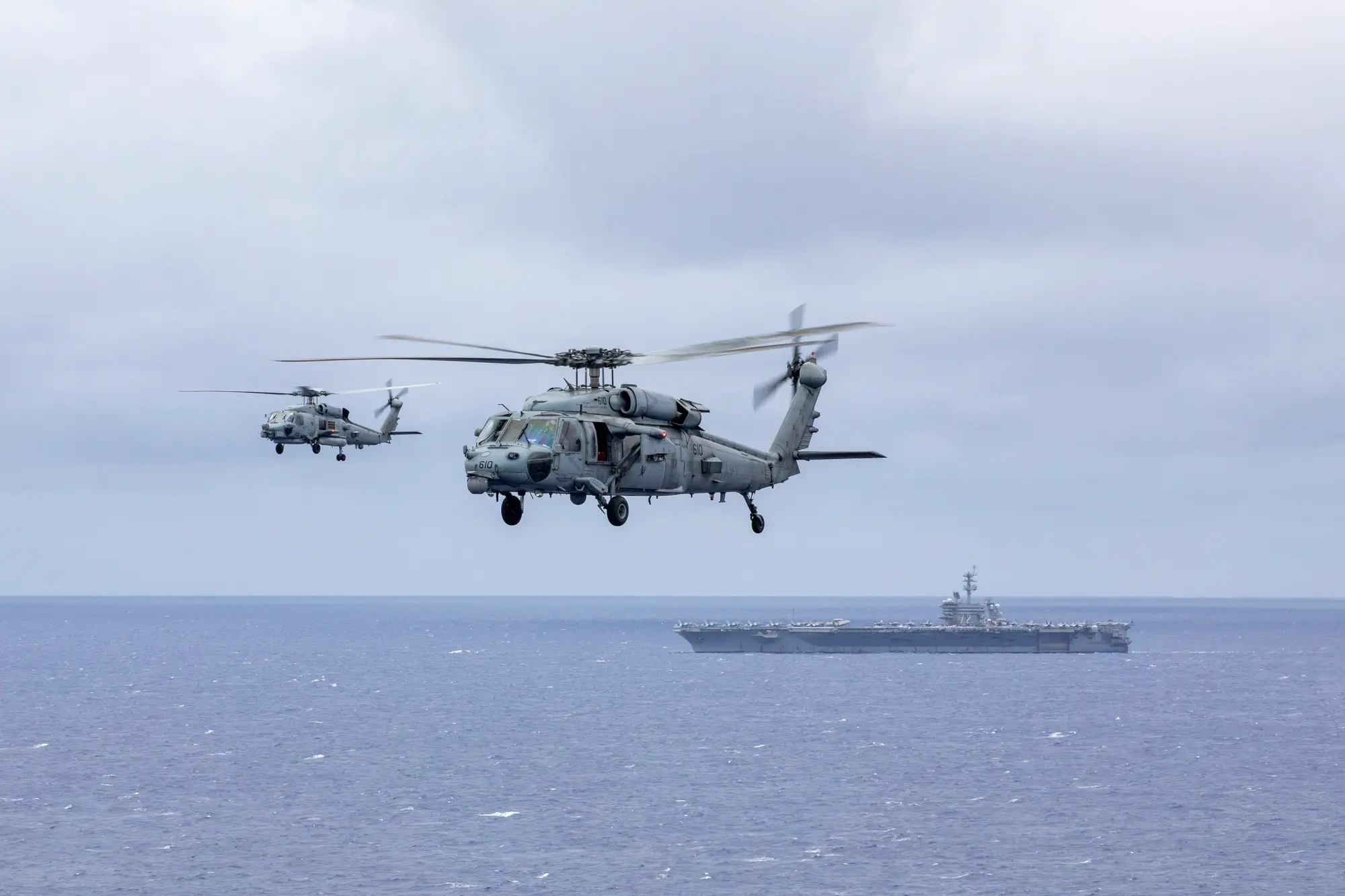
The Cyber-Doomsday Scenario
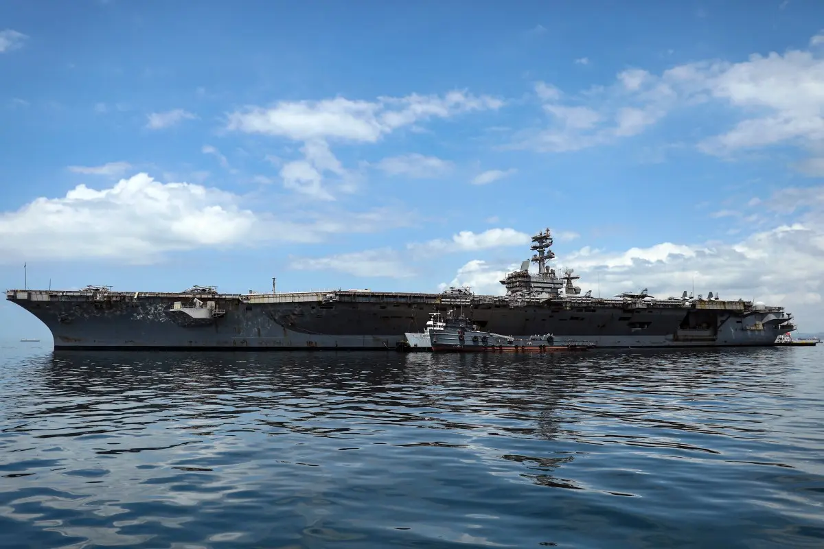
Modern warships are fundamentally tethered to the Global Positioning System (GPS). But in a near-peer conflict, those satellites are the very first targets for anti-satellite missiles (ASAT) or aggressive cyber-jamming. If an adversary successfully blinds the digital grid, the navigation screens on the bridge of the USS Abraham Lincoln instantly go dark.
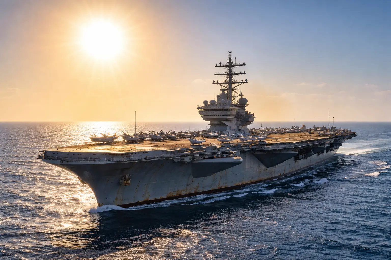
The 18th-Century Backup Plan
To prevent a 100,000-ton carrier from sailing blind, the Navy revived a lost art. Aboard the high-tech Lincoln, secured in a polished wooden box on the bridge, sits a traditional brass sextant. It is the exact same analog, mirror-based navigational tool used by Captain James Cook, early explorers, and 18th-century pirates.

The Quartermasters of the Deep
Not just anyone is allowed to touch it. The ship's Quartermasters are specially trained navigators responsible for this archaic art. While fighter pilots launch from the flight deck below, these sailors stand on the carrier's open-air signal bridge, physically tracking the sun, the moon, the planets, and 57 specific navigational stars.
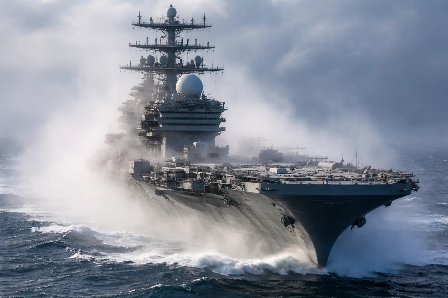
Shooting the Stars
Celestial navigation requires three things: the horizon, a celestial body, and the exact time. By ‘shooting’ the angle between a star and the horizon using the sextant's mirrors, and cross-referencing a highly accurate analog chronometer, the Quartermaster uses complex trigonometry to pinpoint the carrier's location anywhere on Earth, completely independent of satellites.
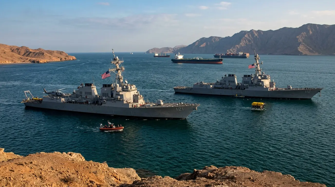
The Paper Chart Room
Digital screens mean nothing without power or data. Right behind the Lincoln's modern bridge is the chart room, filled with thousands of physical, paper nautical maps. Pencils, protractors, and mechanical dividers remain the ultimate fail-safe against electronic warfare, allowing the crew to physically draw their route across the globe.
The 'Dead Reckoning' Protocol
Between star sightings (usually done at dawn and dusk during ‘nautical twilight’), the crew uses a method called ‘dead reckoning.’ By taking their last known celestial position and calculating the ship's current speed and heading, they manually draw their projected path on the paper charts, constantly updating it as ocean currents push the massive steel hull.
The Ultimate Technological Paradox
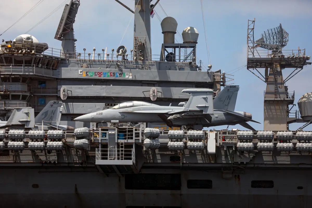
It is the greatest irony of modern naval warfare. The USS Abraham Lincoln can generate its own nuclear power, vaporize its trash into plasma, and launch supersonic stealth fighters into combat. But if World War III kicks off in space and the satellites fall, the survival of 5,000 sailors will depend entirely on brass, math, and the stars.
)
)
)
)
)