What is a cloudburst and why are they more frequent and devastating than ever? The climate change connection you should know

Cloudbursts are destructive because of the sheer volume of rain that falls in a short time, particularly on densely populated areas with no escape routes. Here is what you should know about these devastating weather phenomenon

Another devastating cloudburst hits Uttarkashi in India
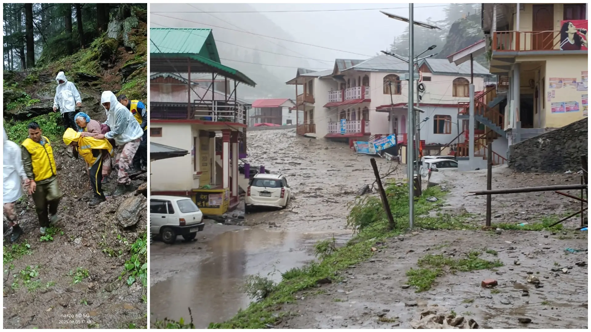
On August 5, Uttarkashi in India's northern Uttarakhand state witnessed a devastating cloudburst that triggered flash floods and landslides across the region. Several villages were wiped out and cut off, roads were washed away, and rescue teams faced immense challenges due to blocked access routes and persistent rain. This event is part of a worrying trend in the Indian Himalayas, where extreme rainfall episodes are becoming more frequent and intense, causing widespread destruction in remote, high-altitude areas.
What is a cloudburst?
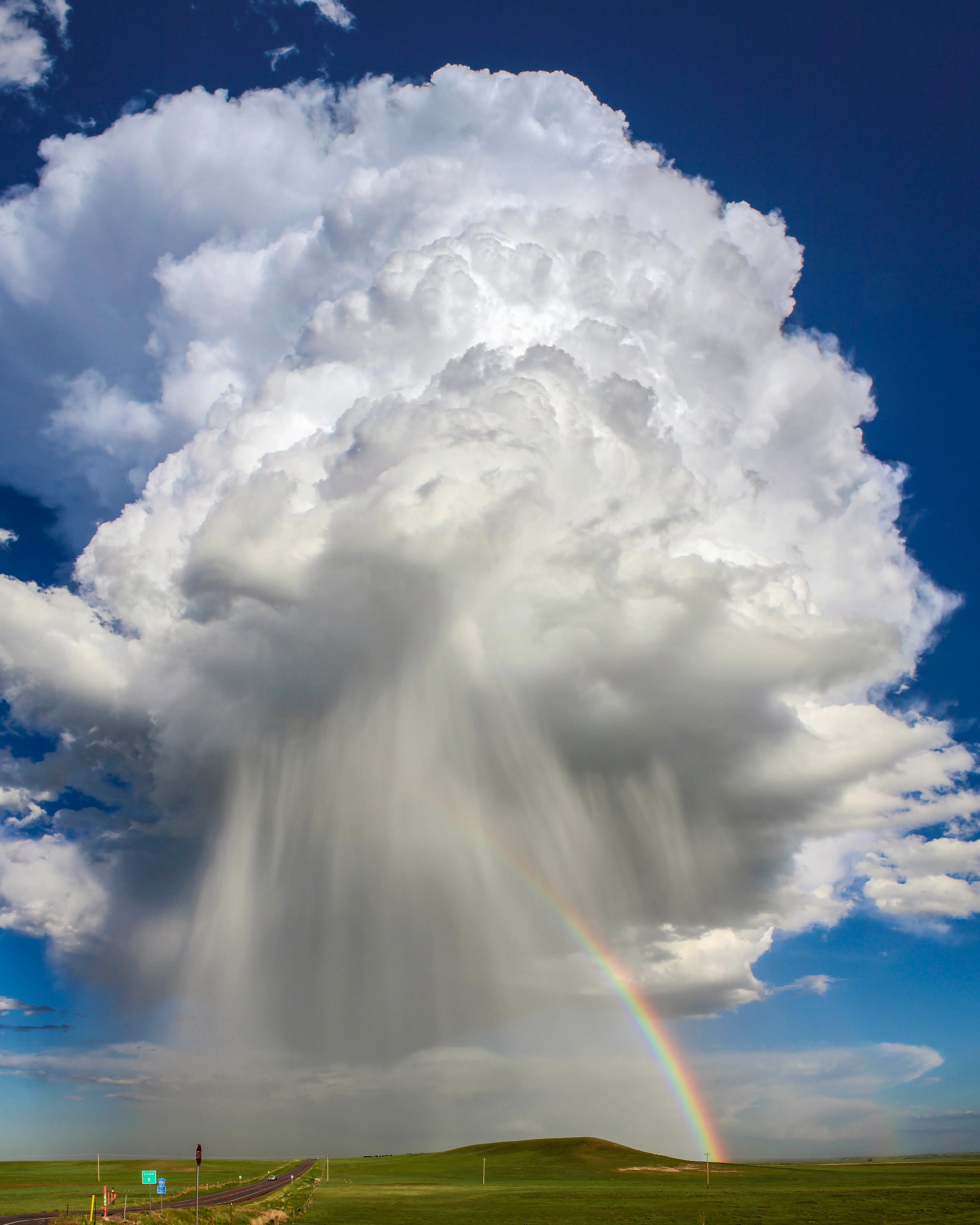
A cloudburst is an extreme weather event characterised by sudden, intense rainfall, typically over 100 mm per hour, within a small geographical area. In simplest terms, a cloudburst happens when clouds dump massive amounts of rain in small areas in a short timespan. These downpours are often caused by the rapid upward movement of warm, moist air into what's known as 'cumulonimbus clouds', where the moisture condenses and is released in a short burst. Mountainous regions like the Himalayas are especially prone to cloudbursts, as the steep terrain forces air upwards, intensifying rainfall.
Why are cloudbursts so destructive?
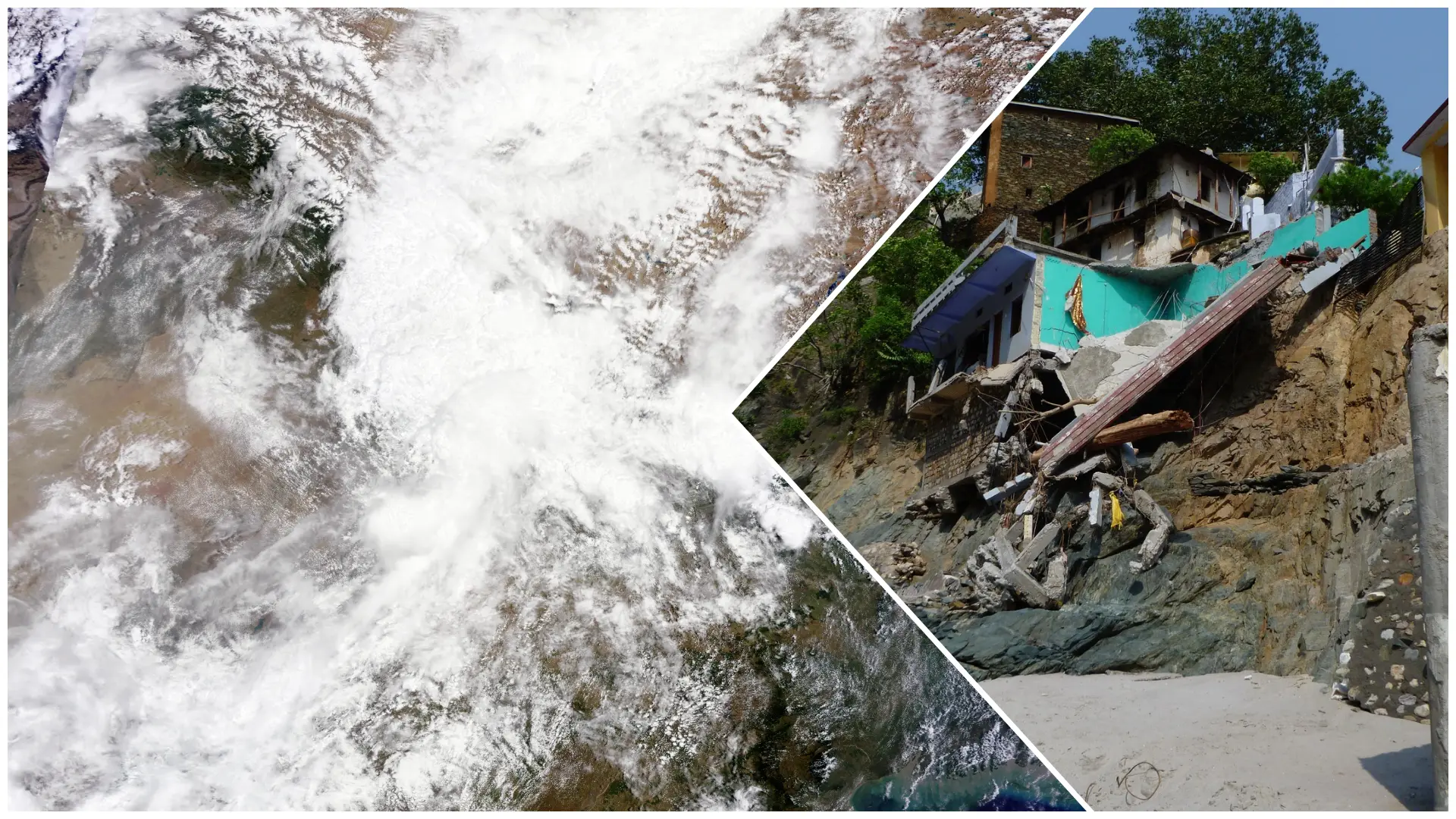
Cloudbursts are destructive because of the sheer volume of rain that falls in a short time, particularly on densely populated areas with no escape routes. This overwhelms natural and man-made drainage systems, leading to flash floods. In hilly areas, steep slopes accelerate the water runoff, triggering landslides and debris flows. Homes, roads, buildings and other infrastructure stand little chance. The soil quickly becomes saturated, further destabilising slopes and increasing the risk of erosion or collapse. The highly localised and sudden nature of cloudbursts also means that communities often have little to no warning.

Climate change and the increasing frequency of cloudburst incidents
There is growing scientific evidence that climate change is contributing to the increasing frequency and intensity of cloudbursts. A warmer atmosphere can hold more moisture, nearly 7 per cent more for every 1°C rise in temperature. This can lead to more powerful convective storms. The changing monsoon patterns and warming oceans, which result from climate change, are also altering regional weather systems, especially in South Asia. While not every cloudburst can be directly linked to climate change, the broader pattern of intensifying extreme rainfall events is consistent with climate predictions.

Cloudbursts are emerging as a pattern with extreme rainfall events in India
A 2023 study published in the Nature journal showed that extreme rainfall events in India have risen by 20–50 per cent in some regions since the 1950s. This rise is partially attributed to climate change-induced shifts in annual monsoon patterns. Cloudbursts are rising in frequency in north Indian states like Himachal Pradesh and Uttarakhand. Data from the Indian Meteorological Department also showed a marked rise in intense rainfall events, showing the changing weather dynamics in mountainous regions.
Cloudbursts to remain a serious threat
Cloudbursts will likely remain a serious threat, especially for vulnerable mountain communities like those in Uttar Kashi. While natural variability and local geography play roles in their occurrence, climate change is multiplying the risk. Improved forecasting, early warning systems, and better land-use planning will be critical in reducing the human and economic toll.
)
)
)
)
)