Satellite images capture Beirut before vs after devastating blast

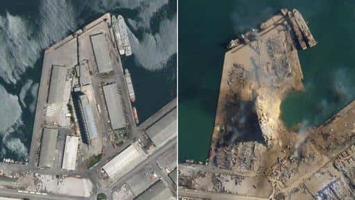
Storage at a warehouse
The incident is thought to have been caused by a fire detonating 2,750 tonnes of ammonium nitrate, which was being kept in storage at a warehouse in the port.

Infrastructure
The blast flattened many of the city’s buildings and damaged countless others.
The infrastructure that was there before lies in tatters, while a large building near the sea has been extensively damaged.
At least 135 people have been confirmed dead in the blast and more than 5,000 injured, reports say.
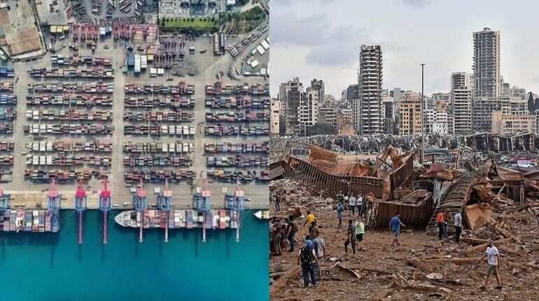
Port
The city’s port, which is vital to the country as an entry-point for imports, was the epicentre of the explosion. The pictures above show how most of the port was destroyed by the impact of the blast.
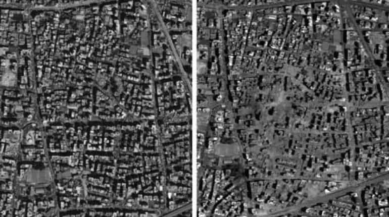
City
According to Lebanon's Prime Minister, Hassan Diab, 2,750 tons of ammonium nitrate, exploded on Tuesday. Ammonium nitrate is a highly explosive material used in fertilizers.
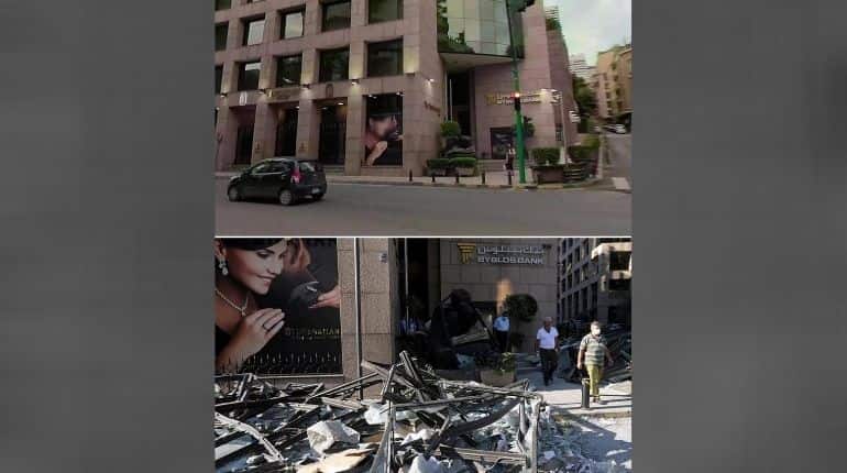
Banks
People walk past the broken windows of a Beirut bank. The damage caused on Tuesday comes on top of Lebanon’s financial woes and an increase in the number of COVID-19 infections.
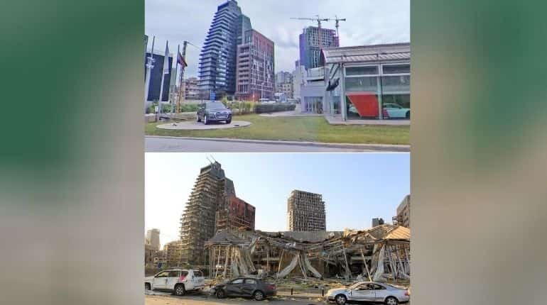
Car dealership
The aerial photograph on the top of a car dealership was taken by a satellite on 31 July, just four days before Tuesday’s incident. The after image shows how it now lies ruined near the port of Beirut.
)
)
)
)
)