Reaching -50°C? Coldest place on Earth this week will be in Canada

A massive Arctic air mass has shifted south, positioning the coldest air on the planet directly over Ontario, Canada. Meteorologists warn that mid-level atmospheric temperatures are hitting around -50°C.
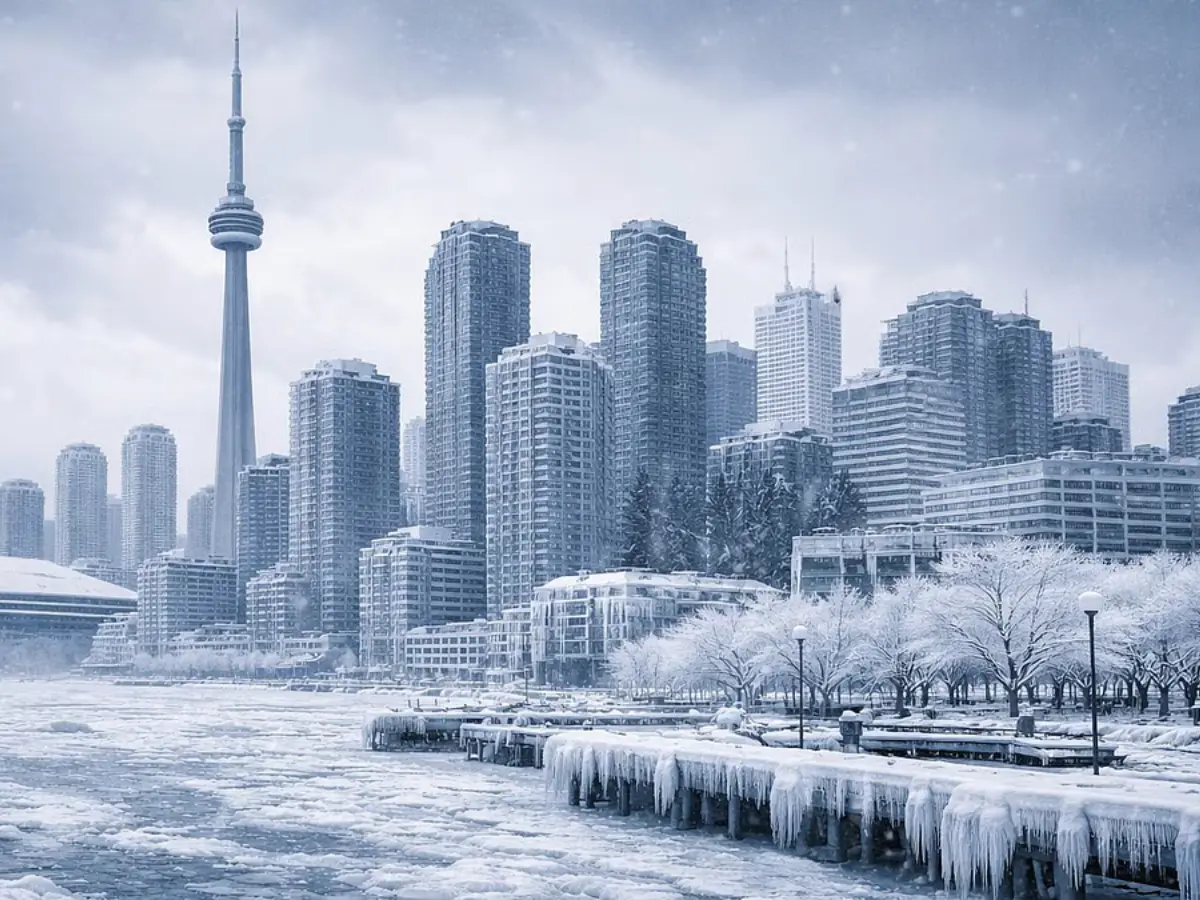
The coldest place on Earth
Data reveals that the core of the planet's coldest air mass is currently centred directly over Ontario. With temperatures plunging lower than typical Siberian extremes, the province has become the global epicentre of extreme winter cold this week.
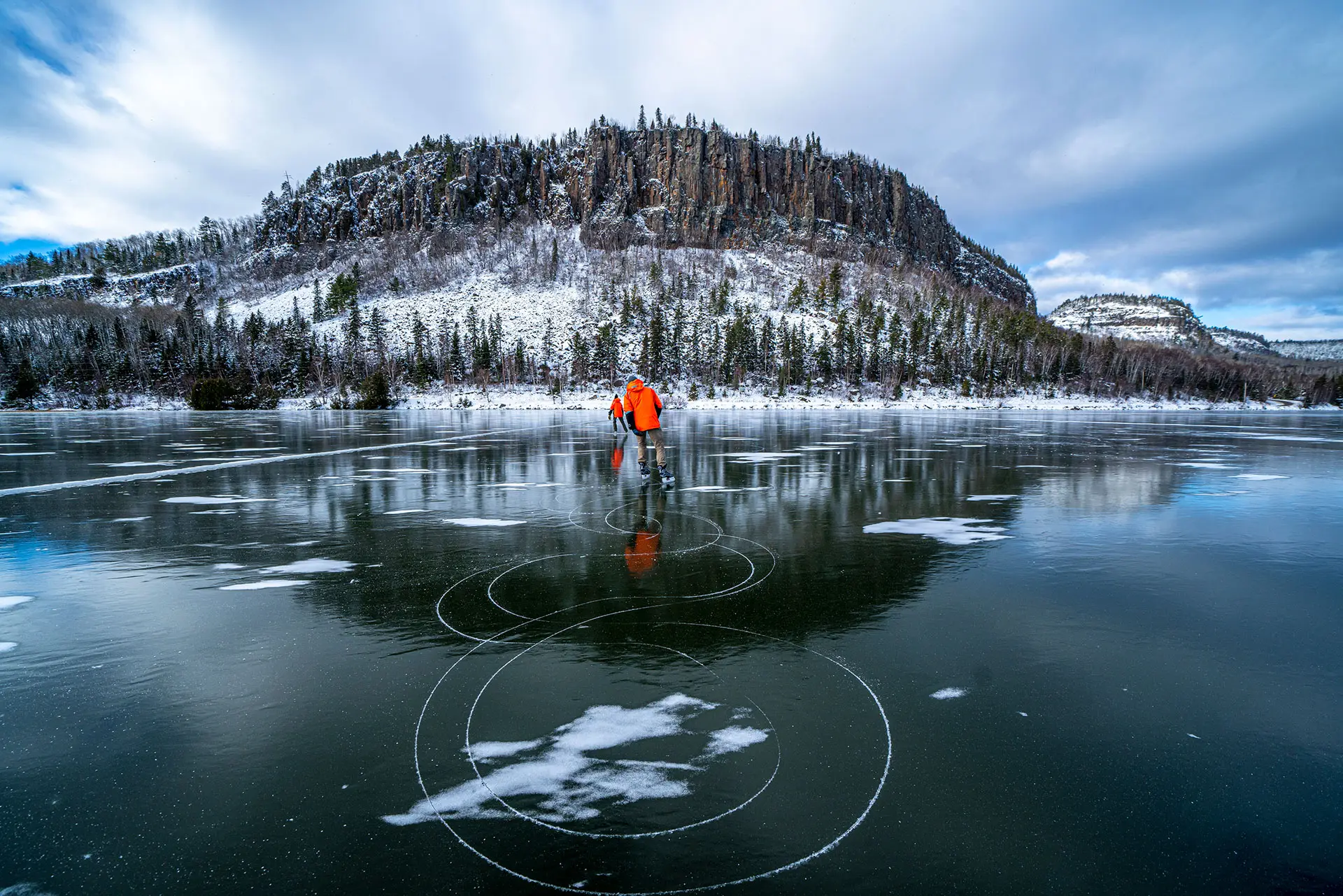
Hitting the -50°C mark Mid-level atmosphere freezes
Meteorologists confirm that temperatures in the mid-level atmosphere have dropped to a stunning -50°C. At the surface, this translates to punishing wind chills that are expected to reach between -45°C and -50°C in northern regions.

The Polar Vortex returns A barrier broken
The culprit is a "stretched" Polar Vortex, a large band of freezing air that usually sits over the North Pole. It has been knocked off balance by atmospheric waves, allowing frigid Arctic air to spill southwards and lock Ontario in a deep freeze.
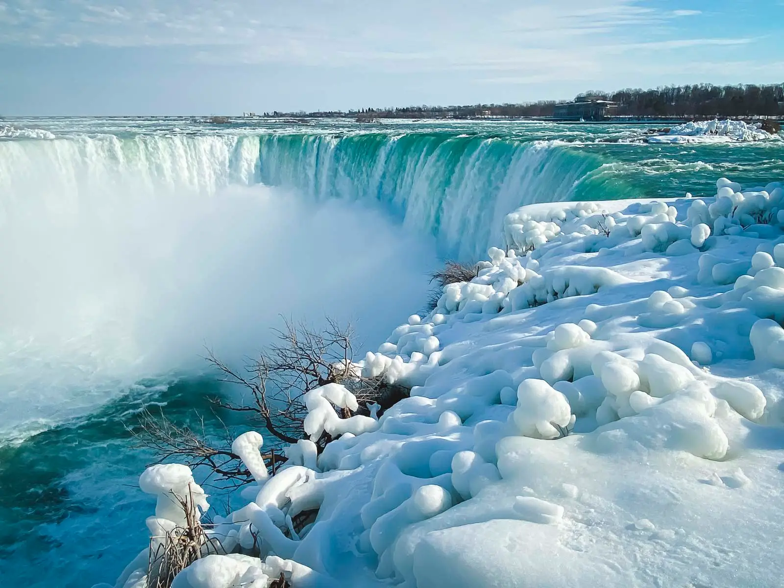
14 spots on the global list Dominating the cold charts
Current weather data indicates that 14 of the 20 coldest inhabited places on Earth right now are located in Ontario. Remote locations like Nagagami Lake are recording base temperatures below -41°C, even before wind chill is factored in.
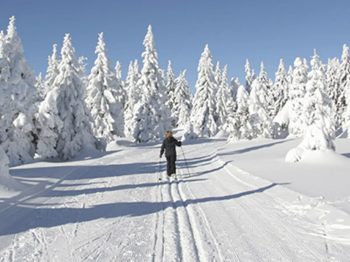
Frostbite in minutes Skin freezes instantly
Environment Canada has issued severe warnings, stating that exposed skin can freeze in less than two minutes. Residents are urged to cover every inch of skin, as the risk of frostbite and hypothermia is currently at its highest level of the season.

Shelters at capacity Emergency response in cities
In cities like Toronto, the "bone-chilling" cold has forced emergency warming centres to open 24/7. Outreach teams are working around the clock to bring vulnerable people indoors, as staying outside overnight in these conditions is life-threatening.
No quick relief Freezing until next week
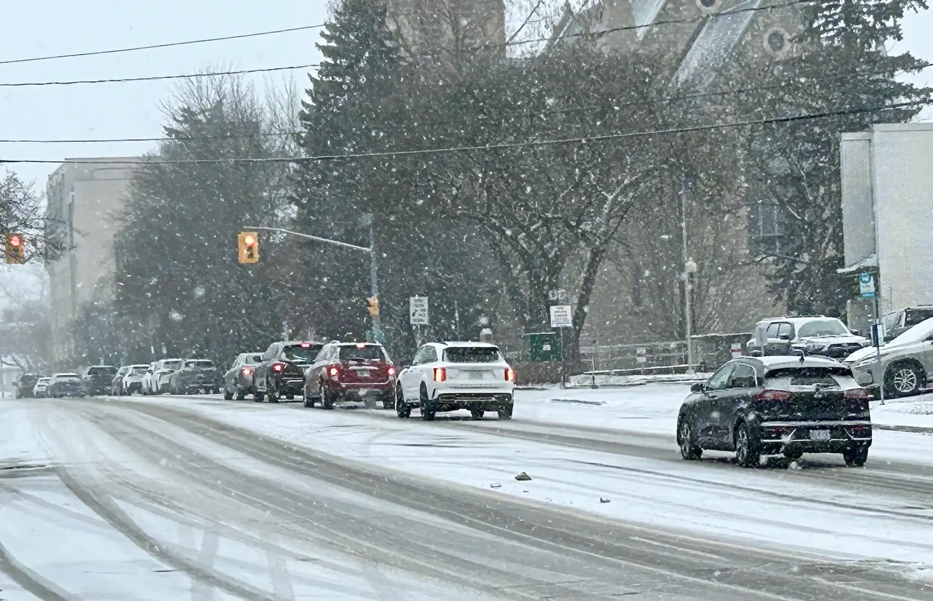
Forecasters warn there is no immediate end to the snap. The Arctic air mass is expected to linger through the weekend and into next week, bringing snow squalls to the Great Lakes and keeping temperatures well below seasonal averages.
)
)
)
)
)