New satellite images show Chinese military build-up and activity along Galwan valley


Point of border conflict
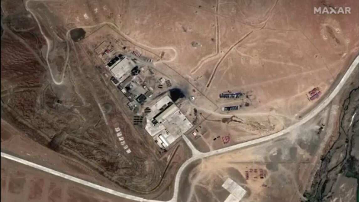
Still photograph of satellite image showing Line of Actual Control border and patrol point 14.
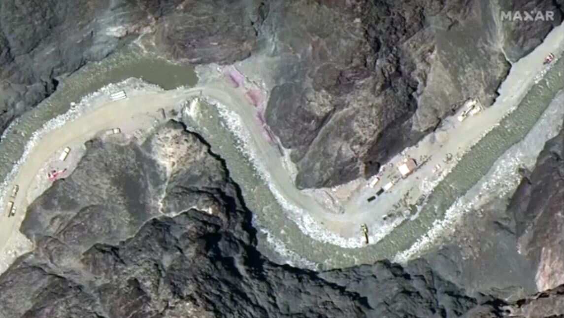
Road construction
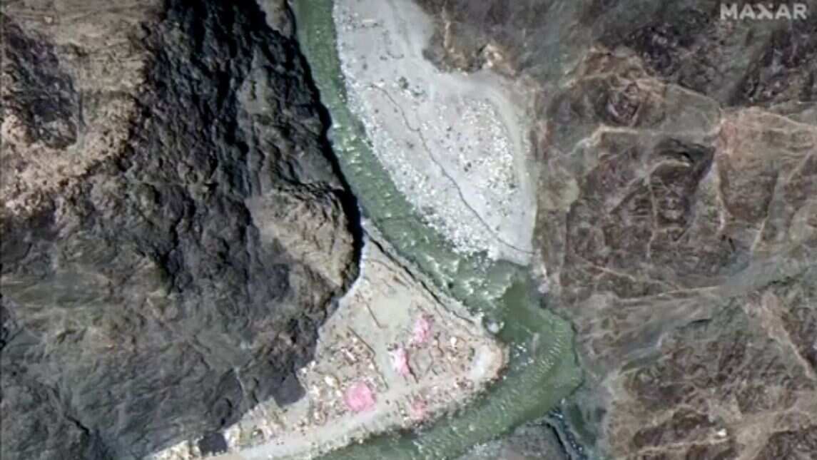
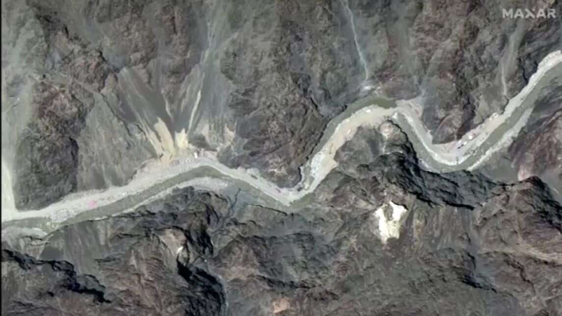
Still photograph of satellite image showing road construction near Line of Actual Control border and patrol point 14
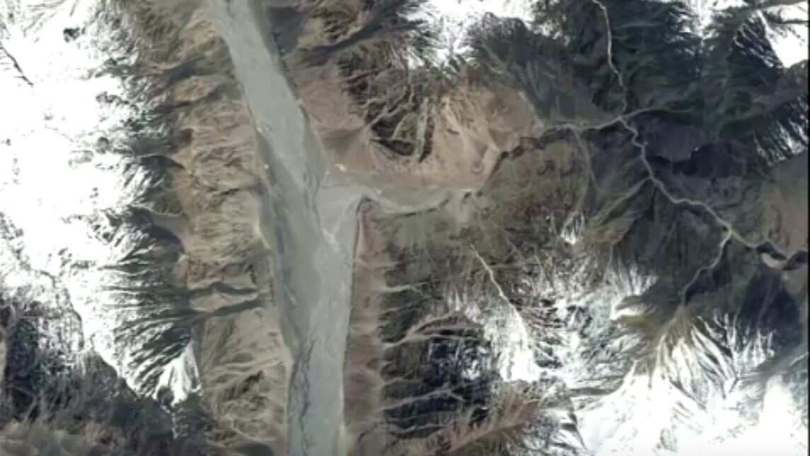
Pre and post altercation visuals
Some of the images show the Galwan Valley and Line of Actual Control on Monday (June 22), while others are from May 22, before the confrontation.
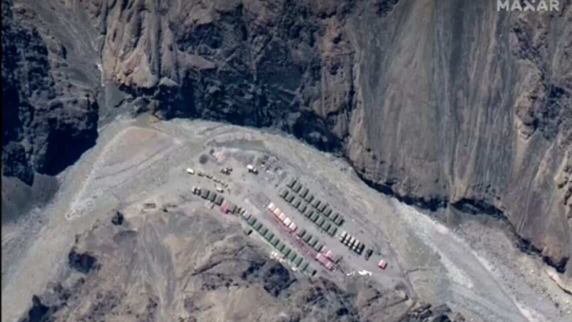
'Earth moving equipment'
Maxar said some of the June images show "earth moving equipment" on a road near the patrol point where the clash took place, but did not identify which country the equipment belonged to.
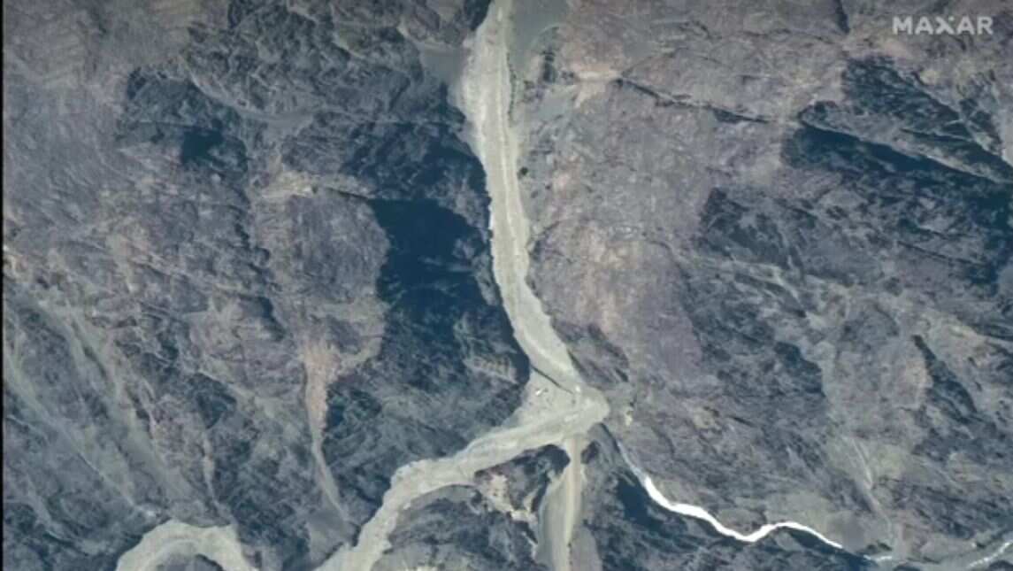
'Step back'
On Tuesday (June 23), Indian and Chinese military commanders agreed to step back from the confrontation over the disputed stretch of border, government officials in New Delhi and Beijing said.
Rocks and sticks
During the clash in the Galwan Valley on June 15, soldiers from both sides beat each other with rocks and wooden sticks embedded with nails
No firearms
Both sides have observed a long-held protocol to avoid using firearms on the sensitive, high altitude frontier.
Deadliest clash in 50 years
The deadliest border clash in more than half a century between the nuclear armed giants had stunned the world, and fuelled calls for a boycott of goods from China, India's second biggest trading partner.
Chinese artillery spotted
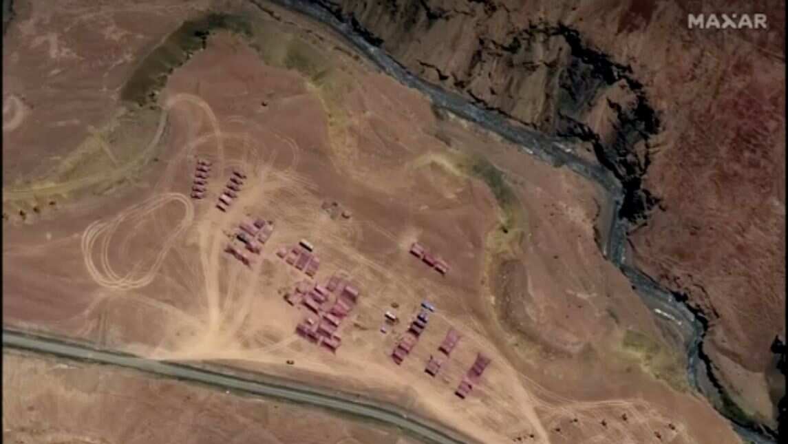
Still photograph of satellite image showing PLA (China's People's Liberation Army) tank company and artillery north of Gogra.
)
)
)
)
)