Most amazing landscapes in Google Earth viewed from space

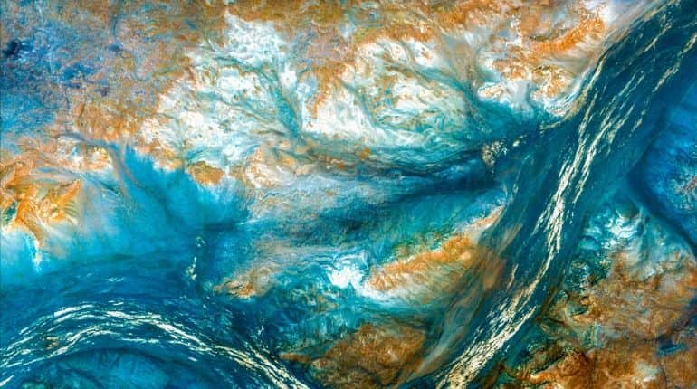
Northern Borders Province
This picture shows the northern borders province in Saudi Arabia which is the least populated region in Saudi Arabia.
(Image courtesy: Google Earth View)
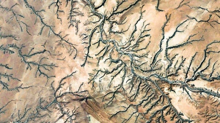
Calawla
This image shows Calawla in Somalia which is the capital of Alula district. This district is in the northeastern Bari region of Somalia.
(Image courtesy: Google Earth View)
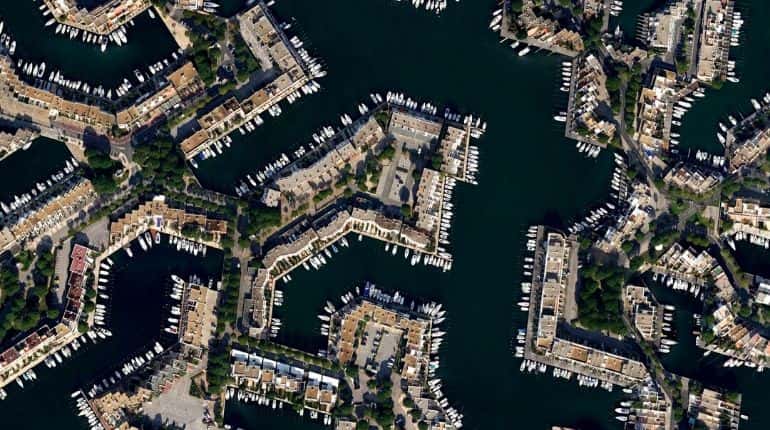
Le Grau Du Roi
This image shows Le Grau Du Roi in France which is a resort on the French Mediterranean coast.
(Image courtesy: Google Earth View)
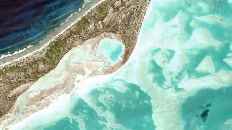
Line Islands
This image shows the Line Islands in Kiribati which are a chain of atolls and coral islands.
(Image courtesy: Google Earth View)
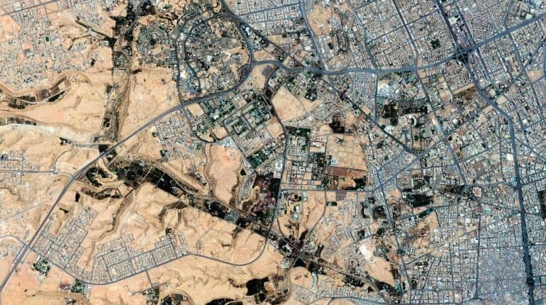
Riyadh
This image shows Riyadh the capital of Saudi Arabia. It is also the largest city on the Arabian Peninsula.
(Image courtesy: Google Earth View)
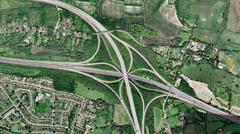
Bletchingley
This photo shows Bletchingley which is a village in Surrey, England.
(Image courtesy: Google Earth View)
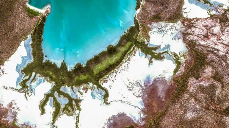
East Arnhem
This photo shows East Arnhem Regional Council which is a local government area of the Northern Territory, Australia.
(Image courtesy: Google Earth View)
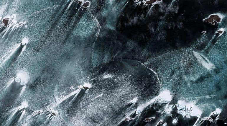
Antarctica
This picture shows the Antarctica which is Earth's southernmost continent. It contains the geographic South Pole and is situated in the Antarctic region of the Southern Hemisphere.
(Image courtesy: Google Earth View)
)
)
)
)
)