Japan earthquake: Honshu’s four-plate conjunction just triggered a 7.4 quake

Japan Earthquake: Monday's 7.4 magnitude earthquake off the Sanriku Coast, on the northeastern side of the island of Honshu, triggered a tsunami warning for nearby areas. Honshu sits on a four-plate conjunction, making the region vulnerable to earthquakes.
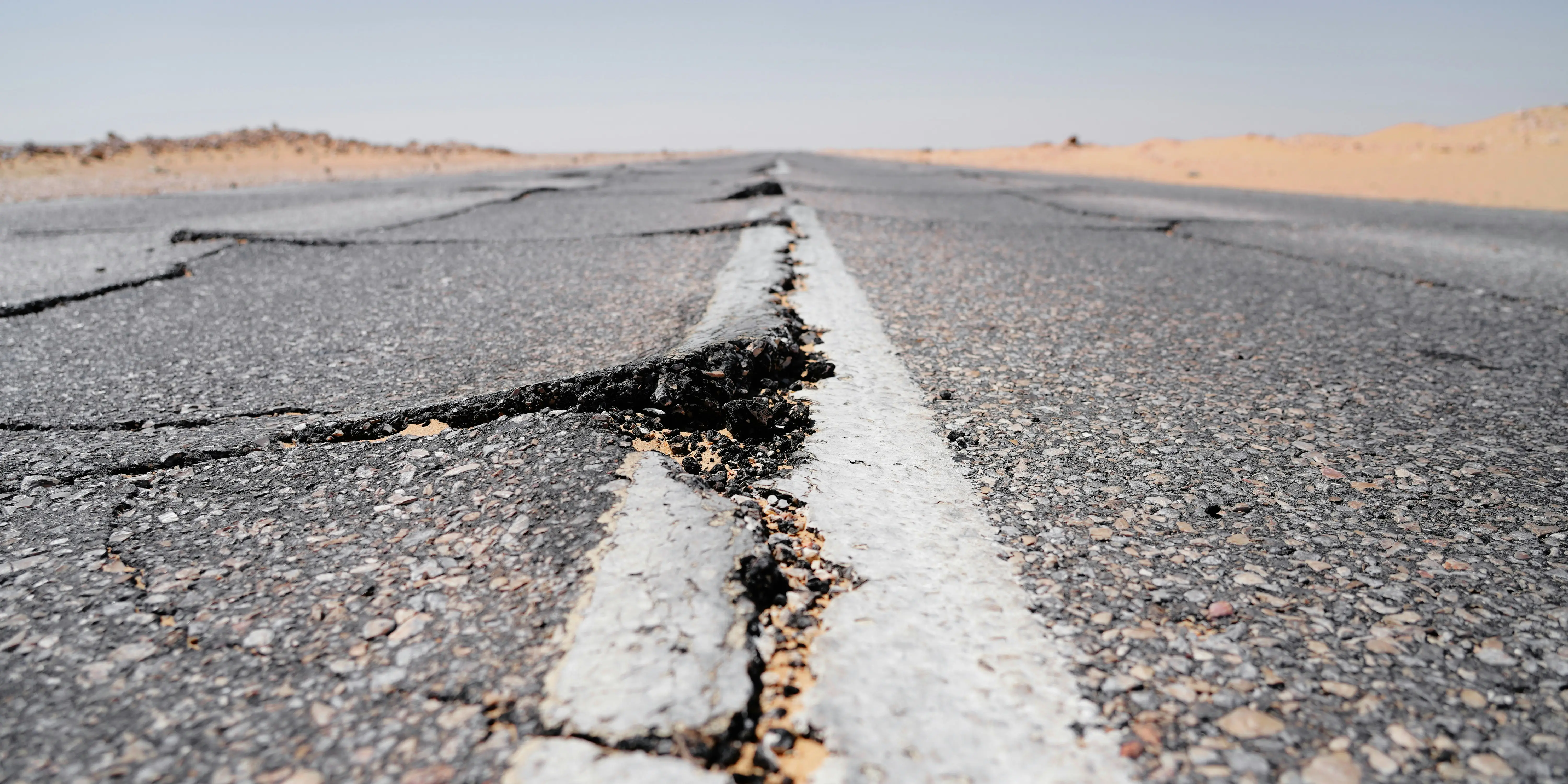
7.4 magnitude strikes Honshu, Japan
A powerful 7.4 magnitude earthquake struck off the coast of Sanriku on Monday (April 20), triggering a tsunami warning for Hokkaido and Iwate prefectures. Waves as high as three metres are expected and are already approaching coastal areas. National broadcaster NHK said that the waves could strike repeatedly, and everyone should move to safer areas. The shaking was so strong that buildings as far as Tokyo also shook for several minutes. The Sanriku Coast is a rugged 600km Pacific coastline in northeastern Honshū, which sits on a complex tectonic plate design, making the region highly prone to massive earthquakes.
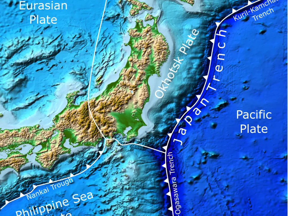
Four tectonic plate conjunction at Honshu
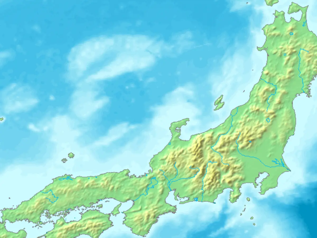
Honshu is Japan's largest island and one of the most complex and geologically active regions on Earth. It sits on a conjunction of four tectonic plates. In the northern part is the Okhotsk plate, or the North American plate, which moves according to the three other plates around it. It is southern Honshu that lies on the Eurasian plate, also known as the Amurian plate, while the Pacific and Philippine Sea plates subduct beneath it.
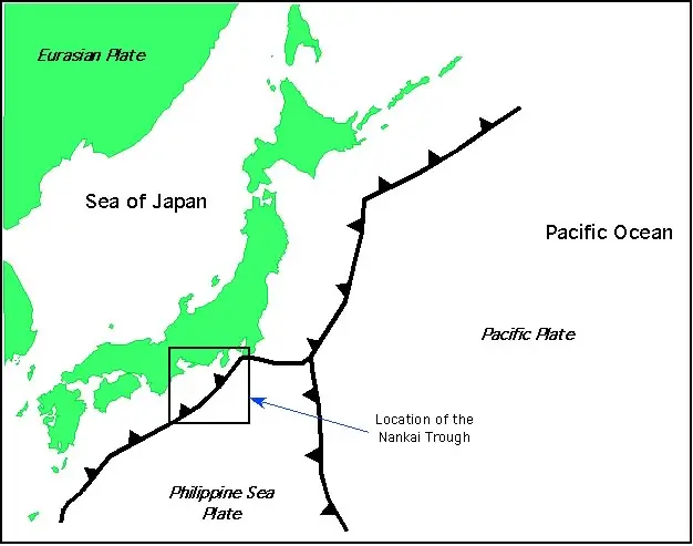
Tectonic plate interaction at Honshu
The Pacific Plate moves west/northwest, and subducts beneath northern Honshu, and is driving subduction at a speed of 8-9 centimetres each year. The Philippine Sea Plate moves northwest and subducts beneath southern Honshu at the Nankai Trough. The Eurasian Plate borders the western side of Japan. As these plates interact with each other, they create distinct structural zones across the island.
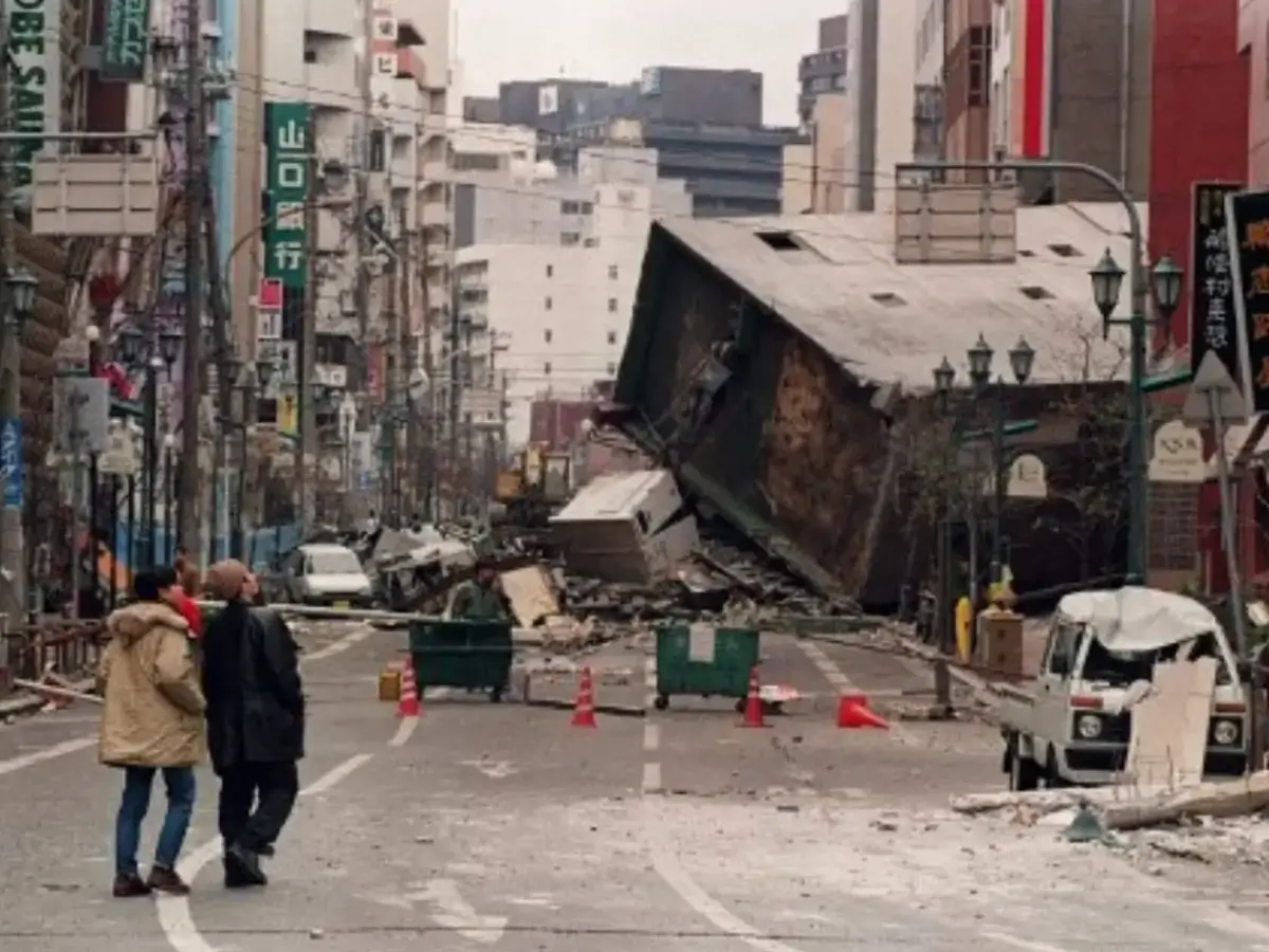
Pacific plate subduction and the 2011 Tōhoku earthquake
Located off the east coast of northern Honshu, this is the place where the Pacific Plate subducts. The 2011 Tōhoku earthquake and tsunami were a result of this boundary. The "old and cold" subduction in this region means the dense oceanic crust sinks steeply into the mantle. The Philippine Sea Plate subduction beneath southern Honshu at the Nankai and Sagami Troughs triggers megathrust earthquakes in the region.
Okhotsk and Amurian plates colliding under Honshu
At the Sagami Trough, the Philippine Sea Plate subducts under the Okhotsk Plate. This boundary is located just south of Tokyo and was responsible for the devastating 1923 Great Kantō earthquake. The Okhotsk and Amurian plates are also smashing into each other in central Honshu, which causes the mountainous landscape here. All these plates together create a dangerous scenario for the Honshu island in Japan.
Monday's Japan earthquake triggers tsunami waves
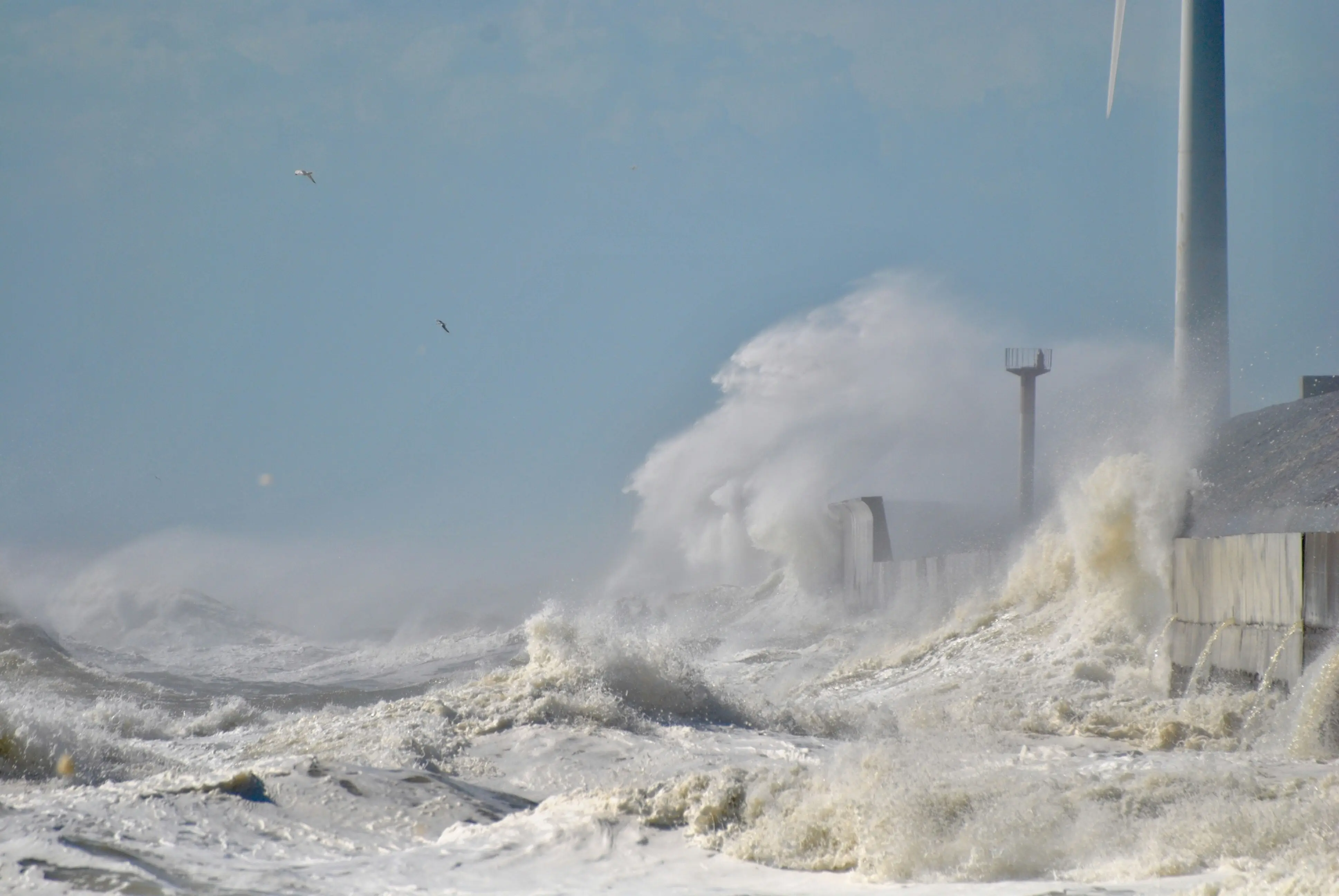
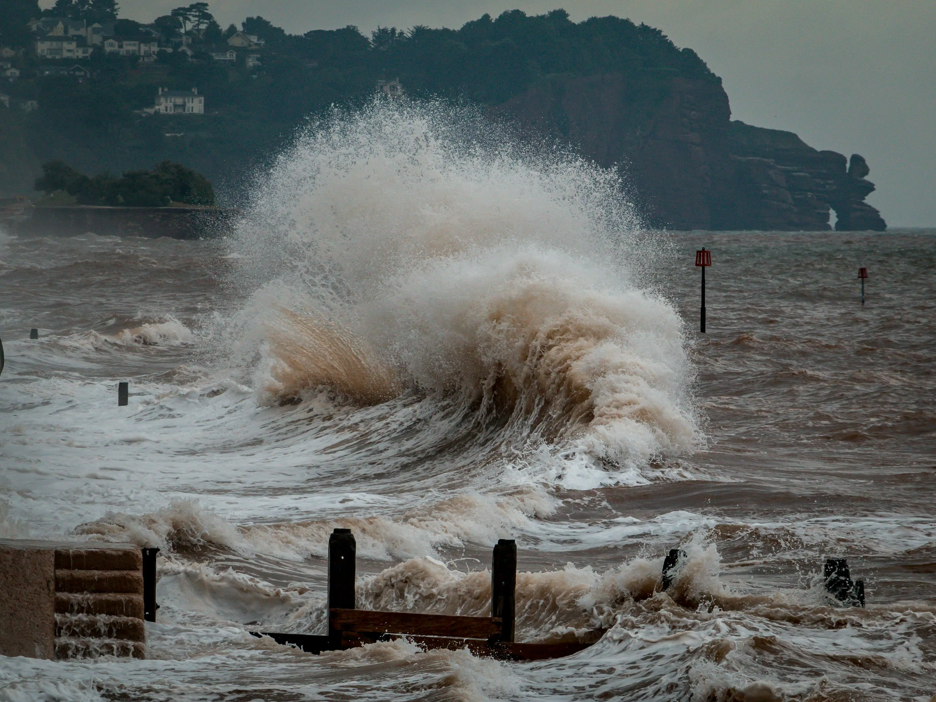
Monday’s quake struck at a depth of 10 kilometres at 4:53 pm, following which a 40-centimetre tsunami was observed at the Miyako Port in Iwate Prefecture. NHK reported that a tsunami was observed 60 km off the coast of Iwate and Aomori, and the waves are expected to slam into the coast soon. Videos showed ships swaying from the small tsunami waves.
“Tsunami! Evacuate! Don’t turn back"
Television news channels flashed messages, urging people to move to higher ground. They told them to “remember the 3/11 disaster”. “Tsunami! Evacuate! Don’t turn back,” the warning message on NHK read in English for non-Japanese residents. Tokyo, Prime Minister Sanae Takaichi said,
“At this time, we are still confirming the material damage and impact on residents, but we will receive detailed reports shortly and proceed with disaster response efforts.”
)
)
)
)
)