Is Afghanistan splitting apart? Scientists probe deadly earthquake and shifting tectonic plates

Afghanistan’s seismic activity is intensified by its position within the Alpine–Himalayan orogenic belt, where the Indian, Arabian, and Eurasian plates converge.
The 6.0 Magnitude Earthquake That Shook the Region
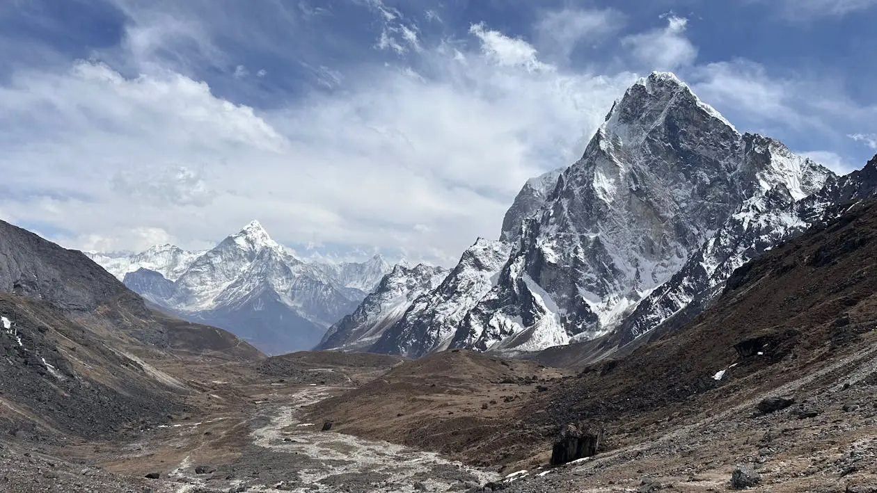
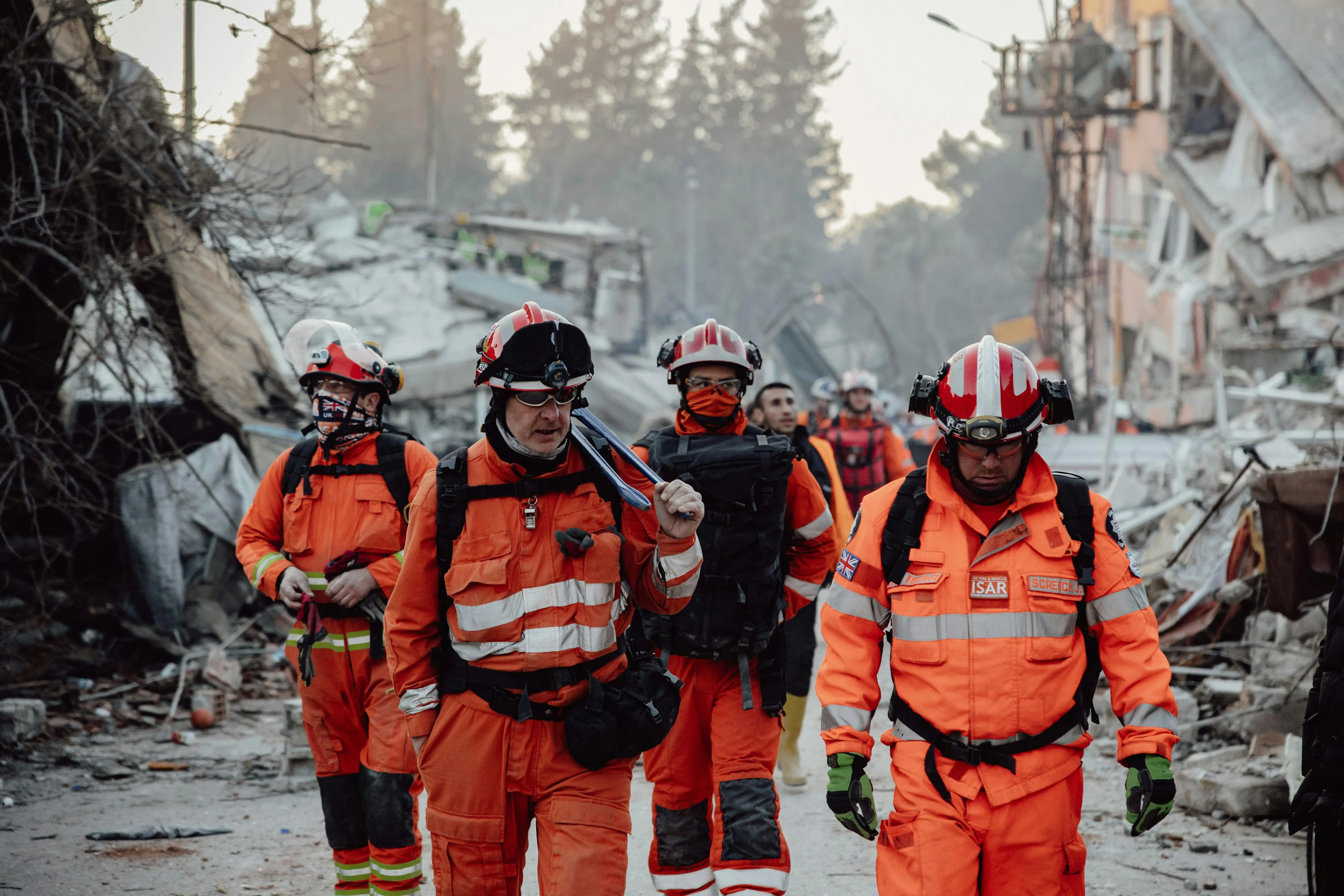
Late on Sunday night, a magnitude 6.0 earthquake struck eastern Afghanistan near Jalalabad, with the epicentre, situated only 8–10 km beneath the surface. The tremor brought devastating consequences: at least 622 people were killed and over 1,500 injured, with entire villages razed in Kunar and Nangarhar provinces, as confirmed by Reuters and local authorities. Rescue operations are ongoing amid difficult terrain and poor infrastructure.
Plates Colliding, Not Pulling Apart
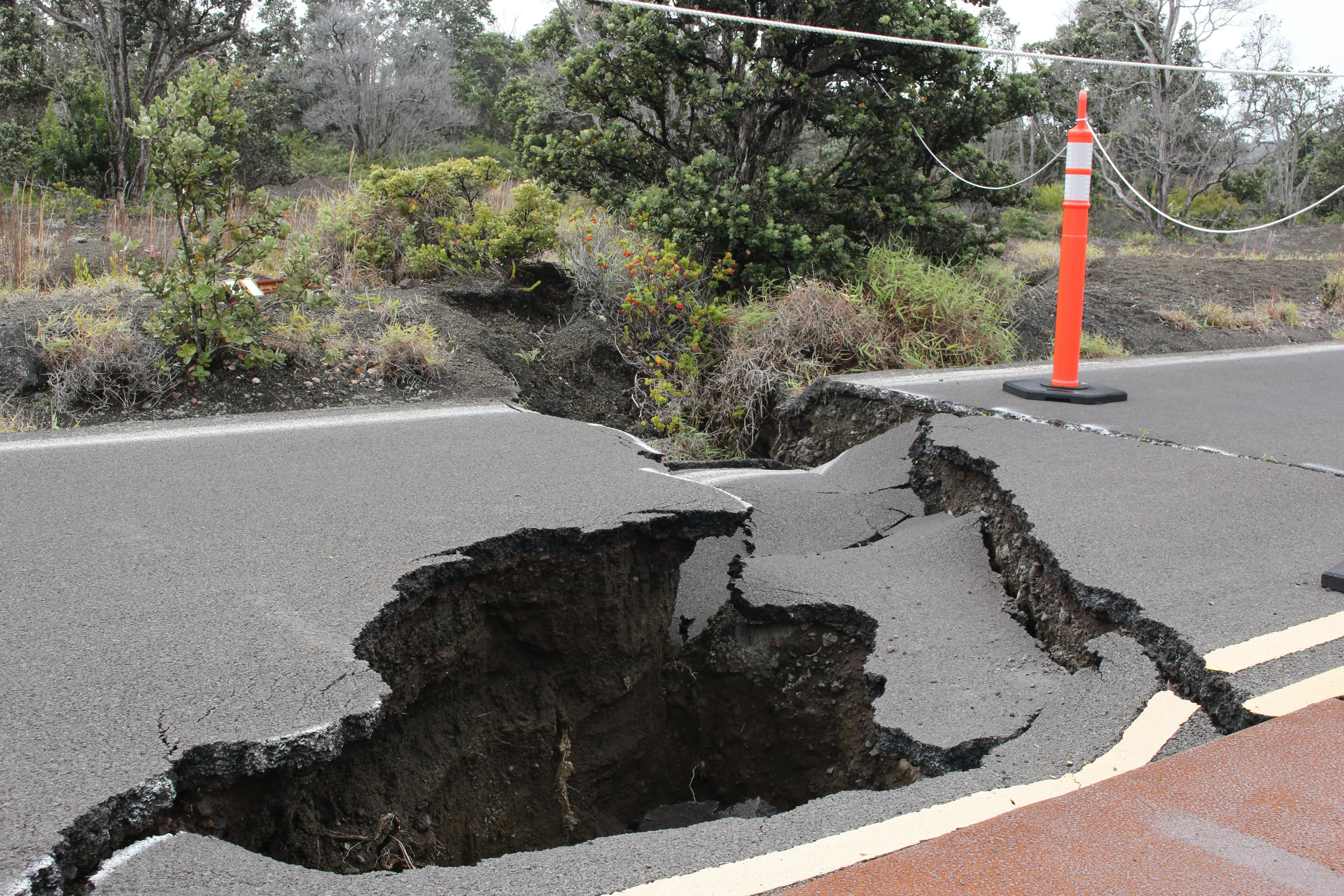
The fierce earthquake results from seismic activity caused by the collision, not separation of tectonic plates. The Indian Plate pushes steadily northward into the Eurasian Plate, deforming the crust and triggering quakes throughout Afghanistan. Rather than drifting apart, the land is being compressed, folded, and uplifted by immense geologic forces.
A Complex Web of Active Faults
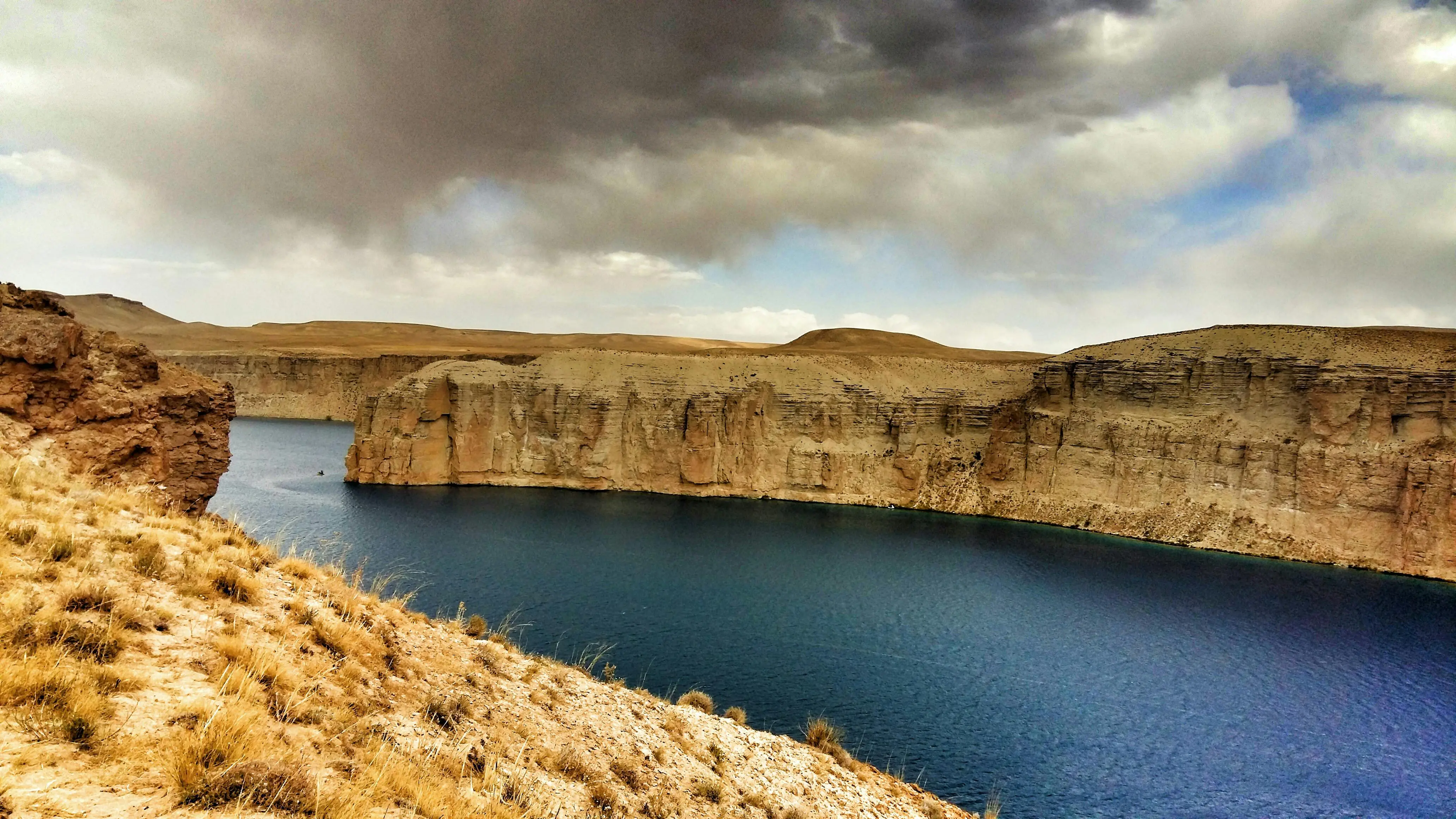
Afghanistan’s seismic activity is intensified by its position within the Alpine–Himalayan orogenic belt, where the Indian, Arabian, and Eurasian plates converge. Regions such as the eastern Hindu Kush and Pamir Knot are riddled with faults, including the major Chaman Fault, which remains one of the most tectonically active areas in the country.
The Shallow Depth Amplified the Devastation
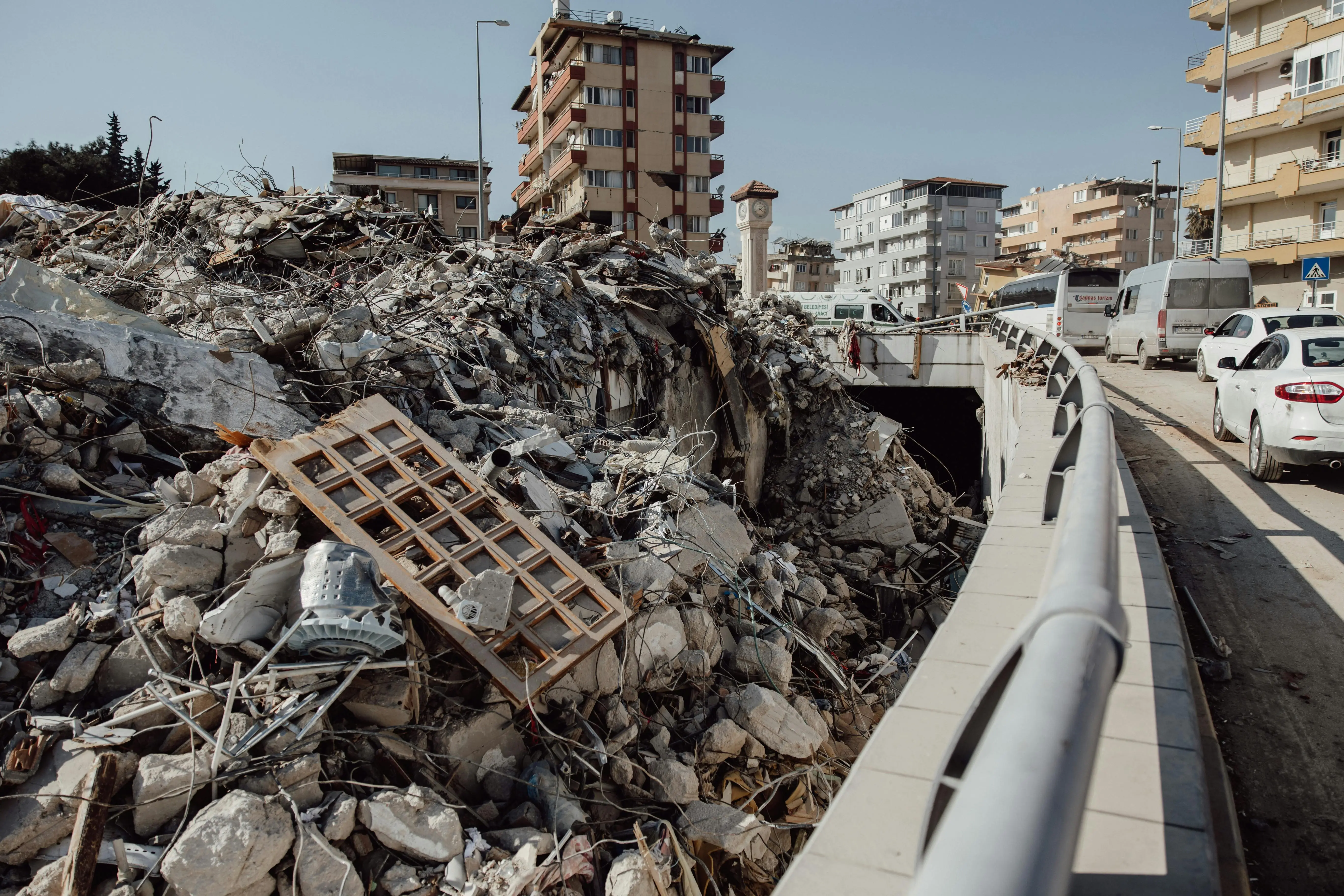
What made today’s quake especially destructive was its shallow depth (8–10 km). Shallow quakes transmit more intense shaking to the surface, making even moderate-magnitude earthquakes highly destructive, especially in regions with fragile infrastructure like rural Afghanistan.
An Earthquake-Prone History
Afghanistan has a tragic history of seismic disasters from the 1998 Northeastern quake that killed thousands, to more recent events such as the 2022 Khost earthquake. This long record highlights the country’s vulnerability due to its location on active fault networks and its often-precarious building standards.
Poor Construction and Geographic Challenges
Many of the affected areas consist of rural villages with homes built from mud bricks and stones, materials prone to collapse during tremors. Afghanistan’s mountainous landscape and limited roads delay rescue efforts and impede relief delivery, exacerbating the human cost when disasters strike.

Realigning Infrastructure and Awareness
This tragedy emphasises that Afghanistan’s earthquake hazard stems from tectonic collision, not continental rifting. It underscores the urgent need for better disaster preparedness, improved construction standards, and integrated regional cooperation, especially since earthquakes in collision zones are frequent and often deadly.
)
)
)
)
)