How the F-35 fighter jet creates a real-time 3D map of the battlefield

The F-35 creates a real-time 3D map of the battlefield by fusing data from advanced radar, infrared cameras, and targeting systems. Pilots see this integrated view via their helmet display, enabling better situational awareness, teamwork, and mission success in complex combat environments.
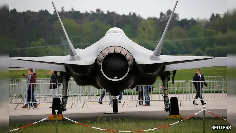
Advanced Sensor Fusion Builds a 3D Picture
The F-35 combines data from multiple sensors, including radar, infrared cameras, and electro-optical systems to create an integrated, 360-degree 3D map around the aircraft, giving pilots a comprehensive view of the battlespace.
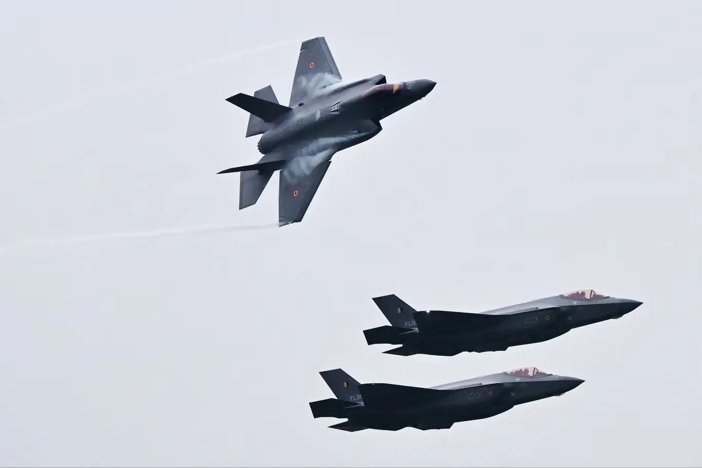
Active Electronically Scanned Array (AESA) Radar
The F-35’s AN/APG-81 AESA radar provides long-range detection of air and ground targets. It continuously scans and updates the 3D map, allowing early threat identification and tracking during a mission.
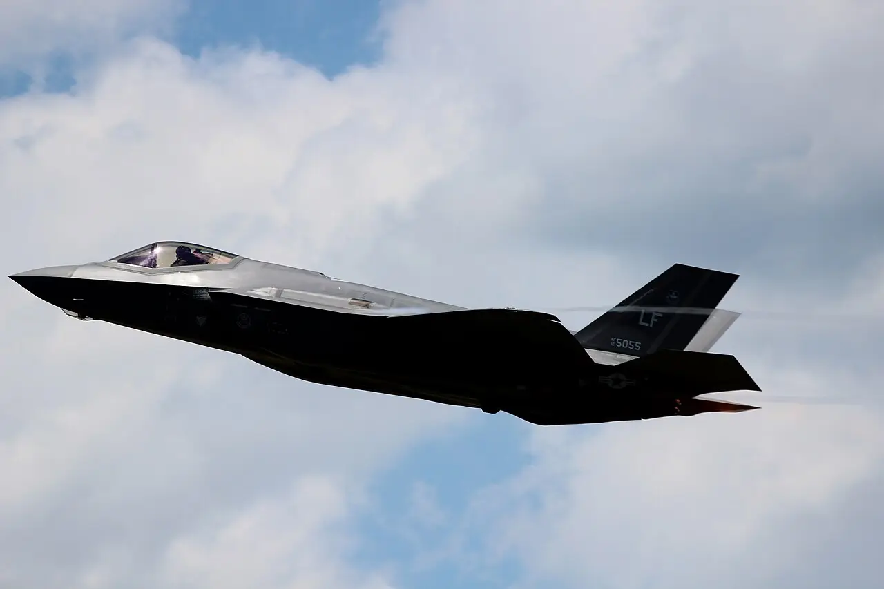
Distributed Aperture System (DAS) Cameras
Six infrared cameras mounted around the aircraft capture real-time imagery providing visual situational awareness, which is fed into the 3D map and displayed on the pilot’s helmet-mounted display.
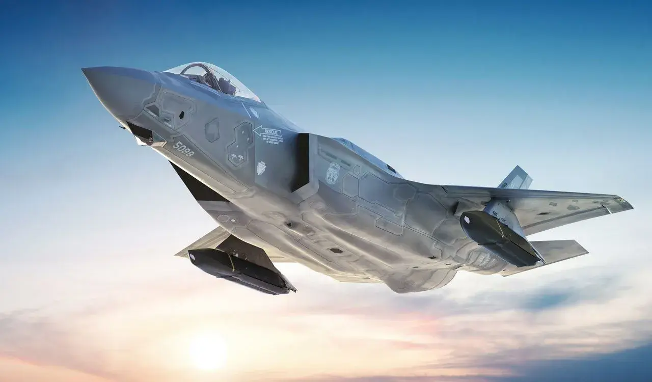
Electro-Optical Targeting System (EOTS)
The F-35’s stealthy EOTS sensor identifies and tracks distant ground and air threats with high accuracy. It integrates into the 3D map to aid precision targeting and reduce pilot workload.
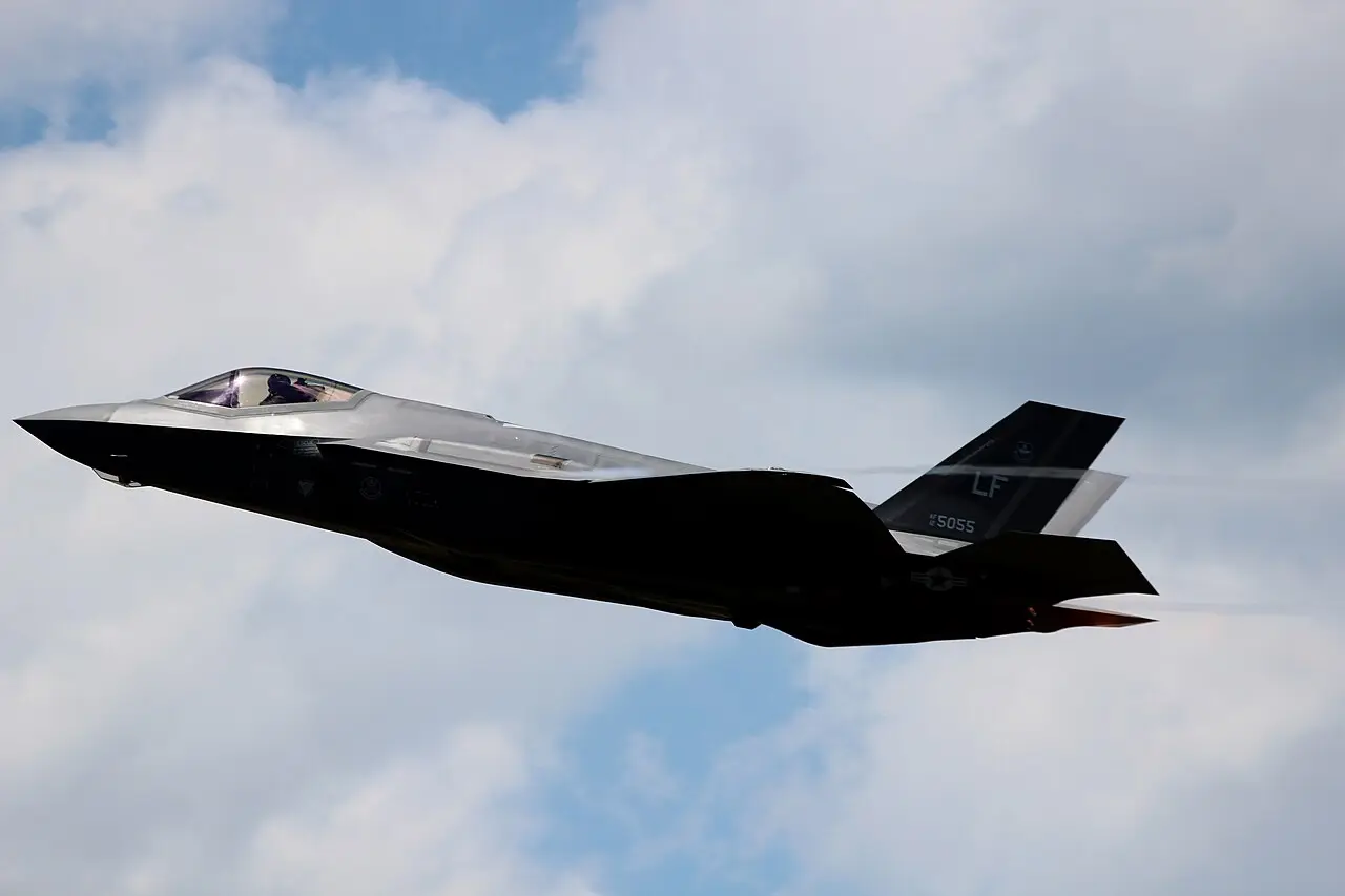
Helmet Mounted Display System (HMDS)
The pilot’s helmet shows the 3D battlefield directly in their line of sight, blending sensor data with navigation and targeting information to provide critical, real-time situational awareness.
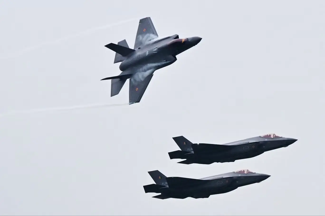
Networking and Information Sharing
Multiple F-35s in formation share data via the Multifunction Advanced Data Link (MADL), ensuring each pilot sees a synchronized, accurate 3D picture, improving team coordination and tactical decision-making.
Ground Force Integration and Mission Success
The real-time 3D map also coordinates with ground units, allowing pilots to direct allied forces accurately and adapt quickly to changing battlefield conditions, enhancing mission effectiveness.
)
)
)
)
)