How India's ISRO-NASA mission NISAR could help early-warning systems curb natural disasters

How India’s ISRO-NASA NISAR mission will help to spot earthquakes, floods, and landslides early by mapping Earth with radar. And how it improves global early-warning systems and disaster response. Know more; read more below.
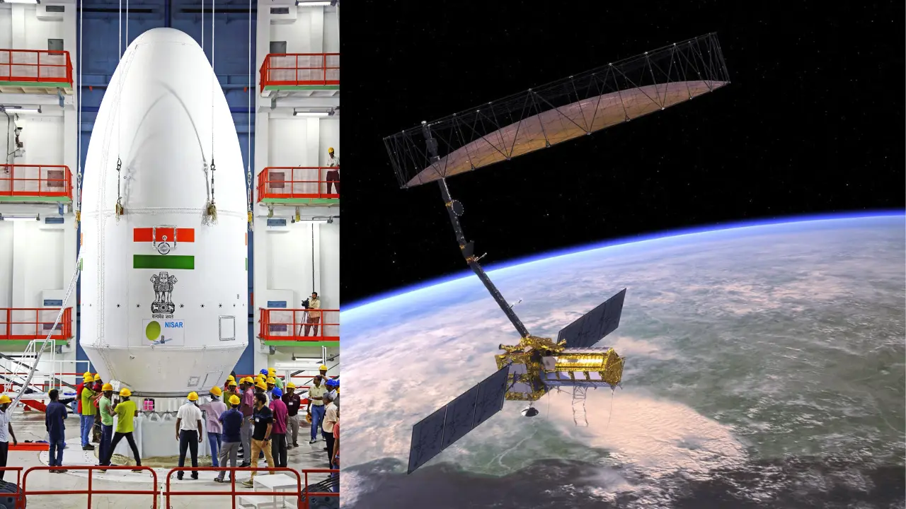
What is the NISAR mission?
NISAR stands for NASA-ISRO Synthetic Aperture Radar. It is a satellite mission between India and the United States, together will be launching in 2025. Nisar will use twin radars to scan the Earth and track small land movements. Experts say this will help detect natural disaster risks much earlier than usual.
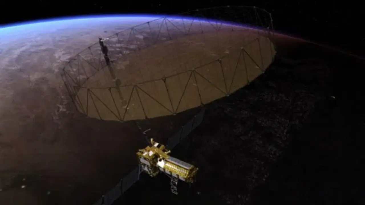
Spot tiny land movements for early warnings
The NISAR satellite can detect ground changes as small as one centimetre. This means scientists can see the earliest shifts along earthquake fault lines, slopes, or volcanoes. By catching warning signs quicker, authorities can prepare and warn people before disaster grows, according to nasa mission factsheet.

Maps the globe every 12 days
NISAR will map the Earth nearly every 12 days, giving almost real-time updates on land and ice movement. This frequent coverage is very vital for monitoring hazards like landslides, floods or ice melt on Earth. As per the ISRO press release.
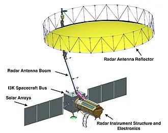
Sees through clouds, smoke, and darkness
Unlike normal satellites, NISAR’s radar sees through clouds, dust, and at night. This is very important during storms, wildfires and floods. During the 2020 floods in Asia, similar radar helped spot submerged areas even in heavy rain.
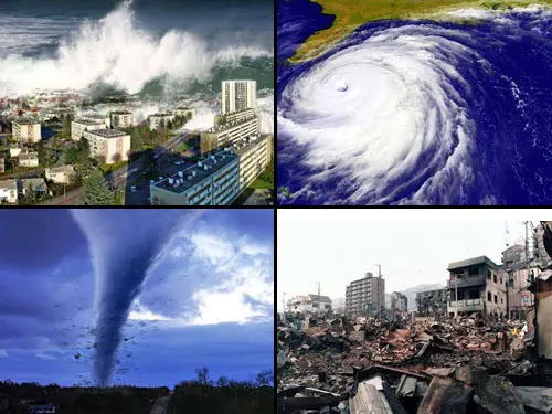
Disaster applications: Earthquakes, floods, landslides
Nisar data will help track:
Earthquake risk by watching tiny shifts along faults
Landslides by monitoring slow ground “creep”
Volcanoes by seeing ground swell or sink before eruption
Floods by measuring soil wetness and water levels, even under cloud cover

Sends Essential data to all
NISAR will deliver emergency data within hours. Scientists, officials and communities will get fast updates for early disaster response. All this information will be openly shared, so any country can use NISAR data for disaster planning or response as per the NASA Open Data Policy.

Beyond disasters, building resilience
NISR will help not just in emergencies but it also long term. The satellite’s data can shape where to build homes, protect roads or warn about glacier movement. These smart choices mean fewer losses from disasters over time. So the results will boost climate safety and global teamwork in disaster management.
)
)
)
)
)