Deadly twisters: THESE American states are hit by tornadoes the most - Check top 7 list inside

The data from the Storm Prediction Centre from 2003 to 2022 highlights the central and southern United States as the global epicenter for tornadic activity. Check the top 7 states of the US with the highest average number of tornadoes per year.
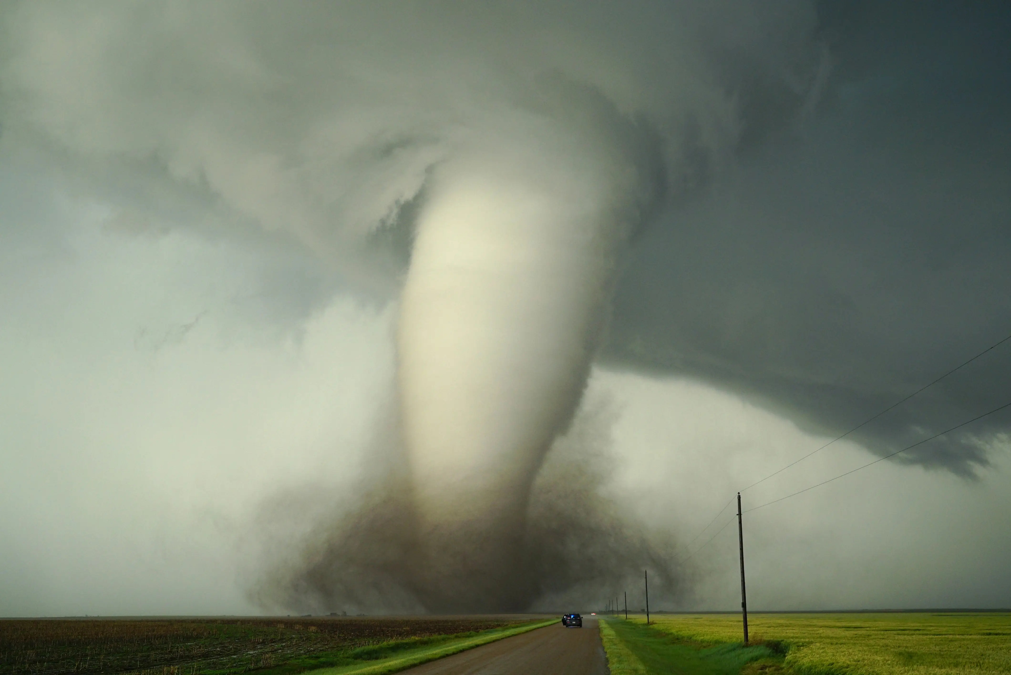
1. Texas (124 Tornadoes/Year)
As the largest state in the contiguous U.S., Texas naturally records the highest volume of storms. Its vast geography spans from the humid Gulf Coast to the dry western plains. This creates a massive “Dry Line”, a boundary where dry air meets moist air, that frequently triggers explosive supercell thunderstorms, particularly in the northern Panhandle and North Central regions during the spring.
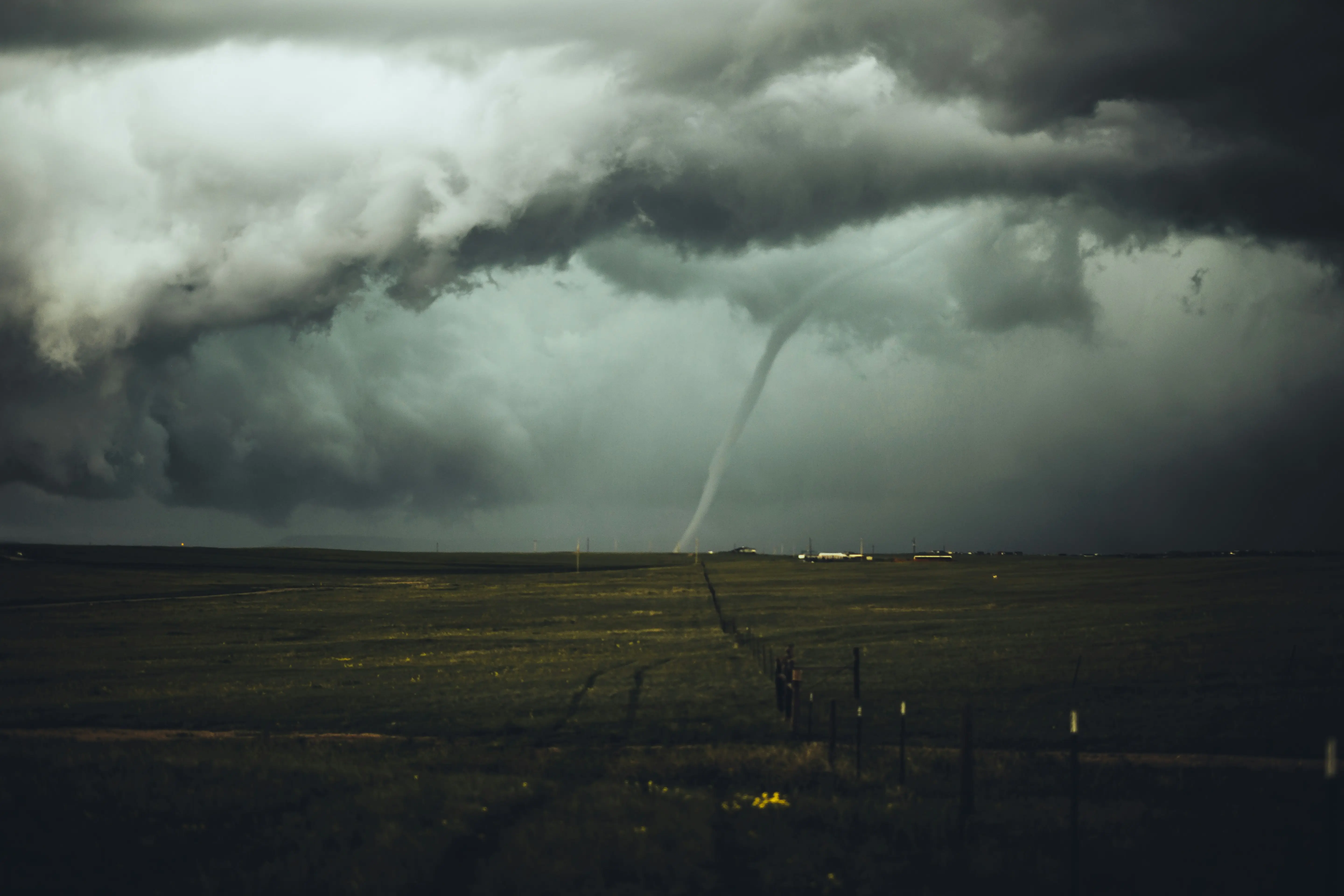
2. Kansas (87 Tornadoes/Year)
Located in the heart of Tornado Alley, Kansas experiences a high concentration of storms relative to its size. The state’s flat terrain offers no obstacles to the low-level jet stream, which brings moisture north. When this meets the brisk upper-level winds, it creates the vertical "wind shear" necessary to tilt a thunderstorm and start it rotating into a tornado.
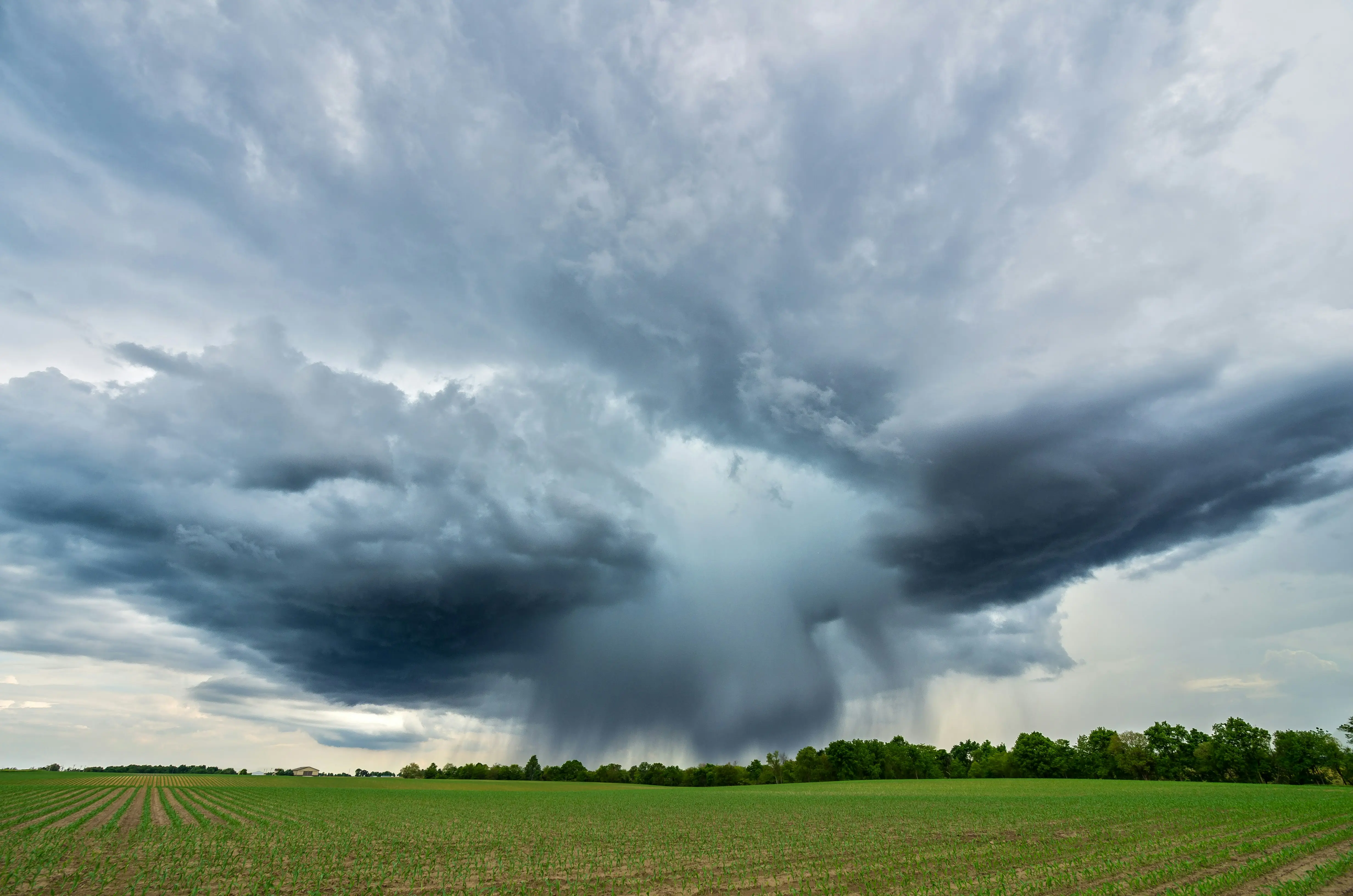
3. Oklahoma (66 Tornadoes/Year)
Oklahoma is synonymous with violent tornadoes, including record-breaking EF5 events. The state sits at a geographical crossroads where air masses from the north, south, and west collide. The presence of the National Severe Storms Laboratory (NSSL) here is no coincidence; the state’s atmosphere is frequently primed by high "CAPE" (convective available potential energy), leading to some of the most powerful vortices on Earth.
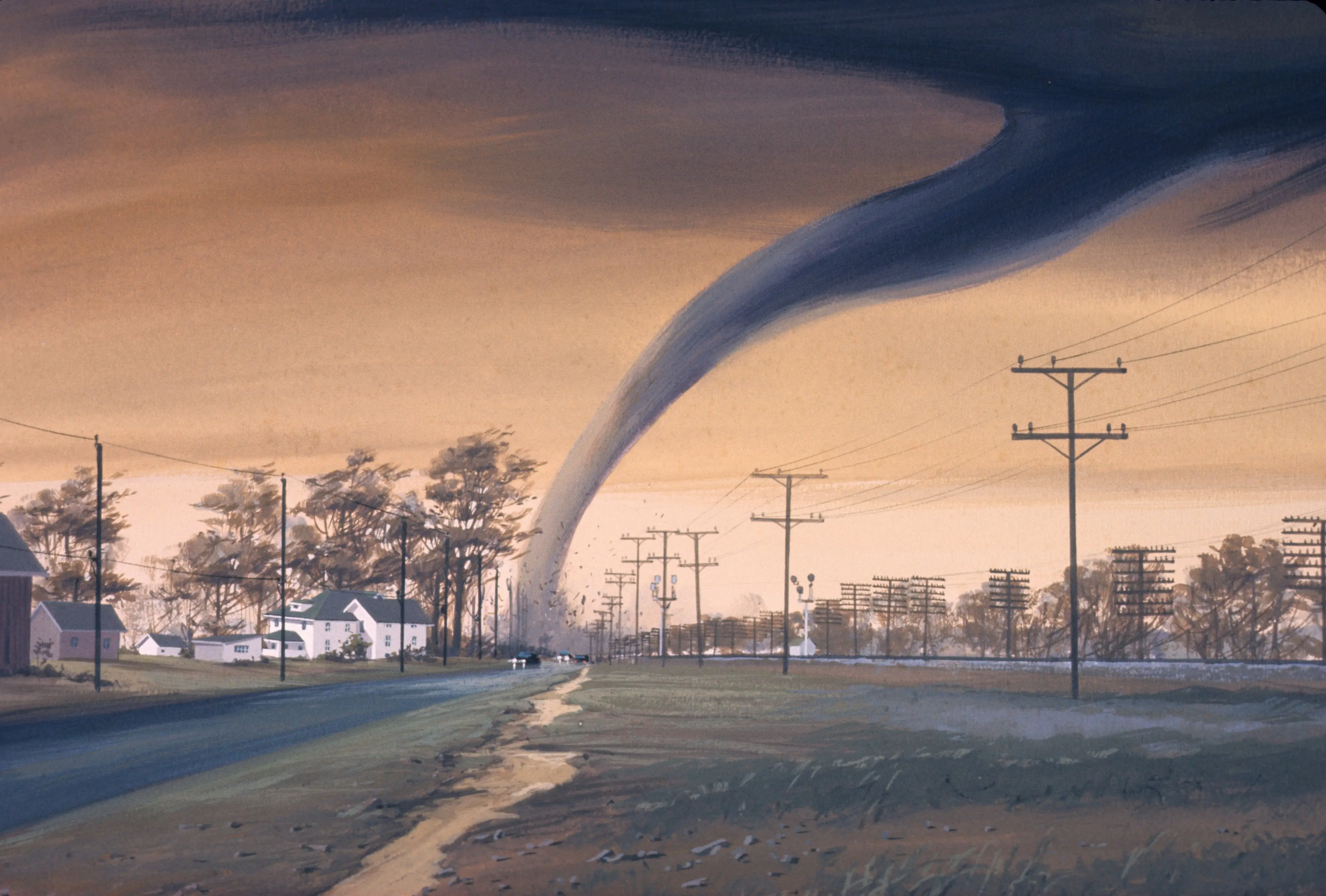
4. Mississippi (64 Tornadoes/Year)
Representing the core of "Dixie Alley," Mississippi faces unique dangers. Unlike the plains, tornadoes here often occur in high-precipitation environments (HP supercells), making them "rain-wrapped" and invisible. The state also sees a high frequency of nocturnal tornadoes. The moisture from the nearby Gulf acts as high-octane fuel, sustaining intense storms even during the late autumn and winter months.
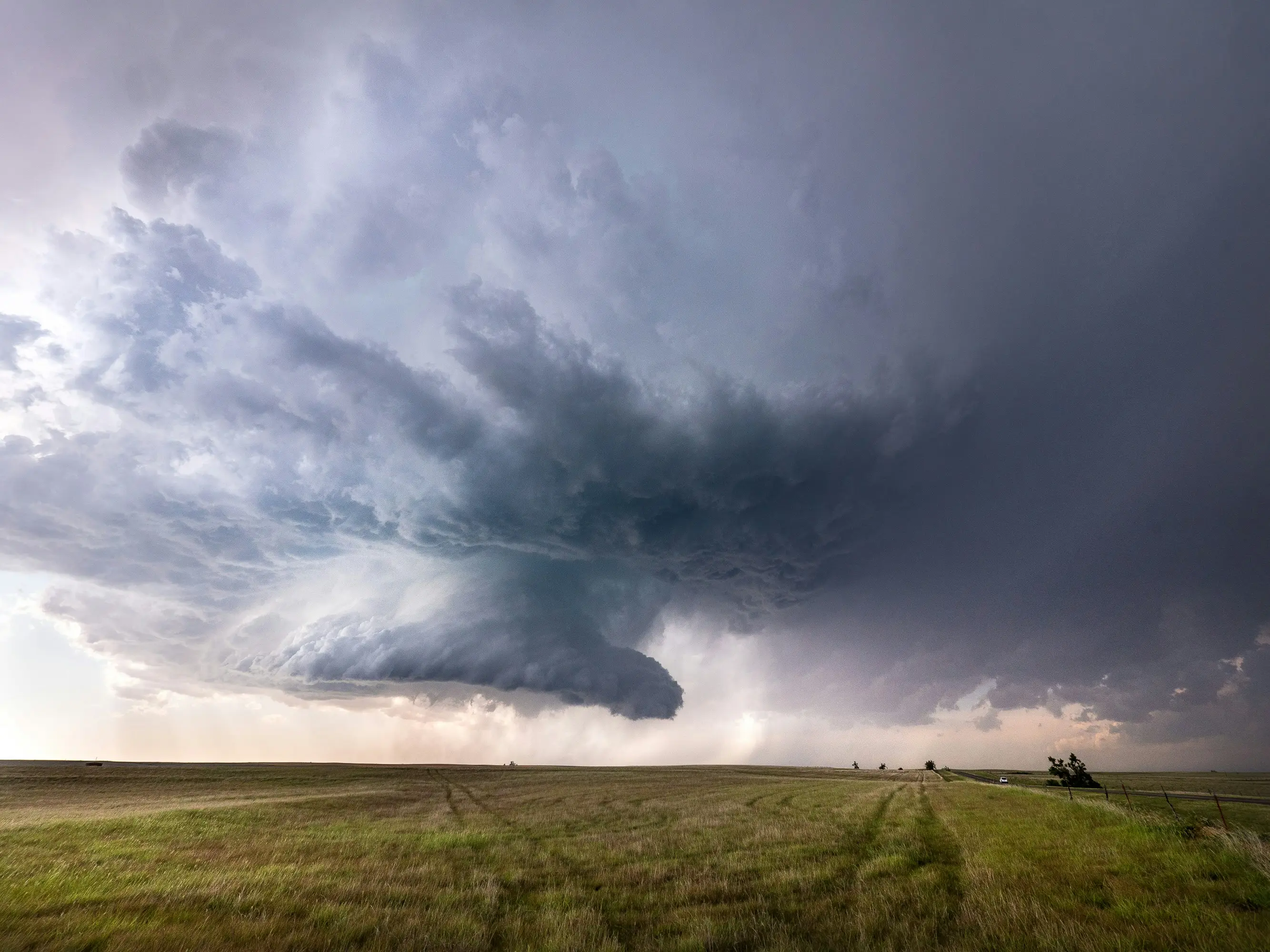
5. Alabama (63 Tornadoes/Year)
Alabama’s topography, a mix of rolling hills and dense forests, can obscure approaching funnels, increasing the risk to residents. The state is susceptible to both traditional spring outbreaks and landfalling tropical cyclones. Meteorologically, the region often experiences "high shear, low CAPE" environments, where strong winds can spin up dangerous tornadoes even without the massive heat typically associated with summer storms.
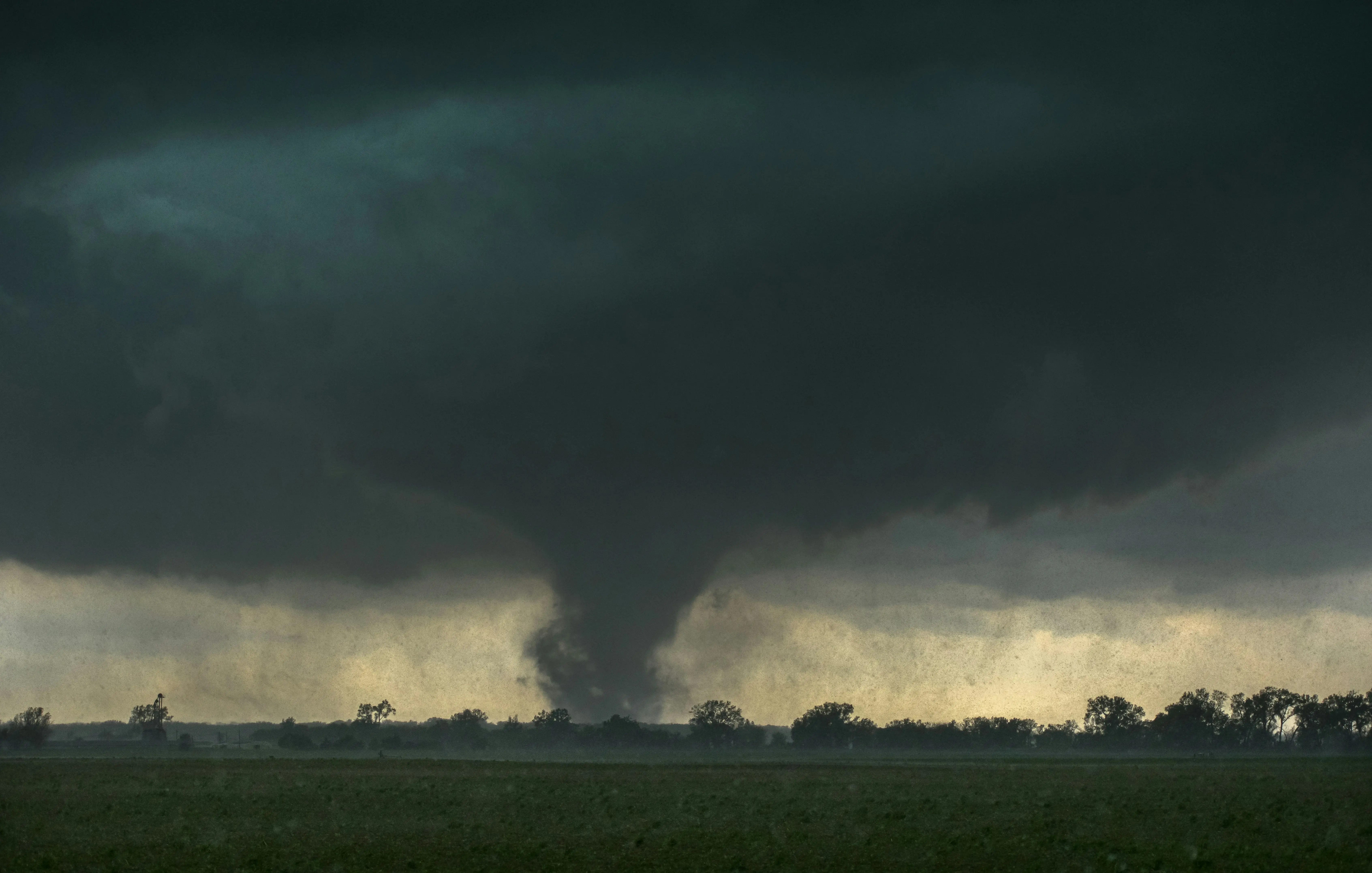
6. Illinois (57 Tornadoes/Year)
Illinois serves as a bridge between the Great Plains and the Ohio Valley. Most of its tornadoes occur in the central and southern flatlands. The state is particularly prone to "quasi-linear convective systems" (QLCS), long lines of fast-moving thunderstorms that can produce brief but destructive tornadoes. These often strike during the afternoon when surface heating is at its peak.
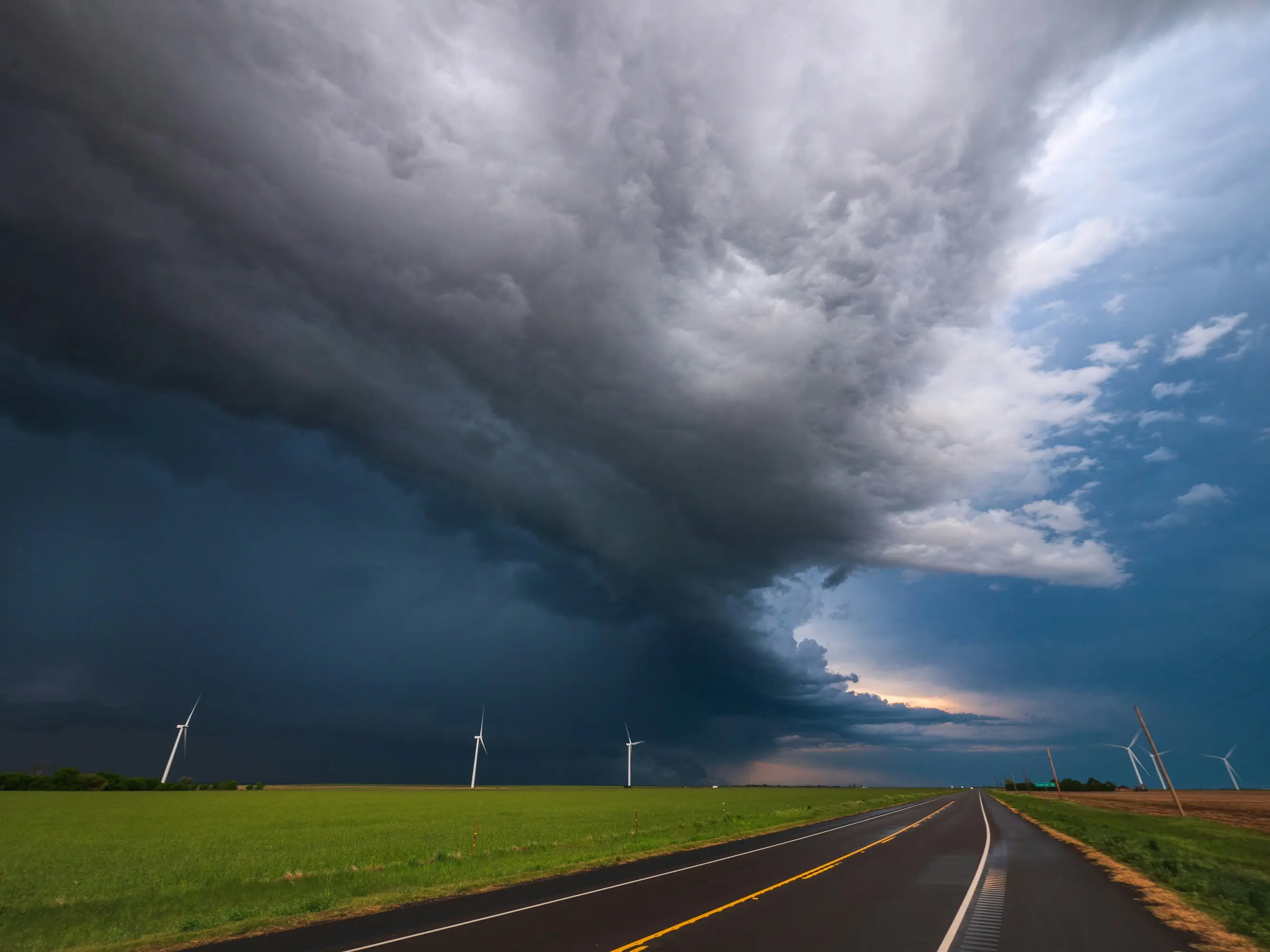
7. Missouri (53 Tornadoes/Year - Tie)
Missouri’s position in the mid-continent makes it a frequent target for cold fronts sweeping across the country. The Ozark Plateau can influence local wind patterns, sometimes enhancing the rotation within storms. Missouri has a history of devastating "long-track" tornadoes that stay on the ground for dozens of miles, fueled by the collision of diverse air masses over its varied landscape.
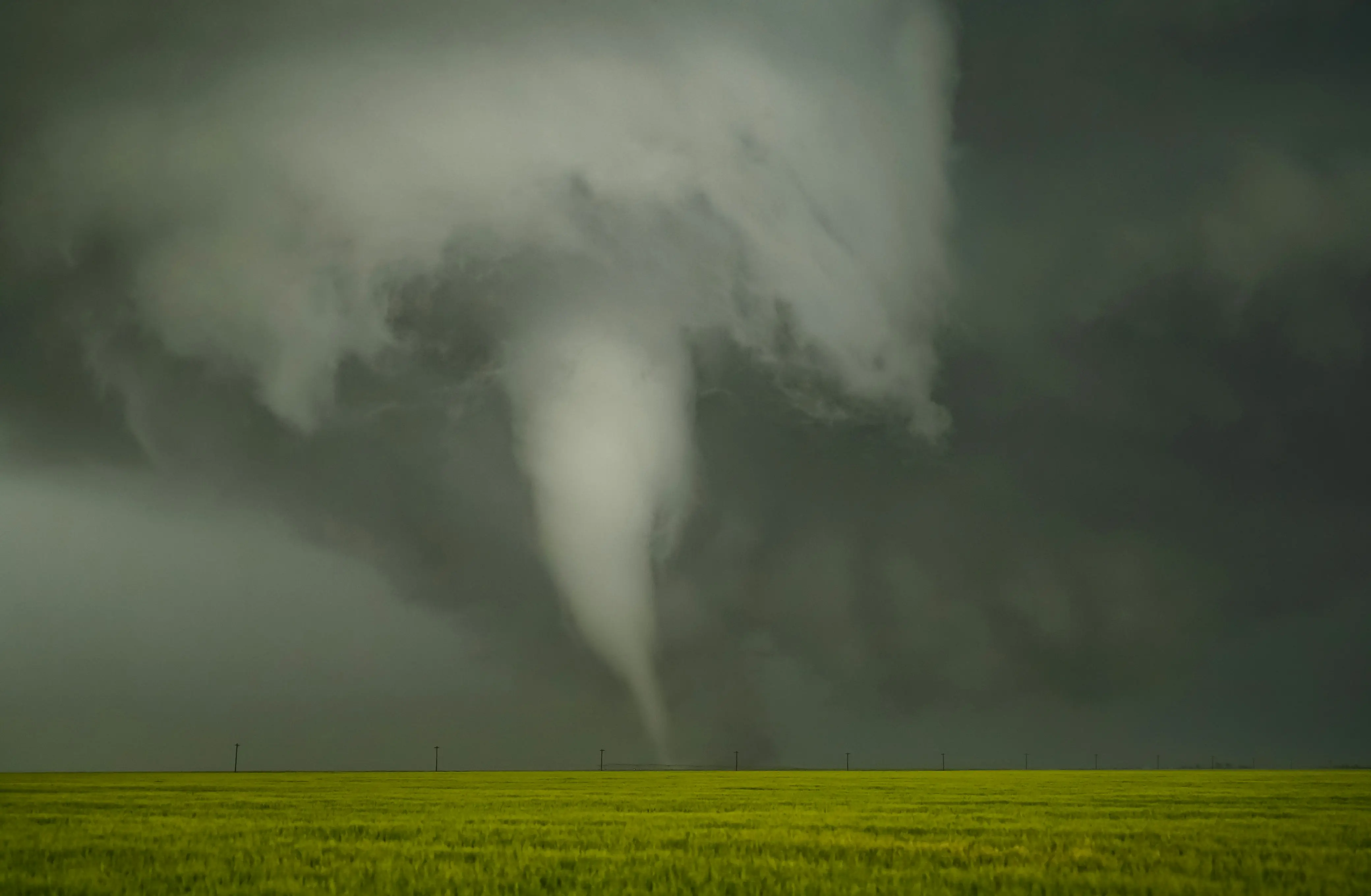
8. Iowa (53 Tornadoes/Year - Tie)
Iowa marks the northern boundary of the most active zone. Its peak season typically arrives later in the summer compared to Texas. The state’s intense summer heat and humidity from vast cornfields, a phenomenon known as “corn sweat”, can actually increase local moisture levels, providing the extra instability needed to turn a standard thunderstorm into a tornadic supercell.
)
)
)
)
)