Cyclone Fani and why it is so powerful

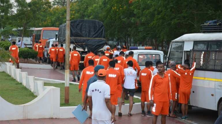
Largescale evacuations
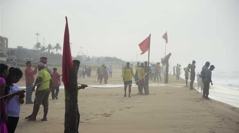
Severe cyclonic storm Fani (pronounced Foni) was lying in the Bay of Bengal about 420 km south-southwest of Puri in Odisha where special trains have been pressed into service to evacuate tourists and the beaches were empty.
In total, about 800,000 people are expected to be evacuated from low-lying areas of Odisha to cyclone shelters, schools and other buildings, authorities said.
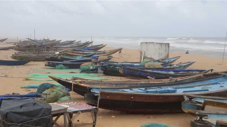
Where do tropical cyclones form?
Fani is a form of tropical cyclone which is formed over ocean basins in lower latitudes of all oceans except south Atlantic and southeast Pacific.The tropical cyclones develop over the warm waters of the Bay of Bengal and the Arabian Sea. Fani originated very close to the equator.
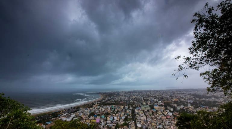
What is the structure of a tropical cyclone?
A fully developed tropical cyclone has a central cloud free region of calm winds, known as the "eye" of the cyclone with diametre varying from 10 to 50 km. Surrounding the eye is the "wall cloud region" characterised by very strong winds and torrential rains, which has the width of about 10 to 150 km. The winds over this region rotate around the centre and resemble the "coils of a snake".
Cyclone approaches Western Australia with heavy winds, risk of storm tide
Cyclone approaches Western Australia with heavy winds, risk of storm tide
The role of the ocean
Low-level convergence coupled with upper-level divergence gives rise to vertical motion taking moist air upwards. These moistures condense at higher levels and give out latent heat of condensation. Due to the release of the heat of condensation the area warms up resulting into further fall in pressure. This process continues and a low-pressure system gradually intensifies into a cyclonic storm.
Since Fani originated close to the equator and travelled great distance over the sea, it gained strength and intensity. It is generating maximum sustained winds of 170-180 km per hour.
)
)
)
)
)