Billions in space?: 10 most expensive satellites ever launched

NASA-ISRO NISAR and James Webb are among the costliest satellites ever built, used for Earth observation and deep space study. Their advanced technology marks huge steps in space exploration.
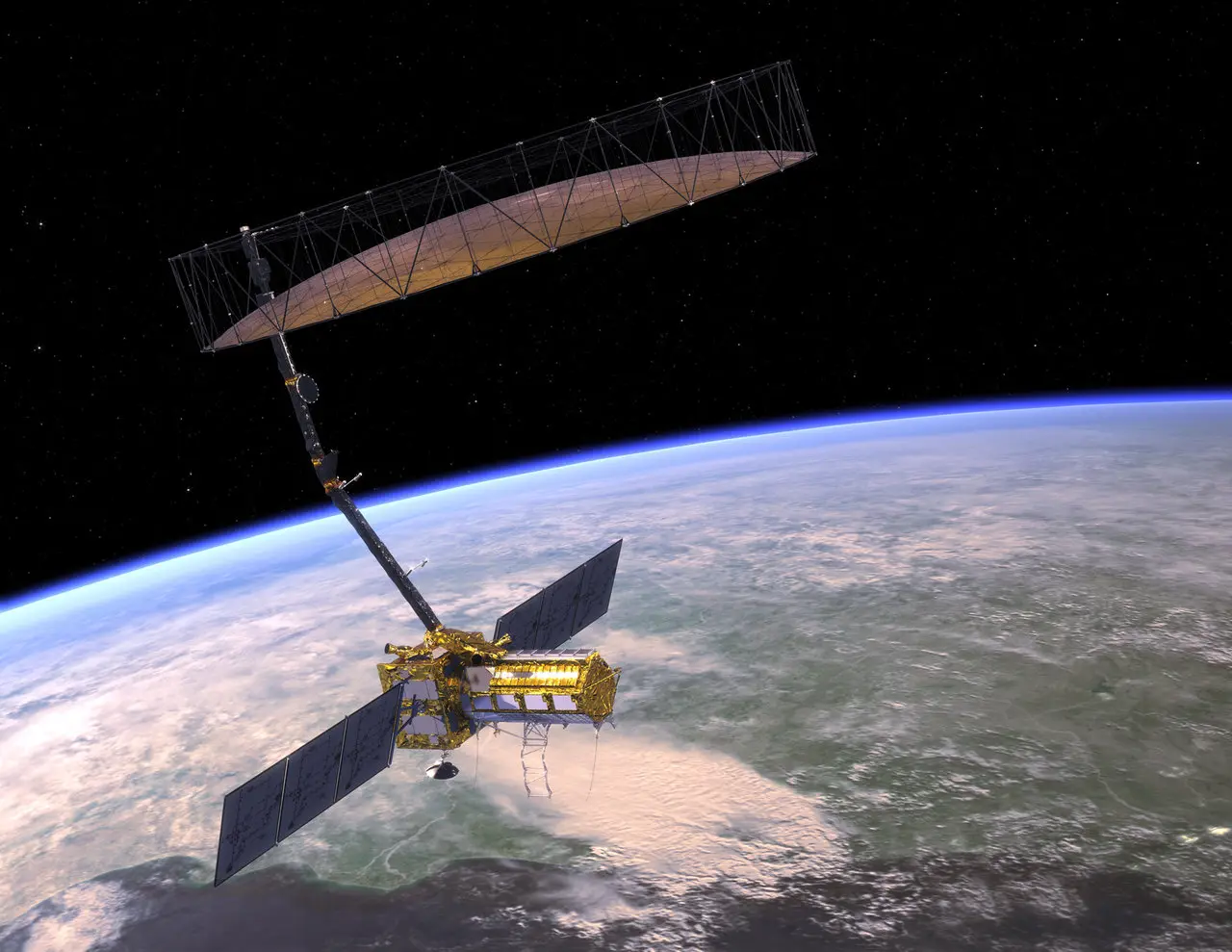
NASA-ISRO NISAR - $1.5 Billion
The NASA-ISRO Synthetic Aperture Radar (NISAR) satellite, launched in 2025, is the most expensive Earth-imaging civilian satellite. It cost $1.5 billion and uses cutting-edge radar technology to monitor Earth’s surface, aiding disaster management and climate studies.
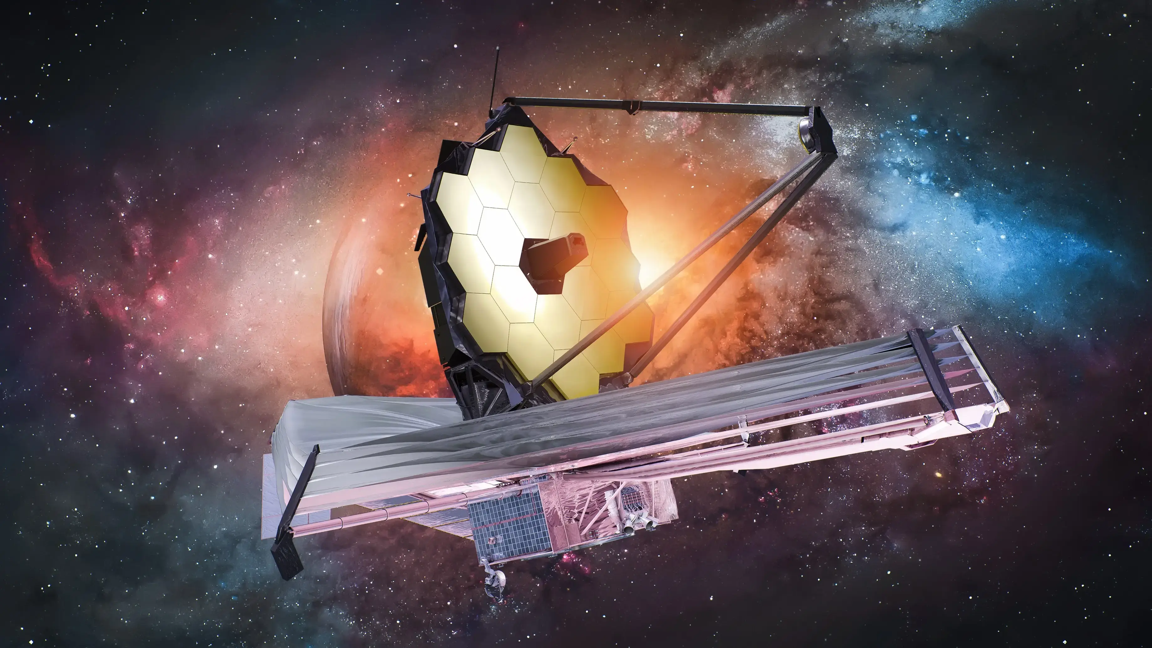
James Webb Space Telescope - Around $10 Billion
The James Webb Space Telescope, launched in 2021, is the most powerful space observatory. It cost around $10 billion and orbits the Sun 1.5 million km from Earth. It observes distant galaxies and exoplanets with infrared light, pushing the boundaries of our cosmic knowledge.
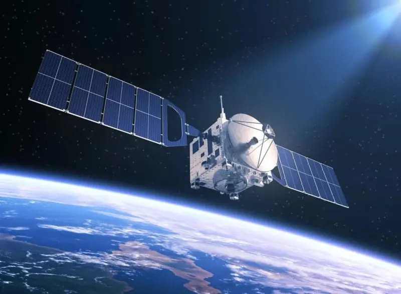
TerreStar-1 - $502 Million
This geostationary communications satellite launched in 2009 cost around $502 million. It had the largest S-band antenna at 18 metres, providing mobile voice and data services over North America.
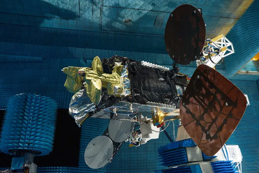
AMOS-6 - around $250 Million
AMOS-6 is a high-capacity communications satellite designed for the Middle East and Europe markets. It represents significant investment in satellite technology with multi-beam coverage and high-throughput capabilities.
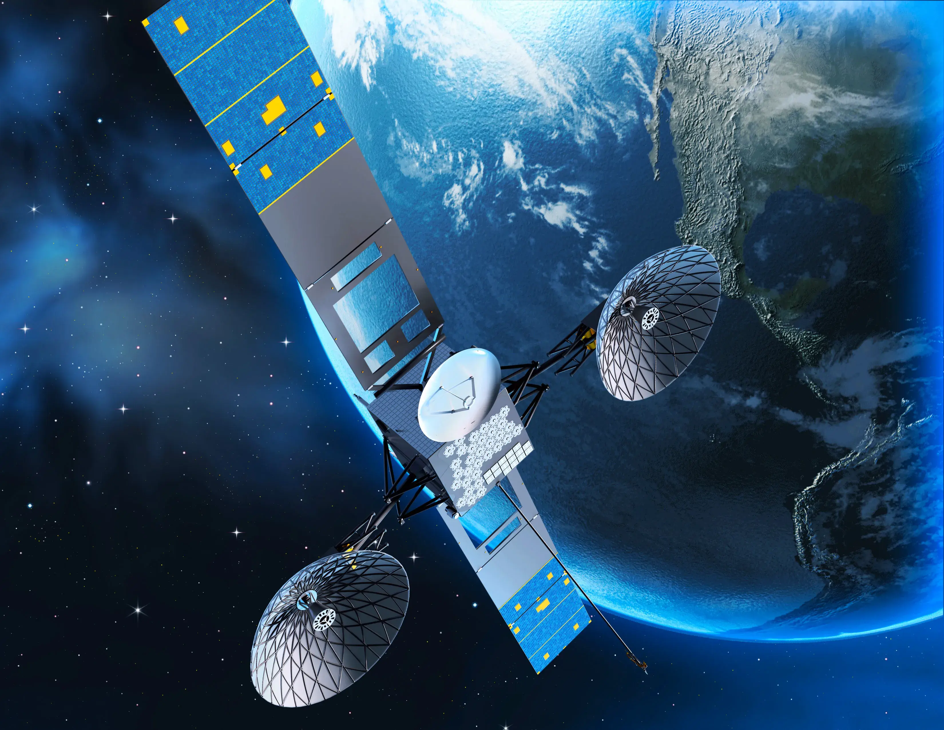
TDRS-M (Tracking and Data Relay Satellite) - $420 Million
TDRS-M is part of NASA’s vital satellite network that provides communication links for spacecraft in low Earth orbit, including the ISS and Hubble. Its launch cost and complex technology place it among expensively built satellites.
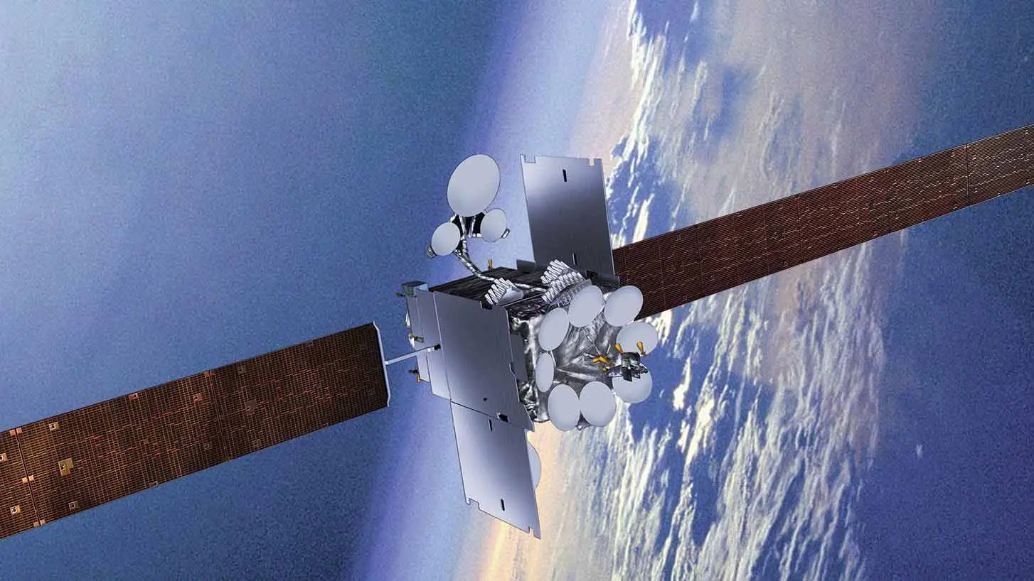
Inmarsat-5 F4 - $300 Million
Inmarsat-5 F4 is a communications satellite with high-capacity broadband, serving global maritime and aviation markets, reflecting substantial investment in satellite broadband technology.
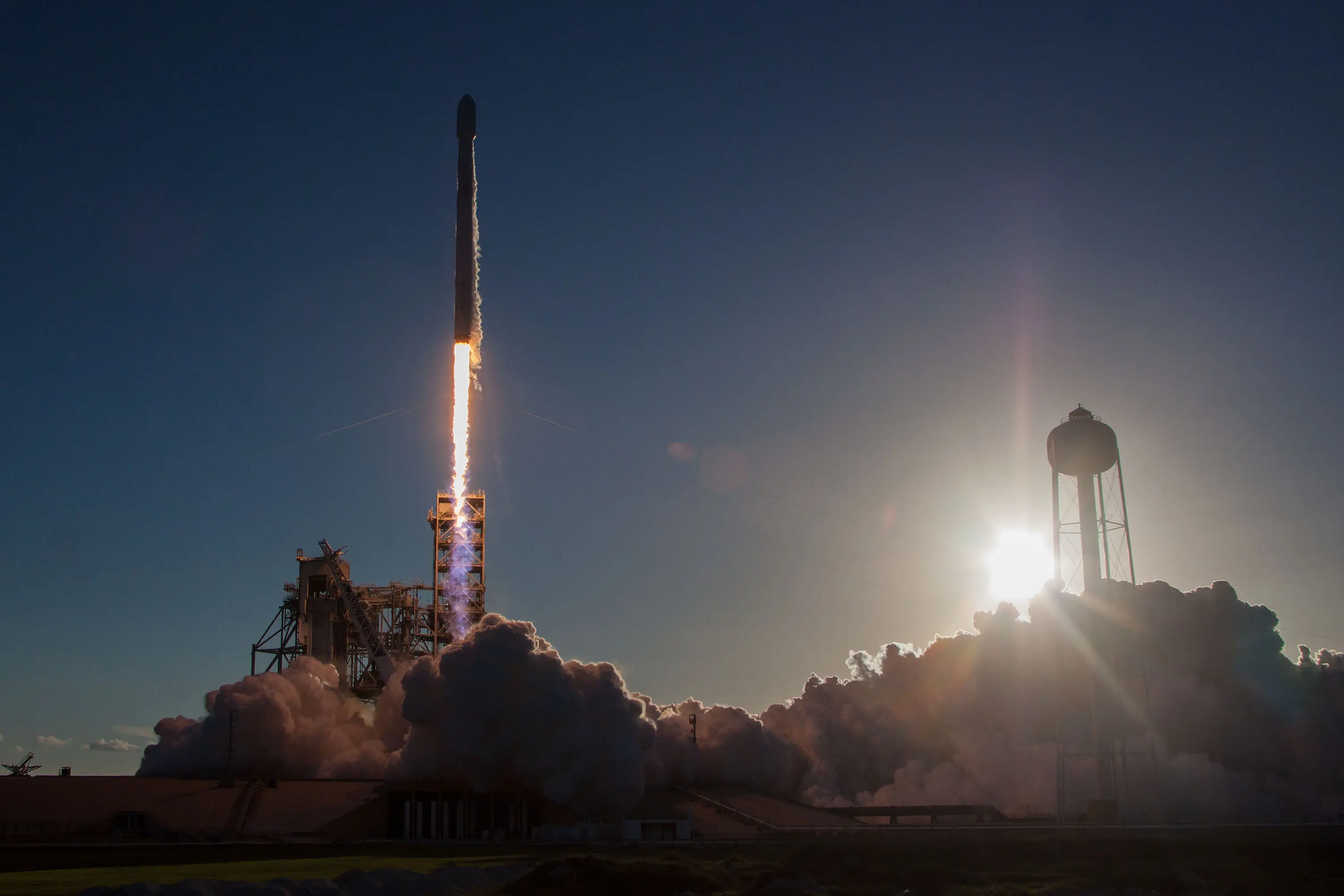
Intelsat 35e - $500 Million
Intelsat 35e, launched to serve Latin America, offers high-capacity broadband services. Costly both in manufacturing and launch, it is part of the latest generation of powerful communications satellites.
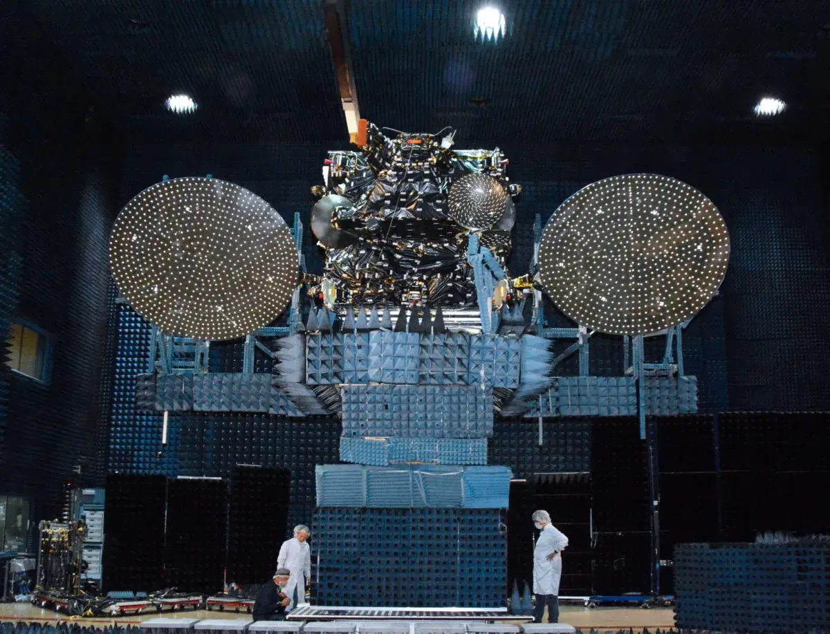
SKY Perfect JSAT’s Superbird-8 - Estimated $400 Million
This satellite provides high-definition TV broadcasting across Asia Pacific. It's built with advanced payloads to deliver extensive coverage and supports Japan’s telecommunications infrastructure.
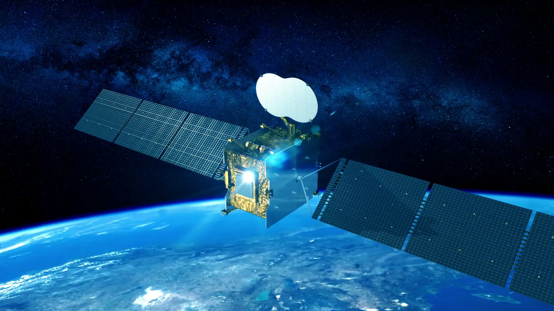
Eutelsat Quantum - $400 Million (Approximate)
Eutelsat Quantum is an innovative satellite allowing on-orbit reconfiguration of beams and coverage to meet changing customer needs, reflecting high development cost in cutting-edge satellite technology.
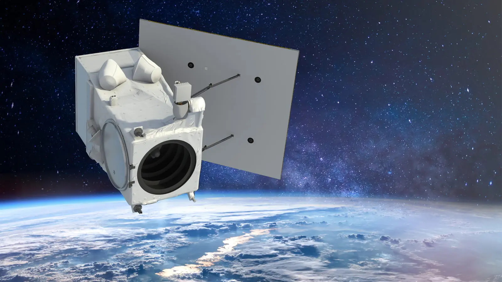
WorldView Legion - $450 Million
WorldView Legion comprises a constellation of imaging satellites for commercial high-resolution Earth observation, used in mapping, agriculture, disaster response, and more, representing a large investment in geospatial technology.
)
)
)
)
)