'The TACAN': How lost fighter jets find the USS Abraham Lincoln in a storm

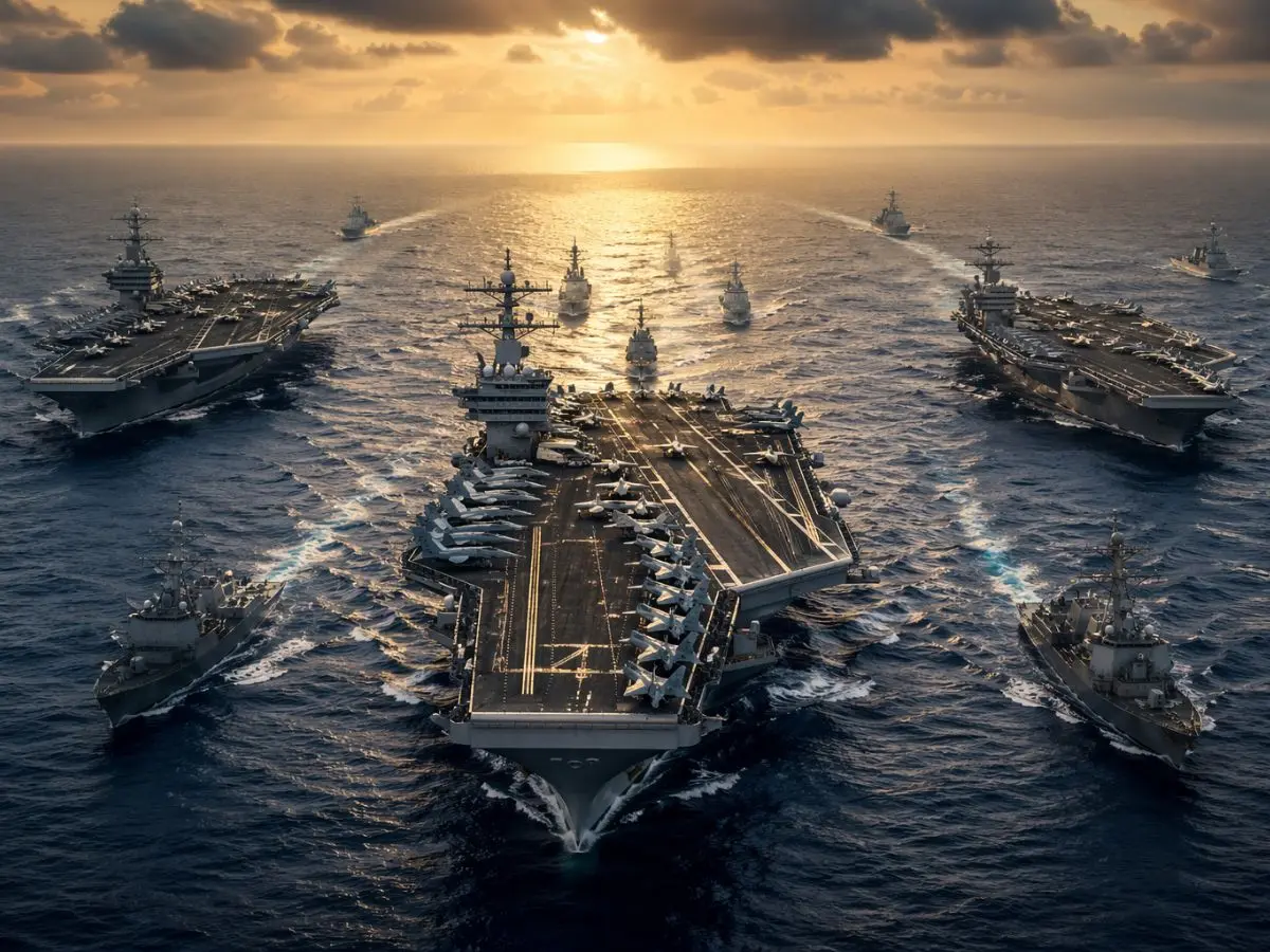
When severe storms blind Navy pilots, the TACAN system provides vital range and bearing data up to 200 miles away, safely guiding fighter jets back to the USS Abraham Lincoln for recovery.
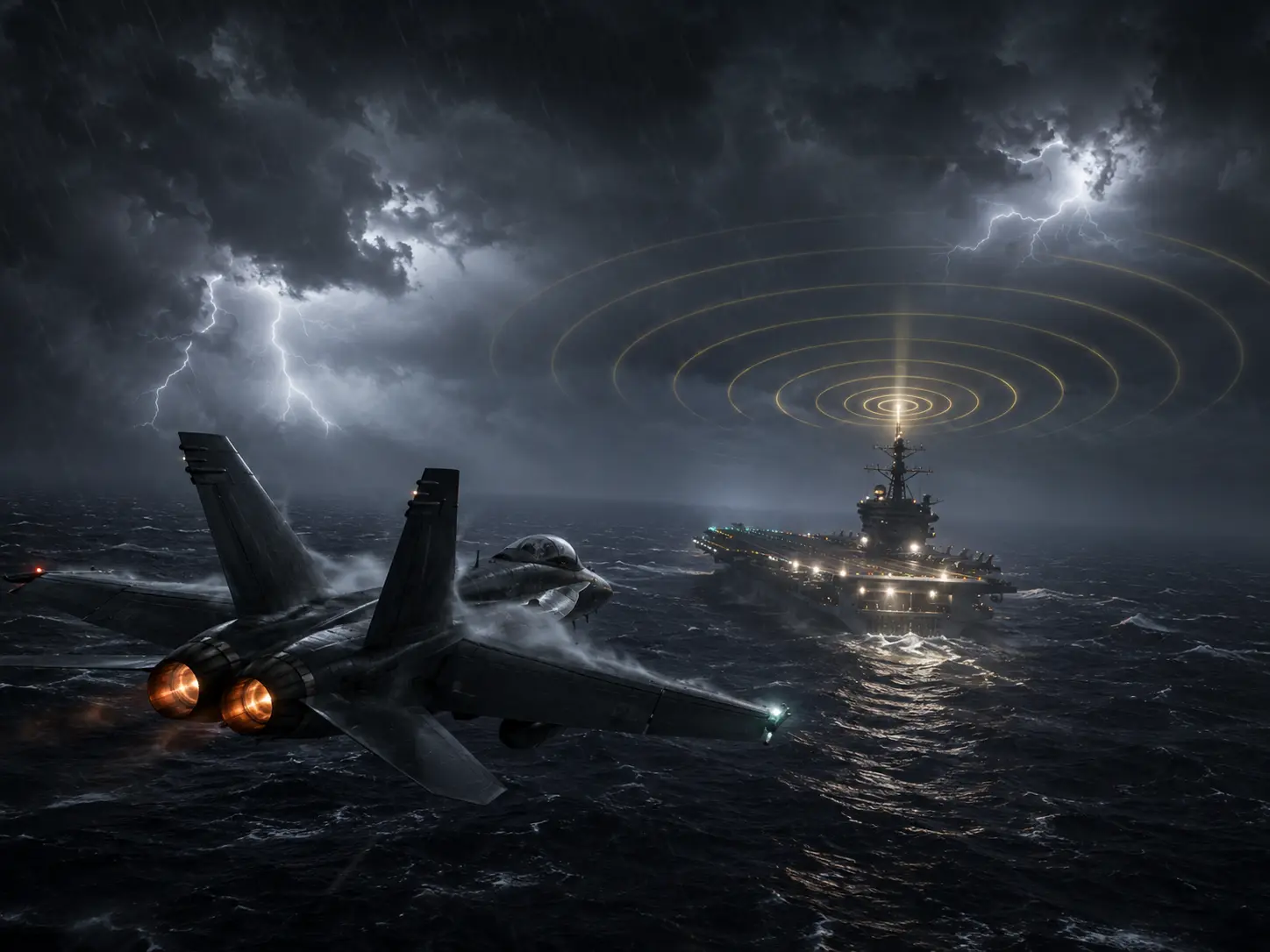
Visibility under 1000 feet
When storms push cloud ceilings below 1,000 feet or visibility drops under five miles, the US Navy initiates 'Case III' recovery operations. Pilots can no longer rely on visual cues to locate the USS Abraham Lincoln and must fly using instruments.
Reaches 200 nautical miles
The Tactical Air Navigation (TACAN) system serves as the primary locator for these lost jets. It operates on ultra-high frequencies, broadcasting a secure signal that reaches aircraft up to 200 nautical miles away.

Exact distance and bearing
Jets tune into the carrier's specific TACAN frequency to receive continuous navigational updates. The radio system provides pilots with their exact bearing and distance from the flight deck, regardless of the heavy rain or thick fog.
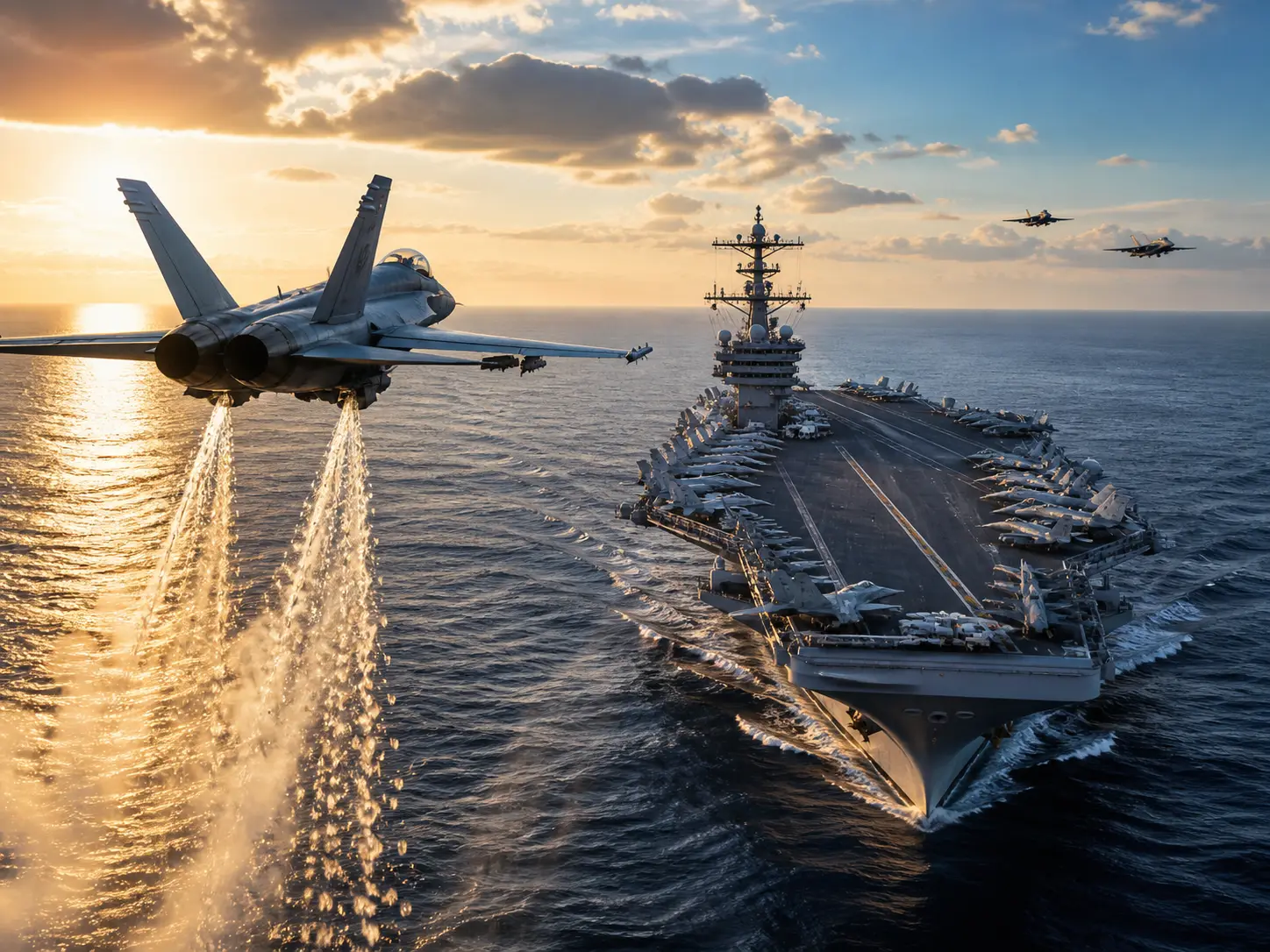
Reaching 21-mile Marshal stack
Guided by TACAN, aircraft fly to a designated holding area in the sky known as the Marshal stack. They safely circle at their assigned altitudes, typically starting around 21 nautical miles away, waiting for their turn to land.
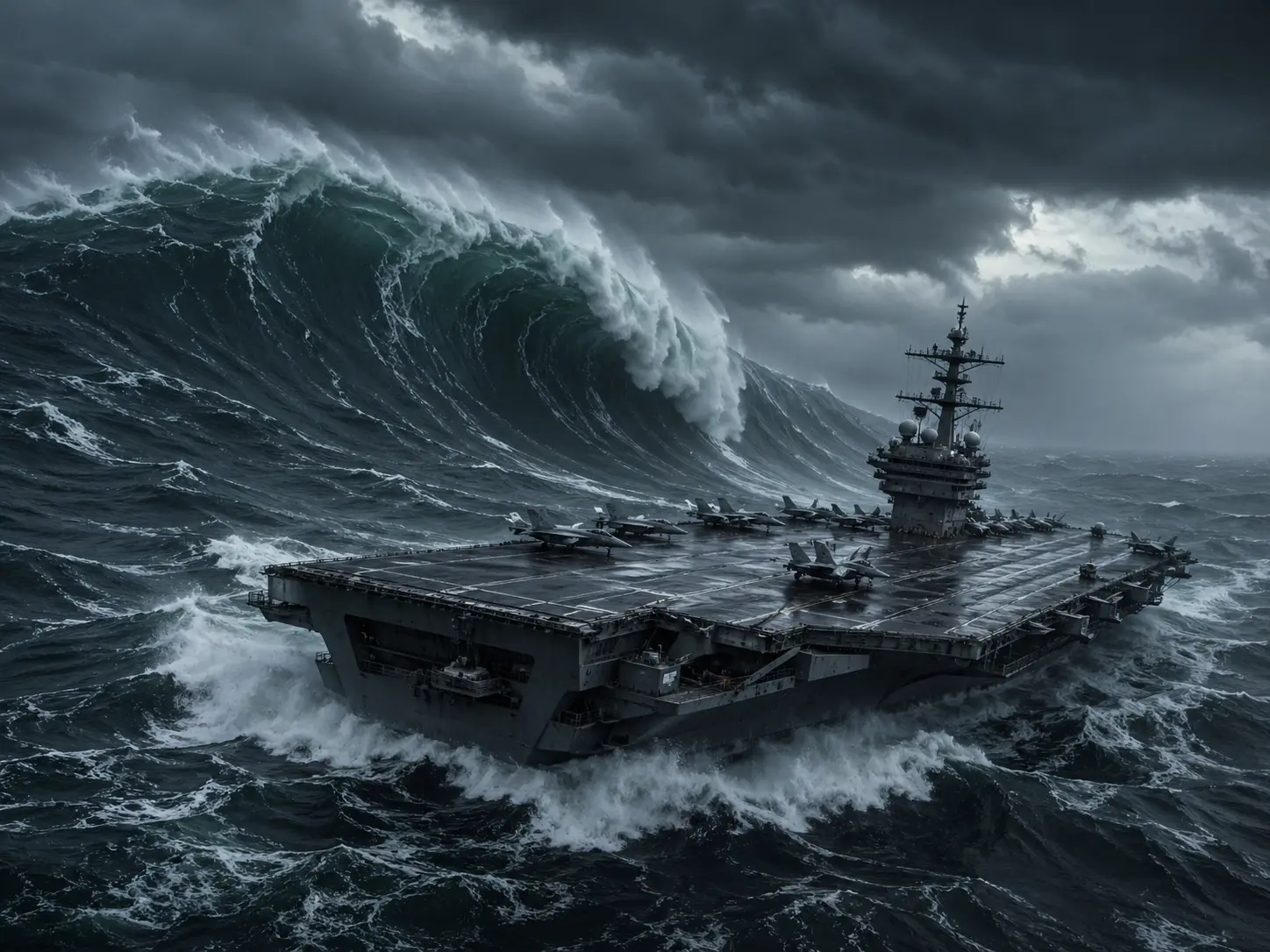
Moving at 30 knots
Unlike civilian airport beacons that remain stationary on the ground, the shipboard TACAN must remain completely accurate on a moving target. The USS Abraham Lincoln can push through heavy seas at sustained speeds of 30 knots while guiding the jets.
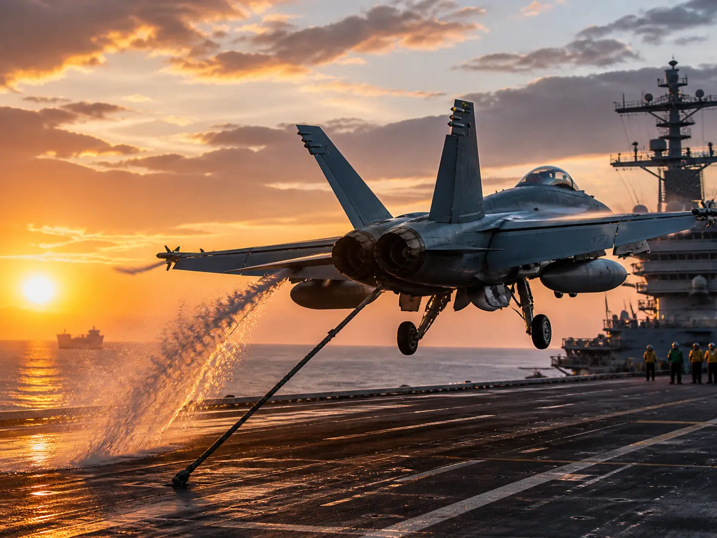
Final 10-mile precision
TACAN brings the jets to the correct approach vector, but the final descent requires extreme accuracy. At roughly 10 nautical miles out, modern fighters switch to the Instrument Carrier Landing System (ICLS) or automated software for the final touchdown.

F-35C uses JPALS tech
Advanced jets like the F-35C use the Joint Precision Approach and Landing System (JPALS) alongside TACAN. This encrypted GPS data link guides the stealth fighters perfectly onto the carrier's arresting wires in zero visibility conditions.
)
)
)
)
)