'Naval puzzle': Why Iran struggles to track the movements of the USS Abraham Lincoln

The USS Abraham Lincoln remains a ghost in the Arabian Sea as Tehran struggles with a tactical naval puzzle. Advanced electronic warfare and high-speed mobility allow the nuclear-powered carrier to evade Iranian surveillance and tracking.
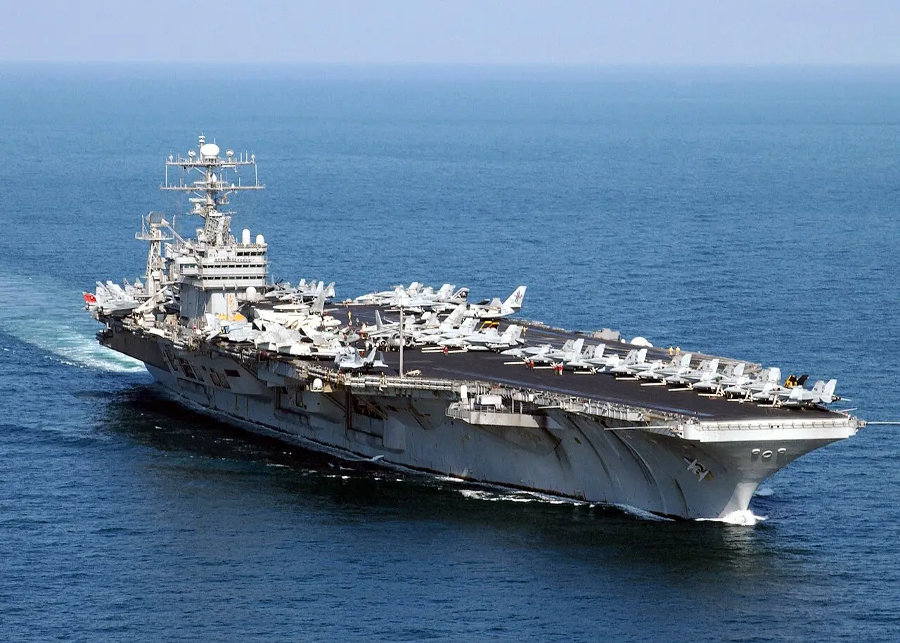
Arrival in Middle East
The USS Abraham Lincoln entered the Central Command area of responsibility to bolster regional security. This nuclear-powered behemoth serves as a mobile airbase that can launch strikes without relying on land-based facilities. Its presence alone acts as a powerful deterrent against regional escalation.
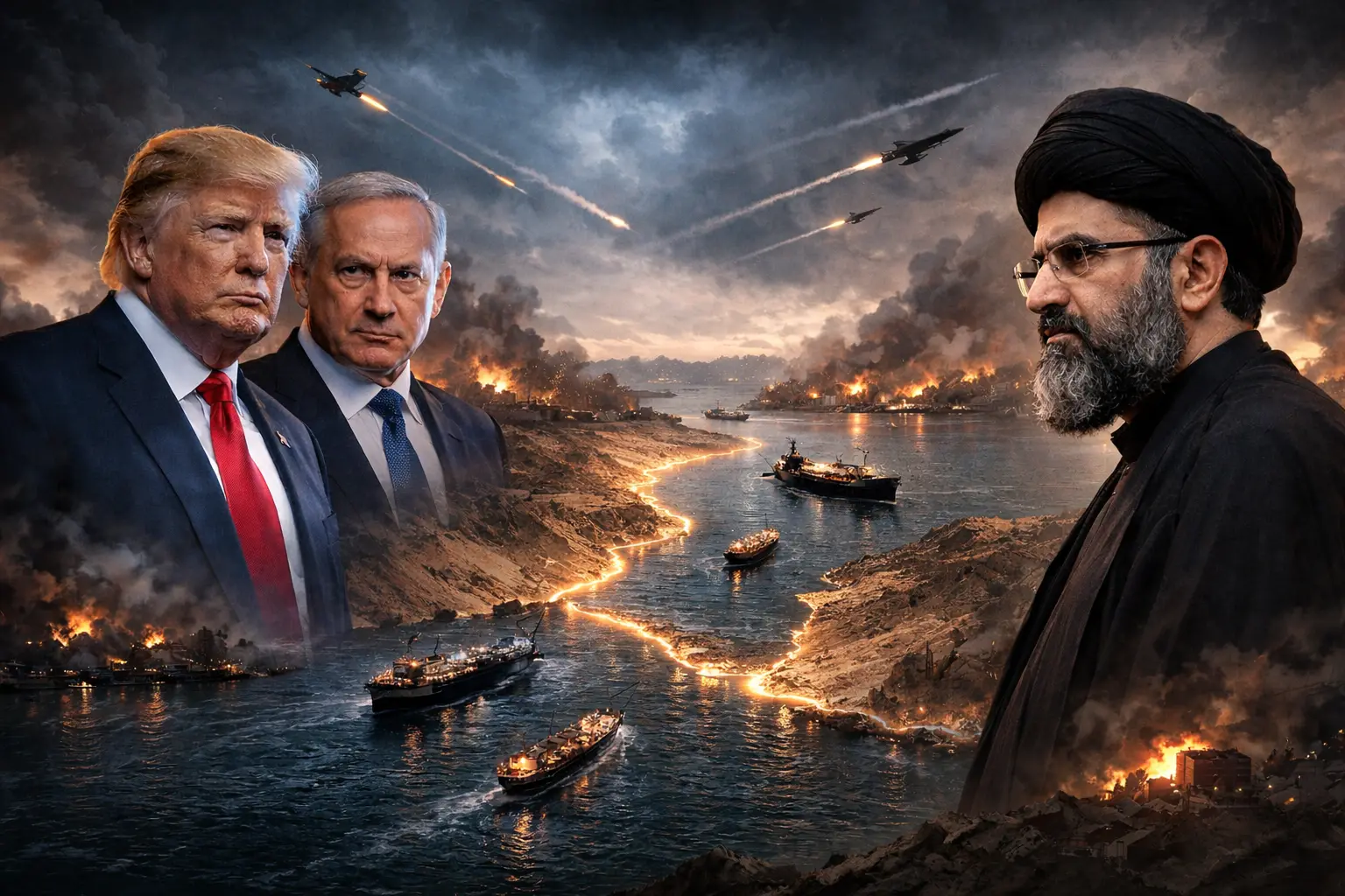
Silent mode operation
The carrier strike group often operates under strict Emission Control or EMCON to hide its electronic signature. By switching off its Automatic Identification System (AIS), the warship becomes invisible to standard maritime tracking. This tactical silence forces Tehran to rely on visual or radar-based searches.
High speed mobility
Operating at speeds exceeding 30 knots, the USS Abraham Lincoln is constantly on the move. Because the ship can cover over 50 kilometres in a single hour, any tracking data quickly becomes obsolete. This rapid movement makes it nearly impossible for adversaries to maintain a lock.

Electronic warfare shield
Advanced EA-18G Growler aircraft on the carrier provide a sophisticated electronic shield for the fleet. These assets can jam enemy radars and sever command-and-control links before a threat even gets close. This technology effectively blinds Iranian sensors attempting to pinpoint the carrier's exact coordinates.
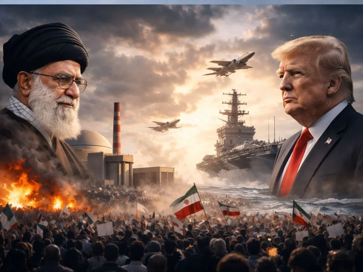
Surveillance gaps challenge
Iran relies heavily on its domestic Noor satellites and drones for maritime surveillance. However, these assets often lack the resolution and coverage area of advanced Western systems. The US Navy exploits these blind spots to move the strike group through "empty" ocean zones.
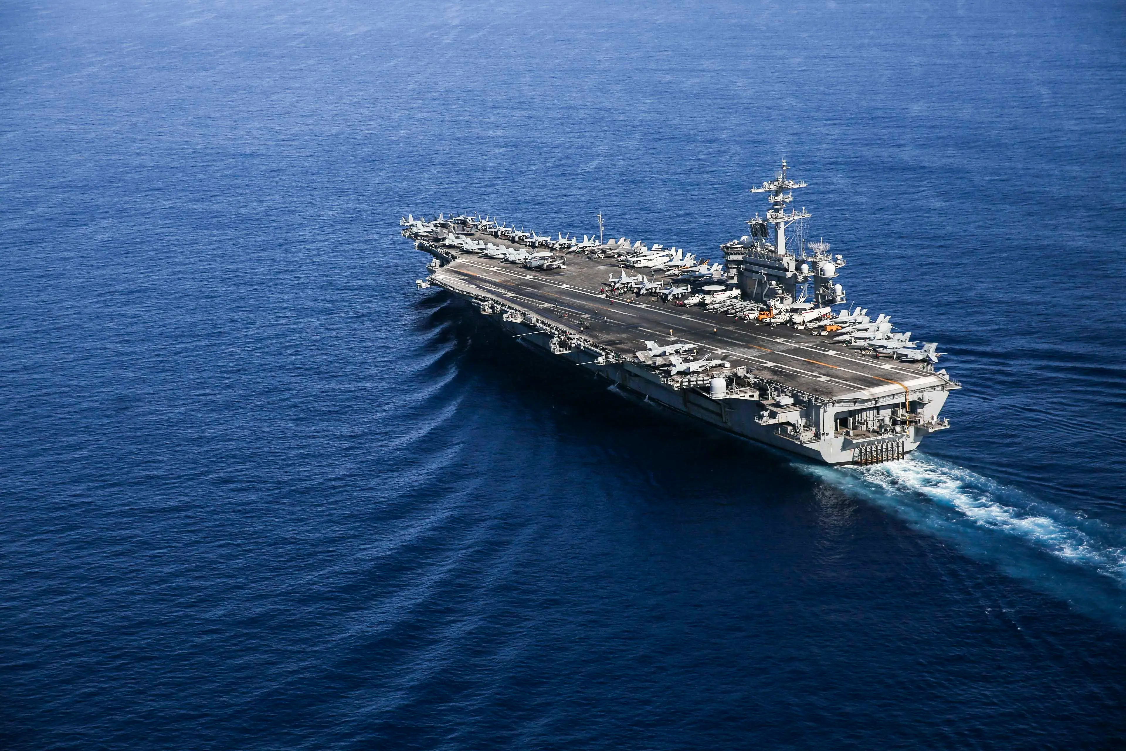
Vast ocean reach
The Arabian Sea covers millions of square kilometres, providing ample space to hide. Finding a single carrier strike group in such a massive area is like searching for a needle in a haystack. This geographical advantage keeps the ship well outside the range of coastal batteries.
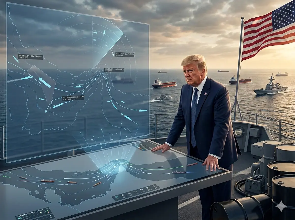
Strategic deterrence factor
The inability to track the carrier prevents the Islamic Revolutionary Guard Corps from planning precision strikes. This lack of visibility creates psychological pressure on Tehran, as they cannot predict the direction of a potential attack. The "naval puzzle" ensures the US maintains tactical surprise in the region.
)
)
)
)
)