'Dubai, Tel Aviv all closed': Apocalyptic flight radar shows 10 countries bracing for armageddon after assassination of Ali Khamenei

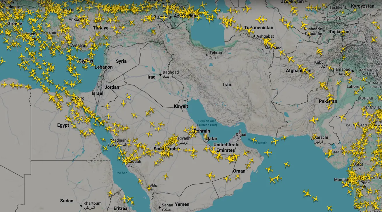
A single glance at the latest live FlightRadar tracking data reveals a chilling picture: a massive, contiguous "black hole" stretching from the Mediterranean Sea to the Gulf of Oman, where commercial aviation has simply ceased to exist.
1. The 10-Nation 'Dead Zone'
The flight tracking map shows an absolute, terrifying void. Currently, not a single commercial aircraft is flying over the airspace of ten sovereign nations: the United Arab Emirates, Qatar, Bahrain, Iran, Iraq, Syria, Israel, Jordan, Kuwait and Lebanon. These countries, representing millions of square miles of critical airspace, have been entirely cordoned off as active warzones.
2. The Fall of the Mega-Hubs
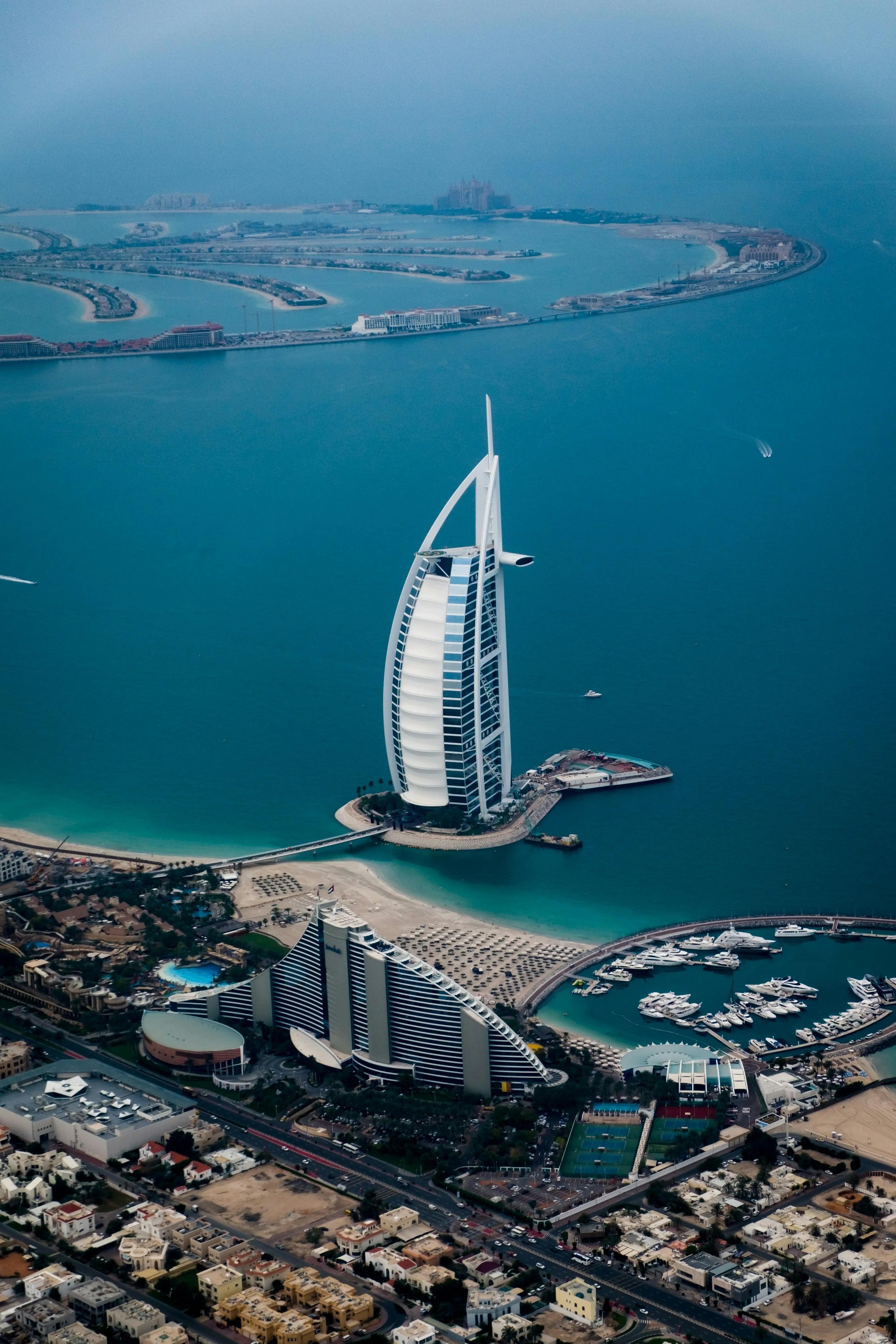
The most shocking aspect of this map is the complete paralysis of the Arabian Peninsula's eastern coast. The UAE and Qatar are home to Dubai International (DXB) and Hamad International (DOH), routinely ranked among the busiest transit hubs on the planet. The absolute absence of planes over the UAE and Qatar confirms that these global economic lifelines have been severed by the threat of Iranian ballistic missiles and drone swarms.
3. The Persian Gulf is a No-Go Zone
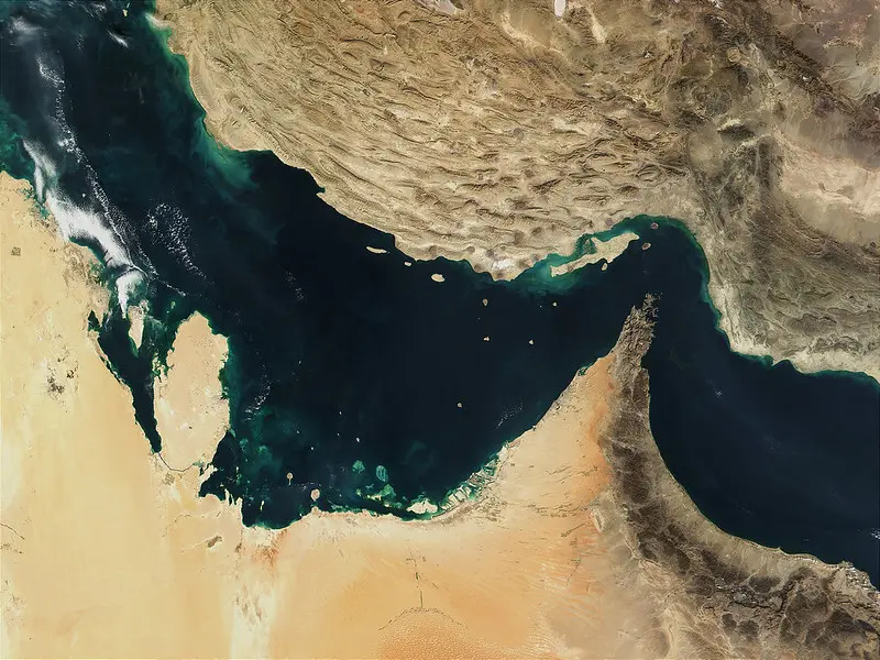
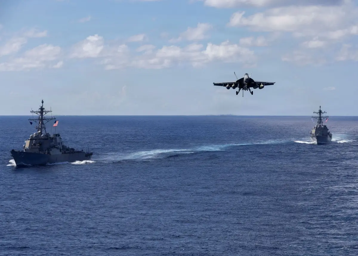
It is not just the landmasses; the waters are totally empty. The airspace directly over the Persian Gulf, normally jammed with cargo flights and regional hoppers, is completely devoid of traffic. With US naval destroyers and Iranian fast-attack boats actively engaging in the waters below, airlines have determined that the risk of a commercial airliner being shot down by a stray surface-to-air missile is simply too high.

4. The Alert
This visual data directly confirms the chaotic news wire alerts breaking across the globe. As per recent AFP reports stating "Airspace closed, flights cancelled as US-Iran conflict flares," global carriers like Air France and Emirates had no choice but to initiate emergency groundings. The map proves this wasn't just a temporary delay; it is a total, systemic shutdown of regional aviation.
5. The Desperate Squeeze Over Egypt and Turkey
Since the traditional "Silk Road" of the sky is closed, the map reveals a massive bottleneck. You can see dense, solid lines of yellow planes desperately hugging the borders of the conflict zone. Flights traveling between Europe and Asia are being forced into narrow, highly congested corridors over central Turkey, Egypt, and the western edge of Saudi Arabia along the Red Sea, adding hours of flight time.
6. A Multi-Billion Dollar Hemorrhage
This map represents an economic catastrophe for the global airline industry. Rerouting thousands of wide-body jets adds massive fuel costs, requires new crew rotations, and completely destroys connecting flight schedules. For state-owned airlines like Emirates, Etihad, and Qatar Airways, having their home airspace designated as a no-fly zone is costing them hundreds of millions of dollars by the hour.

7. A New War
More than just an aviation logistical nightmare, this FlightRadar screenshot is the ultimate visual representation of a region tipping into total war. Airlines do not abandon the airspace of nine separate nations unless the threat of catastrophic, unconfined cross-border violence is absolute. The world is physically detouring around the Middle East.
)
)
)
)
)