NASA-ISRO NISAR mission: 5 ways how this satellite will help scientists and save lives

The ISRO-NASA NISAR satellite launched successfully on 30 July and will map Earth’s land and ice in record detail. It will help forecast disasters and collect vast radar data. A landmark US-India collaboration. Science operations begin soon. Know more below.
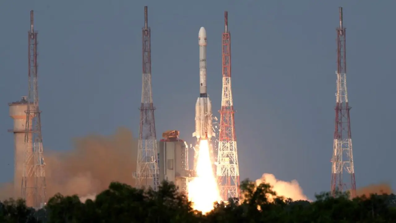
NISAR launched successfully and why does it matter?
NISAR launched successfully and why does it matter?
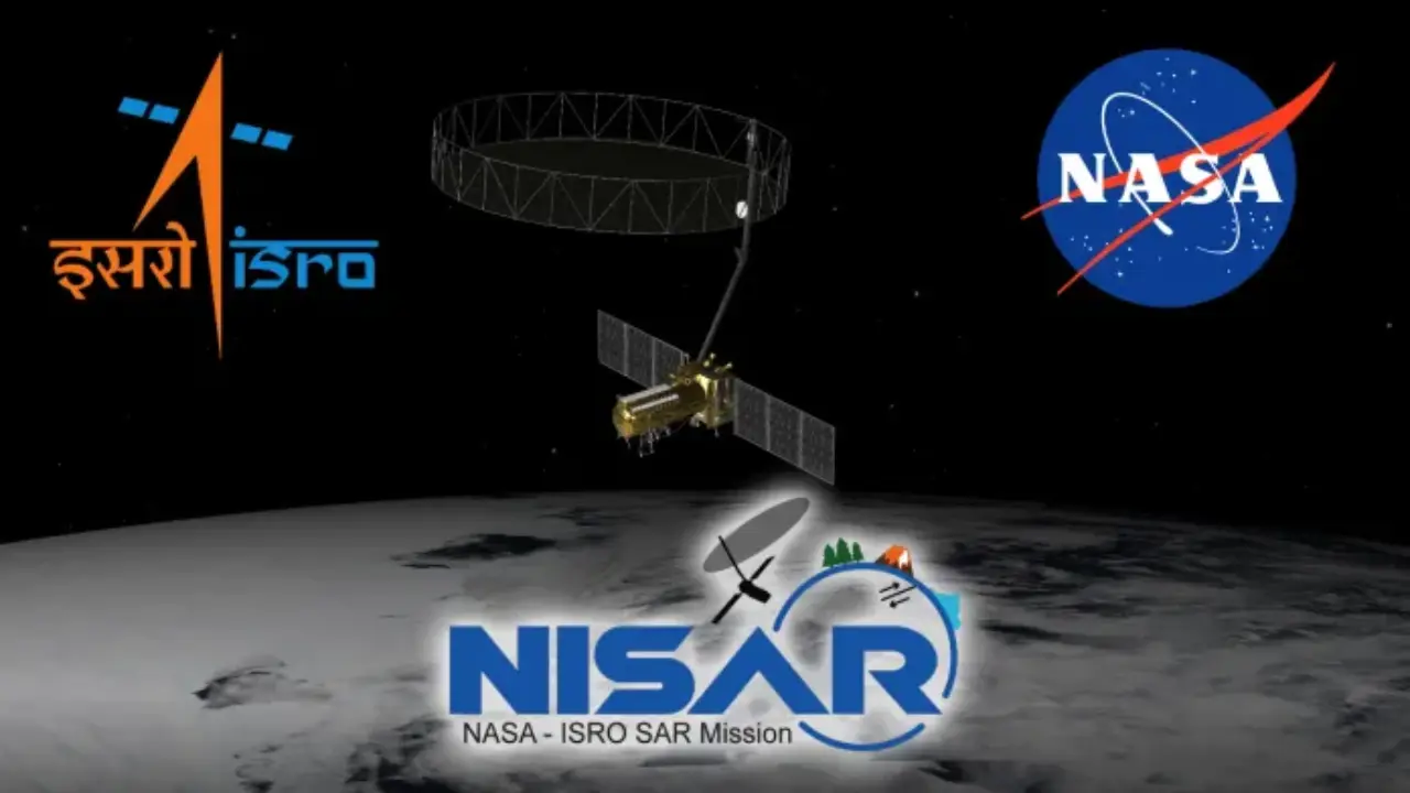
High-resolution, 3D views day and night
Using dual synthetic aperture radars, an L-band from NASA and an S-band from ISRO-NISAR will track changes in earth’s surface with sub-centimetre accuracy. Its 12-metre dish can “see” even through clouds, providing constant and updates on everything from earthquake risks to glacier movement.

Key for disaster and hazard planning
NISAR data will help scientists and authorities spot warning signs before earthquakes, landslides, or volcanic eruptions occur. It can follow fault slips, land lifts, and even subtle changes near big dams, helping teams plan and act ahead of disasters a big step for global disaster response.
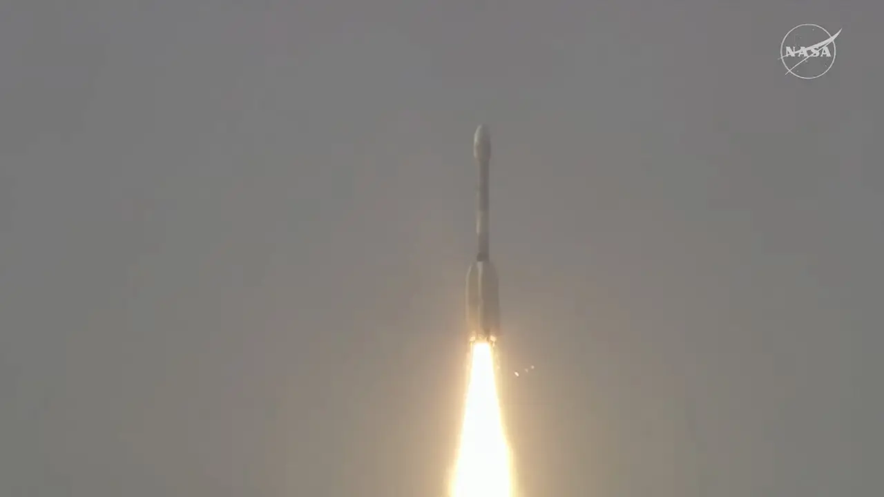
Most advanced radar ever sent
NISAR hosts the most advanced earth-imaging radar used by NASA and ISRO. Its dual-frequency system can monitor both large and small features such as permafrost or water in crops.
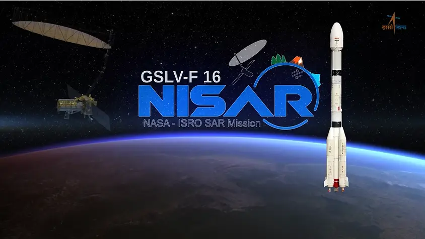
US-India space partnership
NISAR marks the first time ISRO - NASA have built a satellite together at this scale together. Both sides contributed radars and components.
)
)
)
)
)