How satellites help Indian farmers predict crop failures

ISRO satellites monitor Indian farms daily through colour-pattern imaging. Mobile apps deliver space-based farming advice to smallholders. Early warning systems prevent crop losses. Insurance companies use satellite data for damage assessment.
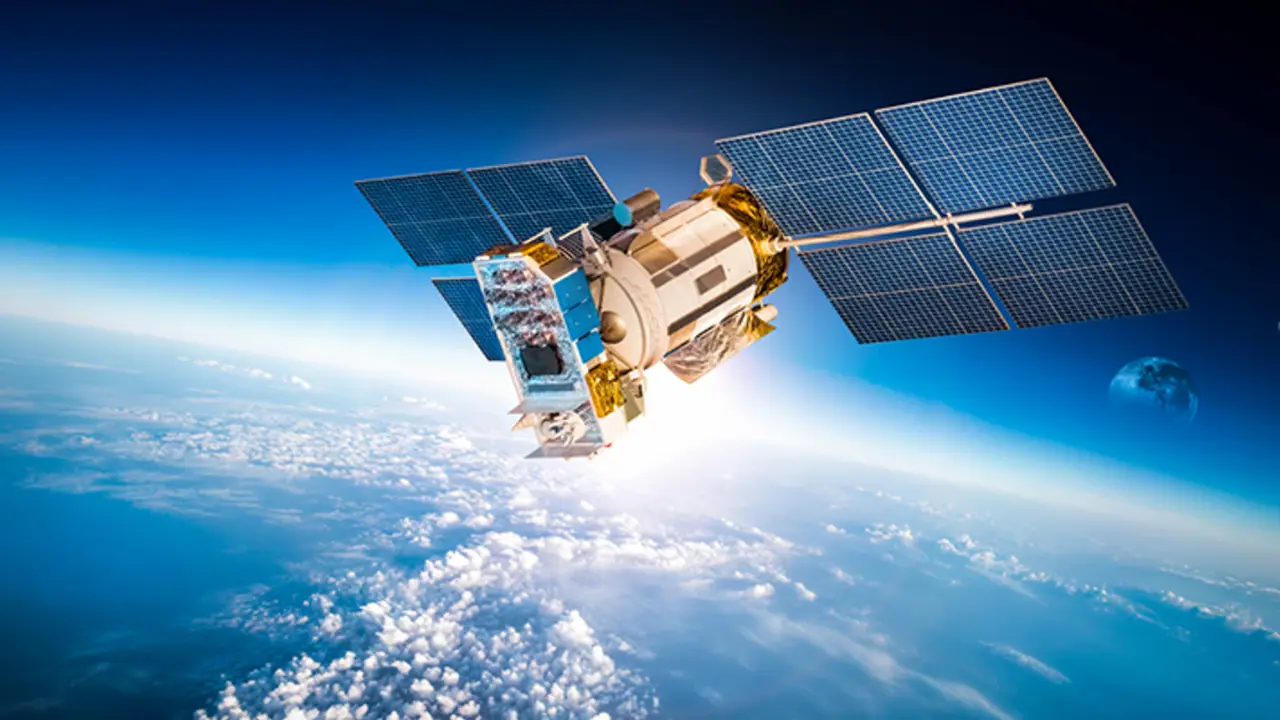
ISRO satellites
ISRO satellites pass over Indian farms daily, capturing multi-spectral images that reveal crop health through colour patterns. Healthy crops reflect light differently than stressed, diseased, or flooded fields, allowing scientists to identify problems before they become visible to farmers on the ground.
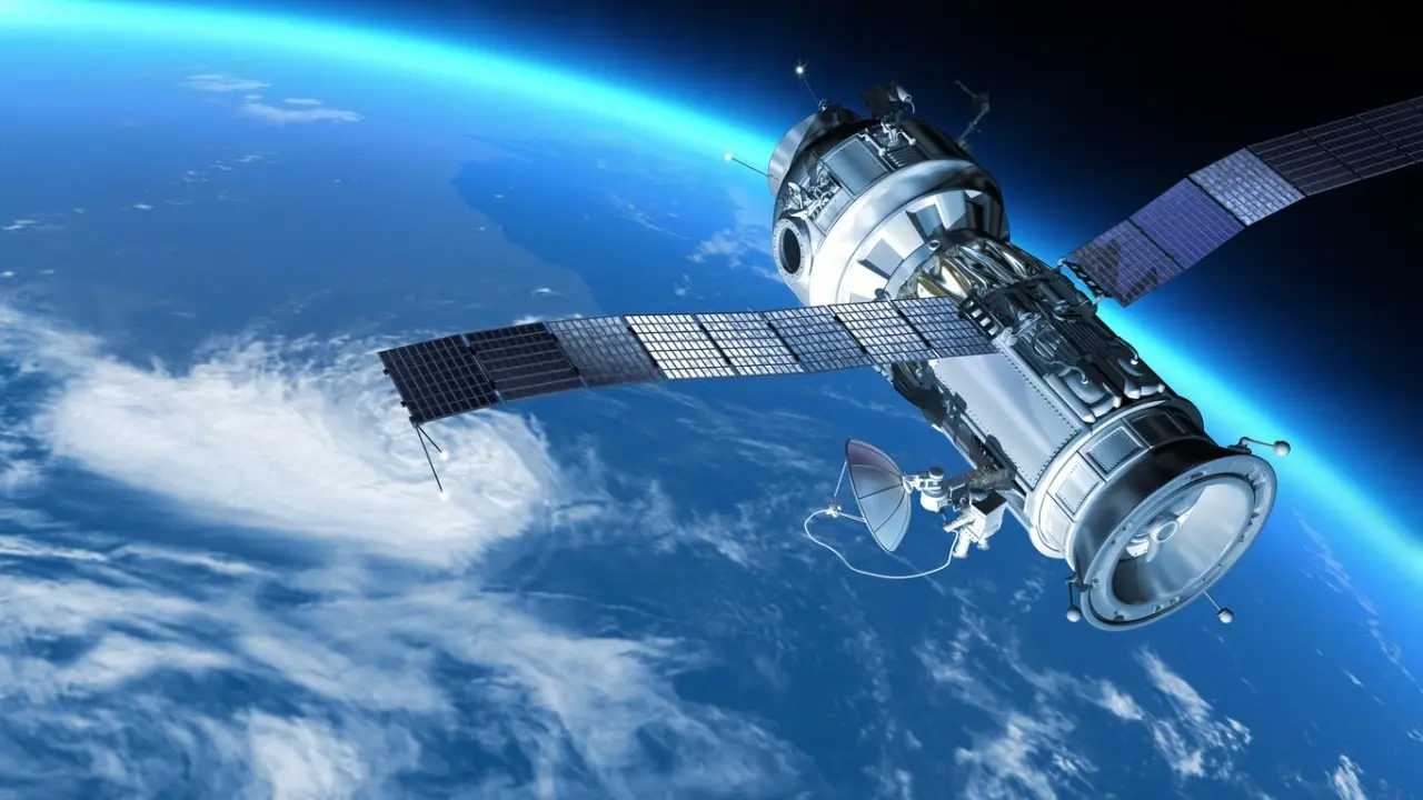
Space-to-phone technology
Farmers now access satellite-based advice through mobile apps that provide weather updates, planting recommendations, and harvest timing. This space-to-phone technology helps smallholder farmers make informed decisions even with limited agricultural education or resources.

Satellite imagery
Satellite imagery helped predict and manage agricultural impacts during recent monsoon seasons. Early warning systems based on space data enabled farmers to protect crops from floods in several states, reducing losses and allowing better preparation for extreme weather events.
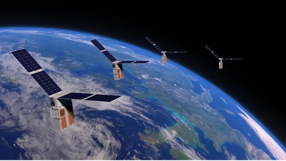
AgriTech startups
Government programmes and AgriTech startups now combine satellite data with local weather stations and soil sensors. This integrated approach provides farmers with precise, location-specific recommendations for irrigation, fertiliser application, and pest management throughout growing seasons.

Technology benefits farmers
The technology particularly benefits farmers in remote areas where traditional agricultural extension services are limited. Satellite monitoring can detect crop stress across vast areas simultaneously, enabling targeted interventions and resource allocation for maximum agricultural productivity.
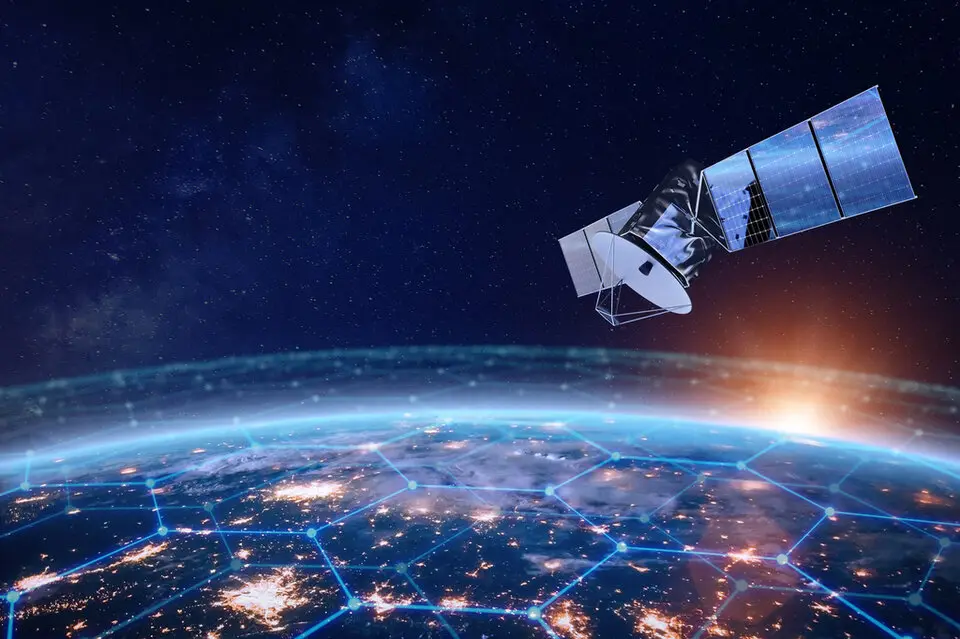
Space-based verification system
Insurance companies use satellite data to assess crop damage and process claims faster after natural disasters. This space-based verification system reduces fraud, speeds up compensation payments, and helps farmers recover more quickly from weather-related losses.
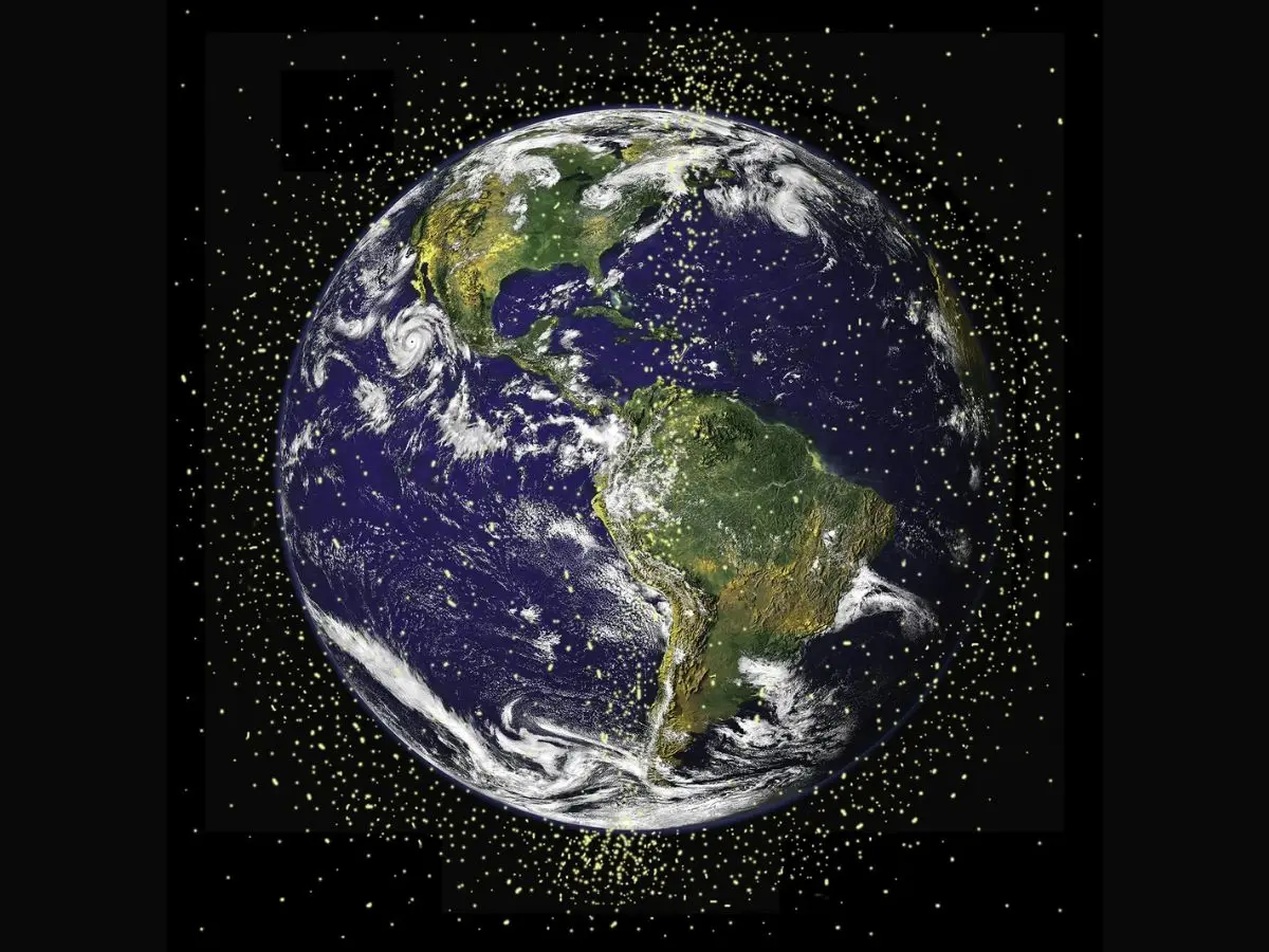
Satellite monitoring system
As India works toward food security for its growing population, satellite monitoring becomes increasingly vital for agricultural planning. The technology helps optimize land use, predict yields, and ensure sustainable farming practices that protect soil and water resources for future generations.
)
)
)
)
)