How geography protect Iran from a US ground invasion?

Iran is a natural fortress. From the 1,600 km Zagros mountain wall to the brutal Lut Desert, geography protects Tehran from any potential ground invasion.
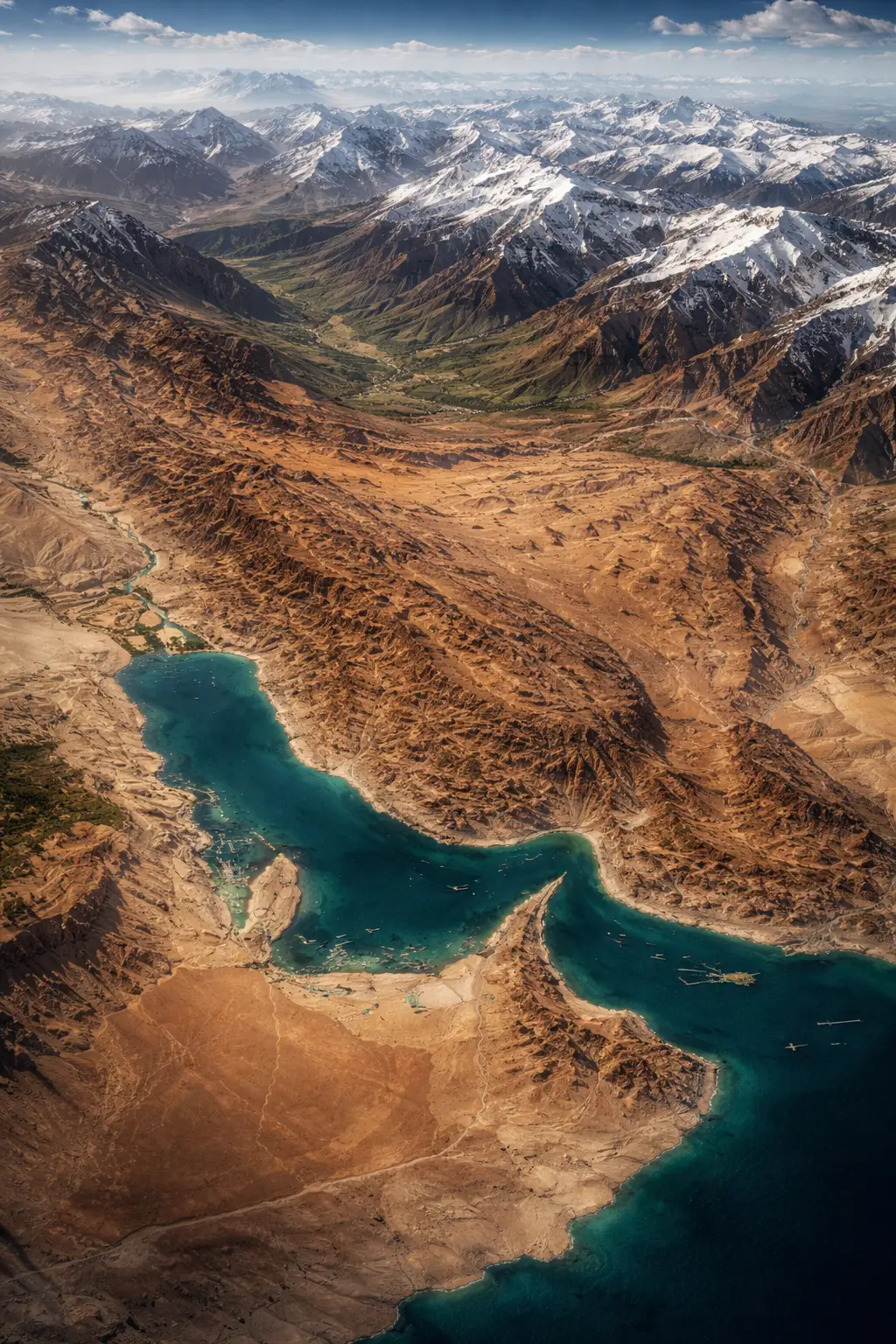
The Zagros Mountain Wall
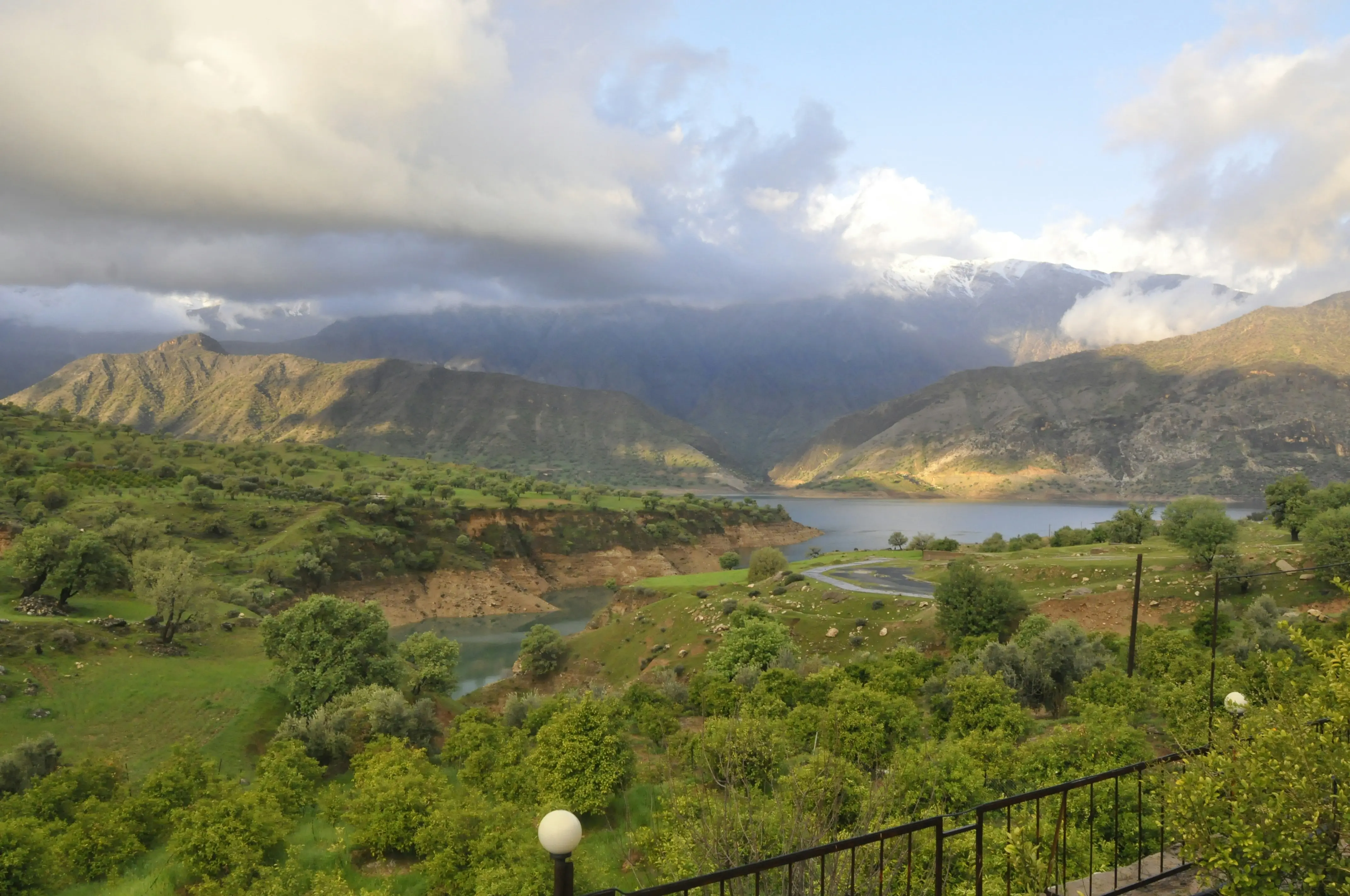
The Zagros Mountains form a massive 1,600 km barrier along Iran’s western border with Iraq and Turkey. With peaks exceeding 4,000 metres, this range prevents large-scale armoured movements into the country.
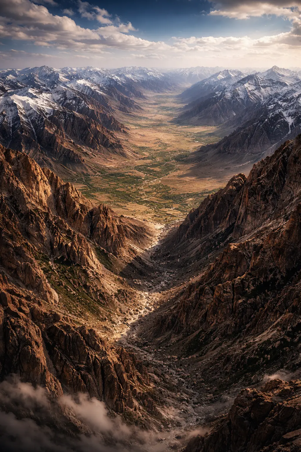
A Land of High Plateaus
The Iranian Plateau sits at an average elevation of 900 metres, surrounded by towering peaks. Any invading force would have to fight uphill through narrow passes to reach the central plains.
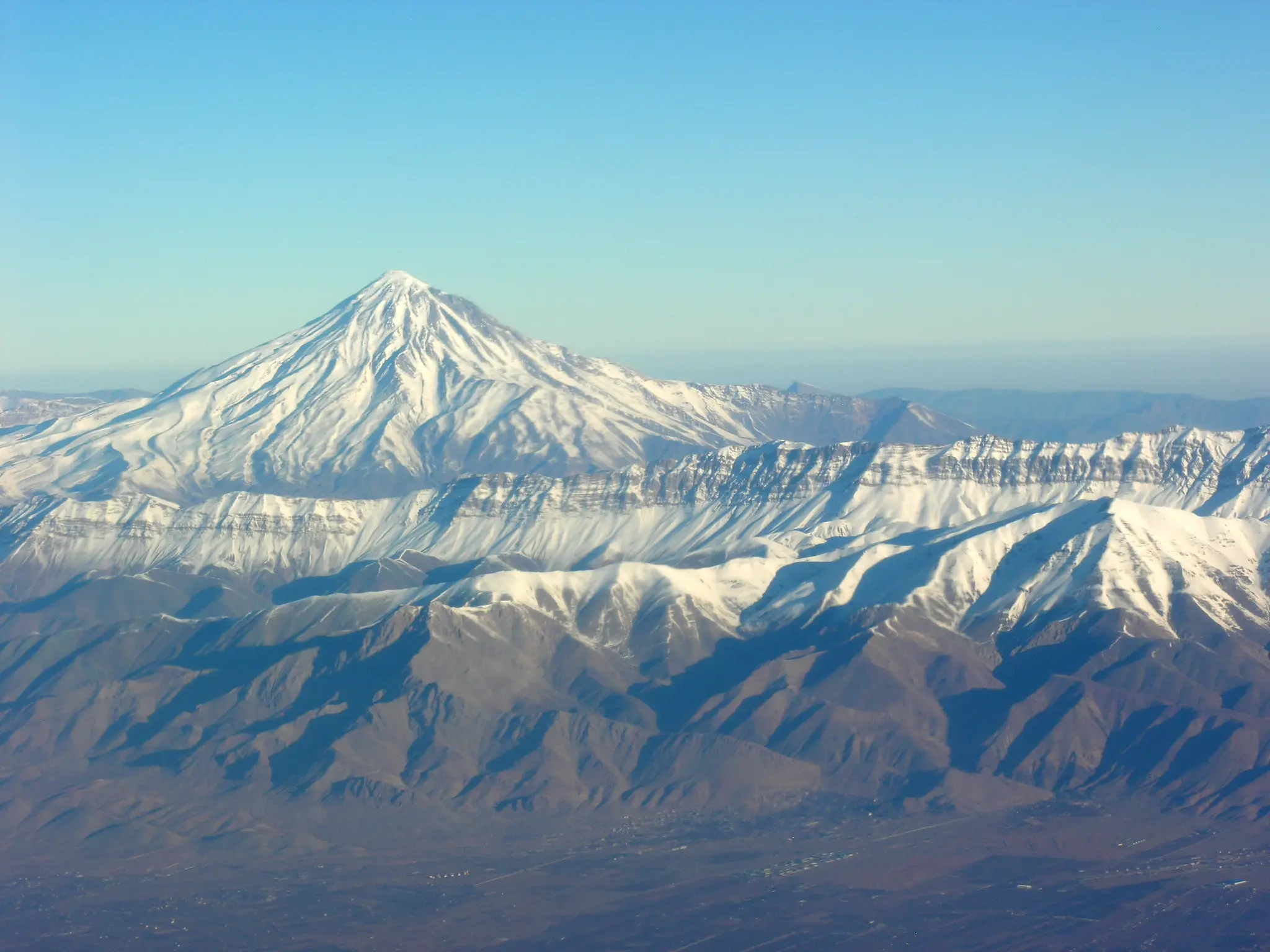
The Northern Shield: Alborz Range
The Alborz Mountains protect the northern heartland and the capital city, Tehran, from the Caspian Sea. These steep mountains create a natural buffer that makes a northern ground assault nearly impossible.
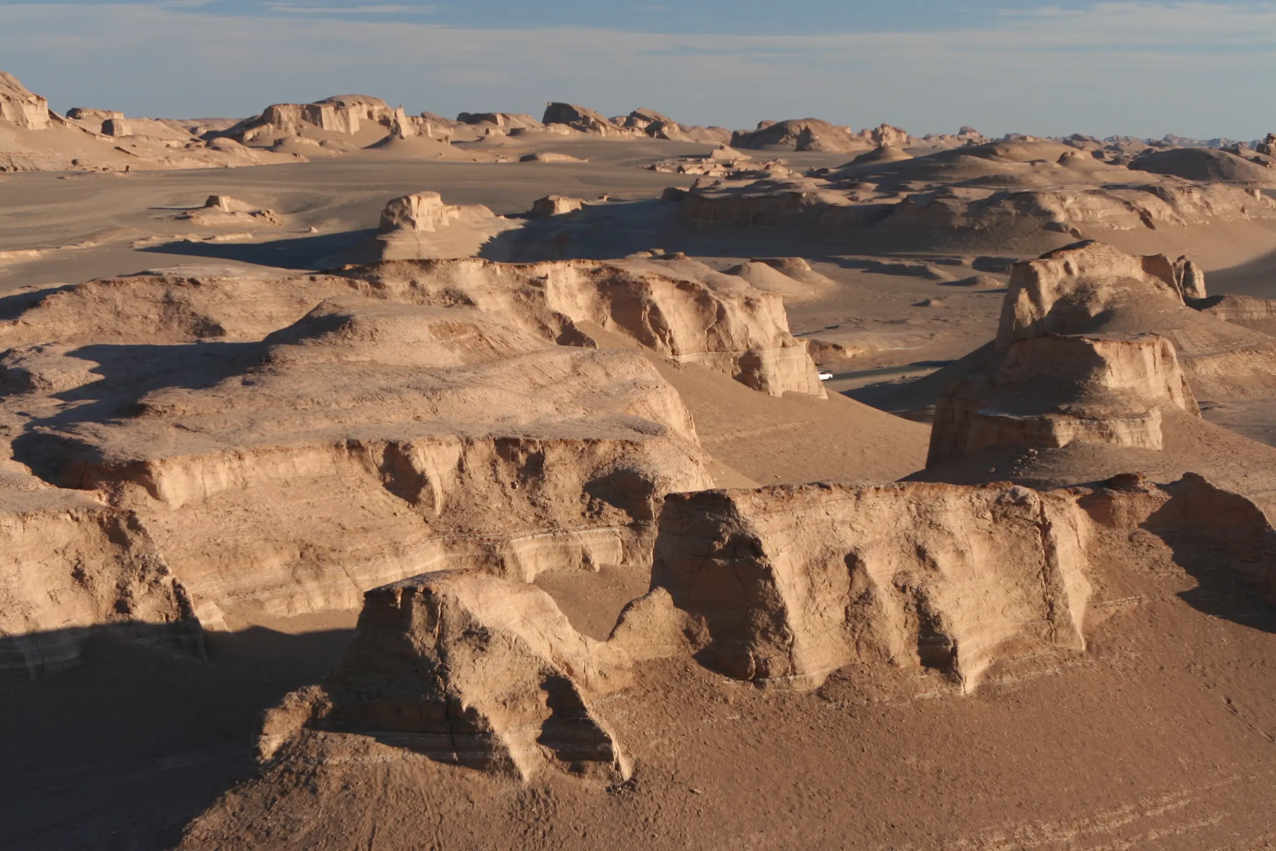
The Forbidding Salt Deserts
At Iran's center lie the Dasht-e Kavir and Dasht-e Lut, some of the hottest and driest places on Earth. These vast, uninhabitable salt wastes act as a dead zone, swallowing logistics and supply lines.
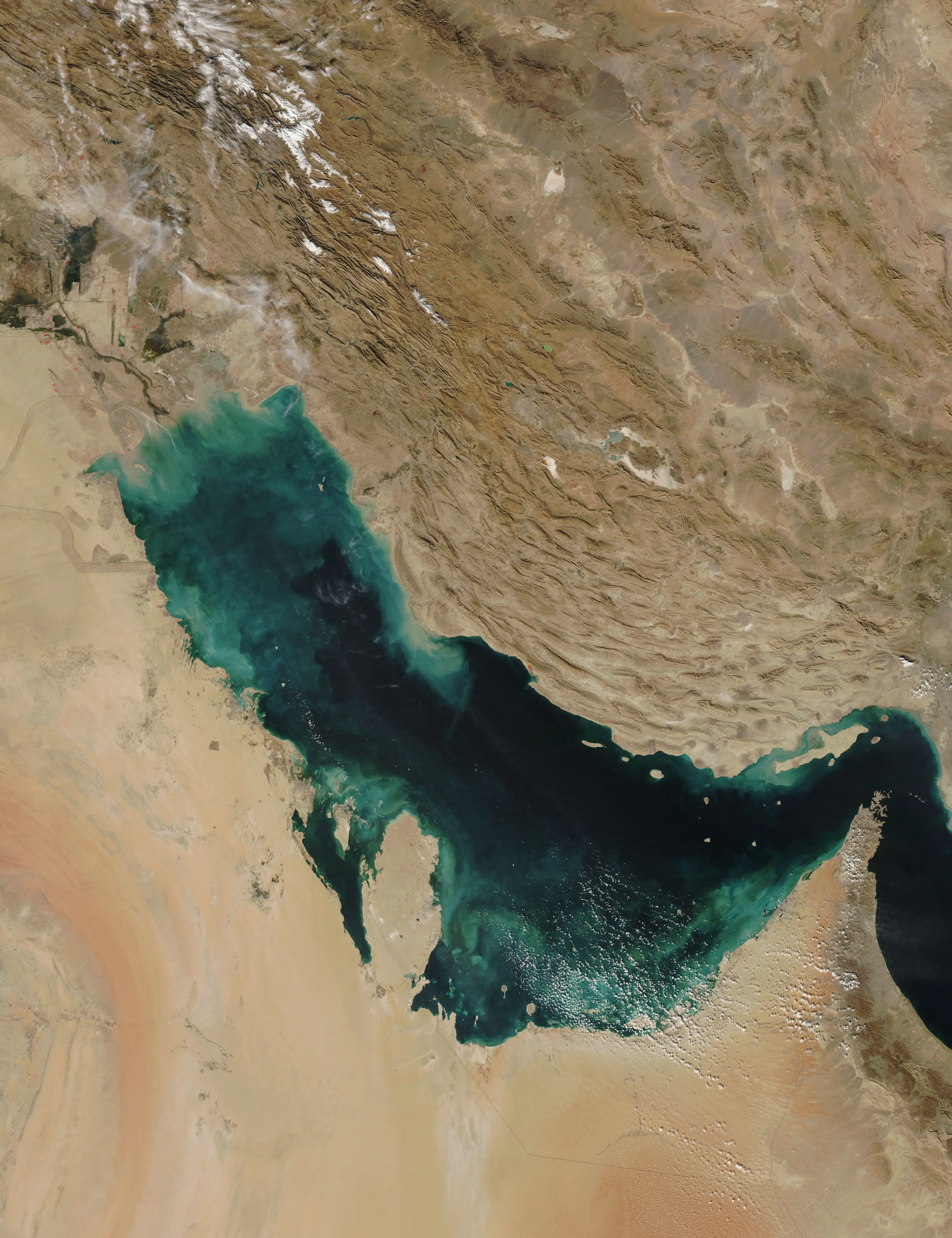
Strategic Coastal Complexity
Iran’s southern coast features a rugged shoreline with numerous rocky inlets and hidden bays. The shallow waters of the Persian Gulf limit the movement of large warships and aircraft carriers.
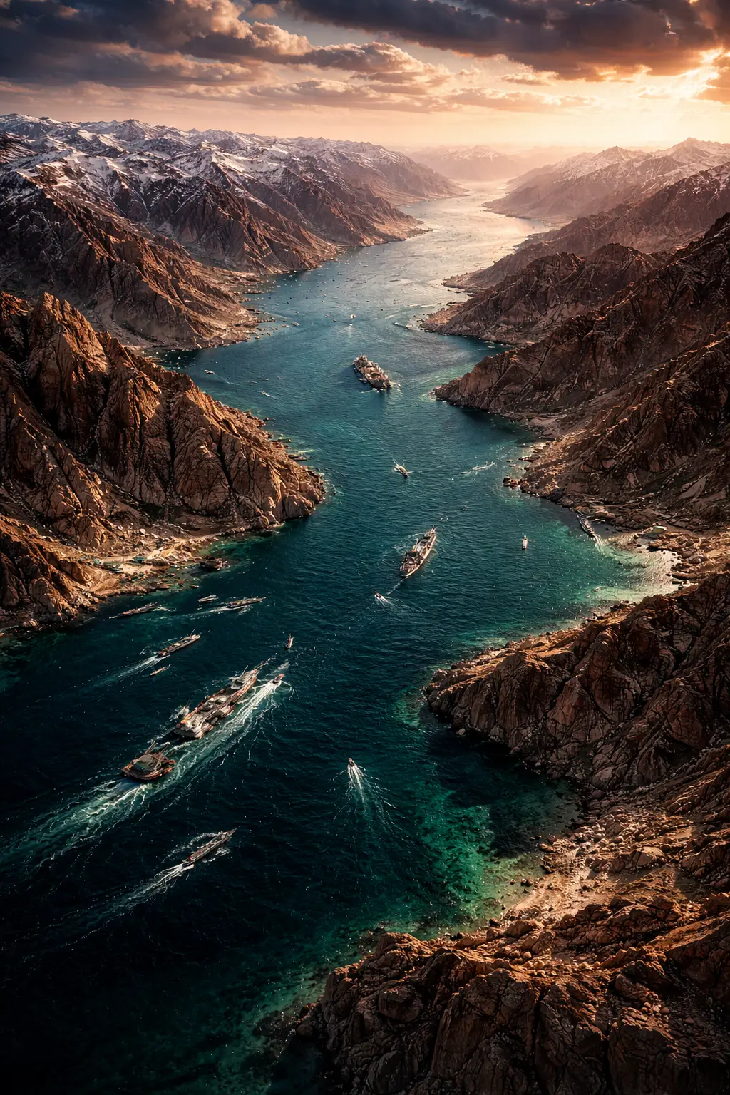
The Strait of Hormuz Chokepoint
This narrow maritime passage is only 35 km wide at its tightest point near the Iranian coast. Iran’s geography allows it to control the world’s most vital oil transit route with ease.
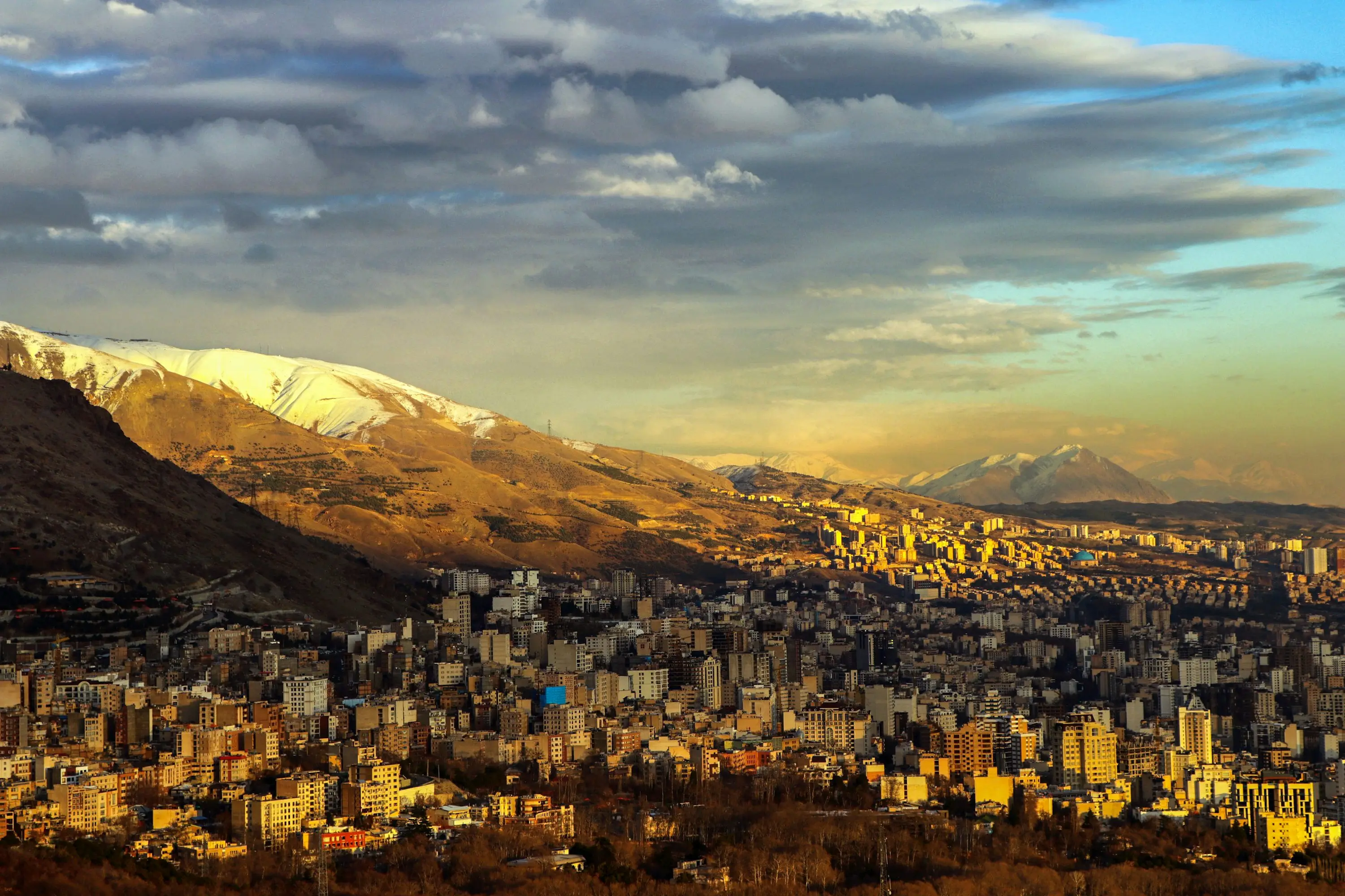
Mountain-Based Population Centres
Unlike many nations, Iran’s major cities are built within or at the foothills of rugged mountains. Taking these cities would require brutal, high-altitude urban warfare that negates modern technological advantages.
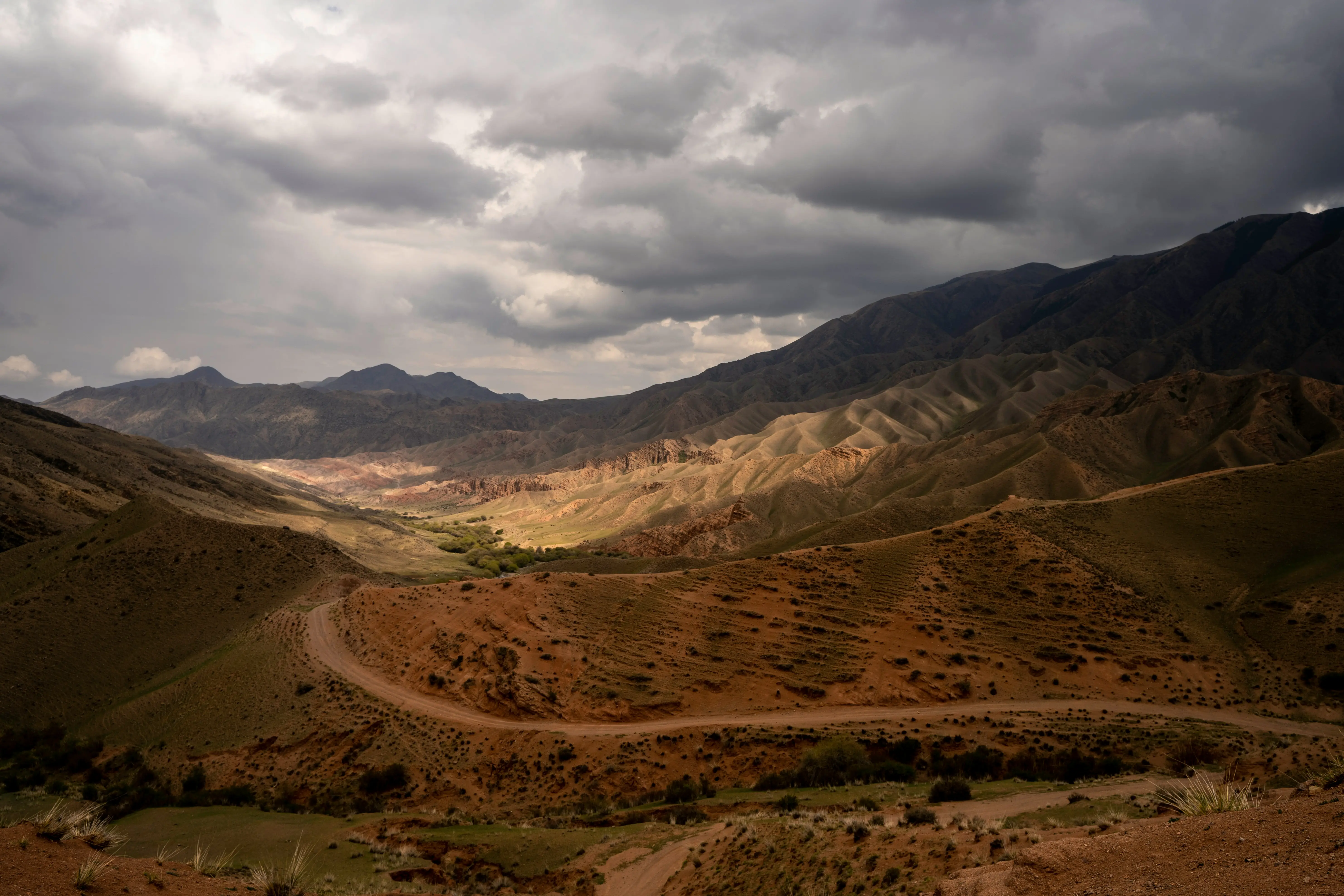
Logistic Nightmare for Invaders
Moving supplies through Iran’s terrain requires navigating a handful of easily defended mountain passes. Invading armies would find their fuel and food chains constantly vulnerable to high-ground ambushes.
The Swampy Buffer of Khuzestan
In the southwest, the marshy terrain of Khuzestan serves as a natural barrier against heavy tanks. These wetlands can be easily flooded or defended, slowing down any western ground advancement.
Strategic Depth and Size
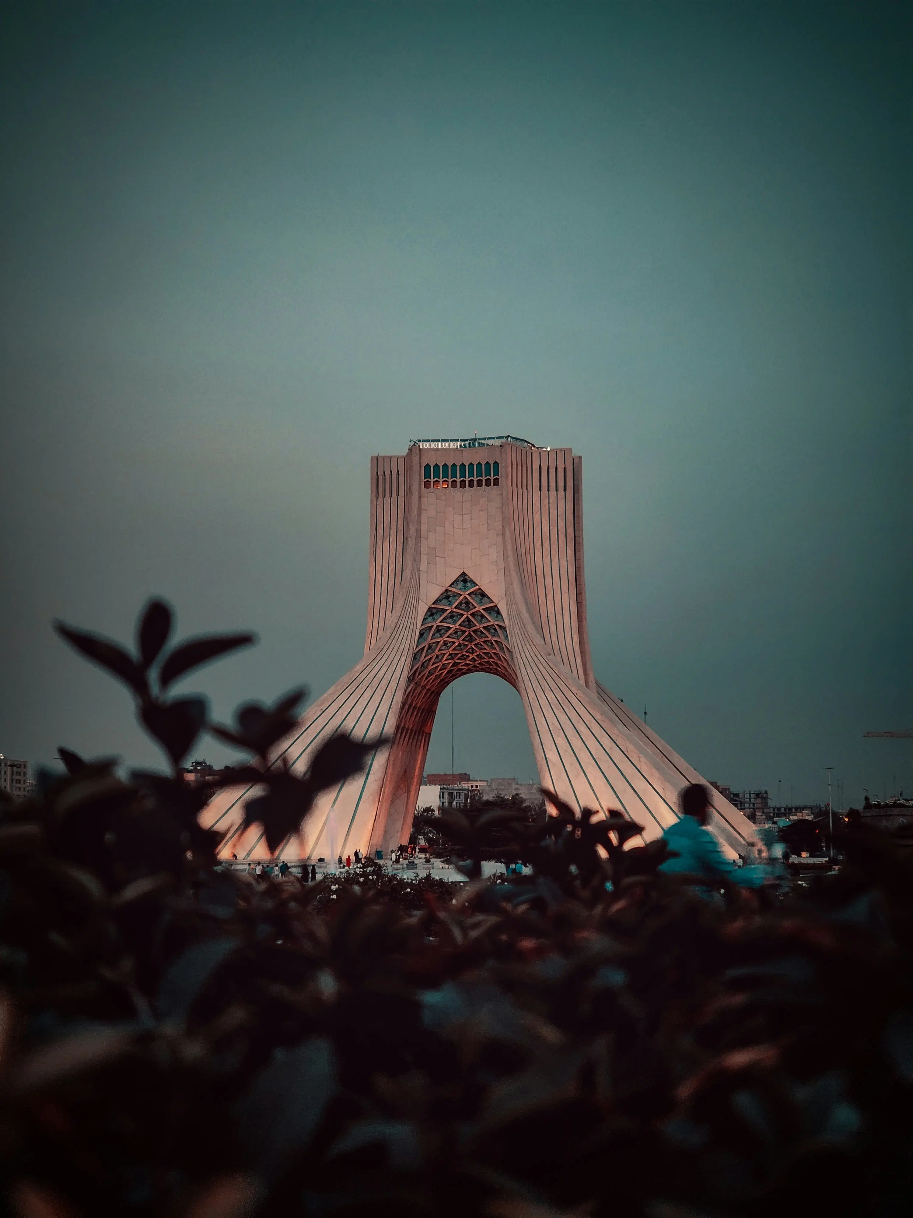
Iran is roughly three times the size of France, covering over 1.6 million square kilometres. Its sheer scale and difficult terrain mean an occupation would require more troops than any modern military can deploy.
)
)
)
)
)