'Radar lock': How USS Spruance spots incoming Iranian threats before they can reach USS Abraham Lincoln

The USS Spruance uses the advanced Aegis Combat System and AN/SPY-1 radar to detect, track, and intercept Iranian drones and missiles, effectively shielding the USS Abraham Lincoln in the Arabian Sea.
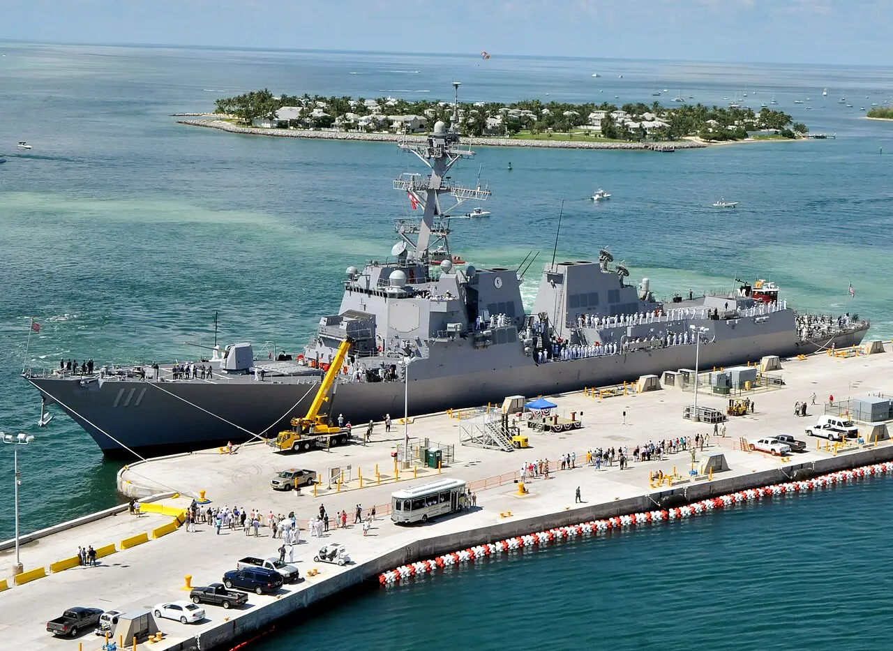
Escorting 100,000-Tonne Carrier
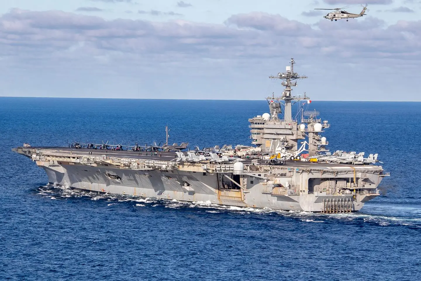
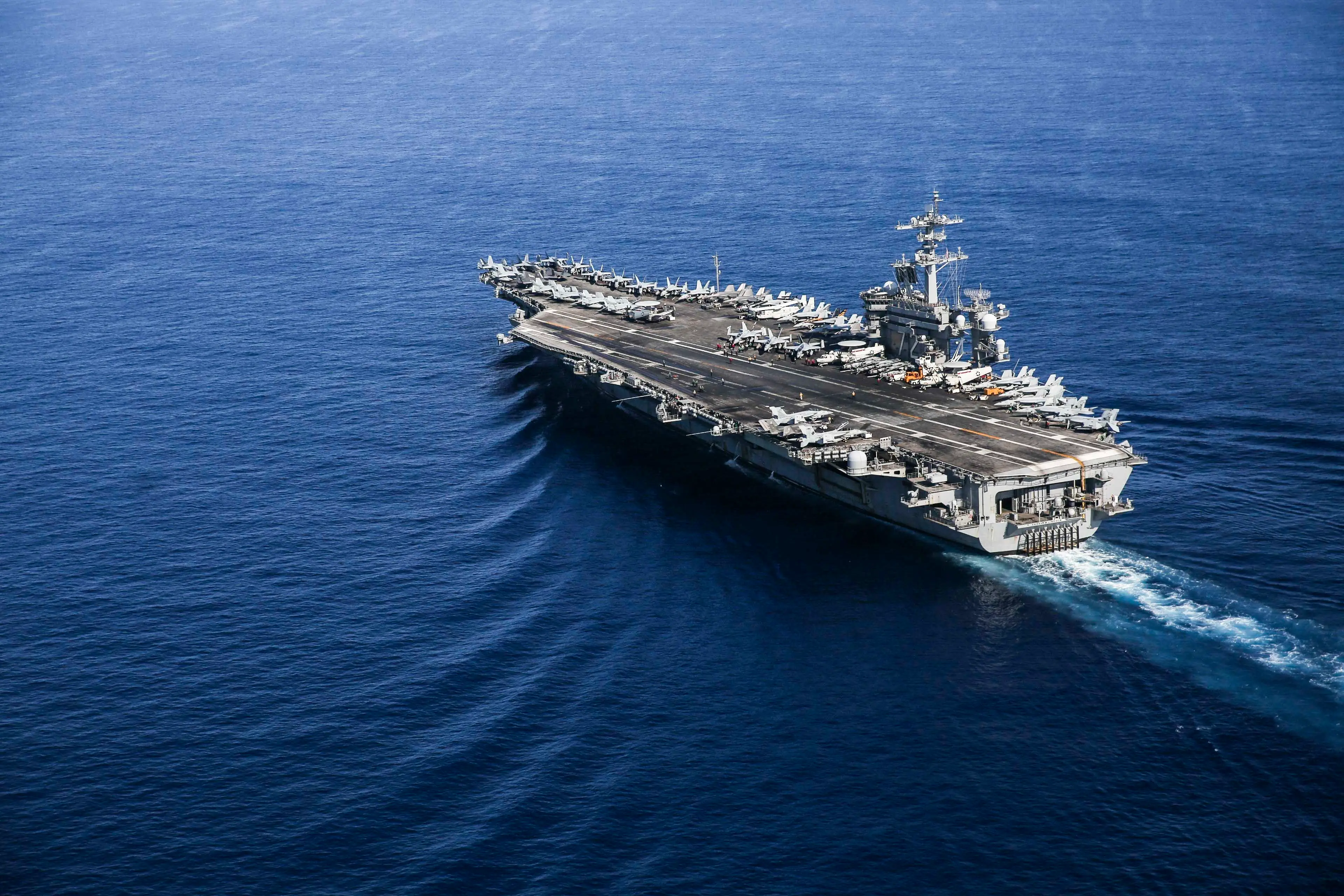
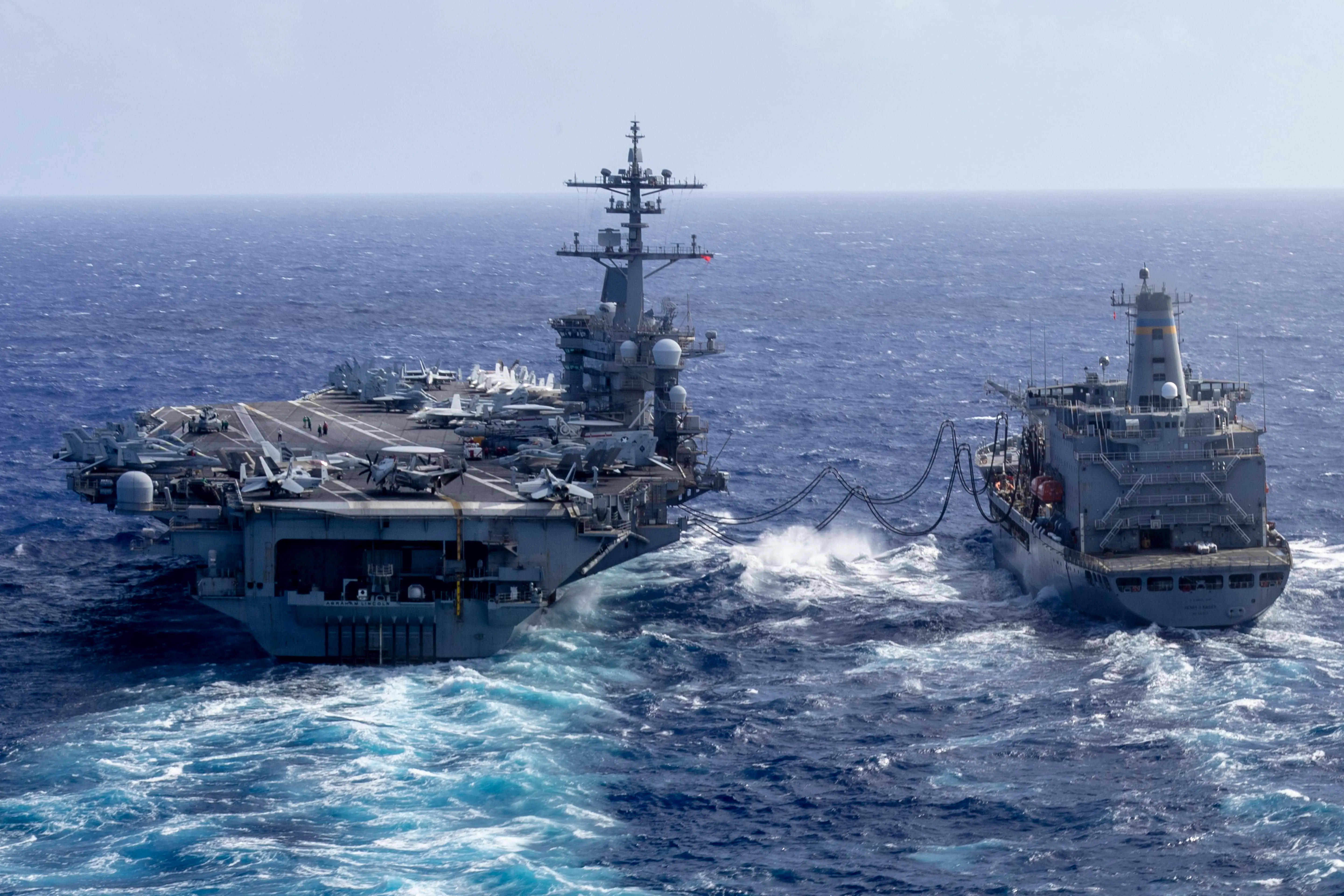
The USS Abraham Lincoln never travels alone in hostile waters. It is heavily escorted by Arleigh Burke-class guided-missile destroyers, including the USS Spruance. These warships form a defensive perimeter, creating a heavily guarded zone around the 100,000-tonne aircraft carrier.
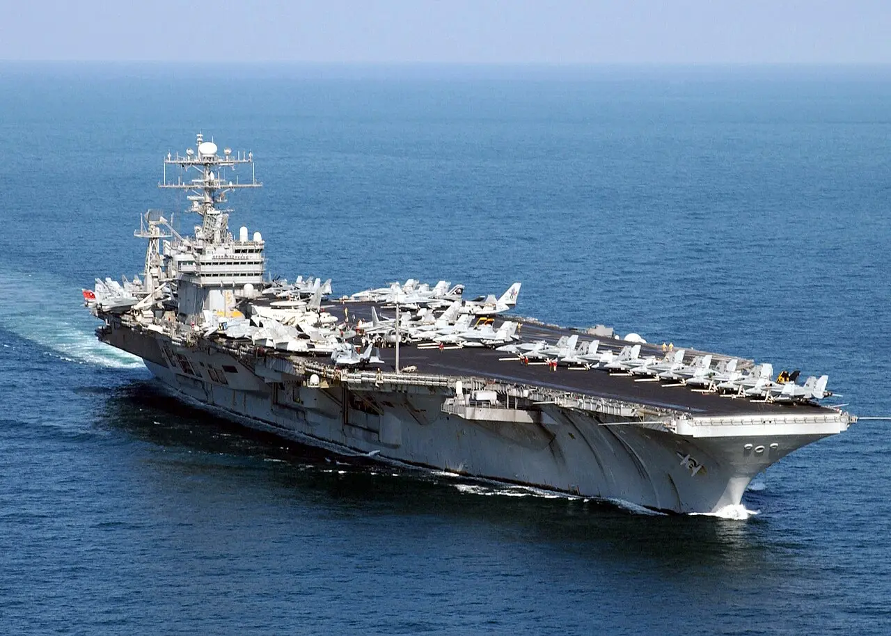
800 km off Iran's Coast
The carrier strike group is currently operating in the Arabian Sea, roughly 800 kilometres (500 miles) off the coast of Iran. At this distance, the USS Spruance plays a critical role in monitoring the airspace. Its crew remains on high alert for any sudden drone or missile launches.
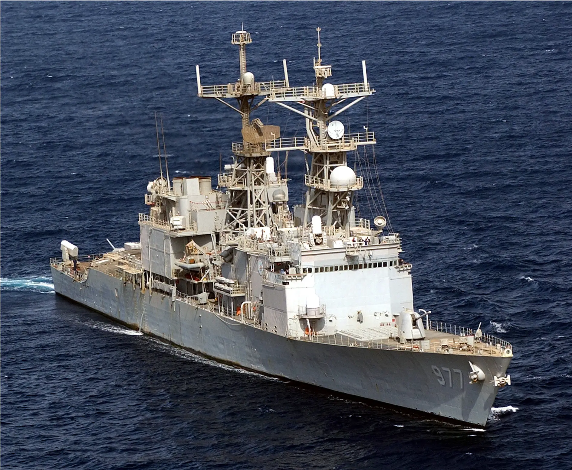
Baseline 9 Aegis System
The USS Spruance operates the highly advanced Aegis Combat System, specifically the Baseline 9 upgrade. This integrated naval weapons system uses powerful computers to track and guide weapons to destroy enemy targets. It serves as the central brain of the destroyer's defensive operations.
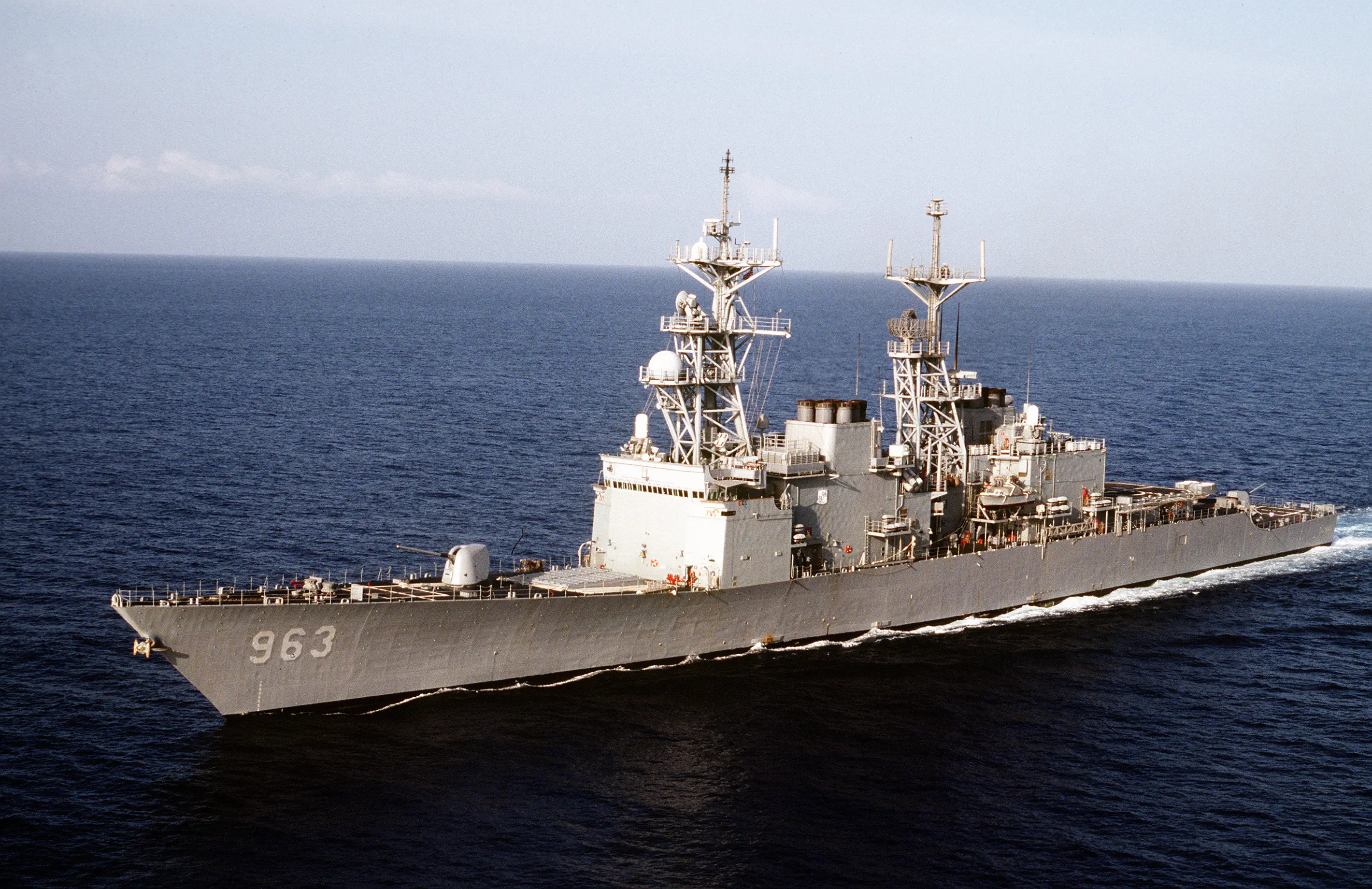
360-Degree Radar Coverage
The primary sensor of the Aegis system is the AN/SPY-1 radar. It uses four flat, phased-array antennas mounted on the ship's superstructure. This design provides continuous 360-degree surveillance, completely eliminating the mechanical sweeping blind spots of older rotating radars.
Tracking Over 800 Targets
The AN/SPY-1 radar can simultaneously track more than 100 targets at once. Whether facing a swarm of Iranian Shahed drones or a barrage of anti-ship missiles, the system quickly processes the data. It immediately prioritises the most severe threats to the carrier strike group.
Radar Range of 370 km
The radar boasts an impressive maximum tracking range of approximately 370 kilometres for large threats like ballistic missiles. It is also incredibly precise, capable of detecting targets as small as a golf ball at distances over 160 kilometres, giving the crew crucial minutes to identify and intercept incoming strikes.
96-Cell Launch System
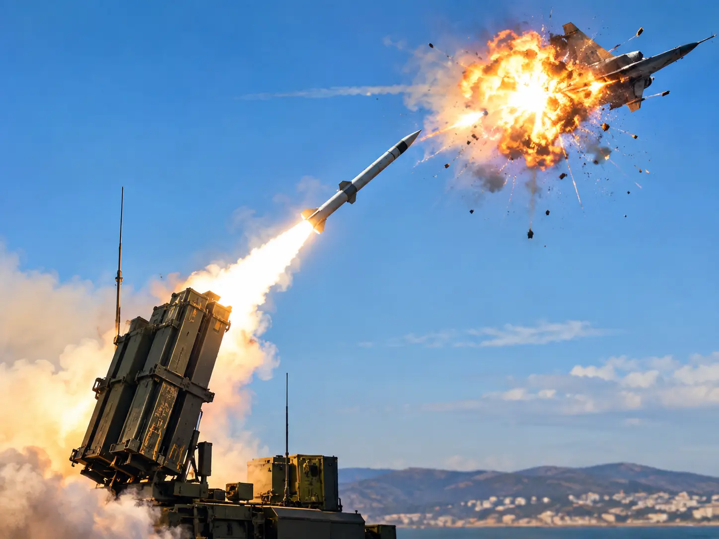
The USS Spruance is armed with a 96-cell Mk 41 Vertical Launching System to counter aerial dangers. This allows the crew to fire a variety of Standard Missiles, like the SM-2 or SM-6. The sheer volume of ready-to-fire missiles ensures the ship can handle multiple simultaneous threats.
10-Second Interception Time
Once a threat is locked, the USS Spruance can launch interceptor missiles in a reaction time of just 10 seconds. The SPY-1 radar provides mid-course tracking, while the ship's separate AN/SPG-62 fire-control radars take over to guide the weapons precisely to their targets, ensuring mid-air destruction.
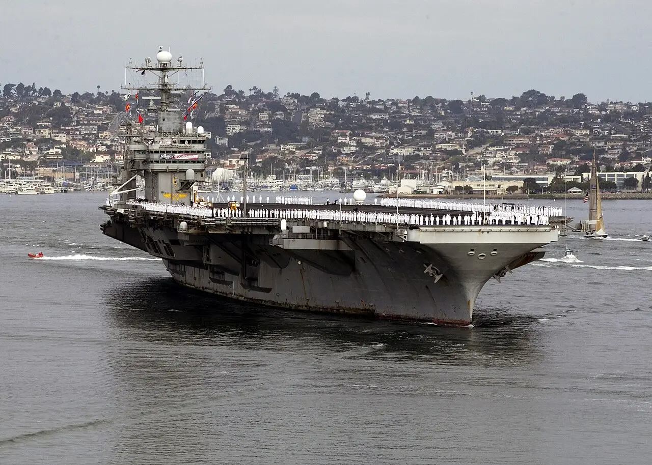
Shielding 5,680 Personnel
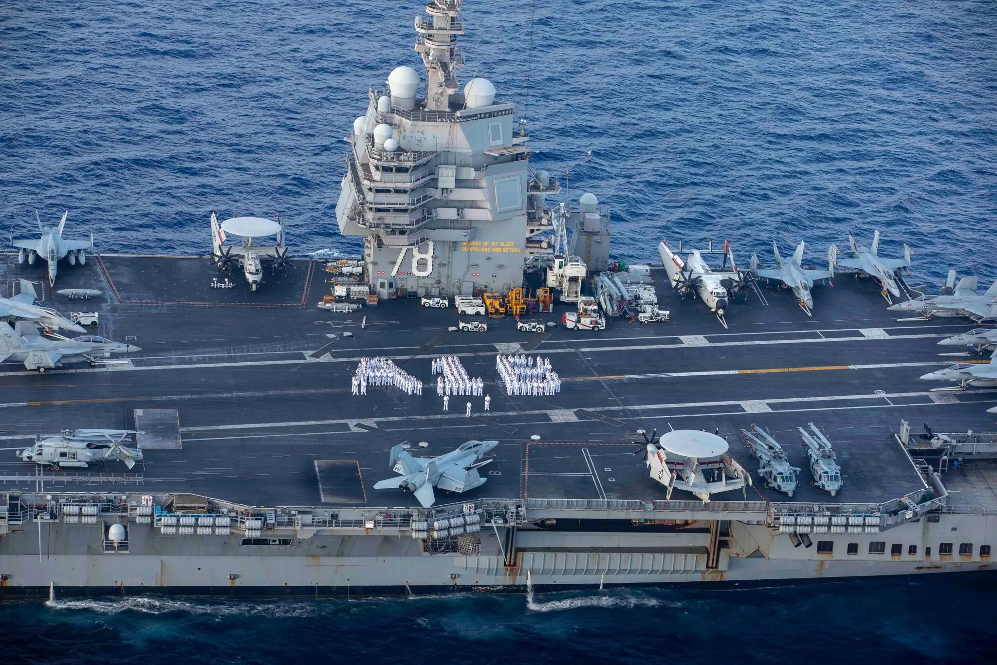
The USS Abraham Lincoln carries approximately 5,680 sailors and marine personnel. By detecting threats hundreds of kilometres away, the USS Spruance ensures the safety of this massive crew. The destroyer absorbs the risk, engaging hostiles before they breach the carrier's airspace.
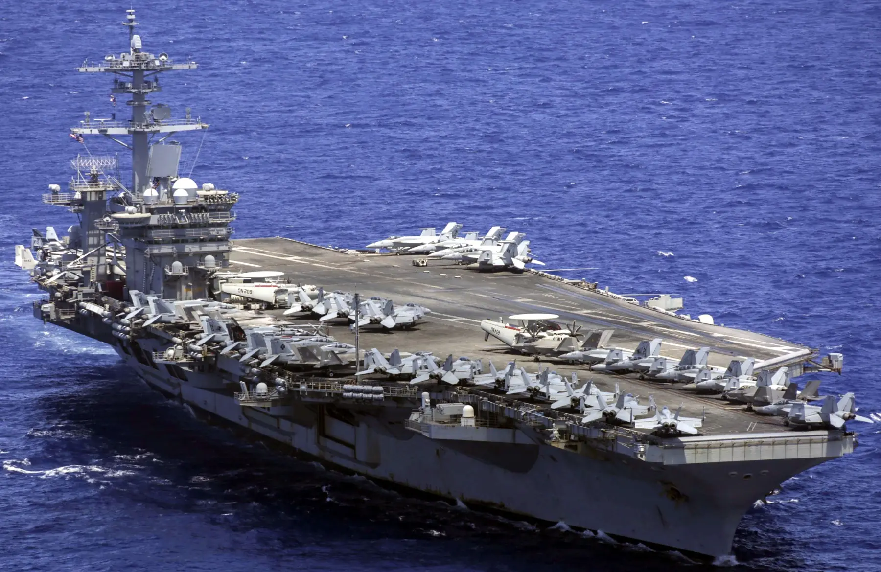
Defending 60 Carrier AircraftDefending 60 Carrier Aircraft
The USS Spruance does not fight in isolation. Its Aegis system shares real-time tracking data with the USS Abraham Lincoln, which carries over 60 aircraft. This creates a unified, networked radar picture, allowing any ship in the fleet to fire upon detected threats and secure the airspace.
)
)
)
)
)