&imwidth=800&imheight=600&format=webp&quality=medium "How a French sailor's workout routine accidentally leaked military secrets amid West Asia war")
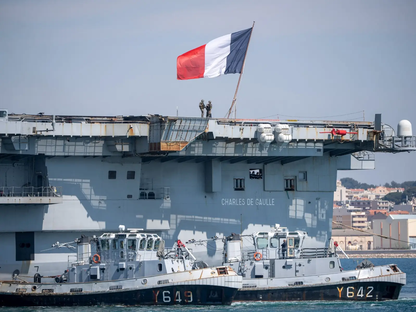
A workout in the middle of a sea, helped trace a French naval vessel. It was an officer’s discipline and workout route logged in a fitness app that led to him revealing the accurate location of the military vessel, which is extremely sensitive data. A 36-minute workout in the midst of the West Asia war, which is affecting the world across, revealed the aircraft carrier Charles de Gaulle’s exact location. The vessel is the French Navy’s flagship and only nuclear-powered aircraft carrier in operation outside the US military.
How was it traced?
A young French sailor diligently completed his workout on board the aircraft carrier. Up to this point, everything is under control, but logging the exercise session in the fitness app Strava is where things went south. While many use the app to track and record their fitness journey, the sailor’s similar action revealed the ship's precise location. Days after US and Israel launched the joint military operation against Iran, France, on March 3, announced the deployment of the carrier, which is now roughly 100 km off the Turkish coast. Strava, which tracks the location, has shown that the vessel is in the northwest of Cyprus.

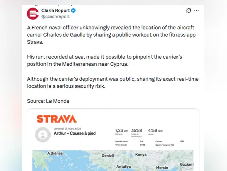)
Strava leaks - Military data revealed Photograph: (Credits: X/@clashreport)
Though the aircraft carrier's deployment was public, but its location in the Mediterranean Sea was sensitive and known to those involved in the operation.
News outlet Le Monde corroborated the data with help of satellite imagery captured shortly after the sailor’s workout, and it revealed more startling information. It showed the presence of a nuclear-powered vessel in the same area as the aircraft carrier. This lapse was acknowledged by the French Armed Forces General Staff, who told the news outlet that such activity did not comply with the operation’s security rules, and appropriate measures will be taken.