NASA captures 120km-wide tsunami wave triggered by Kamchatka earthquake from space

&imwidth=600&imheight=450&format=webp&quality=medium "NASA captures 120km-wide tsunami wave triggered by Kamchatka earthquake from space")
Russia tsunami waves were captured from space. Photograph: (Angel Ruiz‐Angulo - AFP)
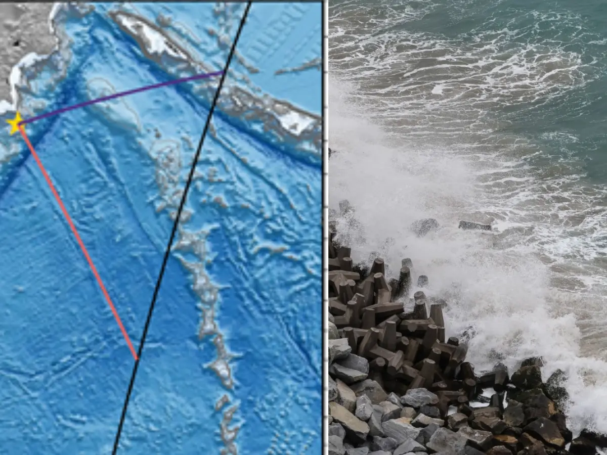
Russia's Kamchatka earthquake triggered a monster tsunami wave in the Pacific, which was captured from space. A NASA satellite saw the wave in real time and captured it over an area of 120 kilometres. It also revealed something about a 1952 earthquake.
The massive 8.8-magnitude earthquake that struck off the coast of Russia's Kamchatka Peninsula in 2025 triggered giant tsunami waves, which have been captured from space. The tremors shook the Pacific, and the ocean was in the grips of tsunami waves, even though no huge waves were reported on the coasts. NASA's new Surface Water and Ocean Topography (SWOT) satellite got to see the monster wave. It was launched in 2022, and this was the largest earthquake the satellite has captured. Using the data from SWOT and deep-ocean tsunami buoys, researchers mapped the earthquake's rupture zone. It stretched to around 402 kilometres, and the intensity caused parts of the seafloor to lift up by 13 feet. The findings were published in Seismic Recordin November 2025.
Scientists combined data from the National Oceanic and Atmospheric Administration's (NOAA) tsunami warning system and NASA's SWOT satellite to understand how the 2025 Kamchatka tsunami was formed. NOAA's DART (Deep-ocean Assessment and Reporting of Tsunamis) has sensors on he seafloor that can detect changes in water pressure. The data is sent to buoys on the surface and satellites in almost real time. The researchers aimed to understand how the seafloor shifted during the Kamchatka earthquake.
NASA satellite captured a 120-kilometre-wide wave
SWOT was passing over the region when the earthquake struck and captured a 120-kilometre-wide wave in the ocean, recording the tsunami's shape and motion from space. When the data was further processed, they gained a clear view of the tsunami waves and how they spread rapidly. This analysis also helped them figure out something else about a magnitude 9 earthquake that struck the same region in 1952. When the data was compared, they found that the 73-year-old earthquake did not release all the built-up stress in the fault, and this is what triggered the earthquake in 2025. The 1952 tremors were more lethal than the latest quake. This finding also questioned the basic model according to which massive earthquakes in the same region occur over hundreds of years.

