UK Met Office issues ‘danger to life’ warning as thunderstorms threaten floods across nation

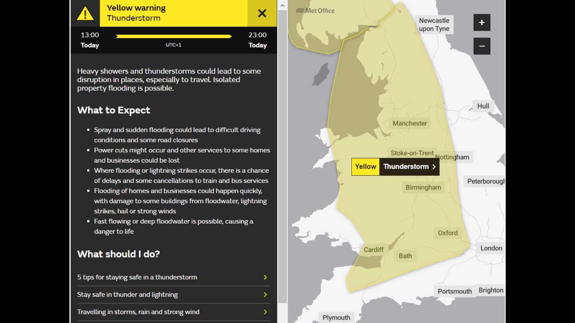
Yellow weather warning issued
UK Met Office has issued a warning that flooding in some areas might pose a "danger to life" as thunderstorms are expected to hit large parts across the United Kingdom on Sunday (May 12) afternoon
With many yellow weather alerts issued around the nation by the Met Office, it appears like Britain's current heat spell is about to end.
Western and central Northern Ireland will be the first to be impacted, with Derry, Omagh, Enniskillen, and Newry among the areas cautioned that heavy rains and thunderstorms could cause dangerous driving conditions, power outages, and floods.
Thunderstorms are expected to hit parts of Wales, as well as western and central England, beginning around 1:00 pm.
The Met Office has issued a warning on X, "Flooding of homes and businesses could happen quickly, with damage to some buildings from floodwater, lightning strikes, hail or strong winds."
"Fast flowing or deep floodwater is possible, causing a danger to life."
Storms will reach Scotland starting around 2:00 pm. The yellow weather signal extends from southern Scotland to the Central Belt, including the Highlands and Islands.
The Met Office said, "There is a small chance of fast-flowing or deep floodwater causing danger to life."
It is expected that the intense downpours and thunderstorms in Northern Ireland will stop at 7:00 pm, while in England and Wales, they will end at about 11:00 pm.
After Saturday (May 11) was officially declared the hottest day of the year thus far, the thunderstorms might put an abrupt stop to the UK's current warm wave.
In England, the highest temperature was recorded in Herstmonceux West End in East Sussex at 25.9C, while Cassley in the Scottish Highlands reached 25.7C. Wales reported 25.1C in Gogerddan, while Northern Ireland recorded 23.8C in Magilligan.
Temperatures in areas of southern and central England are expected to reach 25 degrees Celsius (77 degrees Fahrenheit) again on Sunday, with humid conditions making it another spring scorcher.
(With inputs from agencies)
