Lack of warning signals in Indonesia could bring millions at risk from tsunami caused by underwater landslides

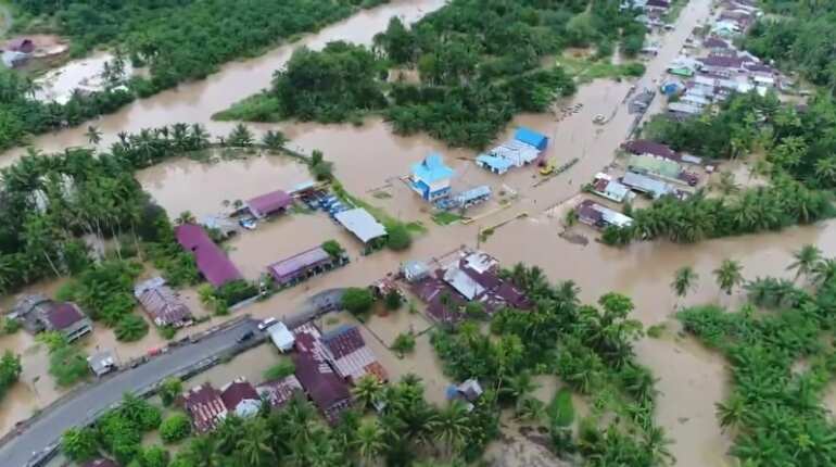
A flooded area is seen in Bengkulu, Indonesia.
Parts of Indonesia that do not have early warning signals for an earthquake are at a risk from a tsunami caused by an underwater landslide, according to scientists.
According to more than 2.5 million years of data, there are 19 old underwater landslides surrounding the nation.
The submarine landslides occur once in every 1,60,000 years.
If history repeats itself in the modern world, cities of Balikpapan and Samarinda with a population of more than 1.6 million people will be at stake.
The newly proposed capital city of Indonesia on the island of Borneo, Balikpapan will be severely impacted, according to researchers.
Coastal communities in the country without early warning signal could be at risk because of the landslides that have occurred in the past, according to a research team monitored by Heriot-Watt University in Edinburgh.
“The largest of the landslides comprised 600 kilometres cubed of sediment, while the smallest we identified were five kilometres cubed,” said Researcher Rachel Brackenridge.
The junk created by the largest landslides had the capacity to fill the Sydney Harbour a thousand times.
The team mapped under the seabed using seismic data, according to Brackenridge.
The seabed is layered and huge sediments chunks are seen which might make things chaotic. Seeing the internal layers and characteristics of the sediments it is evident that the sediment has spilled down a slope like an underwater avalanche.
The death toll has crossed the 4000 marks in the last two years only from the Palu Bay and Anak Krakatau tsunamis.
The 2004 Boxing Day tsunami that took 2,30,000 lives in Indonesia, had its epicentre at the coast of the Indonesian island of Sumatra.
According to researchers, the landslides were the side-effect of a strong current that acts as conveyor belts carrying sediments from the Mahakam Delta to the continental slope to the south. This makes the seabed steep and week leading to landslides.
Researchers estimate that the largest tsunamigenic event took place every 5,00,000 years.
The problem is that Indonesia has the warning signals in a different place but not in areas that would be worst affected by a tsunami generated from the landslides.
Researchers are now quantifying the risk by making various models od landslide and tsunami generation, which would help them predict the scope and size of the threshold that causes tsunamis and inform mitigation strategies.