

&imwidth=800&imheight=600&format=webp&quality=medium "Kamchatka, Russia earthquake today: The real reason this remote Russian region shakes so often")
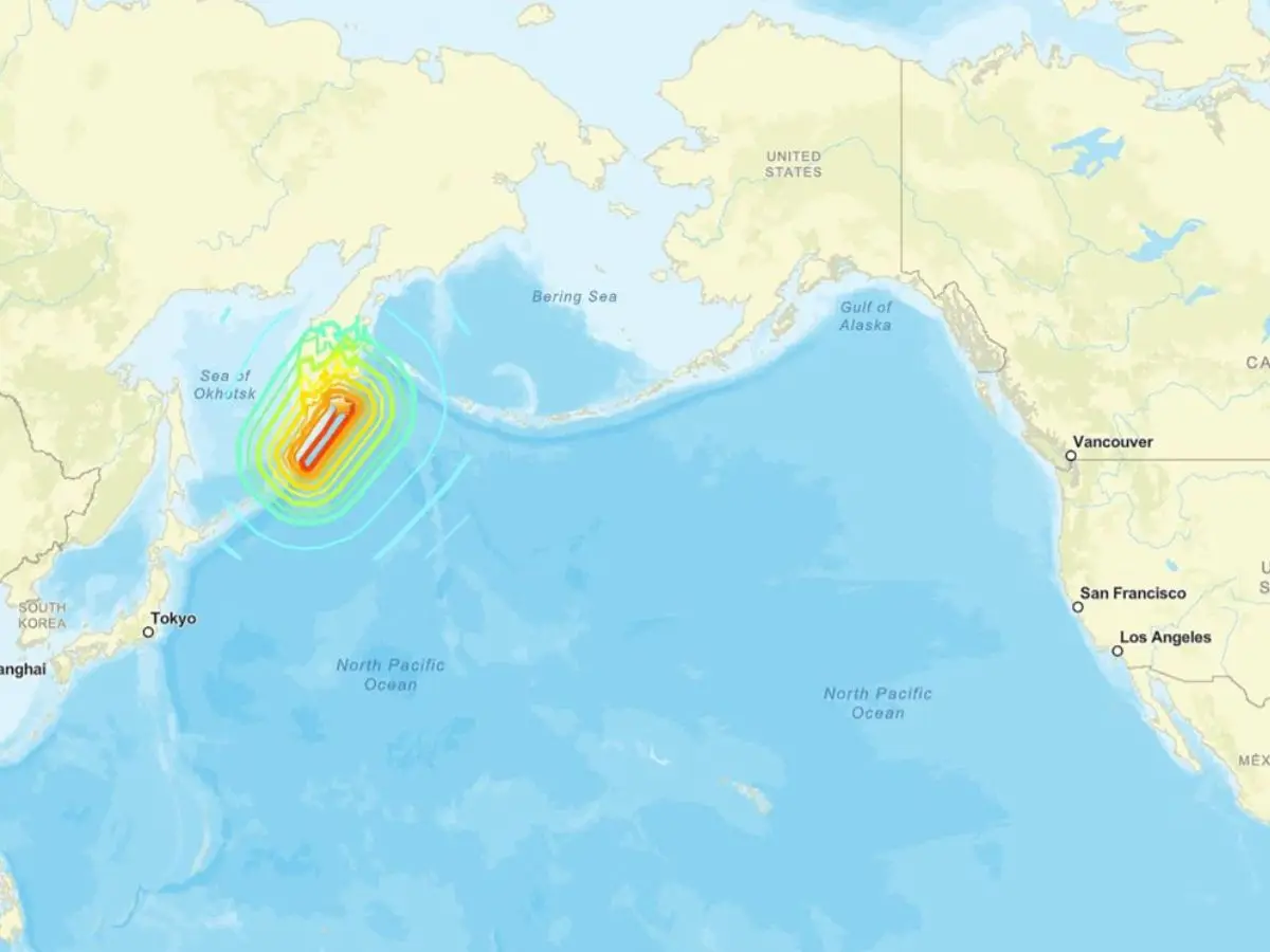
Russia's Kamchatka region was hit with a massive earthquake at local time 4:15 am on July 30. Within minutes, a 4-meter-long tsunami has struck the eastern coast, specifically the Kuril Islands. The mayor of the Kuril Islands confirmed that everyone has successfully evacuated to safety, following the tsunami which caused flooding and swept away buildings. Authorities in Japan, Hawaii, Alaska, Mexico, and other coastal regions issued alerts as fears of further shaking and tidal surges spread worldwide. This occasion was the largest earthquake in the region since 1952, when an earthquake of magnitude 9 hit the same subduction zone, triggering a devastating tsunami which spread as far as Hawaii.
What makes Kamchatka a seismic hotspot?
Kamchatka's high seismic activity stems from its proximity to the Pacific Ring of Fire. The region is notorious for its frequent volcanic eruptions and earthquakes. The Kuril–Kamchatka Trench lies on top of the subduction zone where the Pacific Plate is sliding beneath the Okhotsk Plate at a speed of 77-86 mm per year. This process of one plate sliding beneath another is known as Subduction, and it produces huge geological stresses and resulting in massive thrusts or earthquakes.
The region also has 160 volcanoes, among which 29 are active and display constant tectonic movements. There had been at least 7 earthquakes of magnitude 8.3 and above since 1900. The deadliest came in 1952 when an earthquake of magnitude 9 hit the region, triggering a trans-Pacific tsunami of height 9.1 meters and killing over 2,300 people.
The July 30, 2025, earthquake was generated at a depth of 19–20 km and produced a tsunami wave of 3-5 meters, damaging coastal towns and infrastructure such as schools and hospitals/

